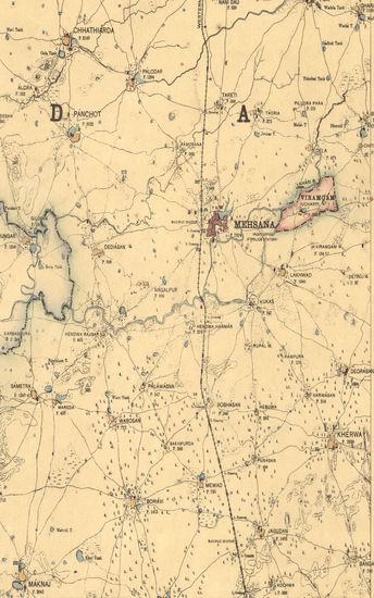
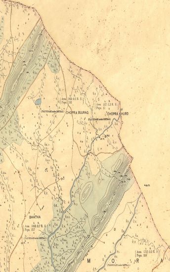
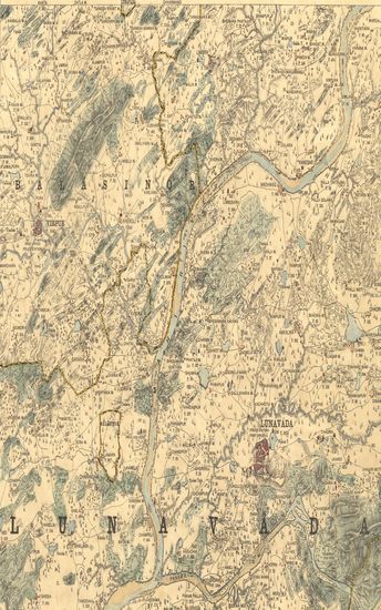
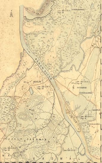
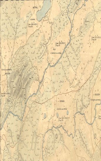
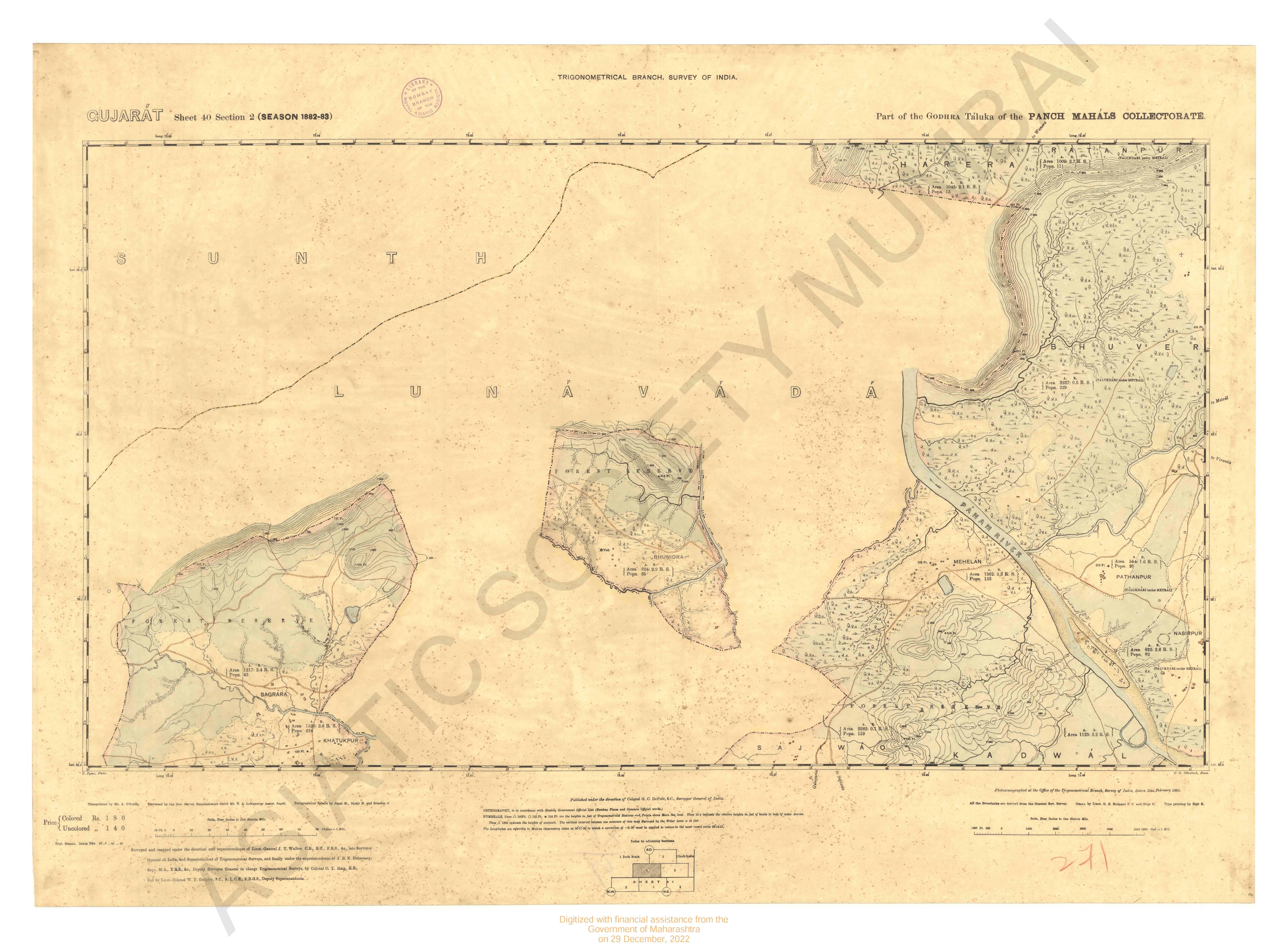
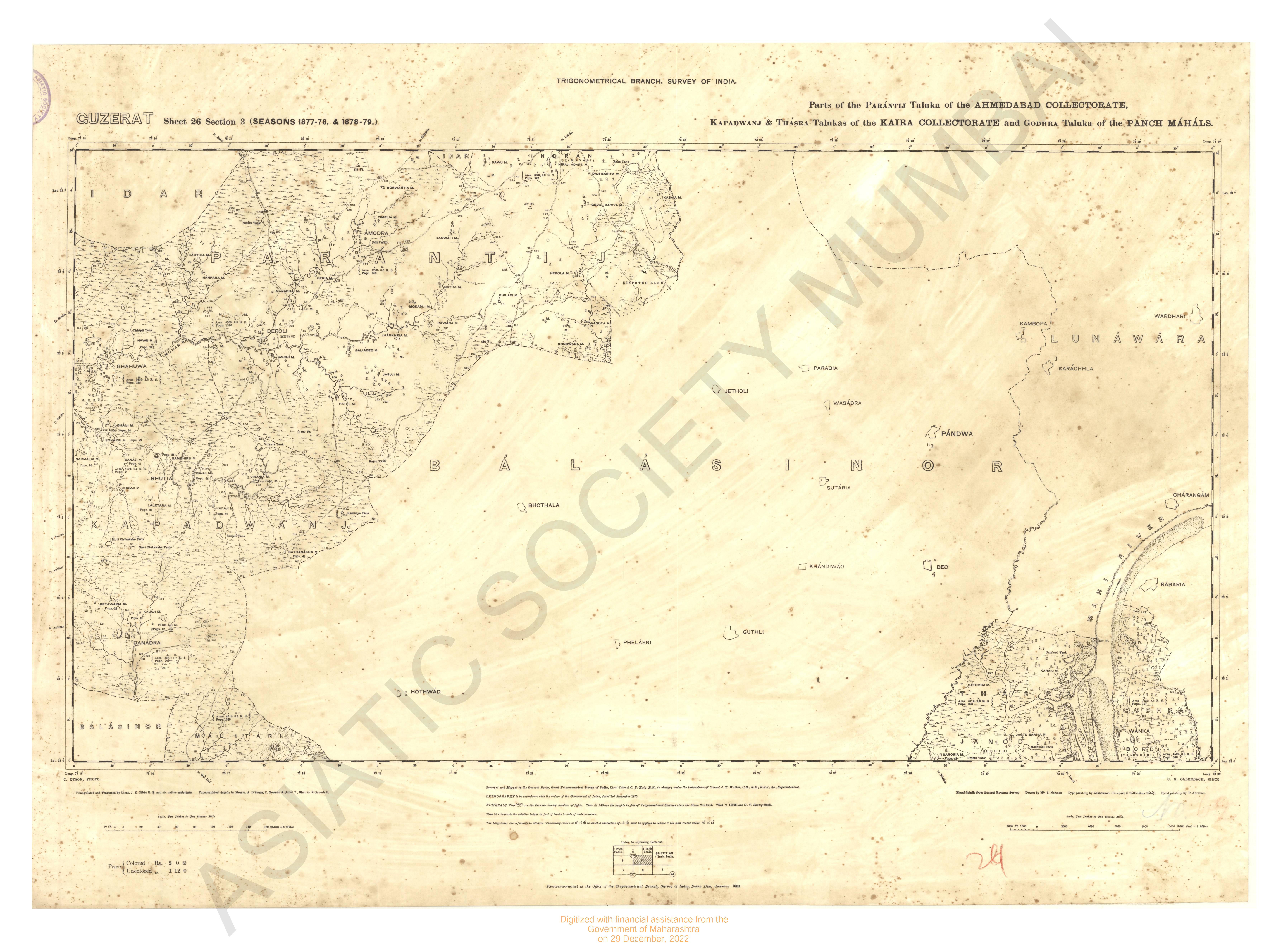
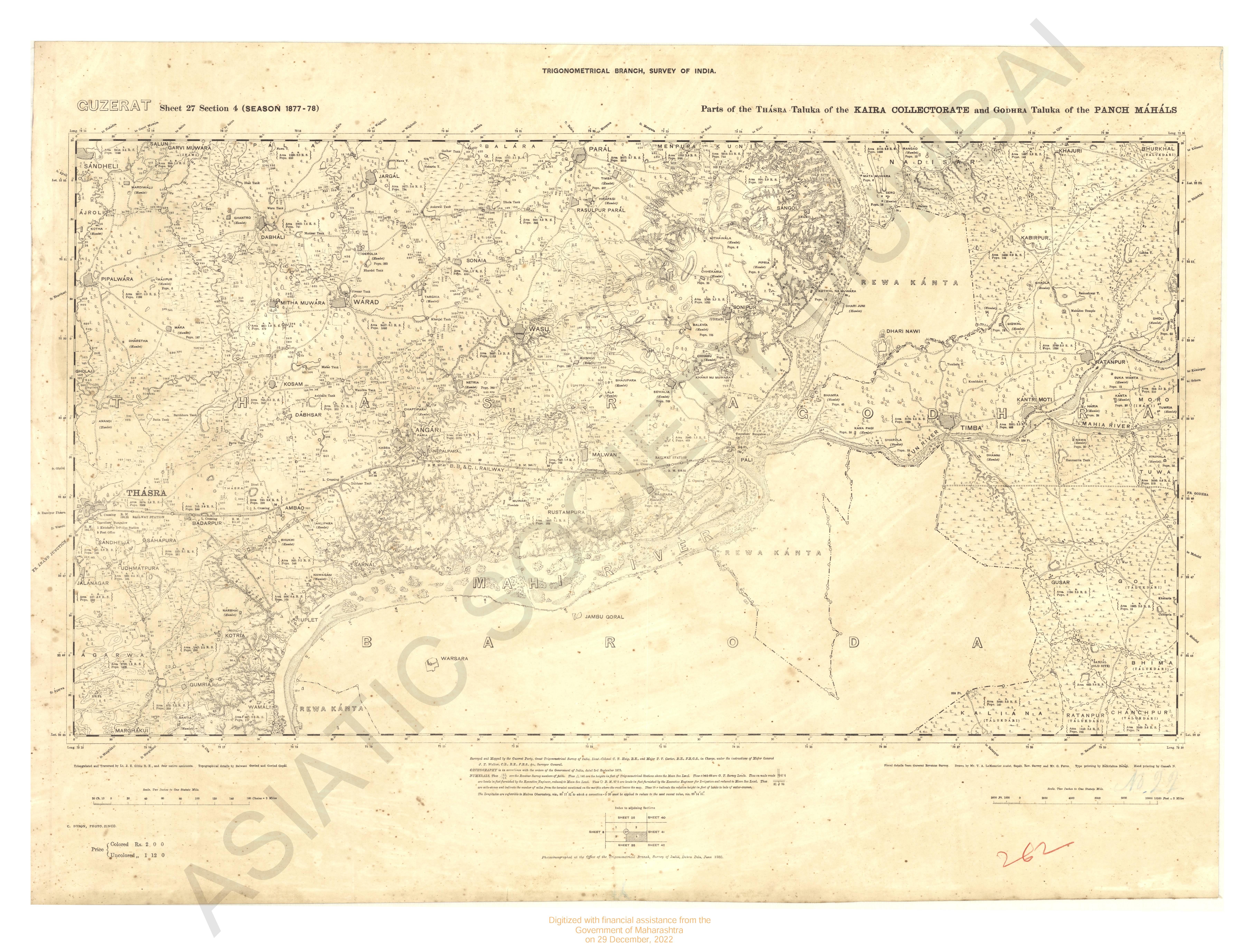
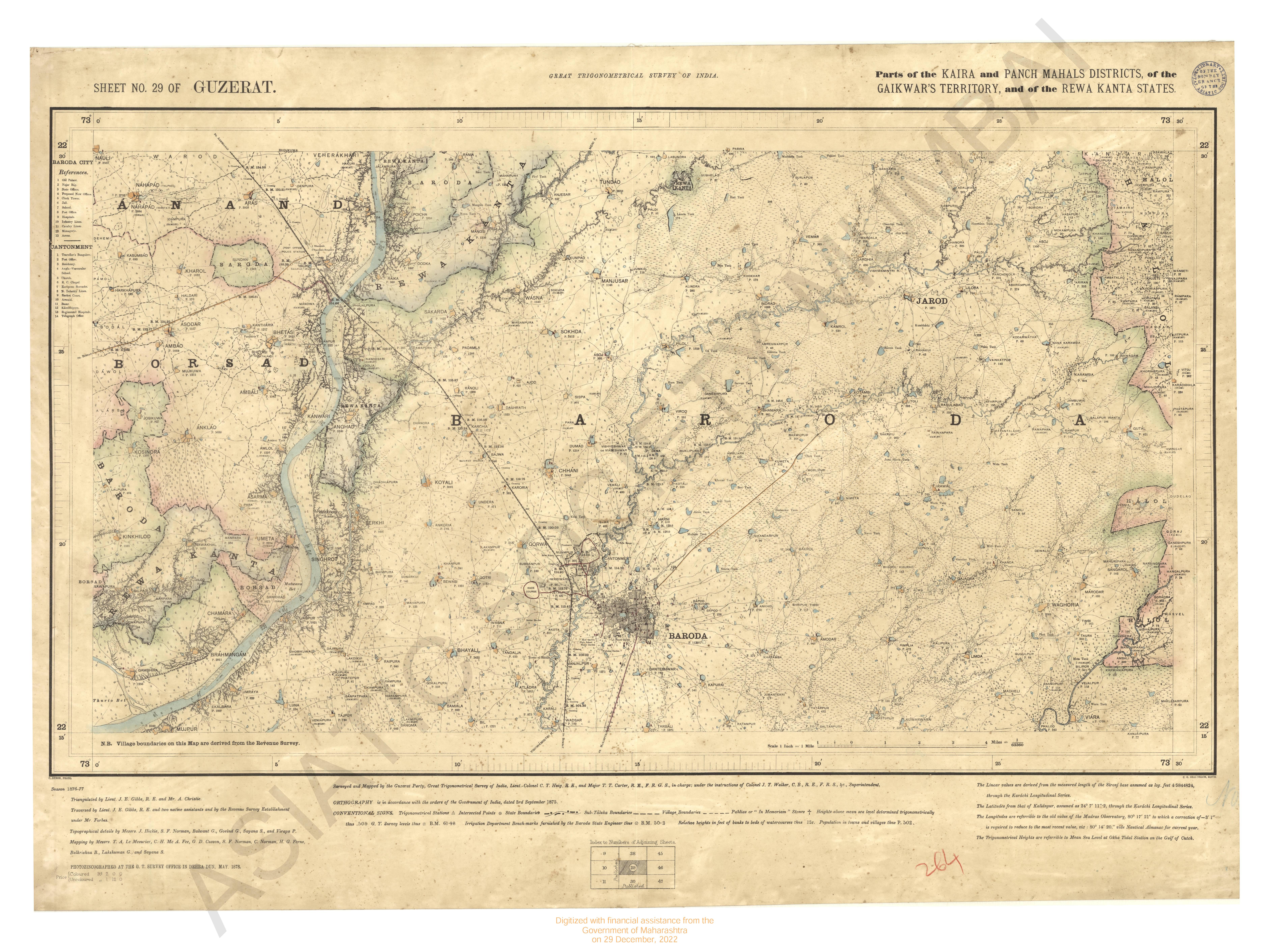
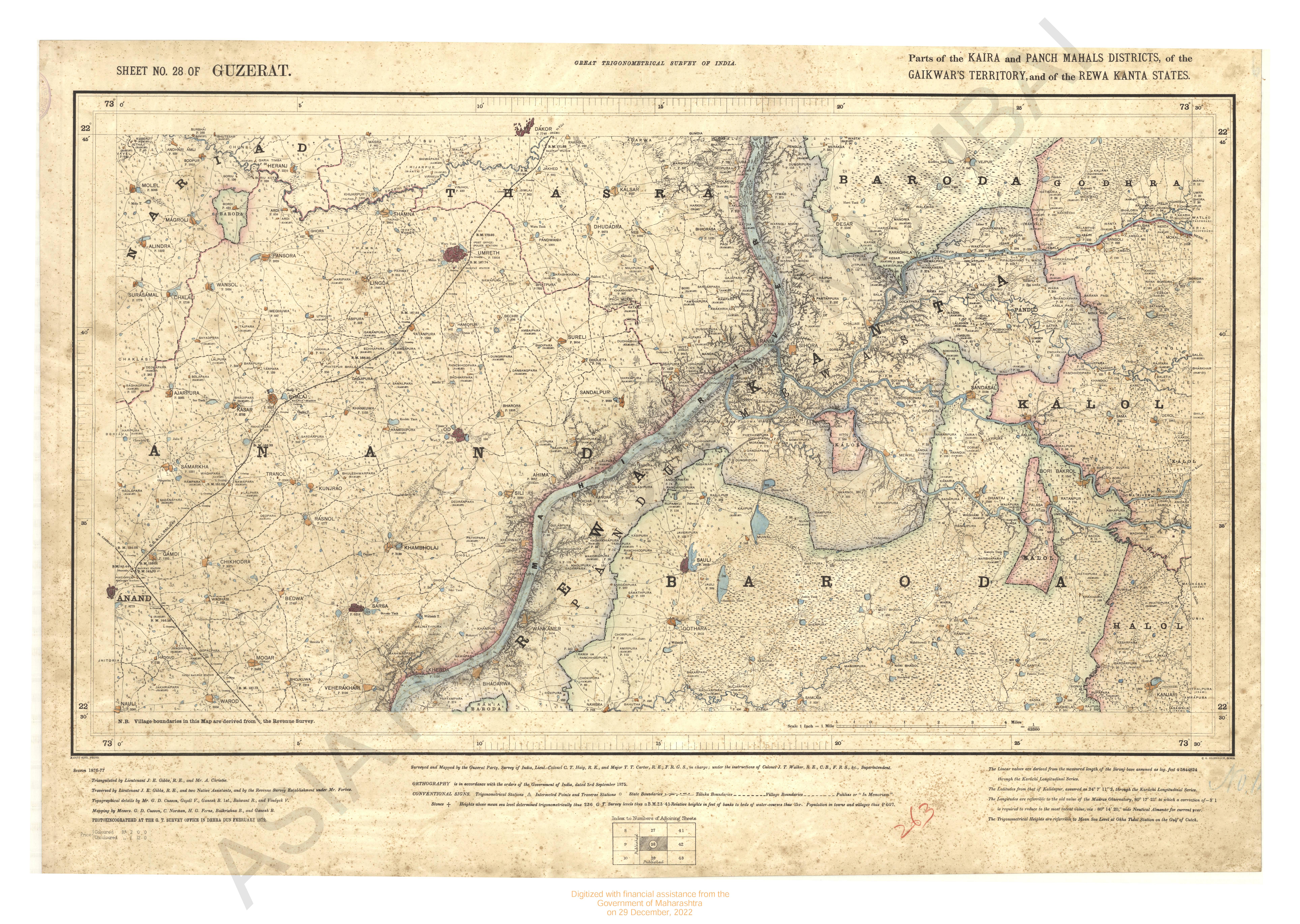
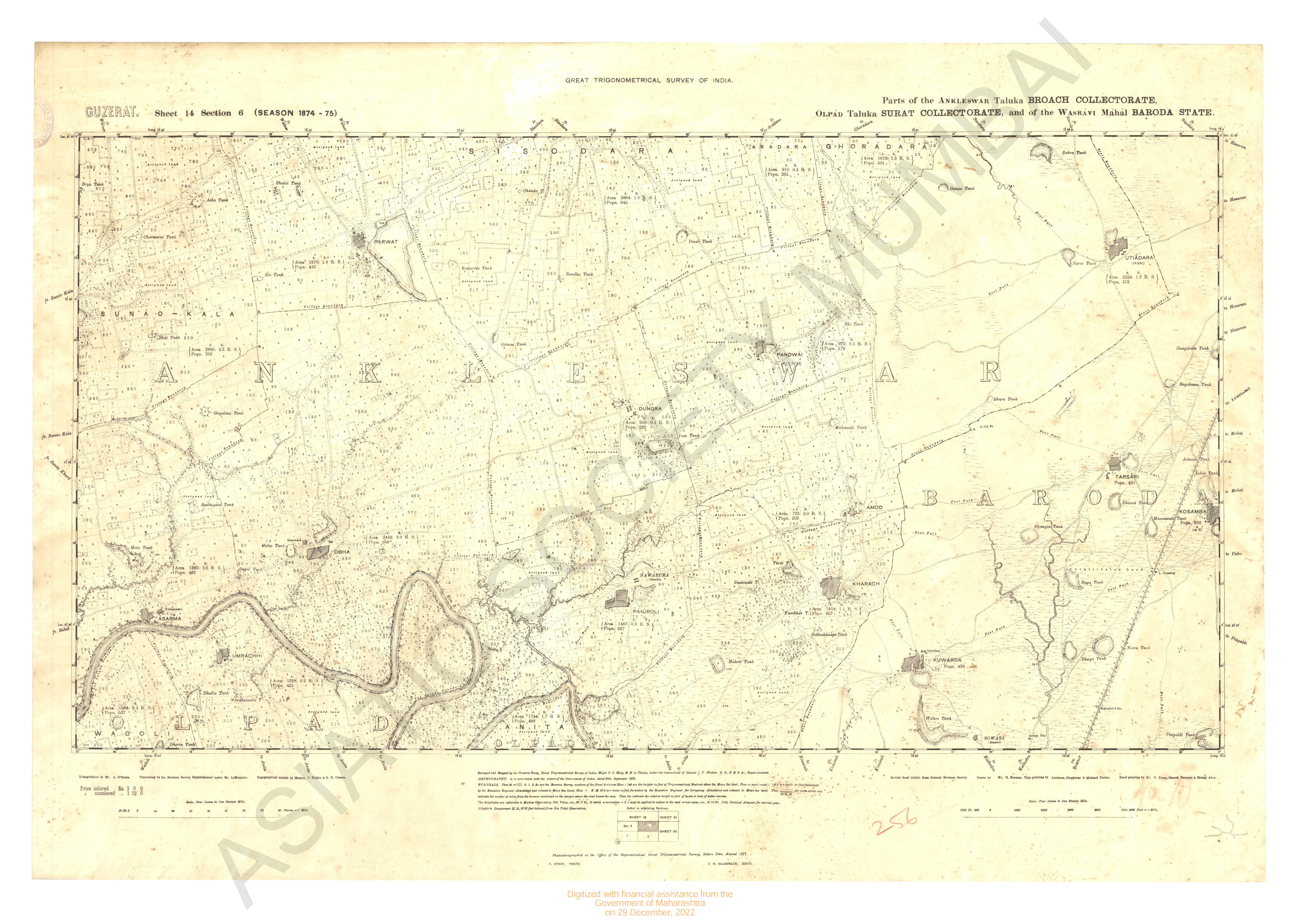
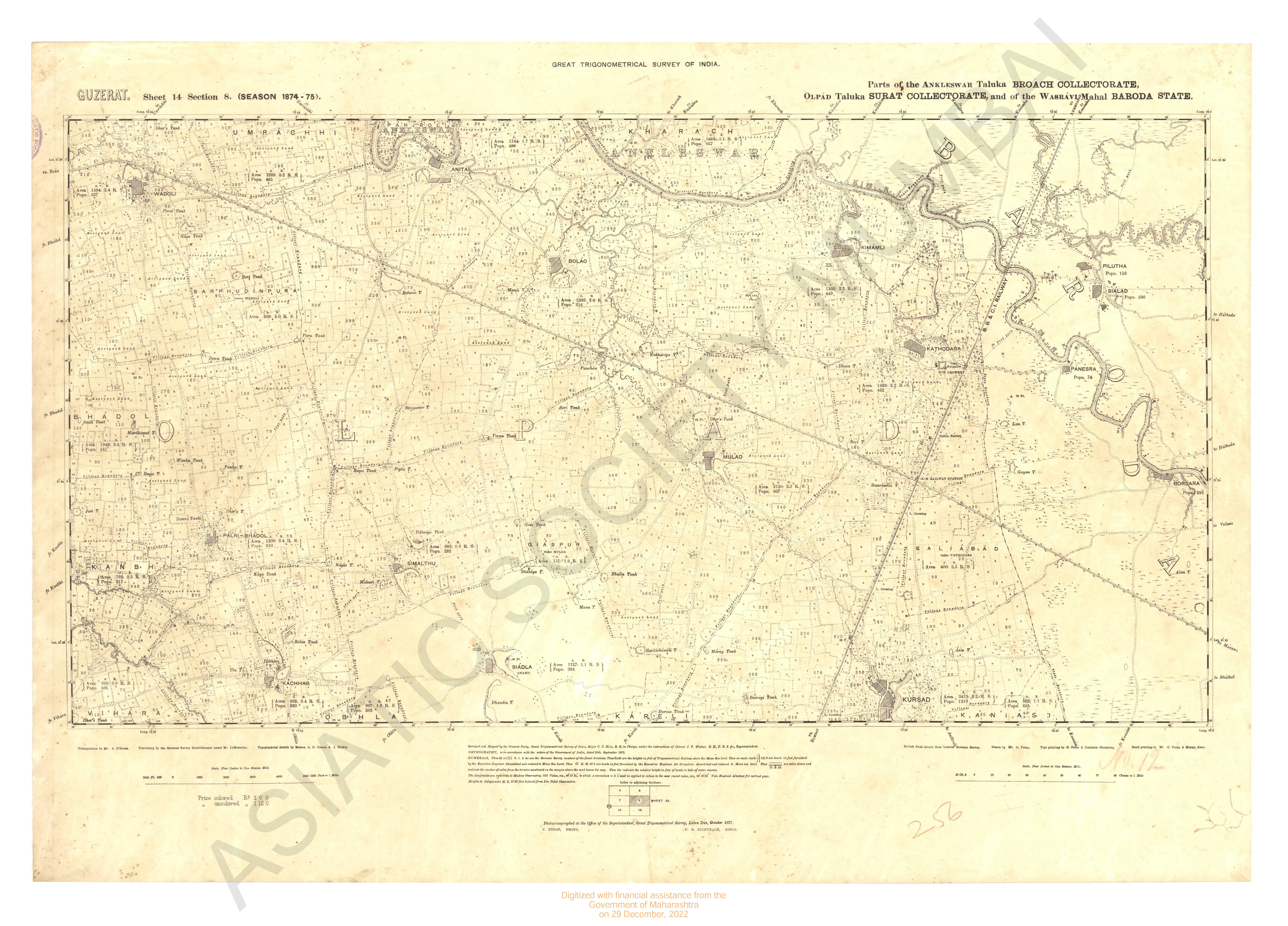
Gujarat No.40 : Parts of the Panch Mahals Collectorate, and of the Rewa Kantha States
| Resource Type | : | Map |
| Author | : | Hennessey, J.B.N. Walker, J.T. |
| Year/Date of Publication | : | 1885 |
| Subject | : | Topographic Map |
| Publisher | : | Dehradun Office of Trignometrical Branch. Survey Of India 1885 |
| Place of Publication | : | Dehradun |
| Language | : | English |
| Notes/Description | : | The Linear Values are Derived From the Measured length of the Sironj Base, Assumed as log. feet 4.5844824, through the Karachi Longitudinal Series. The Heights are Referrible to Mean Sea Level at Okha Tidal Station on the Gulf of Cutch. The Latitudes from that Kalianpur, Assumed as 24°7'11.2, through the Karachi Longitudinal Series. The Longitudes are referrible to Madras Observatory, taken as 80° 17' 21 to which a correction of - 2' 30 must be applied to reduce to the most recent value, 80° 14' 51 |
| Pages/Folios | : | 1 |
| Identifier | : | MAP_0271 |
| Digitization Sponsor | : | Government of Maharashtra |
Other Similar Items
-
- 60 Views
- Gujarat Sheet 40 Section 3 : Part of the Godhra Taluka ...
- Year: 1885
- Author: Smith, T.M.; Hodgson, G.B.
-
- 27 Views
- Gujarat Sheet 40 Section 2 : Part of the Godhra Taluka ...
- Year: 1885
- Author: Hodgson, G.B.
-
- 21 Views
- Gujarat Sheet 40 Section 1 : Part of the Godhra Taluka ...
- Year: 1885
- Author: Bhao G.
-
- 2 Views
-
- 2 Views
-
- 2 Views
-
- 5 Views
-
- 2 Views
-
- 2 Views
-
- 2 Views
-
- 3 Views

-
- 42 Views