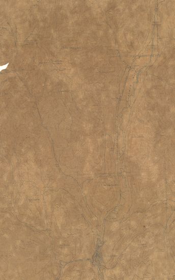
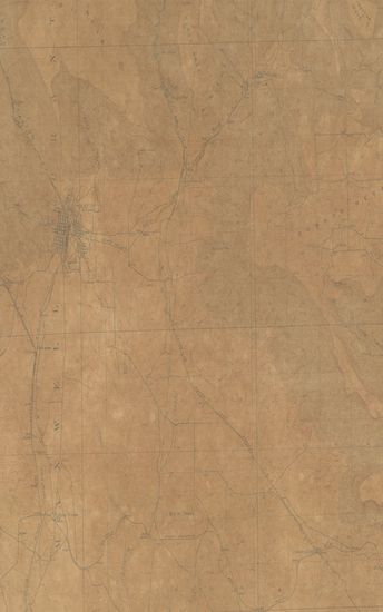
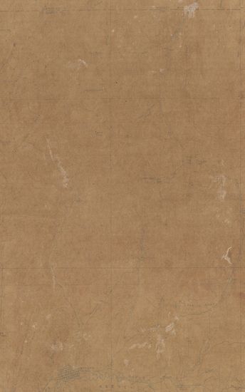
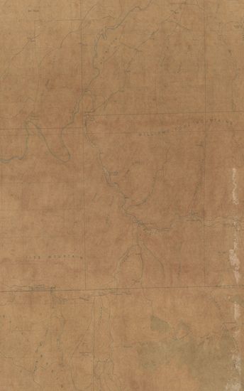
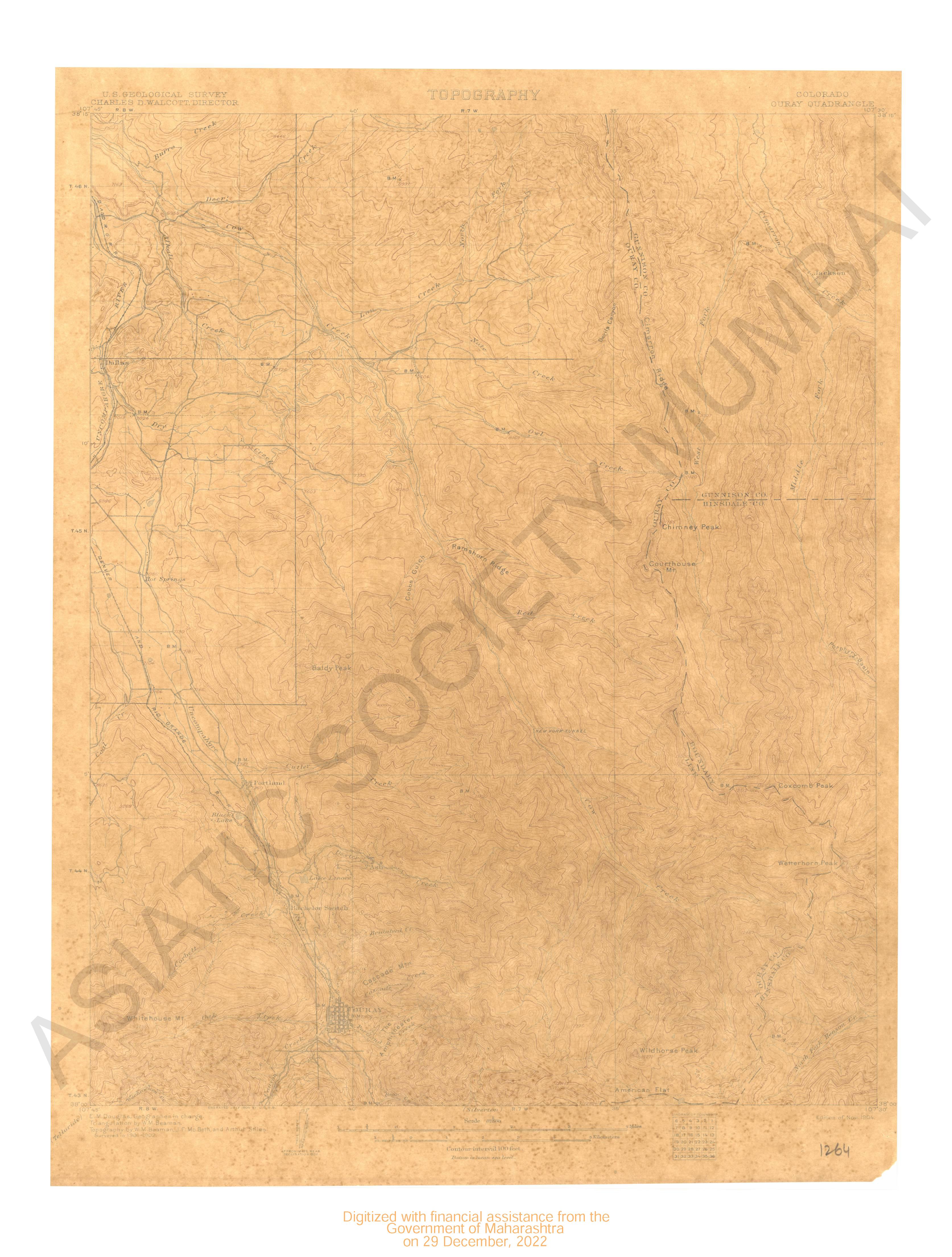
Colorado Walsenburg Quadrangle Surveyed in 1894
| Resource Type | : | Map |
| Year/Date of Publication | : | 1897 |
| Subject | : | Topographic Map |
| Publisher | : | Washington US Geological Survey 1897 |
| Place of Publication | : | Washington |
| Language | : | English |
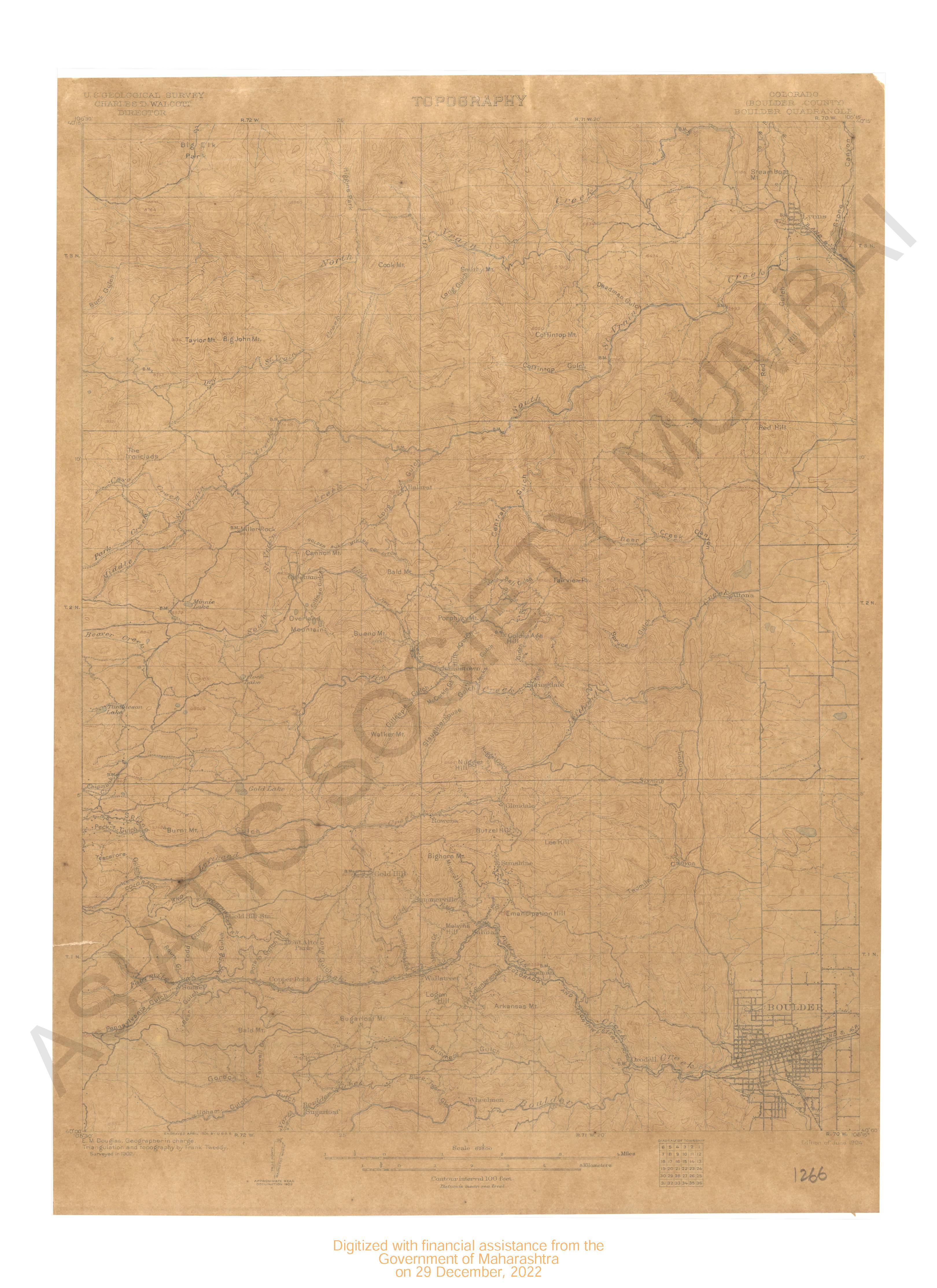
| Notes/Description | : | Relief (printed in brown), Figures (showing heights above mean sea level instrumentally determined), Contours (showing heights above sea horizontal form, and steepness of slope of the surface), Depression contours, Drainage (printed in blue), Rivers, Creeks, Intermittent streams, Lakes and ponds, Temporary ponds, Culture (printed in black), Towns and villages, Roads and buildings, Railroads, County boundary lines, Triangulation stations. Names of adjoining published sheets printed on the Margin Datum is mean sea level |
| Pages/Folios | : | 1 |
| Identifier | : | MAP_0768 |
| Digitization Sponsor | : | Government of Maharashtra |
Other Similar Items
-
- 61 Views
-
- 2 Views
-
- 2 Views
-
- 226 Views
-
- 106 Views
-
- 277 Views

-
- 78 Views
- Colorado Meeker Quadrangle Surveyed in 1911-12
- Year: 1915
- Author: Marshall, R.B.
-
- 68 Views
-
- 2 Views
-
- 2 Views
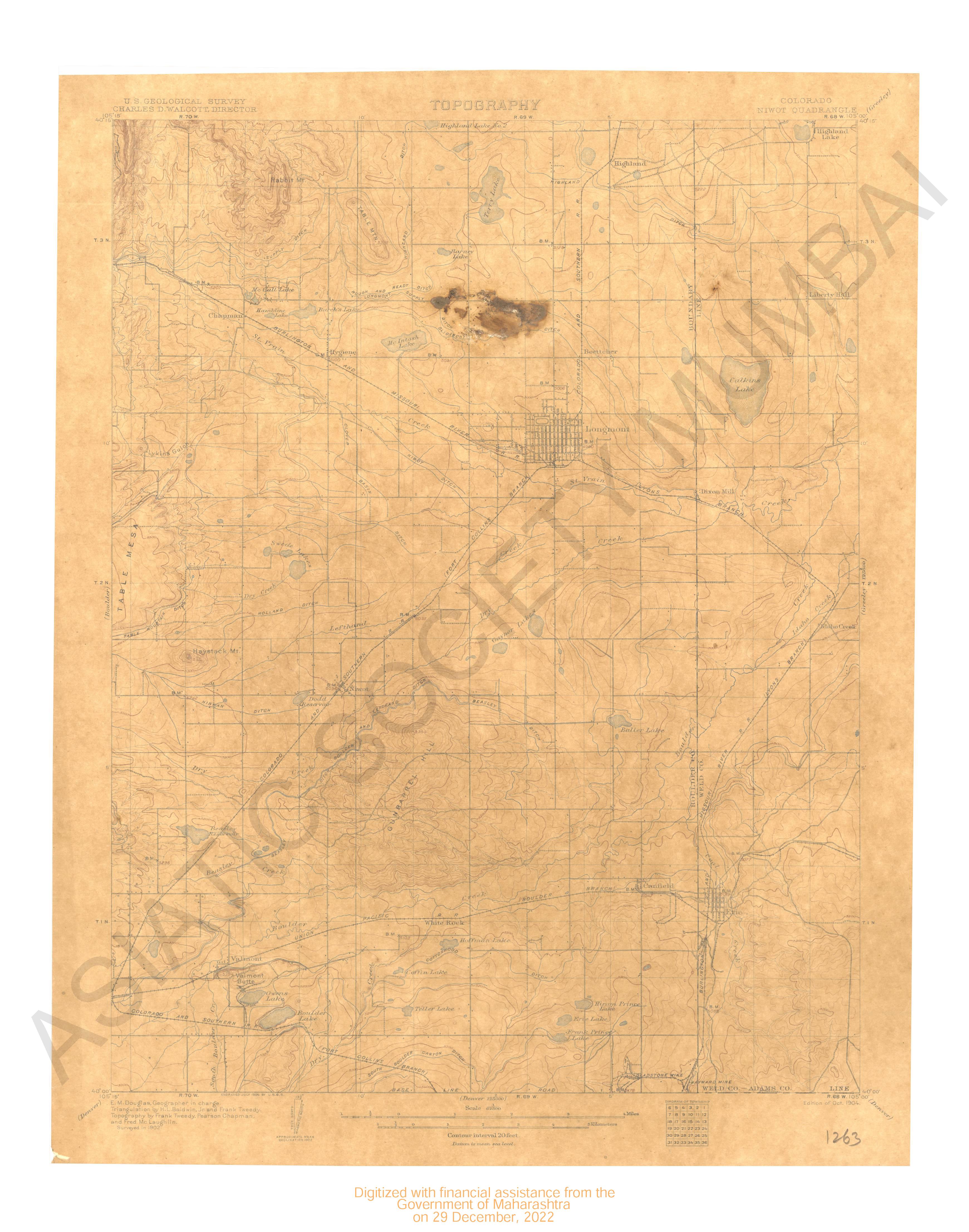
- Colorado Niwot quadrangle surveyed in 1902.
- Year: 1904
-
- 2 Views
-
- 208 Views
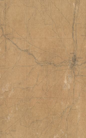
- Colorado Pueblo Sheet Surveyed in 1894
- Year: 1897