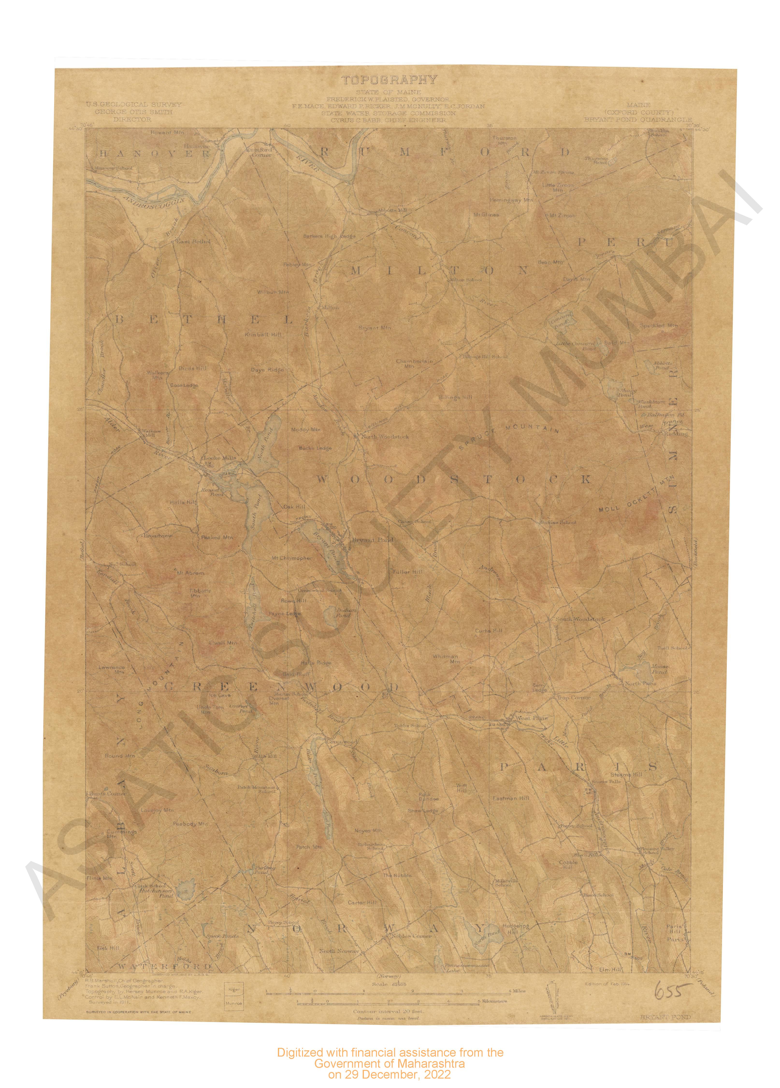
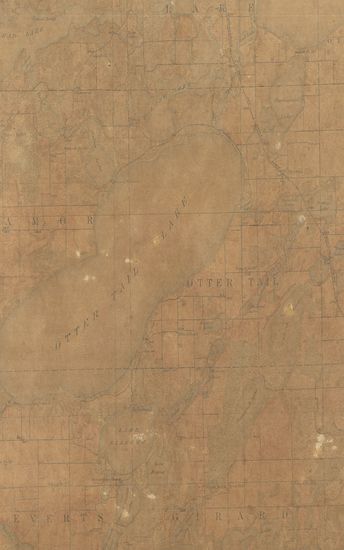
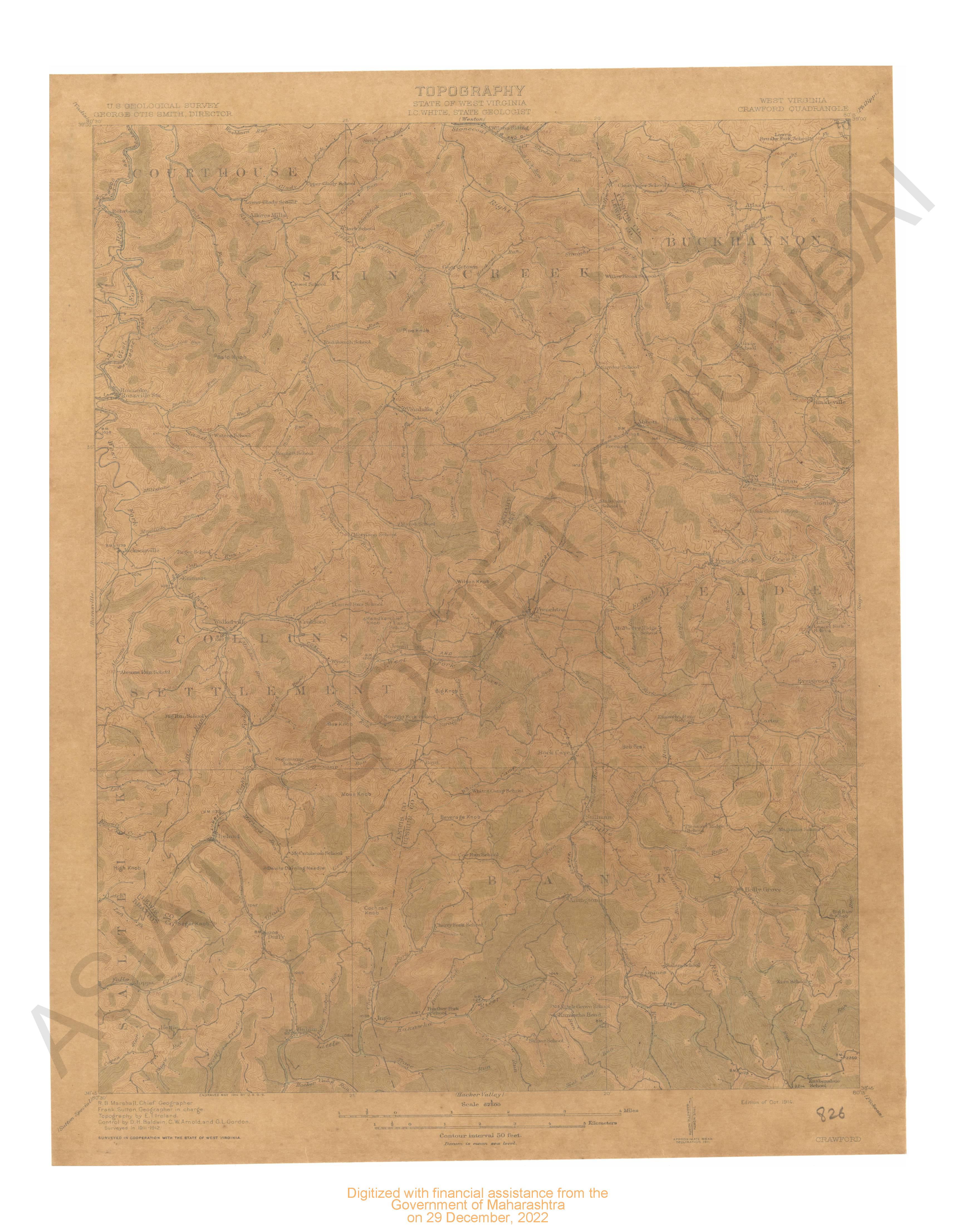
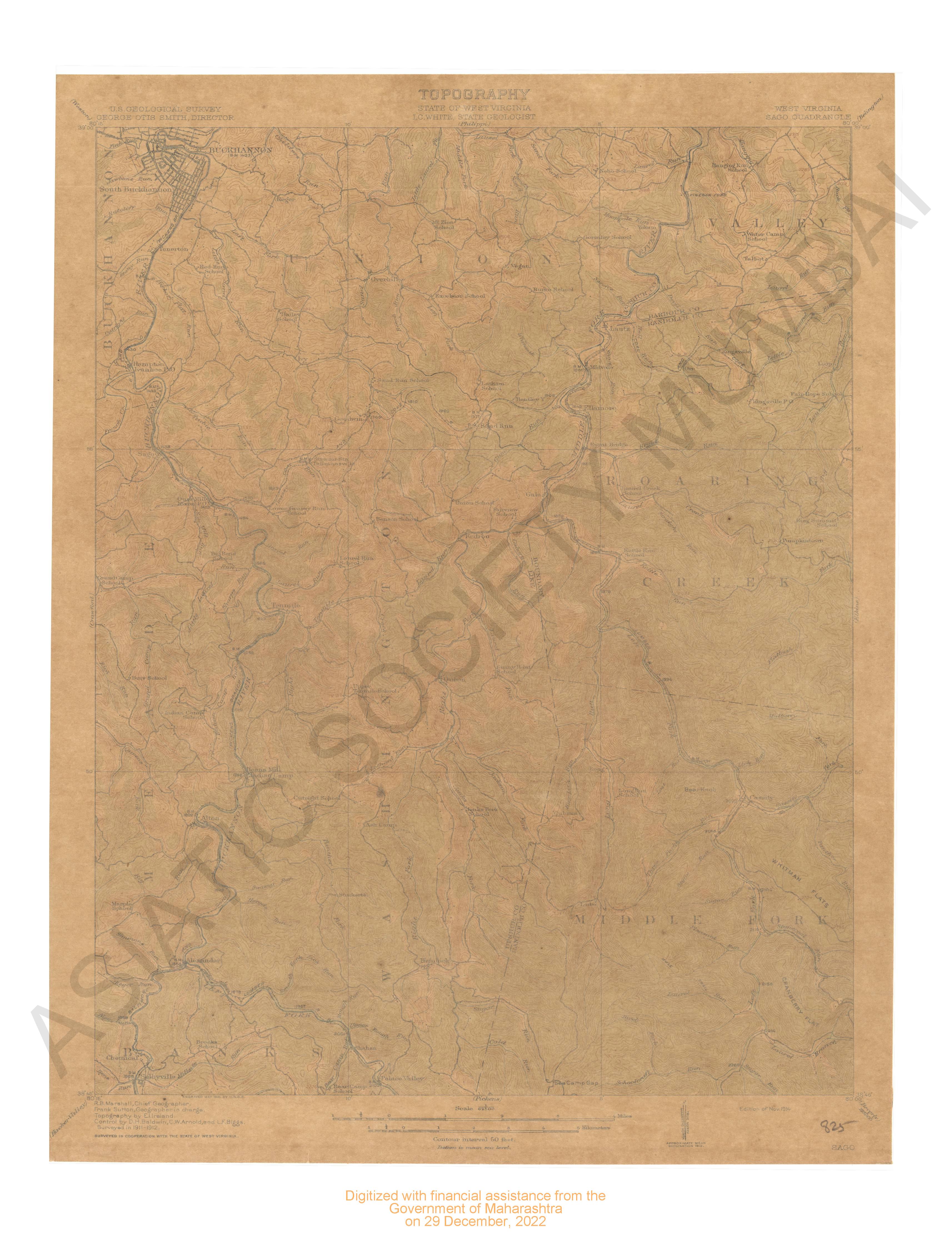
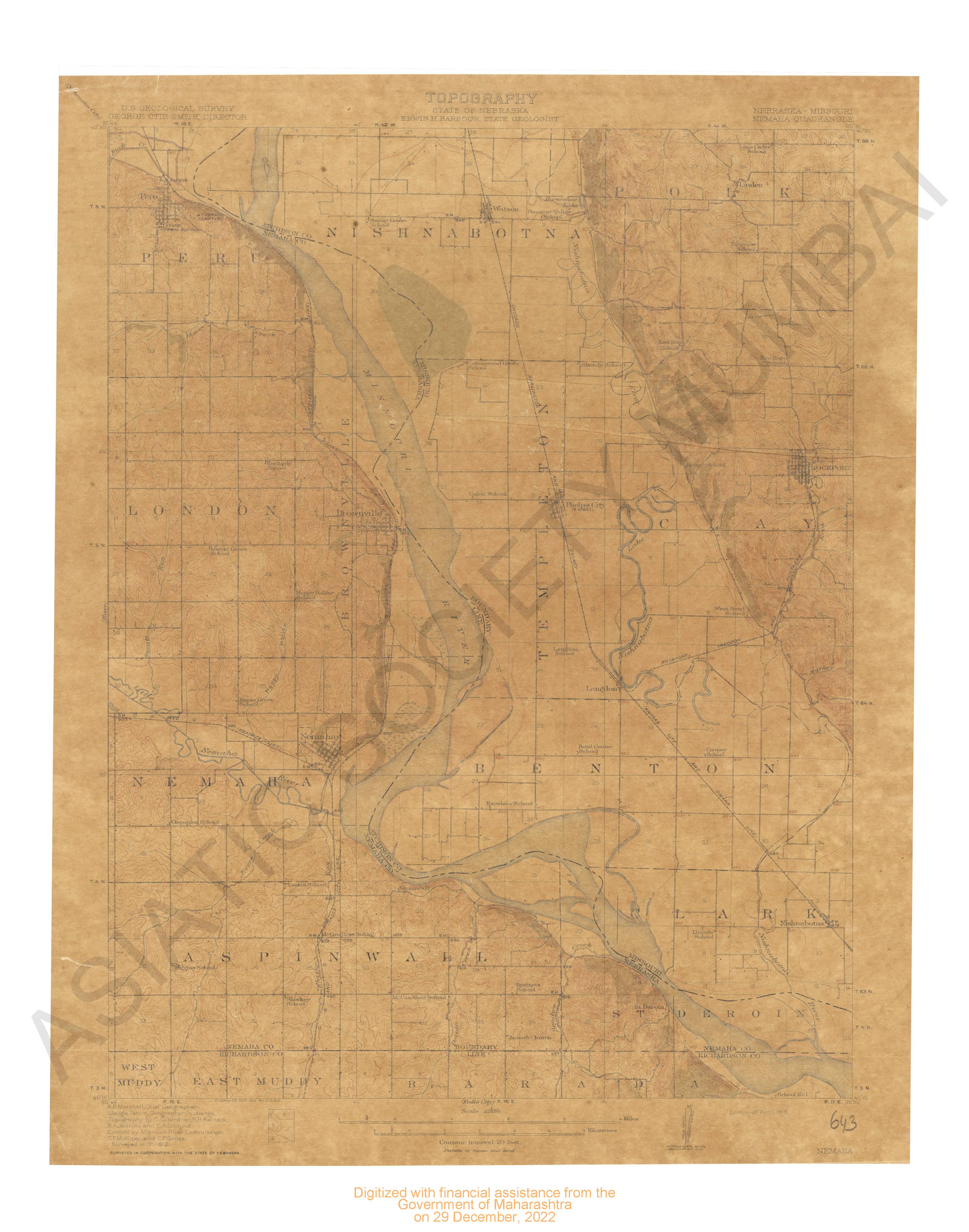
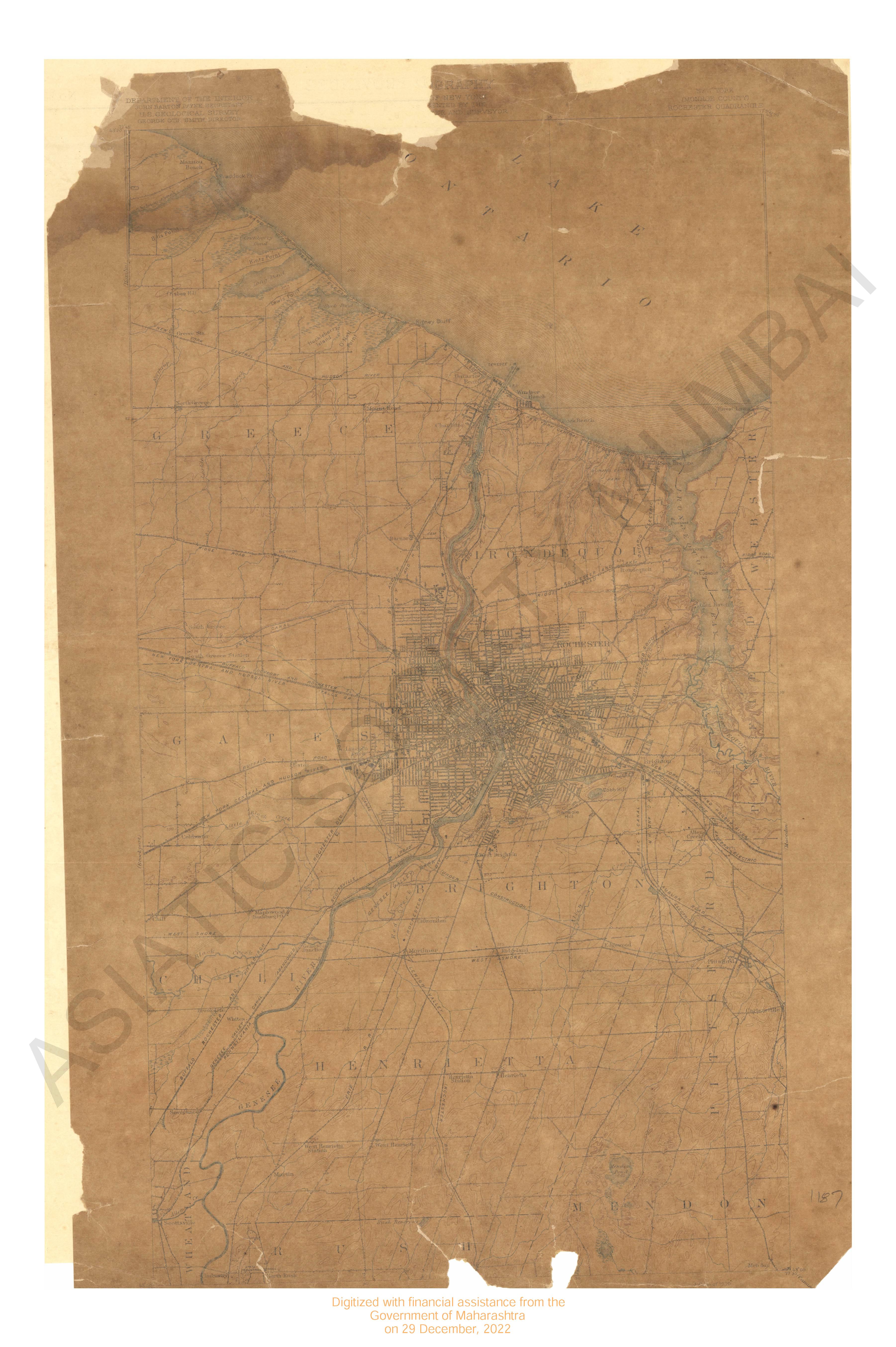
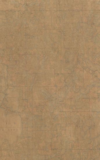
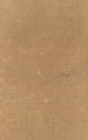
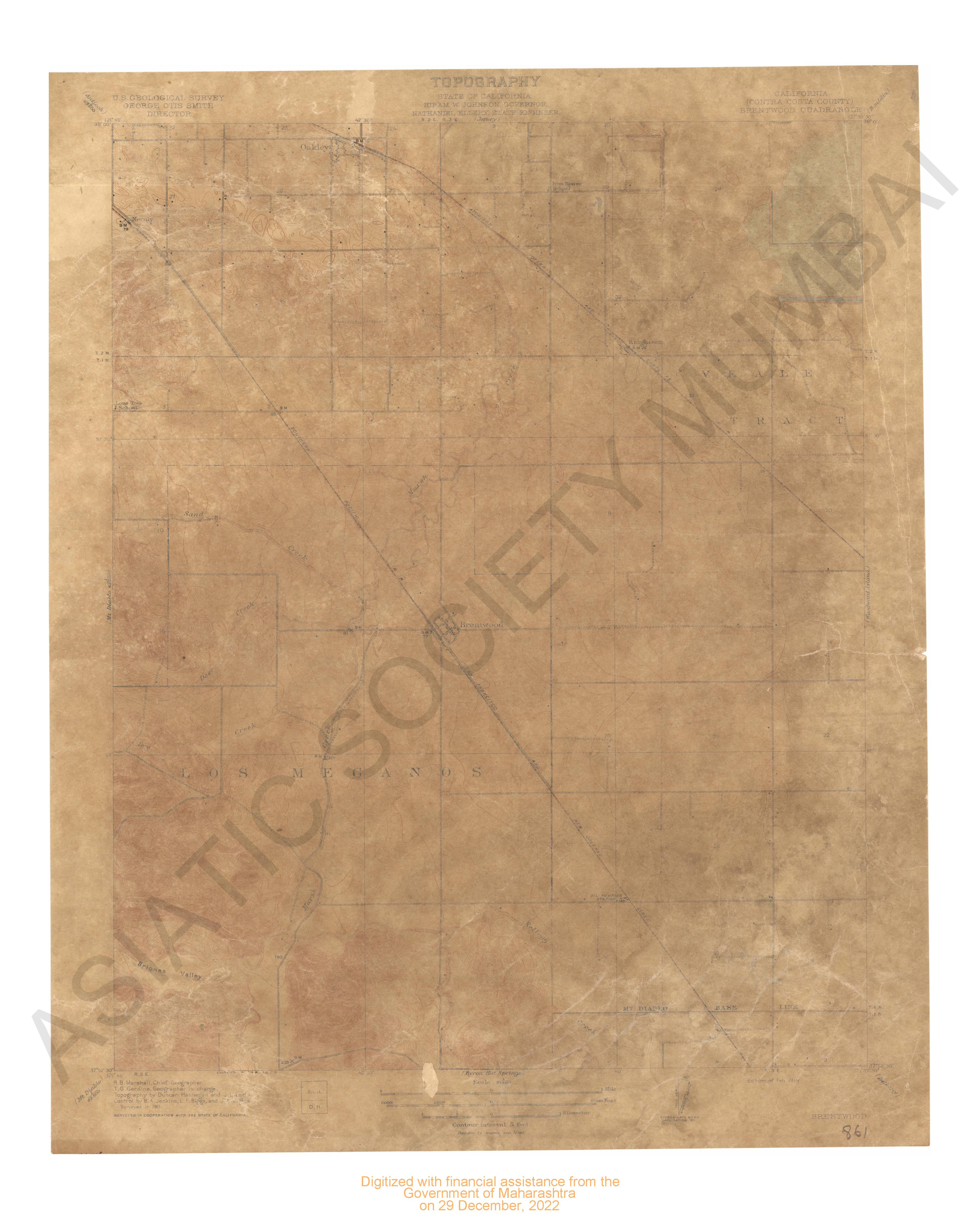
Minnesota (Otter Tail County) Battle Lake Quadrangle Surveyed in 1911-12 in Cooperation with the State of Minnesota
| Resource Type | : | Map |
| Year/Date of Publication | : | 1914 |
| Subject | : | Topographic Map |
| Publisher | : | Washington US Geological Survey 1914 |
| Place of Publication | : | Washington |
| Language | : | English |
| Notes/Description | : | Datum is mean sea level. Readjustment of levels indicates that elevations on this Map are one foot too high Approximate Mean Declination, 1912 |
| Pages/Folios | : | 1 |
| Identifier | : | MAP_0773 |
| Digitization Sponsor | : | Government of Maharashtra |
Other Similar Items
-
- 12 Views
-
- 103 Views
-
- 14 Views
-
- 14 Views
-
- 10 Views
-
- 14 Views
-
- 83 Views
-
- 64 Views

-
- 178 Views
-
- 5 Views

-
- 2 Views
-
- 2 Views