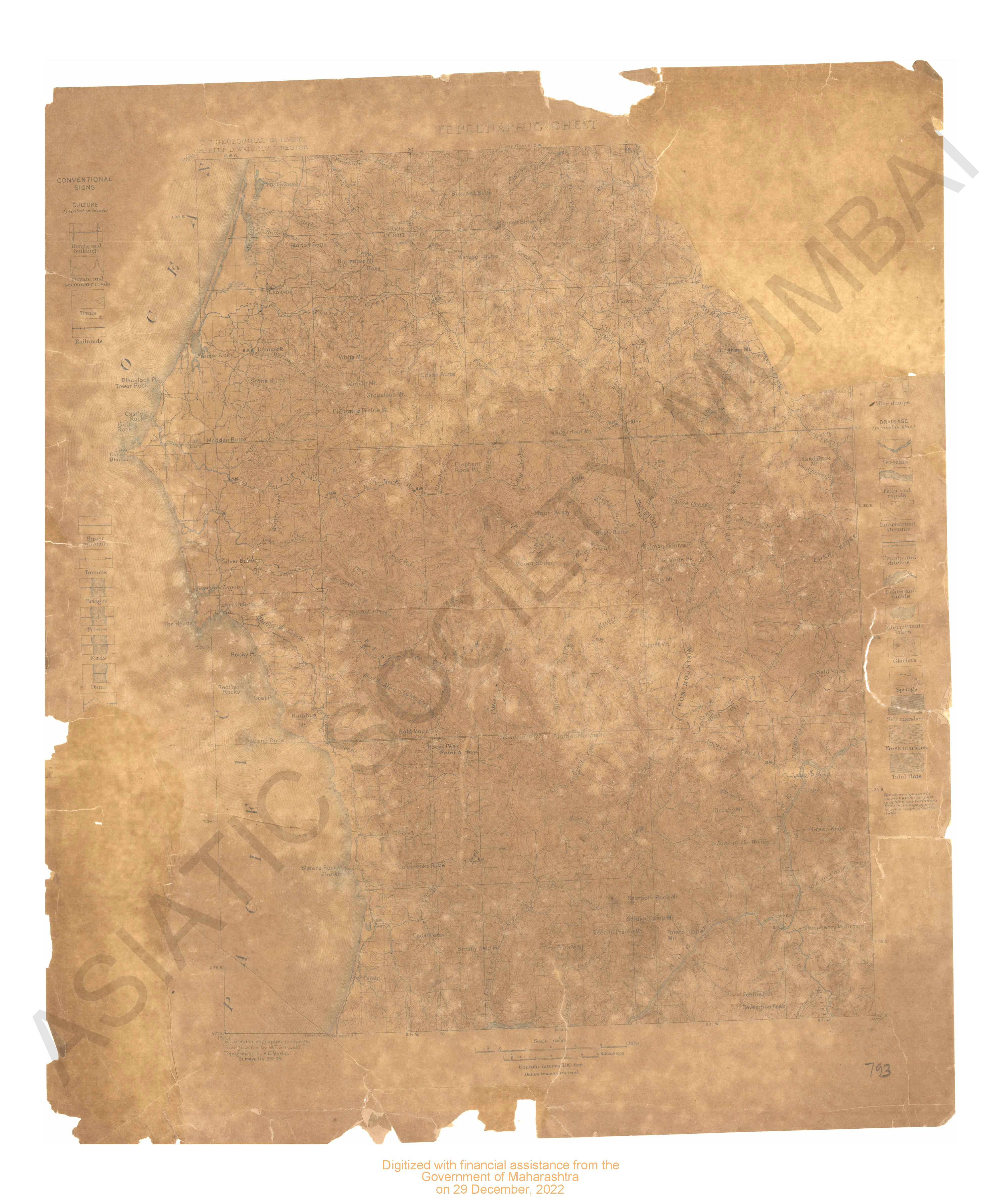
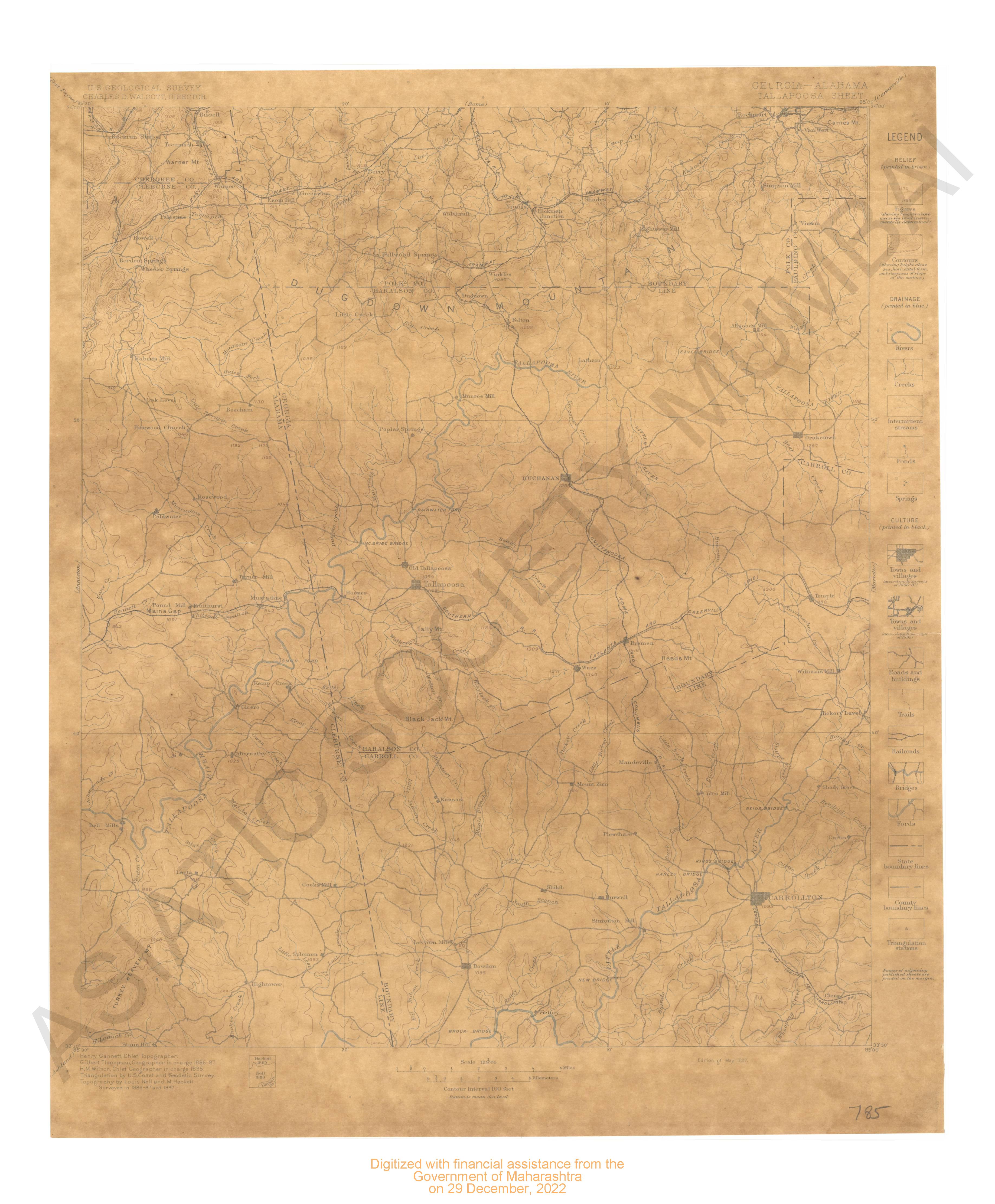
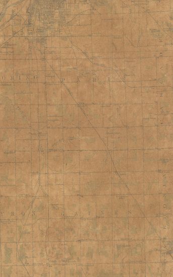
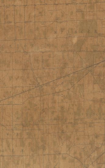
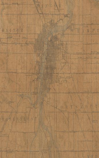
Michigan (Iron Co.) Crystal Fall Quadrangle Surveyed in 1891 & 1895
| Resource Type | : | Map |
| Year/Date of Publication | : | 1899 |
| Subject | : | Topographic Map |
| Publisher | : | Washington US Geological Survey 1899 |
| Place of Publication | : | Washington |
| Language | : | English |
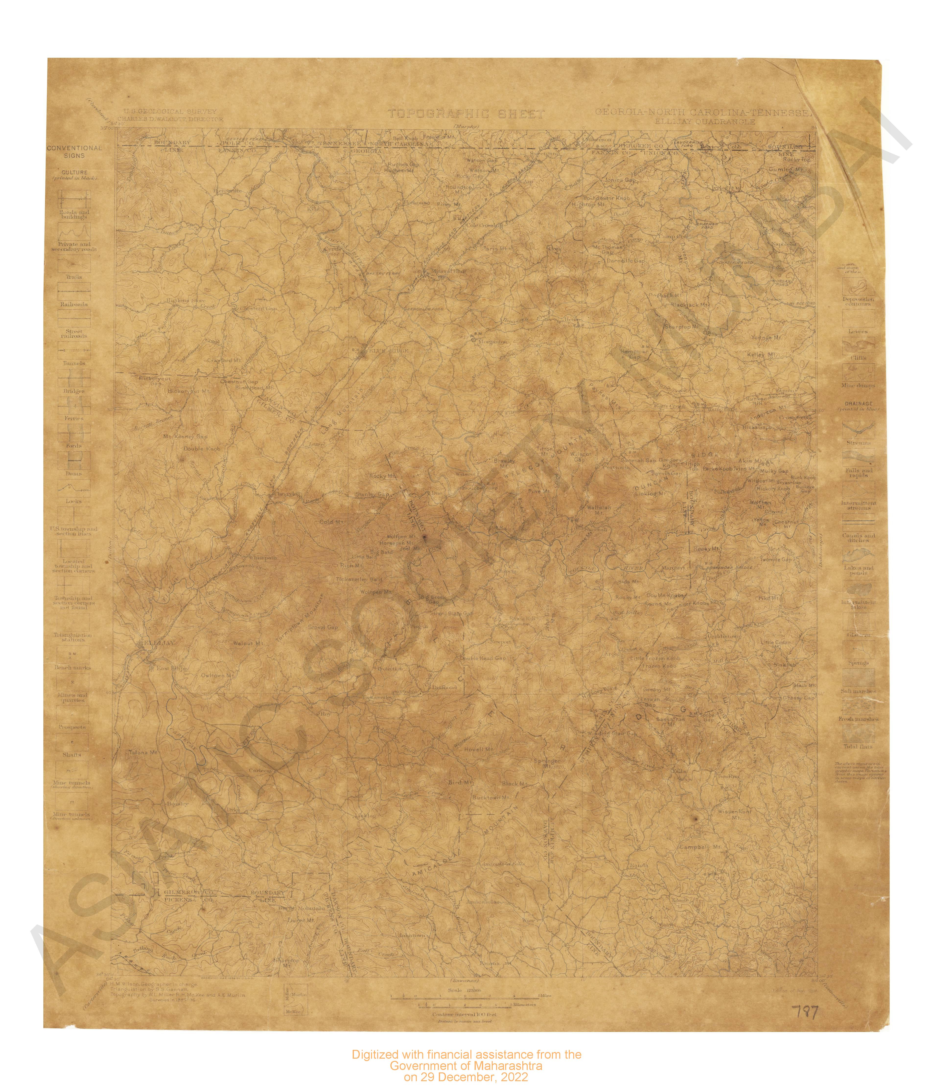
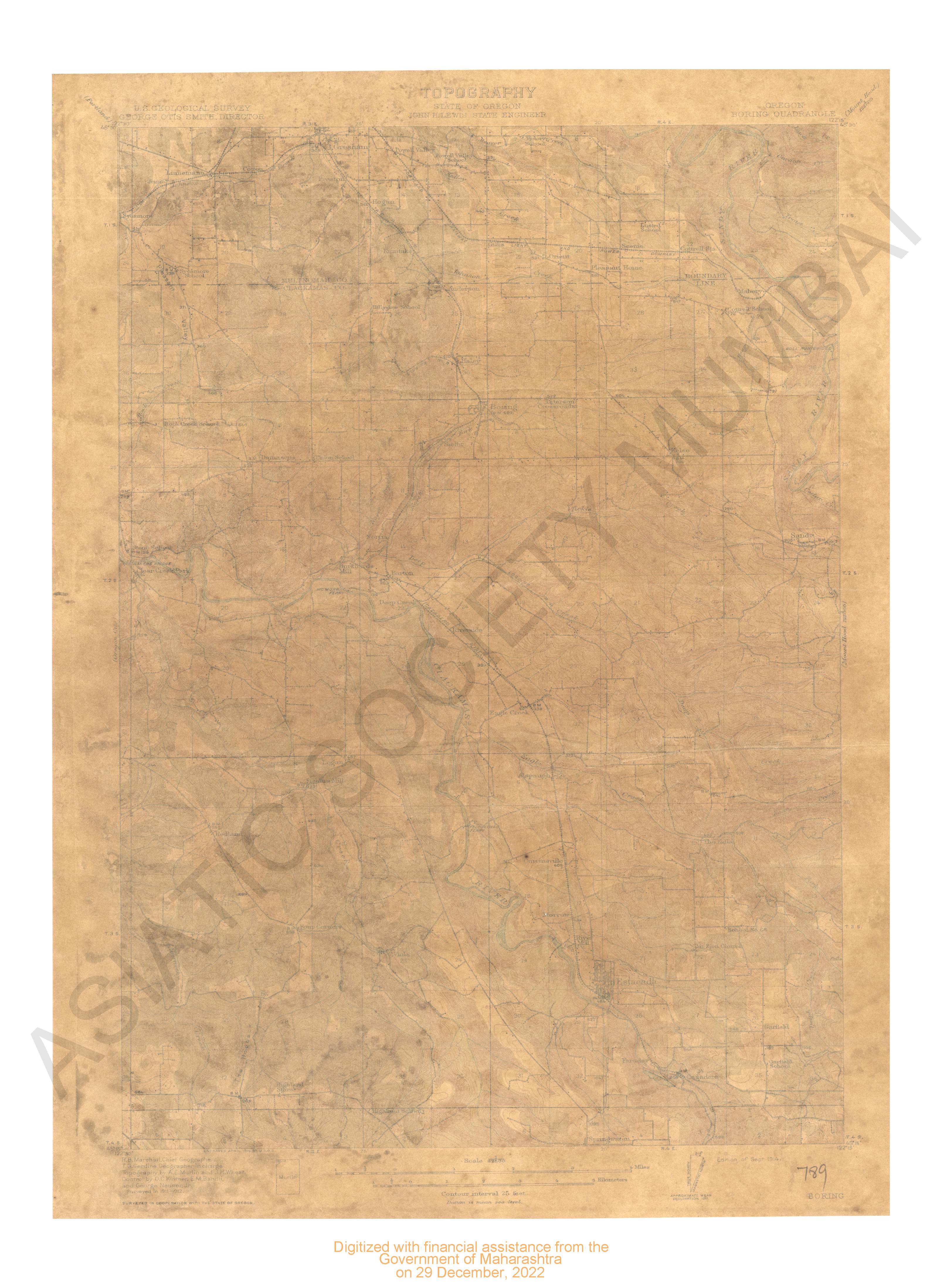
| Notes/Description | : | Datum is Mean Sea Level Relief(Printed in brown), Figures(Showing heights above mean sea level instrumentally determined), Contours(showing heights above sea,horizontal form, and steepness of slope, of the surface), Depression contours, Levees, Cliffs, Mine dumps, Drainage(printed in blue), Streams, Falls and Rapids, Intermittent streams, Canals and ditches, Lakes and ponds, Intermittent Lakes, Glaciers, Springs, Salt Marshes, Fresh marshes, Tidal Flats, Roads and Buildings, Private and secondary roads, Trails, Railroads, Street railroads, Tunnels, Bridges, Ferries, Fords, Dams, Locks, U.S Township and section lines, Located township and section corners, Township and section corners not found, Triangulation stations, Bench marks, Mines and quarries, prospects, Shafts, Mine tunnels(showing direction), Mine Tunnels(direction unknown) |
| Pages/Folios | : | 1 |
| Identifier | : | MAP_0689 |
| Digitization Sponsor | : | Government of Maharashtra |
Other Similar Items
-
- 9 Views
-
- 28 Views
-
- 9 Views
-
- 81 Views
-
- 35 Views
-
- 63 Views
-
- 23 Views
-
- 37 Views
-
- 29 Views
-
- 2 Views
-
- 13 Views
-
- 3 Views