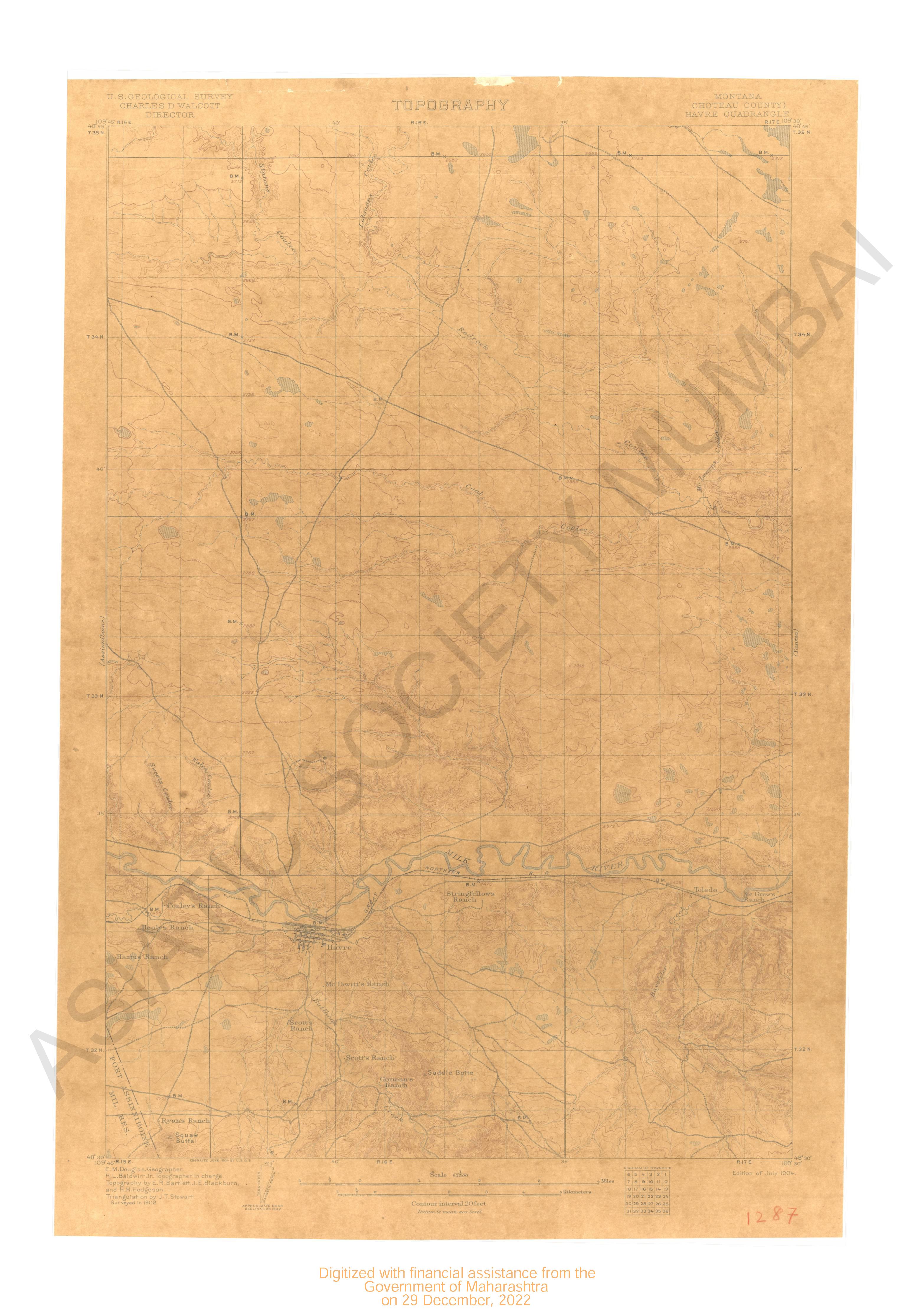
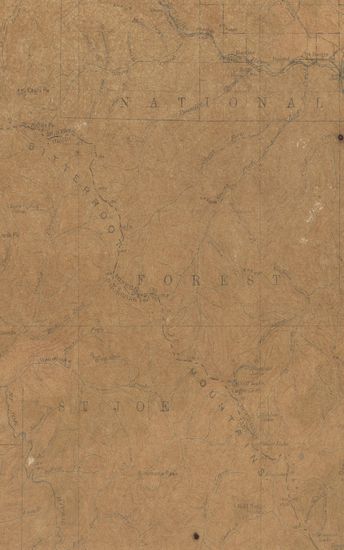
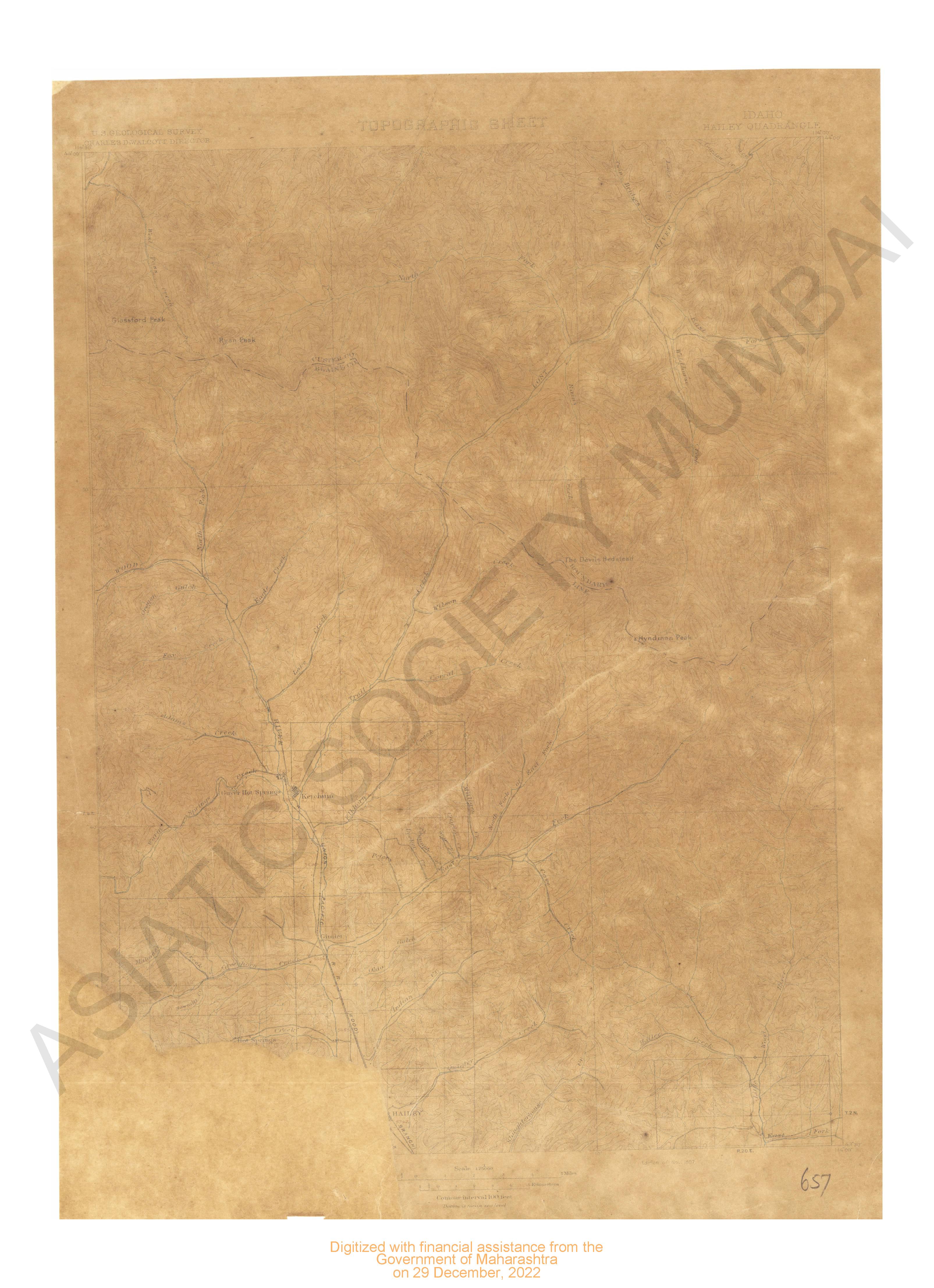
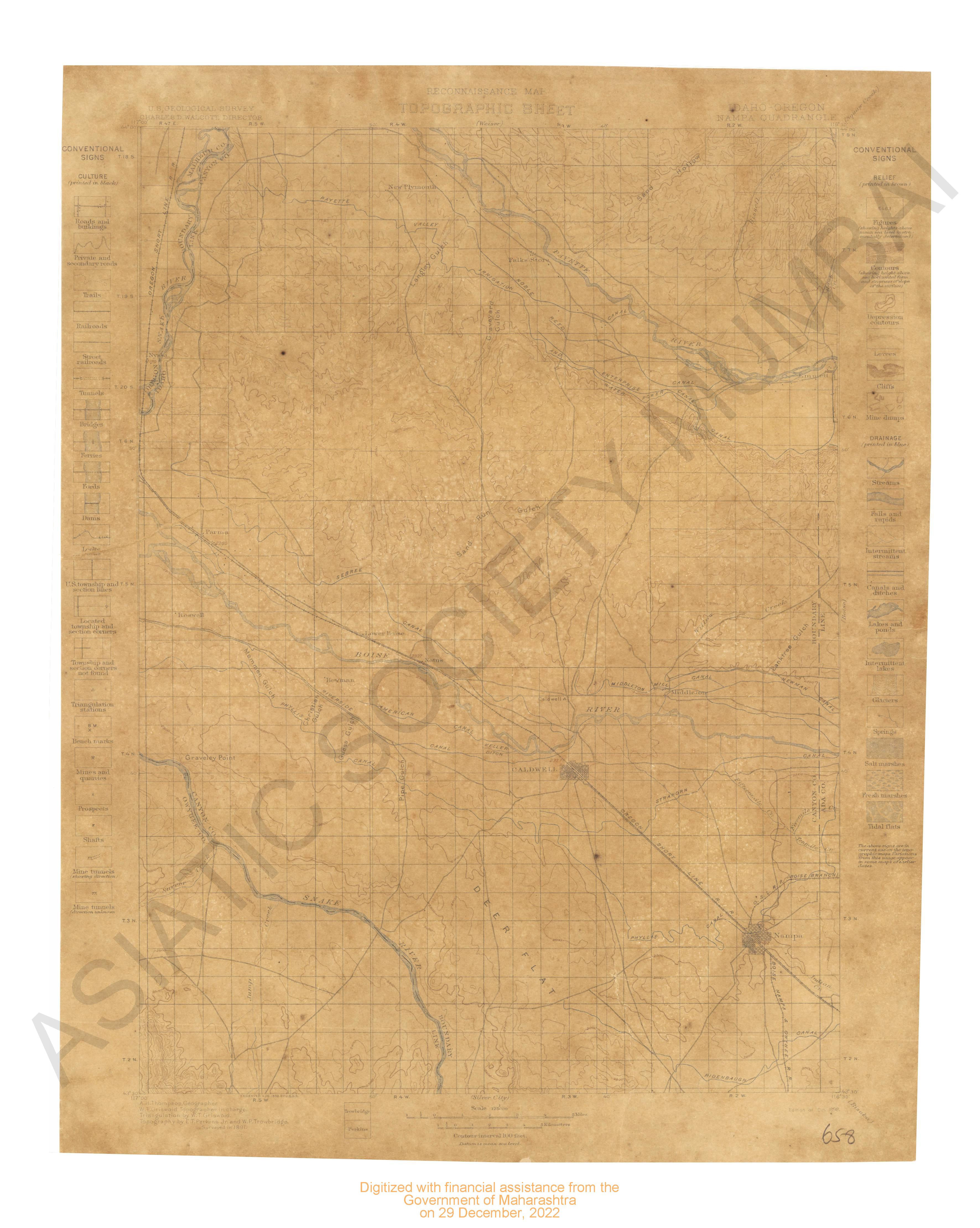
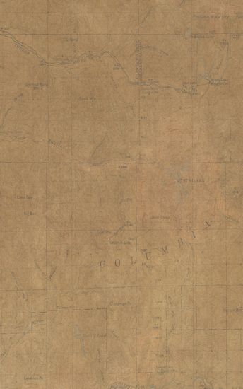
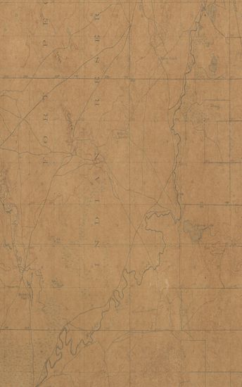
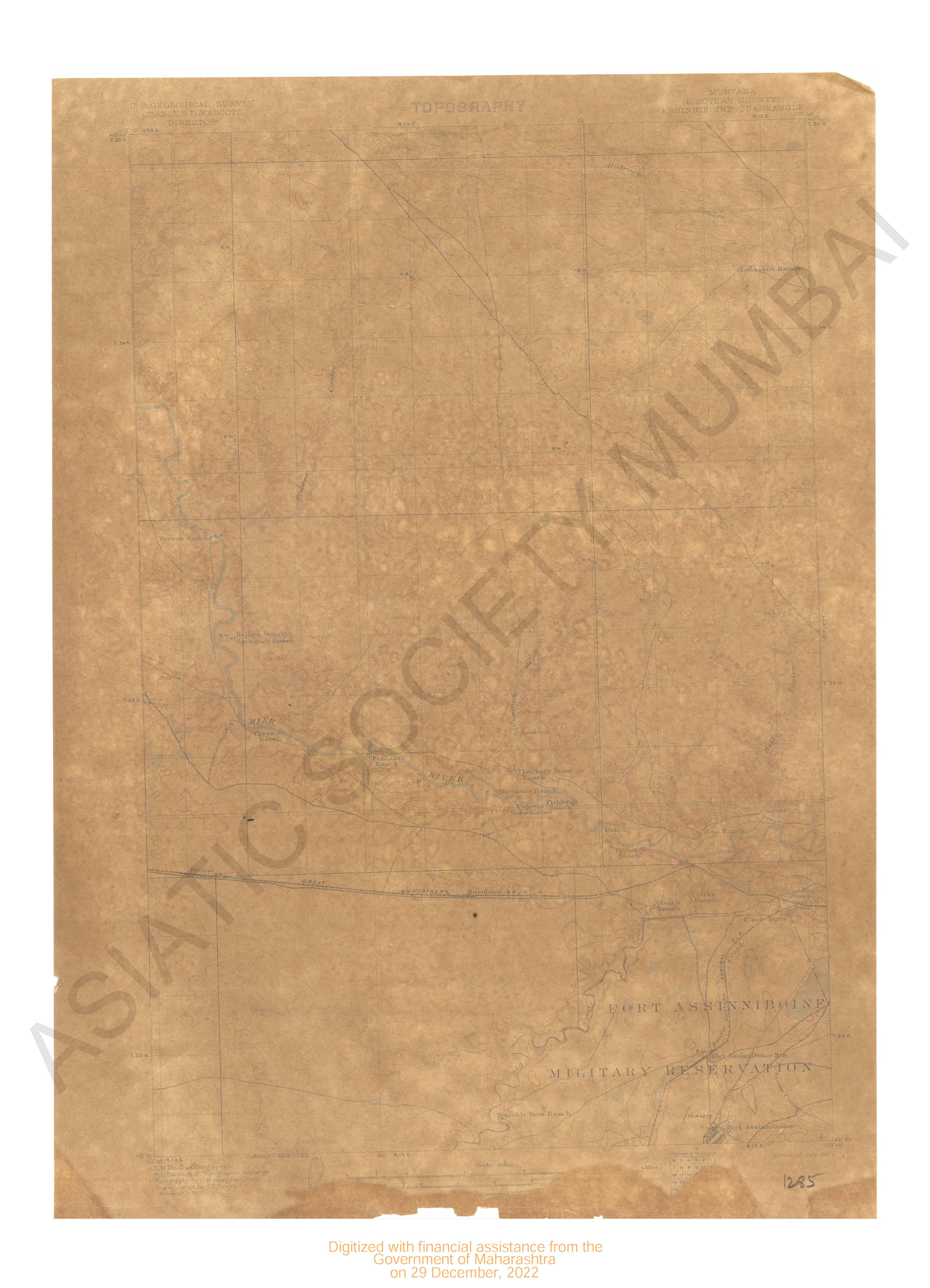
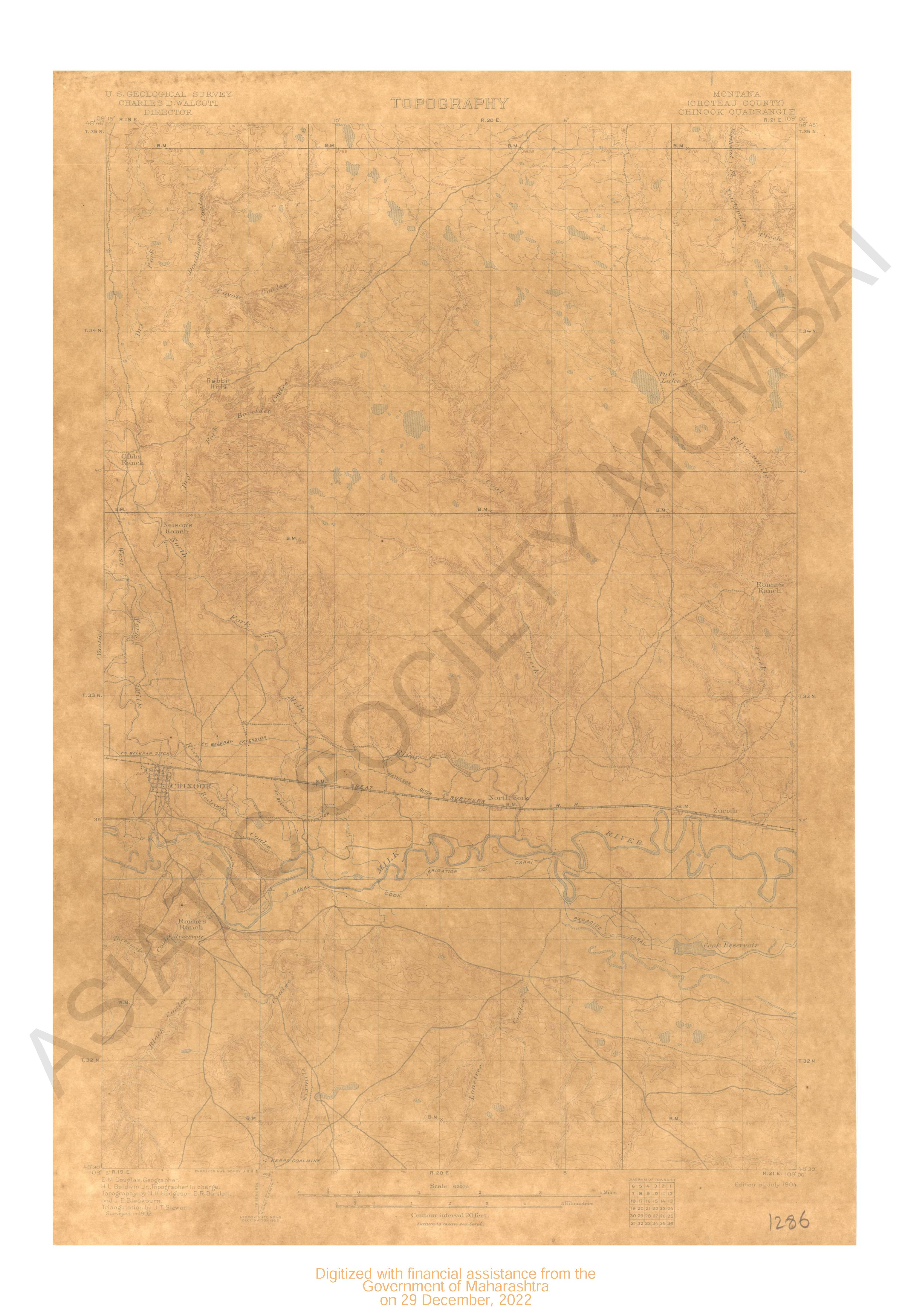
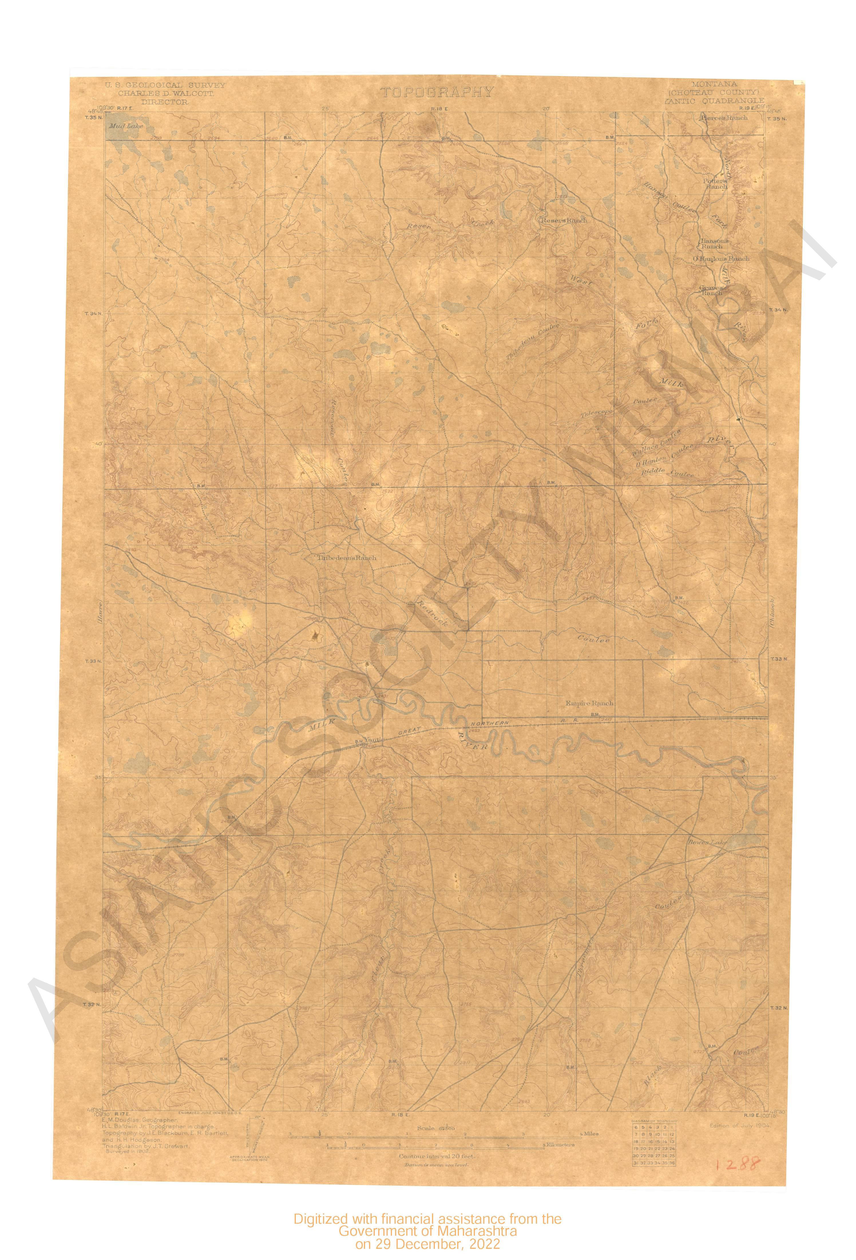
Montana-Idaho St.Regis Quadrangle Surveyed in 1912 and 1914-1916
| Resource Type | : | Map |
| Year/Date of Publication | : | 1919 |
| Subject | : | Topographic Map |
| Publisher | : | Washinton US Geological Survey 1919 |
| Place of Publication | : | Washinton |
| Language | : | English |
| Notes/Description | : | Datum is mean sea level Approximate mean declination, 1916 Diagram of Township |
| Pages/Folios | : | 1 |
| Identifier | : | MAP_0694 |
| Digitization Sponsor | : | Government of Maharashtra |
Other Similar Items
-
- 9 Views
-
- 2 Views
-
- 2 Views
-
- 5 Views

-
- 9 Views
-
- 48 Views
-
- 48 Views
-
- 25 Views
-
- 2 Views
-
- 2 Views
-
- 2 Views
-
- 2 Views