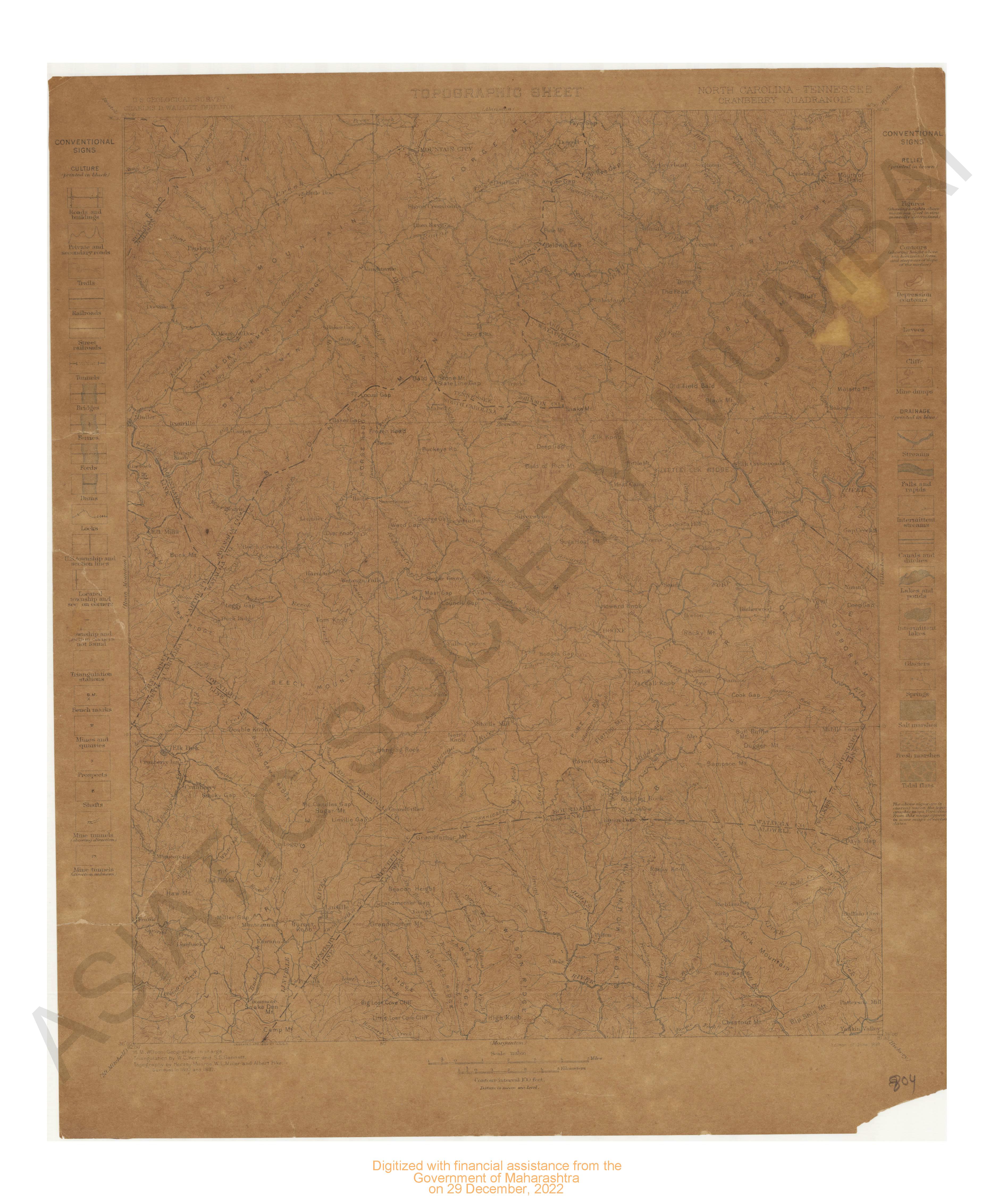
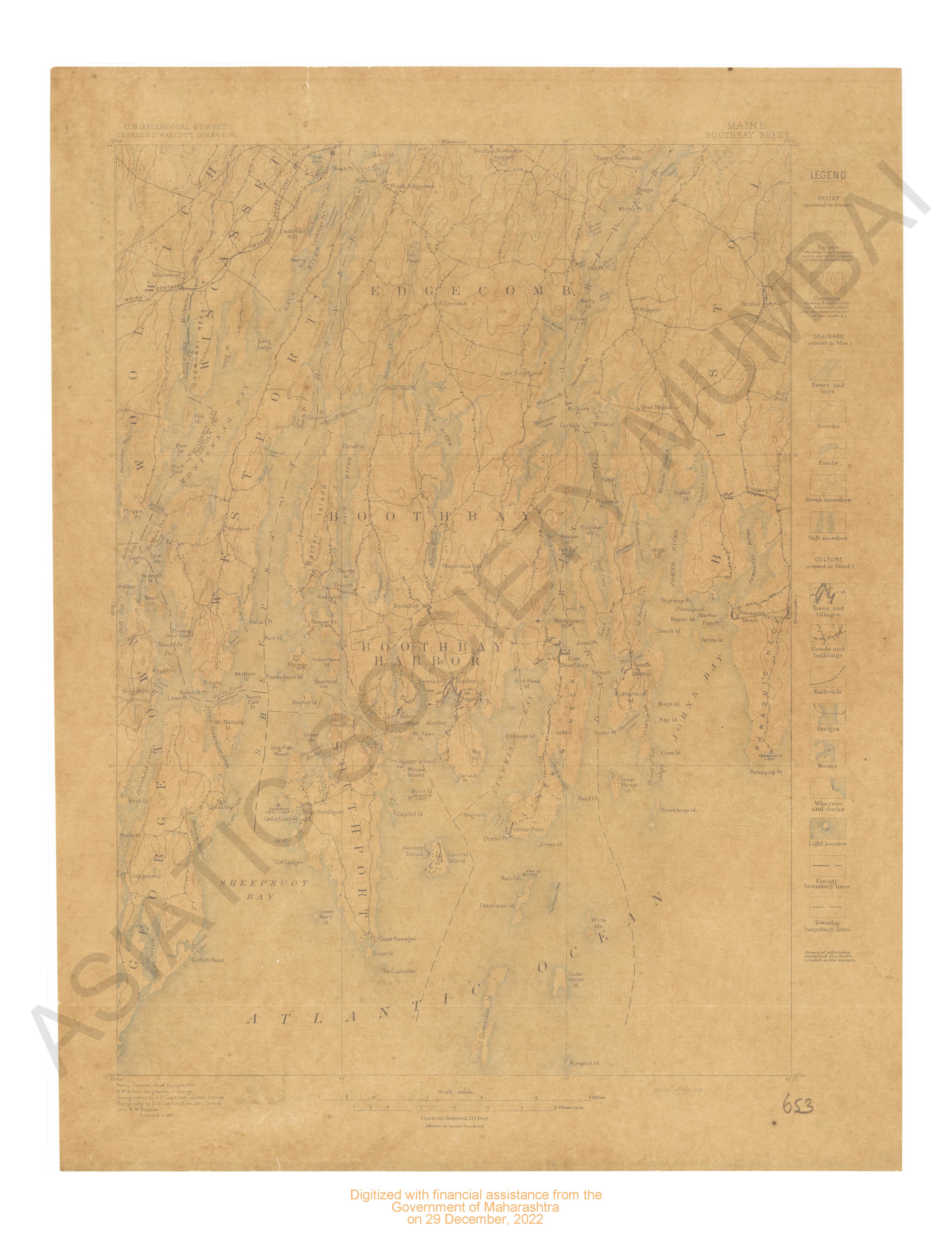
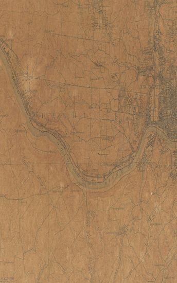
Kentucky London Sheet Surveyed in 1891
| Resource Type | : | Map |
| Year/Date of Publication | : | 1897 |
| Subject | : | Topographic Map |
| Publisher | : | Washington US Geological Survey 1897 |
| Place of Publication | : | Washington |
| Language | : | English |
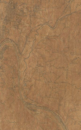
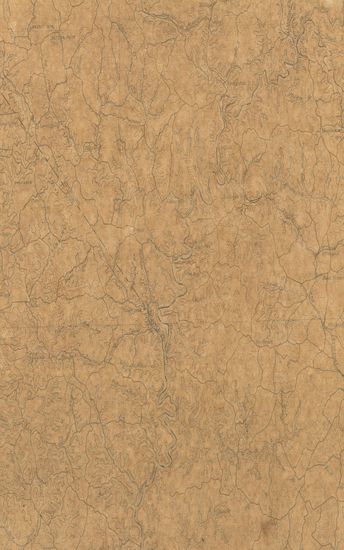
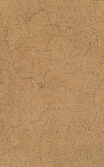
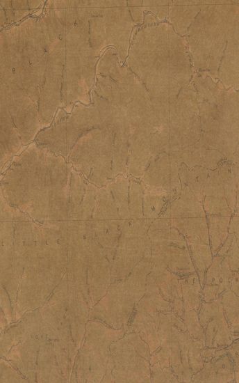
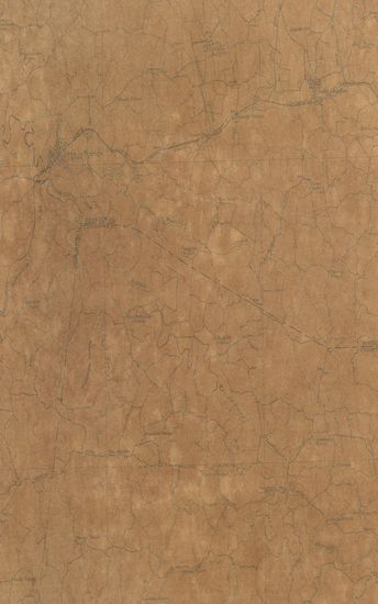
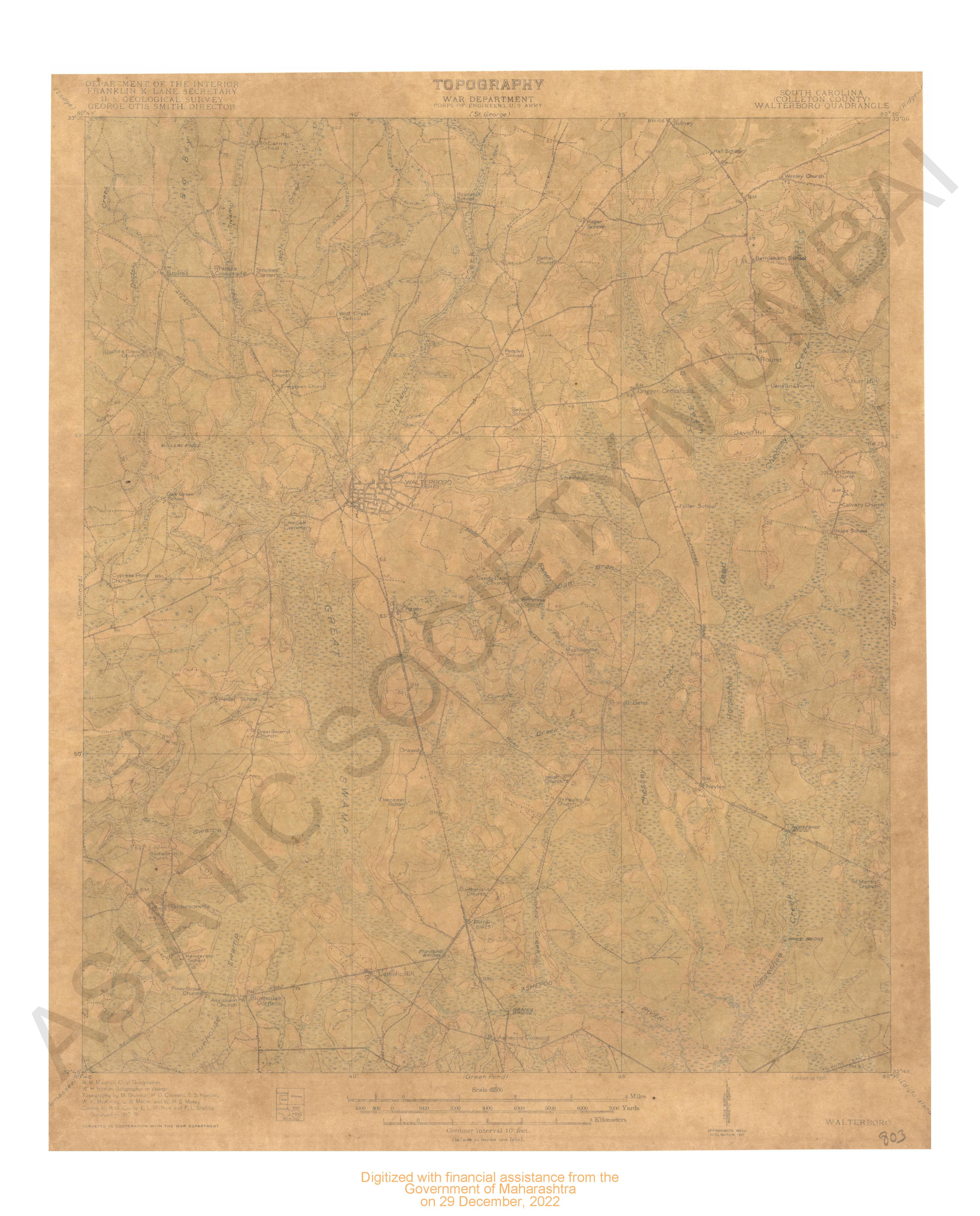
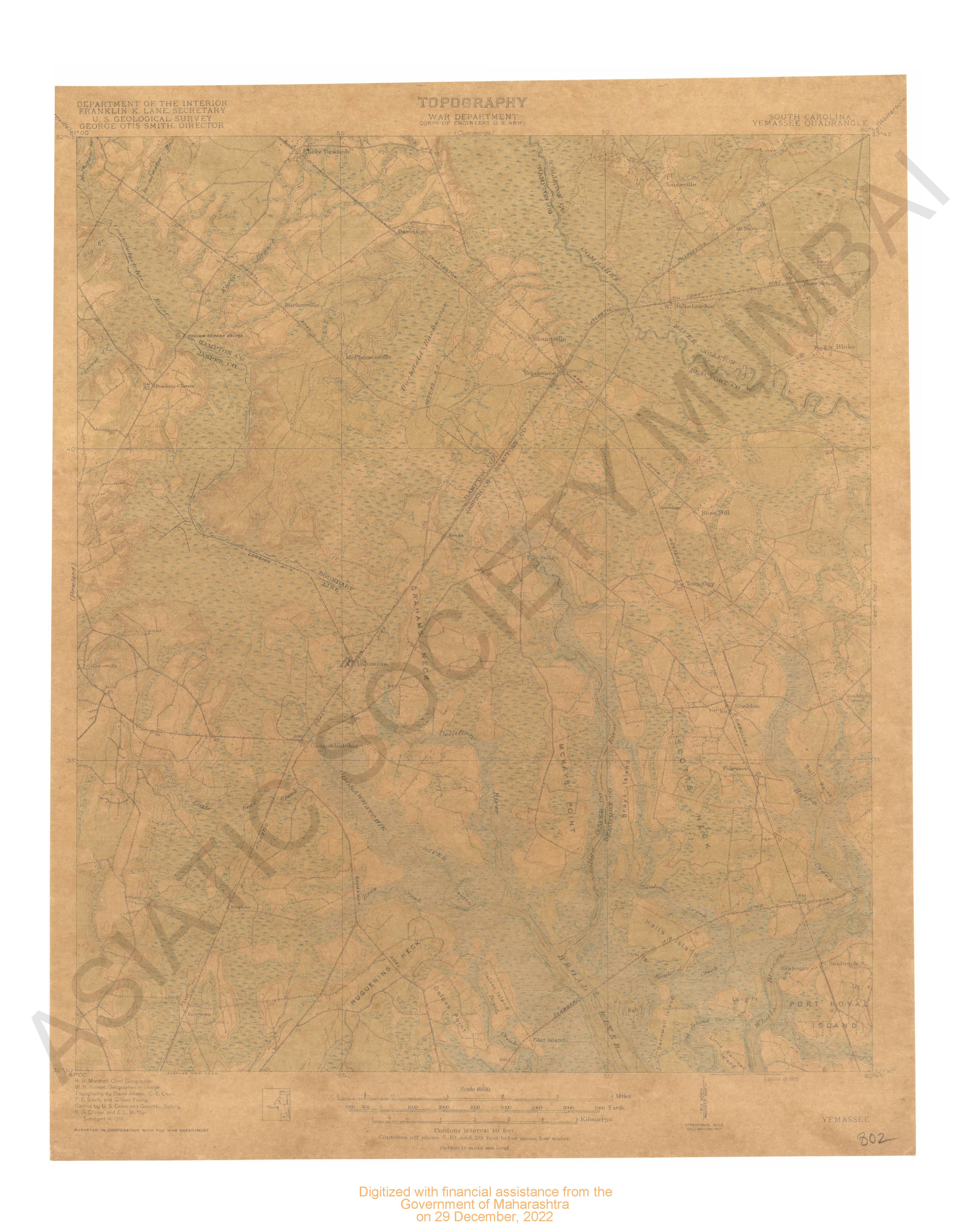
| Notes/Description | : | Datum is mean sea level Relief(Printed in brown), Figures(Showing heights above mean sea level instrumentally determined), Contours(showing heights above sea,horizontal form, and steepness of slope, of the surface), Depression contours, Drainage (printed in blue), Rivers, Creeks, Intermittent streams, Springs, Sinks, Culture (printed in black), Villages, Roads and Buildings, Trails, Railroads, Bridges, Tunnels, County Boundary lines, Triangulation stations. Names of adjoining published sheets are printed on the margin |
| Pages/Folios | : | 1 |
| Identifier | : | MAP_0699 |
| Digitization Sponsor | : | Government of Maharashtra |
Other Similar Items
-
- 10 Views
- Kentucky London Sheet Surveyed in 1891
- Year: 1897
-
- 11 Views
- Kentucky Richmond Sheet Surveyed in 1890
- Year: 1897
-
- 10 Views
- Maine Boothbay sheet surveyed in 1891.
- Year: 1893
-
- 34 Views
-
- 34 Views
-
- 66 Views
-
- 44 Views
-
- 27 Views
-
- 6 Views
-
- 12 Views
-
- 58 Views
-
- 46 Views