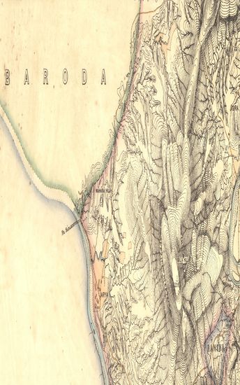
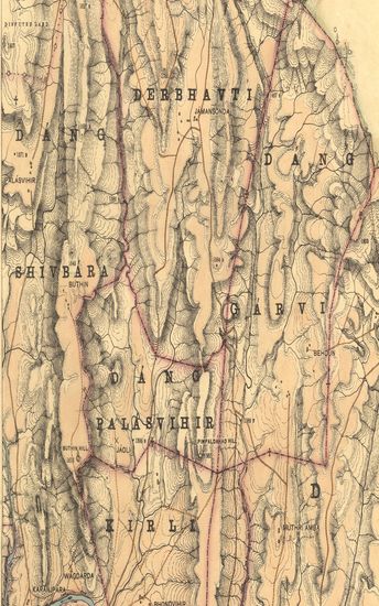
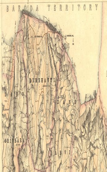
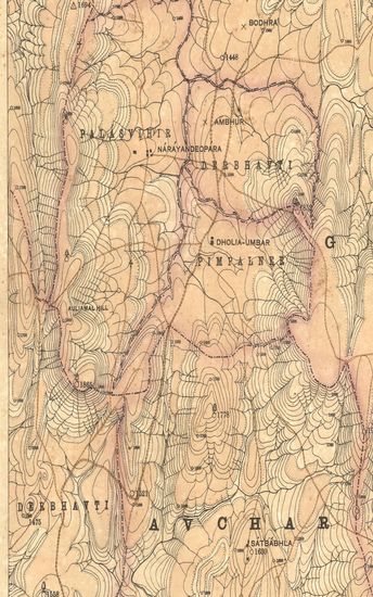
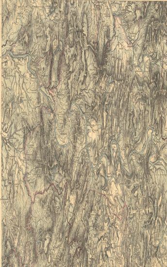
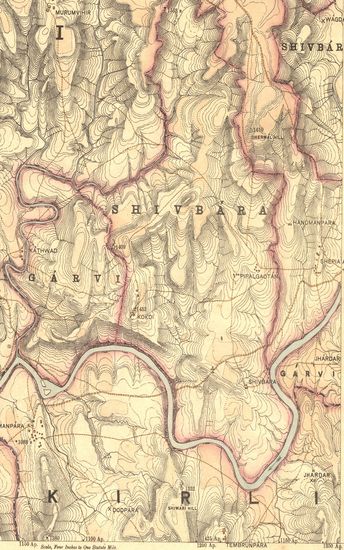
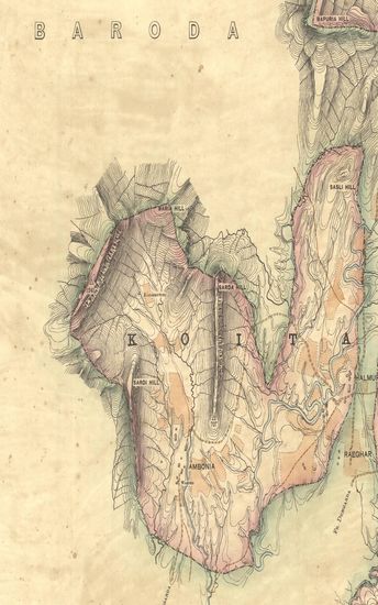
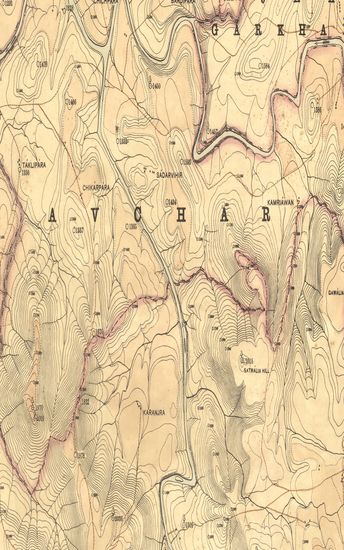
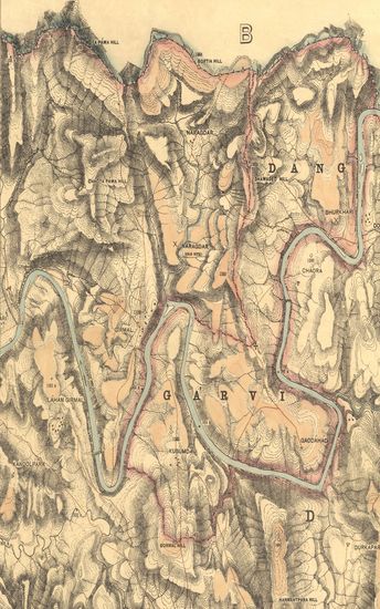
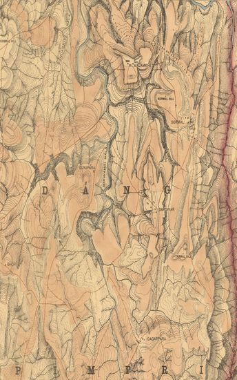
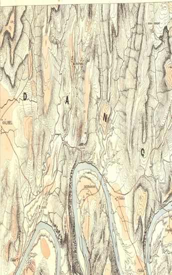
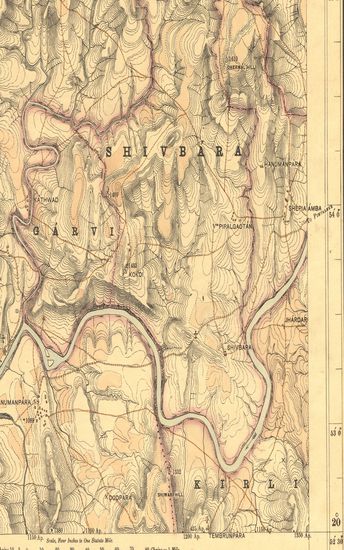
Guzerat, Section No.8 of Sheet No.49 (Dang Forests) : Parts of Dang Derbhavti, Dang Shivbara, Dang Garvi, Dang Palasvihir and the Dang Bilbari States
| Resource Type | : | Map |
| Year/Date of Publication | : | 1882 |
| Subject | : | Topographic Map |
| Publisher | : | Dehradun Office of the Trigonometrical Branch : Survey of India 1882 |
| Place of Publication | : | Dehradun |
| Language | : | English |
| Notes/Description | : | Orthography is in accordance with Bombay Government Official (Bombay Places and Common Official Words). Conventional Signs. Trigonometrical Stations ▲ Intersected Points and Traverse Stations ○ State Boundaries ~~ Edge of Forest Clearances ☁ Heights above mean sea level determined trigonometrically thus, 398 Barometric heights above the mean sea level thus, 390B. Approximate heights thus, 491Ap. Hill Shading strokes are in four grades thus, ☰ ☲ ☲ ☷ representing respectively vertical intervals of 36, 24, 16 and 10⅔ feet approximately The linear values are derived from the measured length of the Sironj base, assumed as log feet 4.5844824, through the Karachi Longitudinal Series. The heights are referrible to Mean Sea Level at Okha Tidal Station on the Gulf of Cutch. The longitudes are refferible yo Madras Observatory, 80° 17' 21, to which a correction of - 2' 30 must be applied to reduce to the most recent value, viz : 80° 14' 51 |
| Pages/Folios | : | 1 |
| Identifier | : | MAP_0275 |
| Digitization Sponsor | : | Government of Maharashtra |
Other Similar Items
-
- 65 Views
-
- 80 Views
-
- 70 Views
-
- 74 Views
-
- 36 Views
-
- 84 Views
-
- 91 Views
- Guzerat, Section No. 12 of Sheet no. 49 (Dang Forests) ...
- Year: 1880
- Author: Haig, CT.
-
- 261 Views
-
- 70 Views
-
- 119 Views
-
- 67 Views
-
- 71 Views