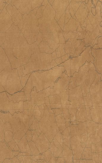
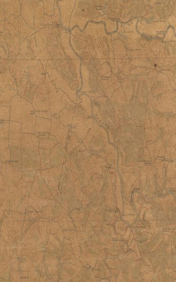
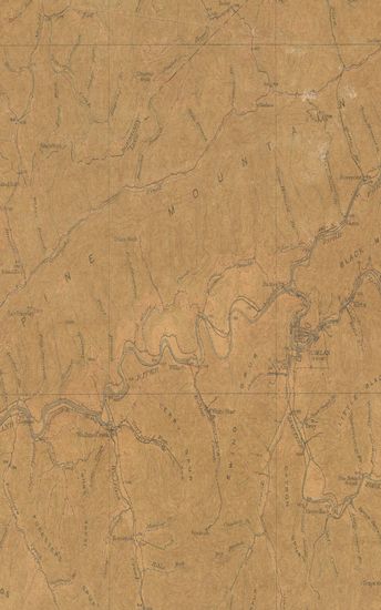
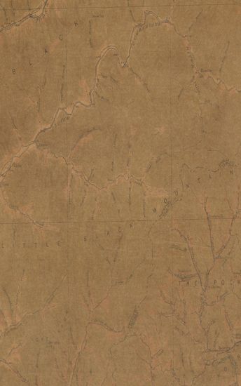
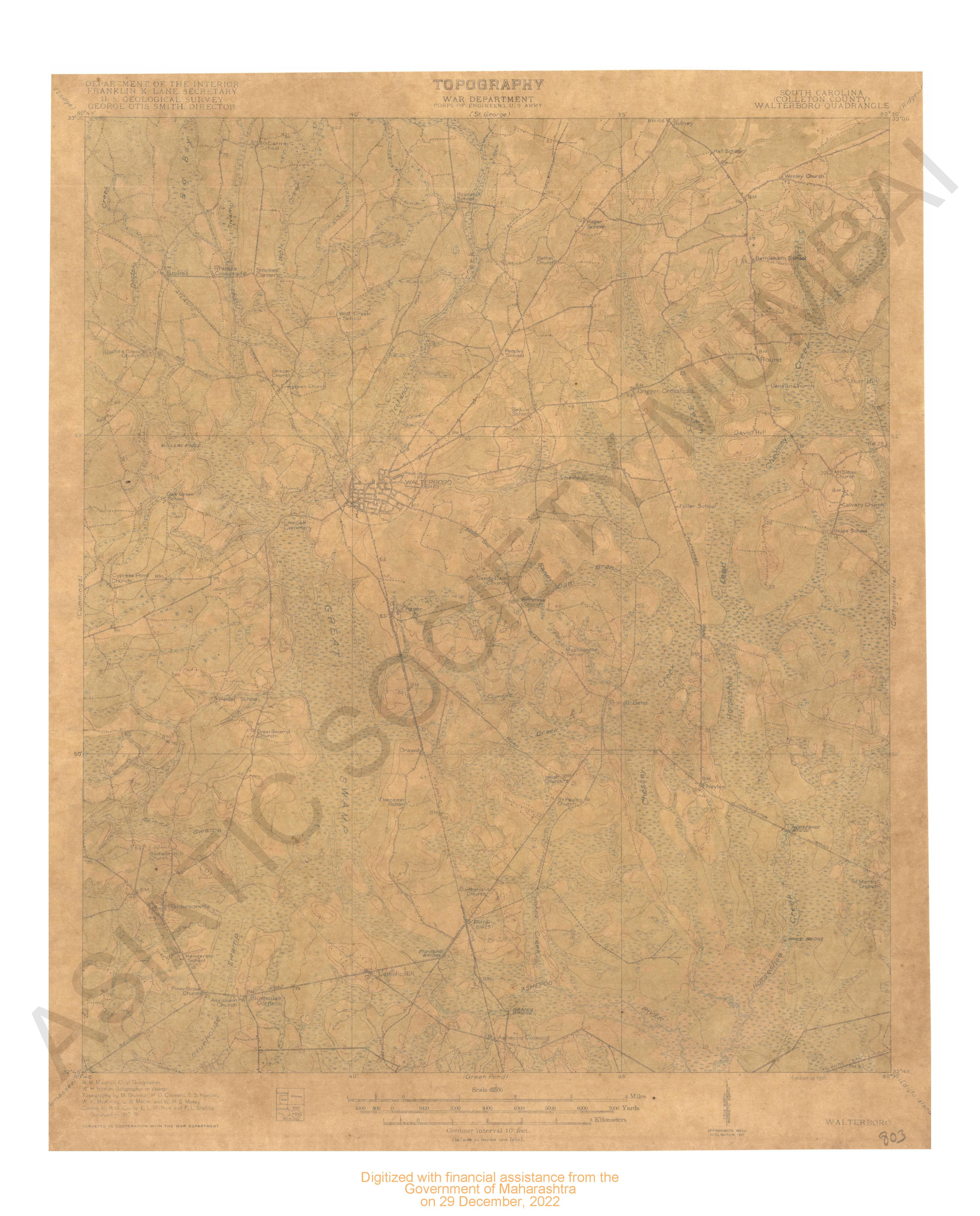
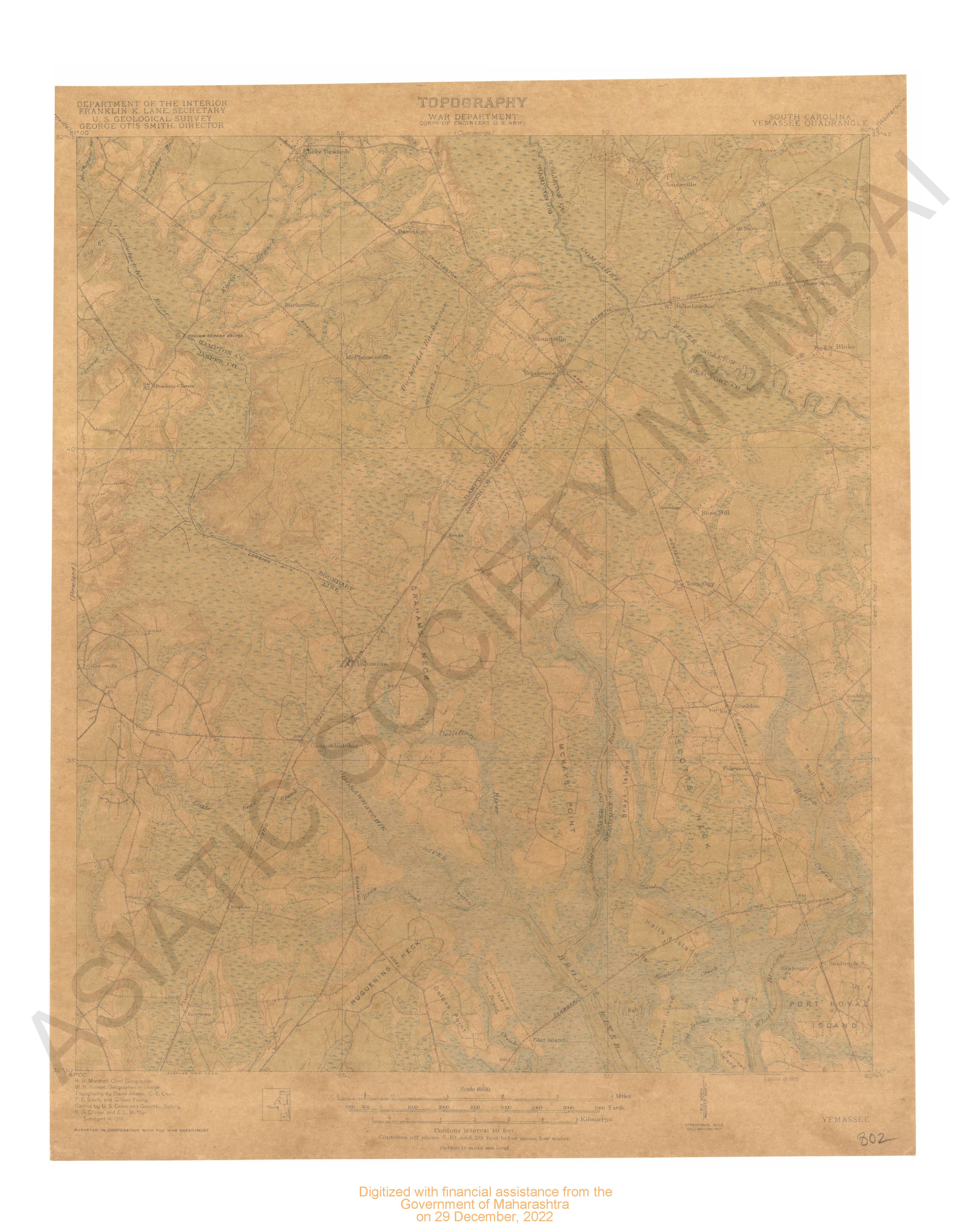
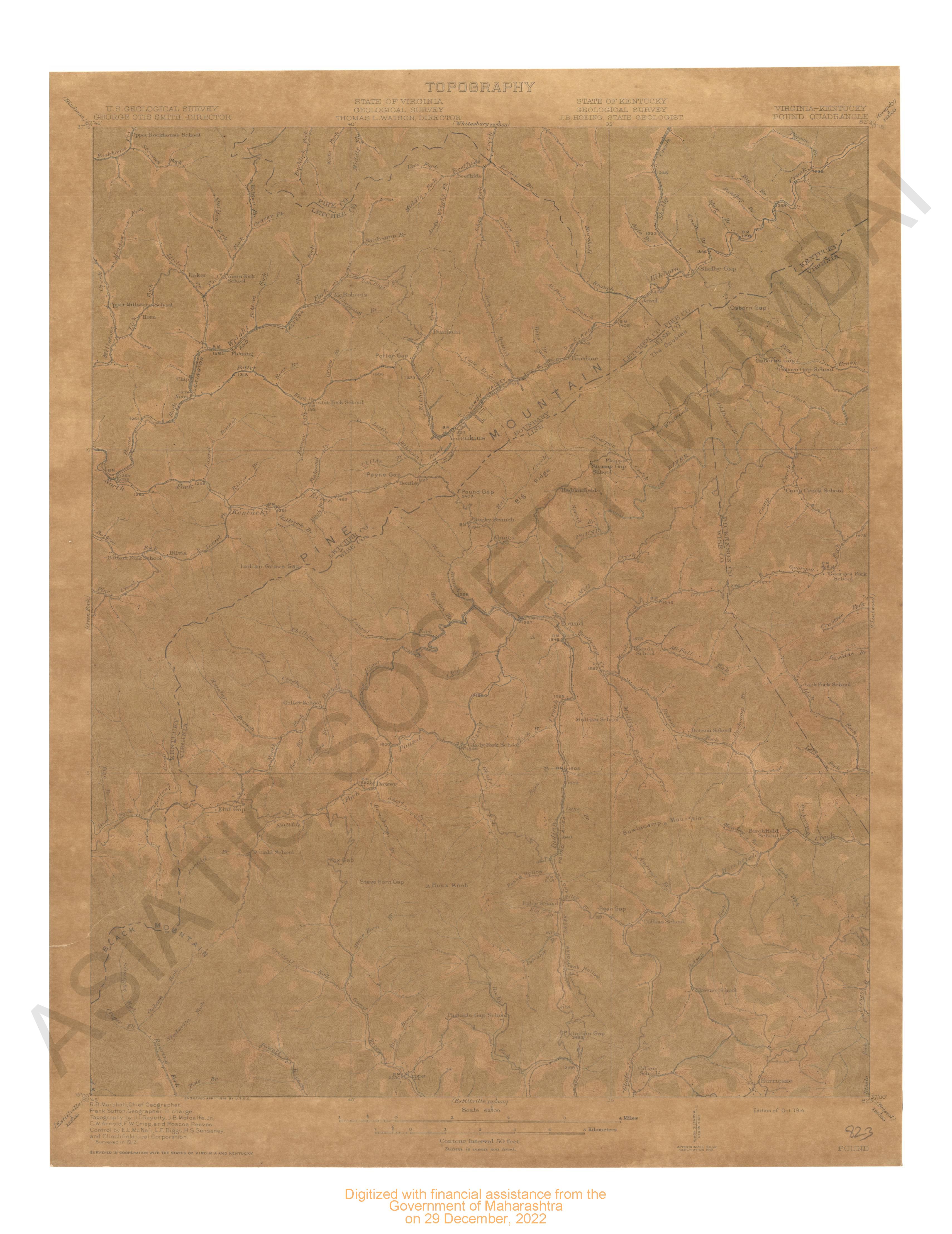
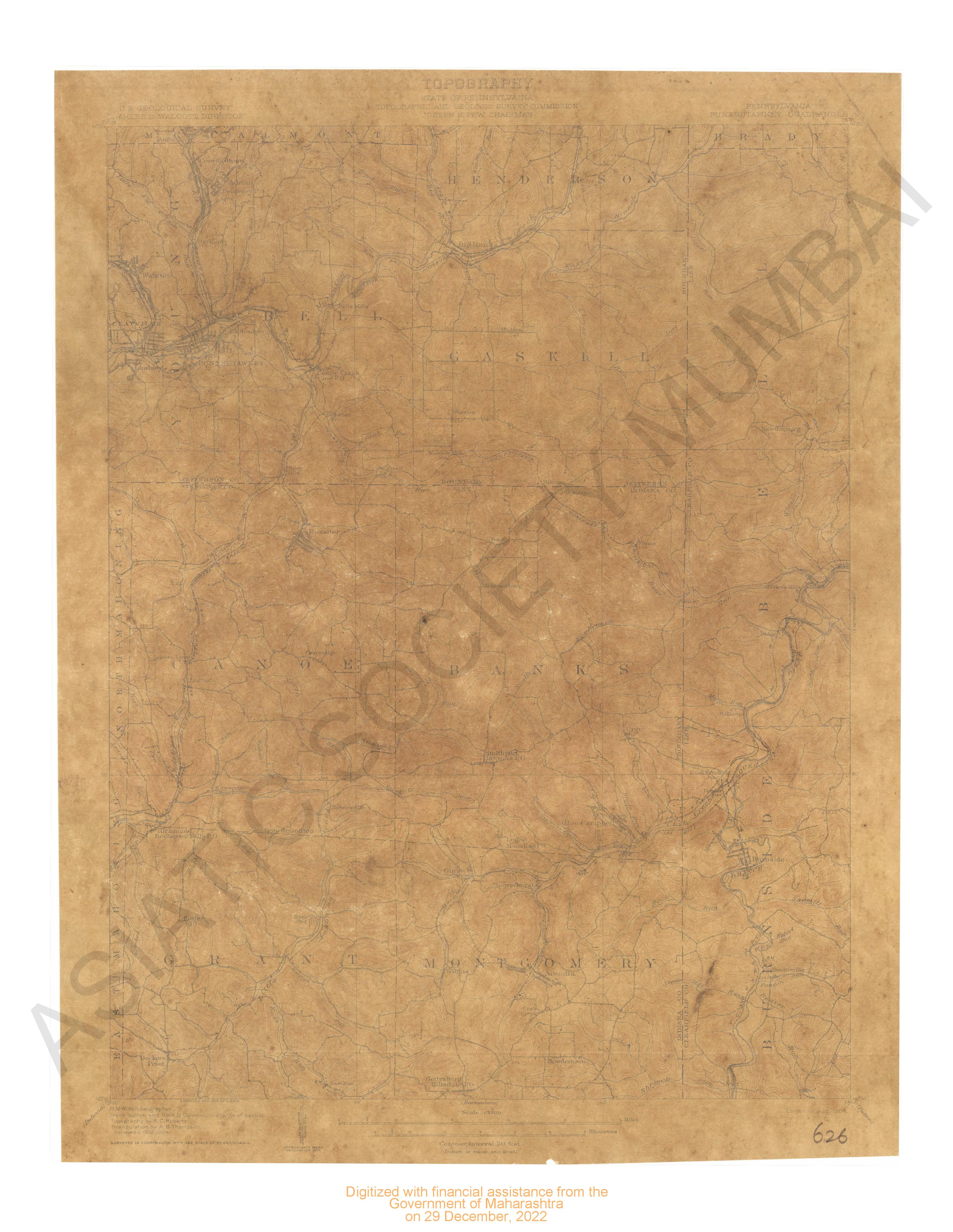
Kentucky Dawson Springs Quadrangle Surveyed in Cooperation with the State of Kentucky
| Resource Type | : | Map |
| Year/Date of Publication | : | 1911 |
| Subject | : | Topographic Map |
| Publisher | : | Washington US Geological Survey 1911 |
| Place of Publication | : | Washington |
| Language | : | English |
| Notes/Description | : | Datum is Mean Sea Level Approximate Mean Declination, 1909 |
| Pages/Folios | : | 1 |
| Identifier | : | MAP_0704 |
| Digitization Sponsor | : | Government of Maharashtra |

Other Similar Items
-
- 34 Views
-
- 34 Views
-
- 66 Views

-
- 44 Views
-
- 6 Views
-
- 12 Views
-
- 28 Views
-
- 9 Views
-
- 33 Views
-
- 110 Views
-
- 9 Views
-
- 66 Views