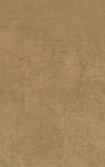
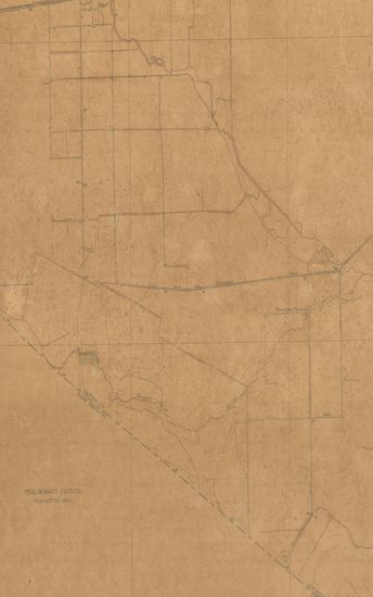
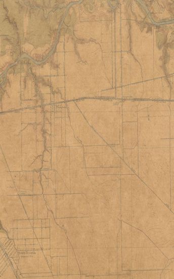
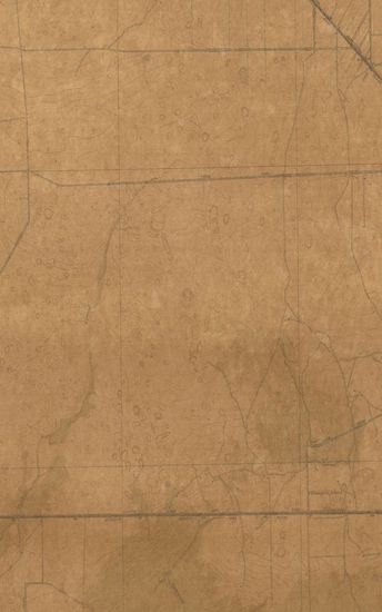
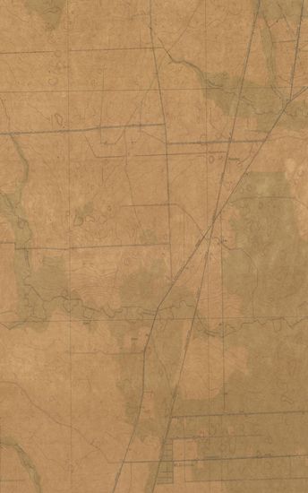
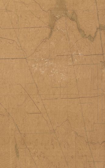
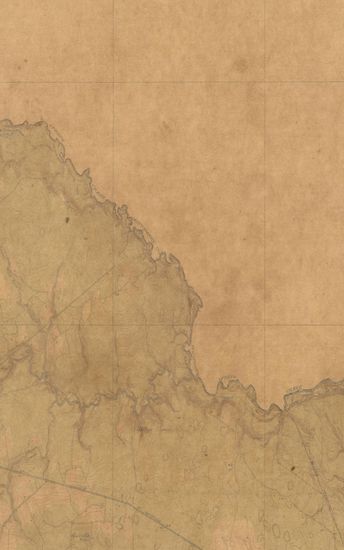
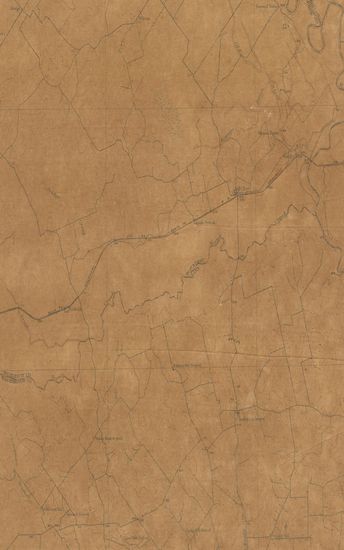
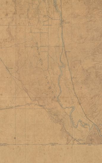
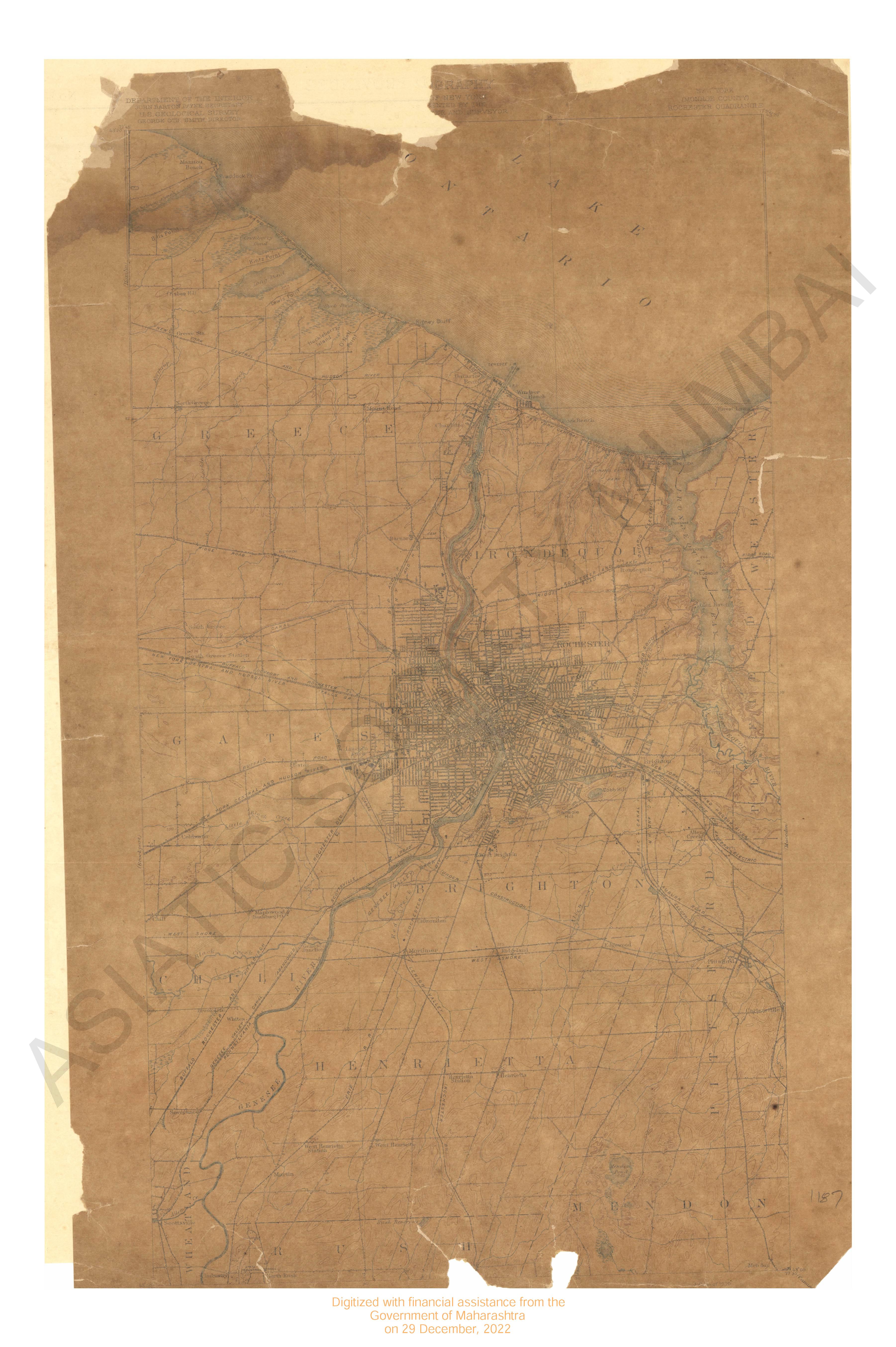
Texas(Harris County) Alief Quadrangle Surveyed in 1915 (preliminary edition) in cooperation with the Harris County
| Resource Type | : | Map |
| Year/Date of Publication | : | 1919 |
| Subject | : | Topographic Map |
| Publisher | : | Washington US Geological Survey 1919 |
| Place of Publication | : | Washington |
| Language | : | English |
| Notes/Description | : | Datum Is Mean Sea Level Approximate Mean Declination, 1915 |
| Pages/Folios | : | 1 |
| Identifier | : | MAP_0713 |
| Digitization Sponsor | : | Government of Maharashtra |
Other Similar Items
-
- 44 Views
- Texas (Harris county) Weeden Quadrangle 1916 (prelimina ...
- Year: 1919
- Author: Marshall, R.B.
-
- 87 Views

-
- 89 Views
-
- 81 Views
-
- 80 Views
-
- 28 Views
-
- 66 Views
-
- 108 Views
-
- 14 Views
-
- 103 Views
-
- 120 Views
-
- 61 Views