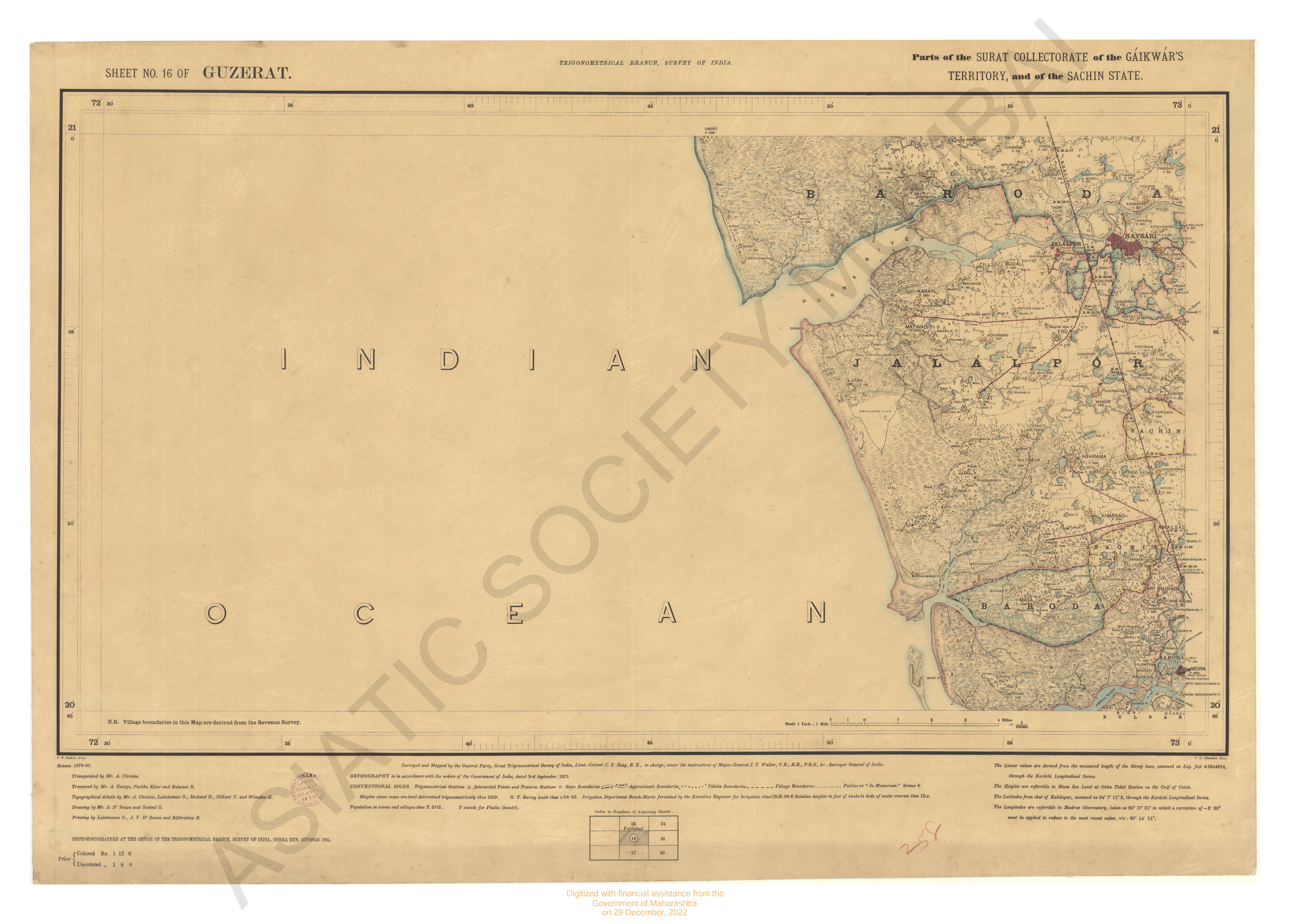
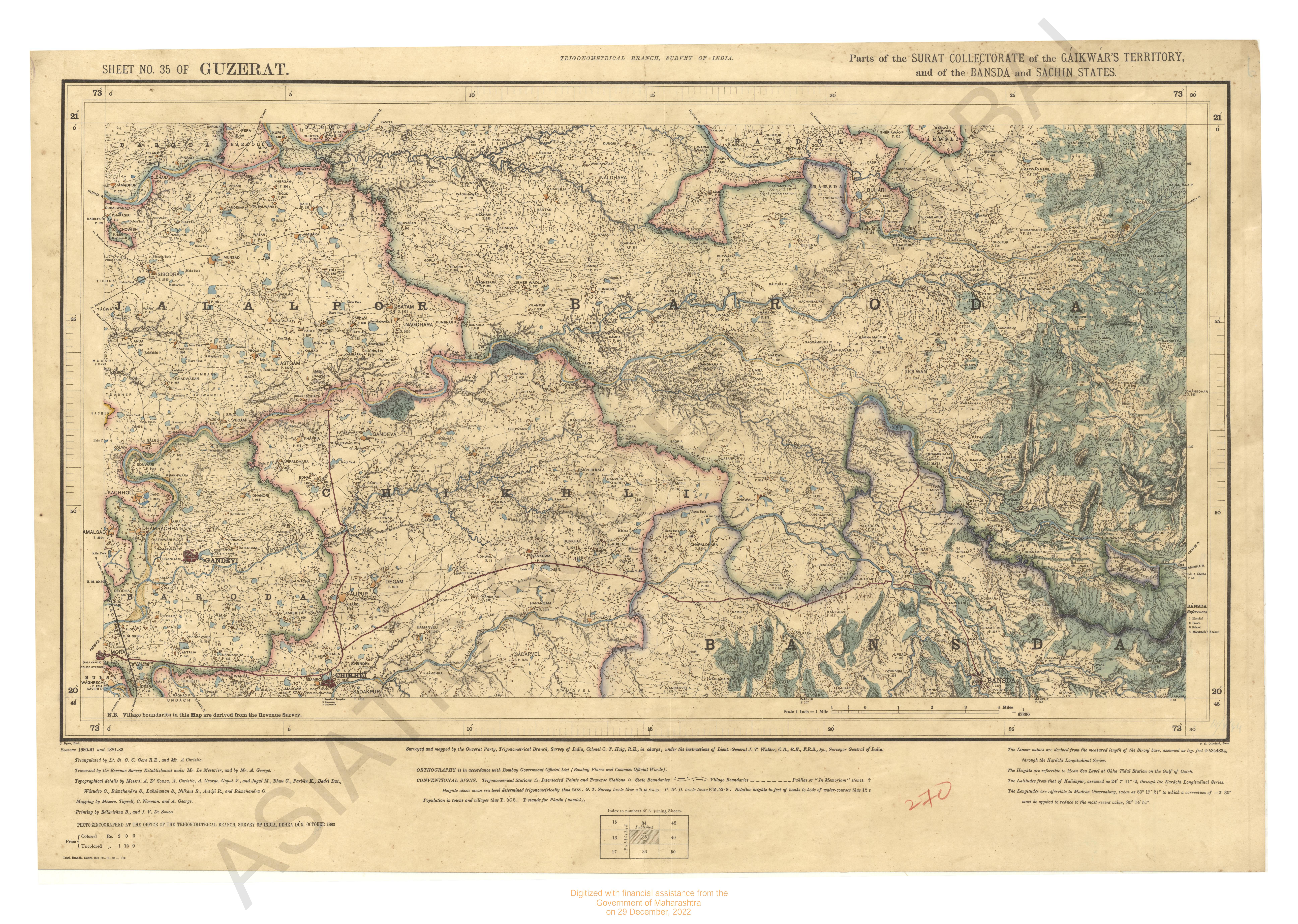
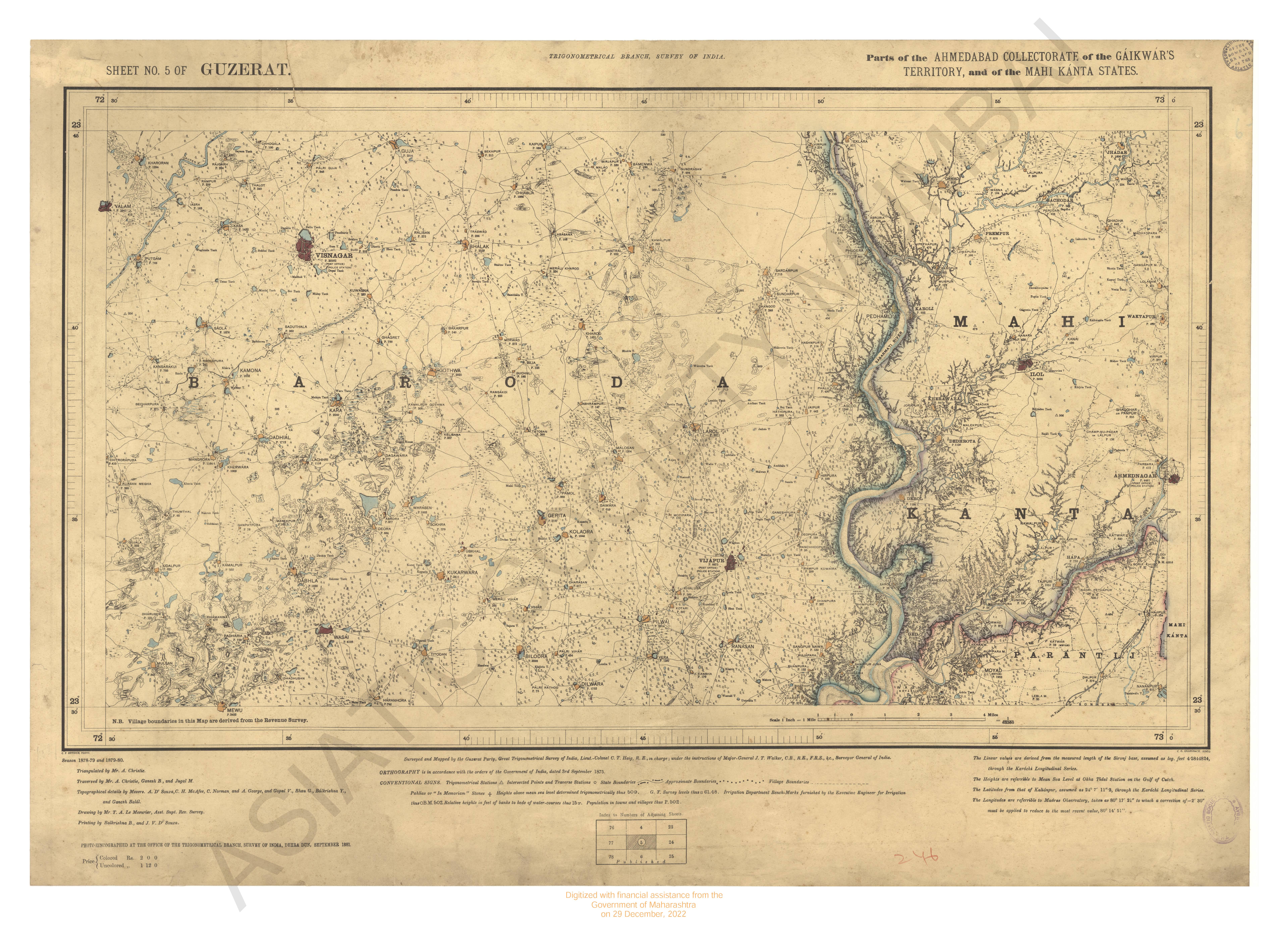
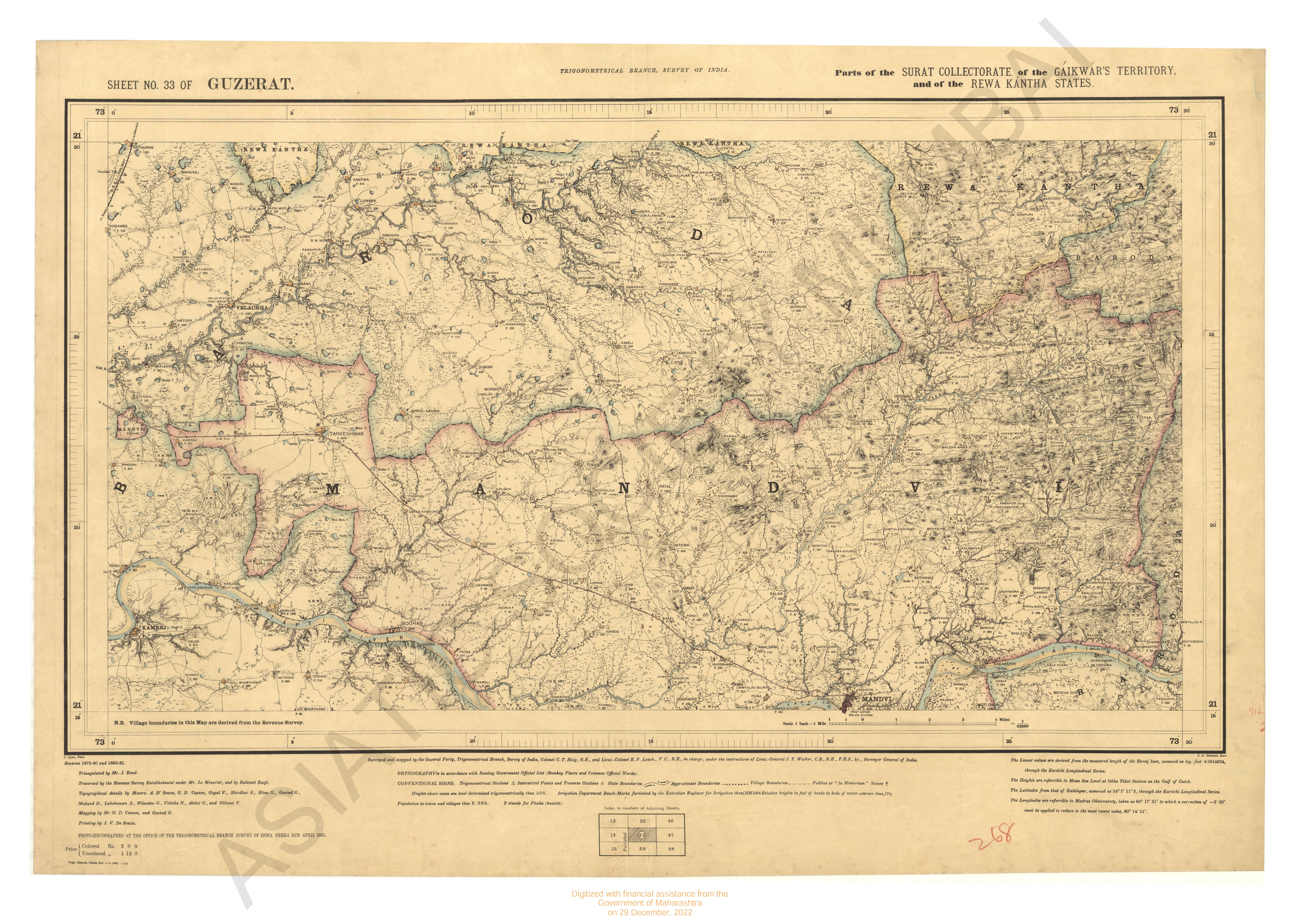
Gujarat : Parts of the Khandesh and Nasik Collectorates, of the Dang States of the Khandesh Agency, of the Gaikwar's Territory, and of the Bansda State. 1877-82. Trigonometrical Survey Of India
| Resource Type | : | Map |
| Year/Date of Publication | : | 1885 |
| Subject | : | Topographic Map |
| Publisher | : | Dehradun Office of the Trigonometrical Branch : Survey Of India 1885 |
| Place of Publication | : | Dehradun |
| Language | : | English |
| Notes/Description | : | Orthography in accordance with Bombay Government Official List (Bombay places and common official words) Conventional Signs. Trigonometrical stations▲. Intersected points and Traverse Stations ○, State Boundaries ~, Village boundaries ---- Pahlias or In Memoriam Stones † . Heights above mean sea level determined trigonometrically , thus 508, relative heights in feet of banks to beds of water-courses thus 12 r. Population in towns and villages thus P.508. Para (Hamlet) frequently abbreviated into P. Barometric Heights, 924B. The linear values are derived from the measured length of the Sironj base, assumed as log. feet 4.5844824, through the Karachi Longitudinal Series. The Heights are referrible to mean sea level at Okha Tidal Station on the Gulf of Cutch. The Latitudes from that of Kalianpur, assumed as 24° 7' 11. 2, through the Karachi Longitudinal Series. The longitudes are referrible to that of Madras Observatory, taken as 80° 17' 21 to which a correction of -2' 30 must be applied to reduce to the most recent value, viz : 80°2 14' 51 |
| Pages/Folios | : | 1 |
| Identifier | : | MAP_0272 |
| Digitization Sponsor | : | Government of Maharashtra |
Other Similar Items
-
- 2 Views
-
- 38 Views
-
- 36 Views
-
- 164 Views
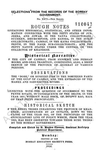
- Rough Notes containing Historical, Statistical and othe ...
- Year: 1856
- Author: India. Bombay Presidency; Thomas, R. Hughes (Ed.)
-
- 3 Views
-
- 3 Views

-
- 3 Views
-
- 2 Views
-
- 3 Views
-
- 3 Views
-
- 4 Views
-
- 2 Views