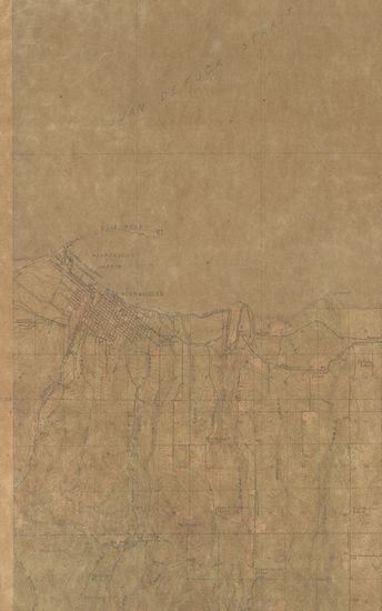
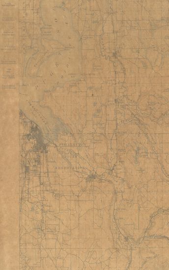
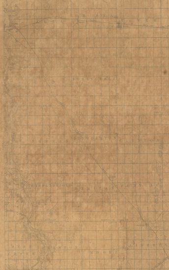
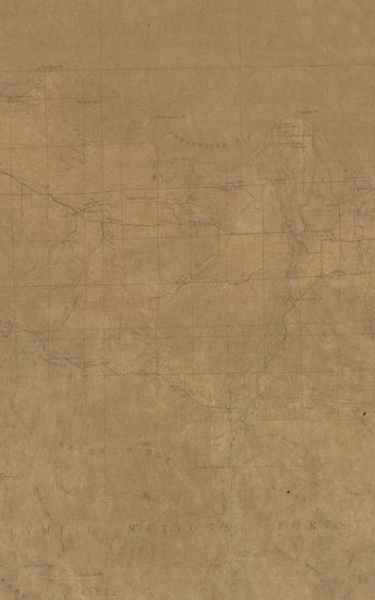
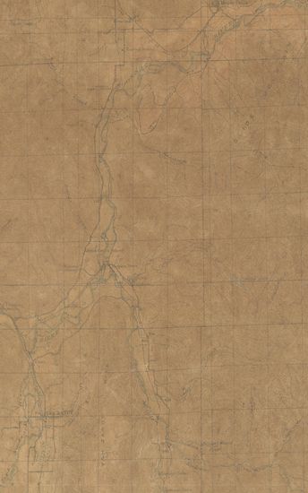
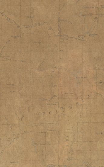
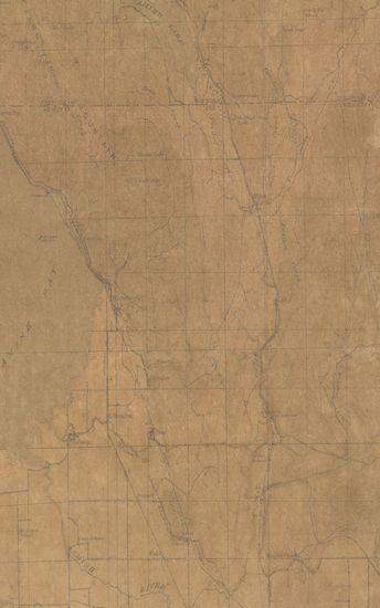
Washington Tacoma Quadrangle Surveyed in 1894-95
| Resource Type | : | Map |
| Year/Date of Publication | : | 1897 |
| Subject | : | Topographic Map |
| Publisher | : | Washington US Geological Survey 1897 |
| Place of Publication | : | Washington |
| Language | : | English |
| Notes/Description | : | Relief (printed in brown), Figures (Showing heights above mean sea level instrumentally determined), Contours (Showing height above sea, horizontal form, and steepness of slope of the surface), Depression contours, Drainage (printed in blue), Rivers, Creeks, Intermittent Streams, Lakes, Temporary Lakes, Sinks, Salt Marshes, Fresh Marshes, Flood Plains, Culture (Printed in black), Cities and Towns, Roads and Buildings, Private and secondary roads, Trails, Railroads, Street railroads, Tunnels, Bridges, Ferries, Fords, Wharves and Docks, County boundary lines, City and town boundary lines, Reservation boundary lines, U.S Township and section lines, located township and section corners, Township and range numbers |
| Pages/Folios | : | 1 |
| Identifier | : | MAP_0733 |
| Digitization Sponsor | : | Government of Maharashtra |
Other Similar Items
-
- 2 Views
-
- 75 Views
- General Report on the Operations of the Survey of India ...
- Year: 1895
- Author: India (British). Survey Department; Thuillier, He et al.
-
- 219 Views
-
- 226 Views

-
- 2 Views
-
- 29 Views
-
- 69 Views
-
- 61 Views
-
- 76 Views
-
- 48 Views
-
- 79 Views
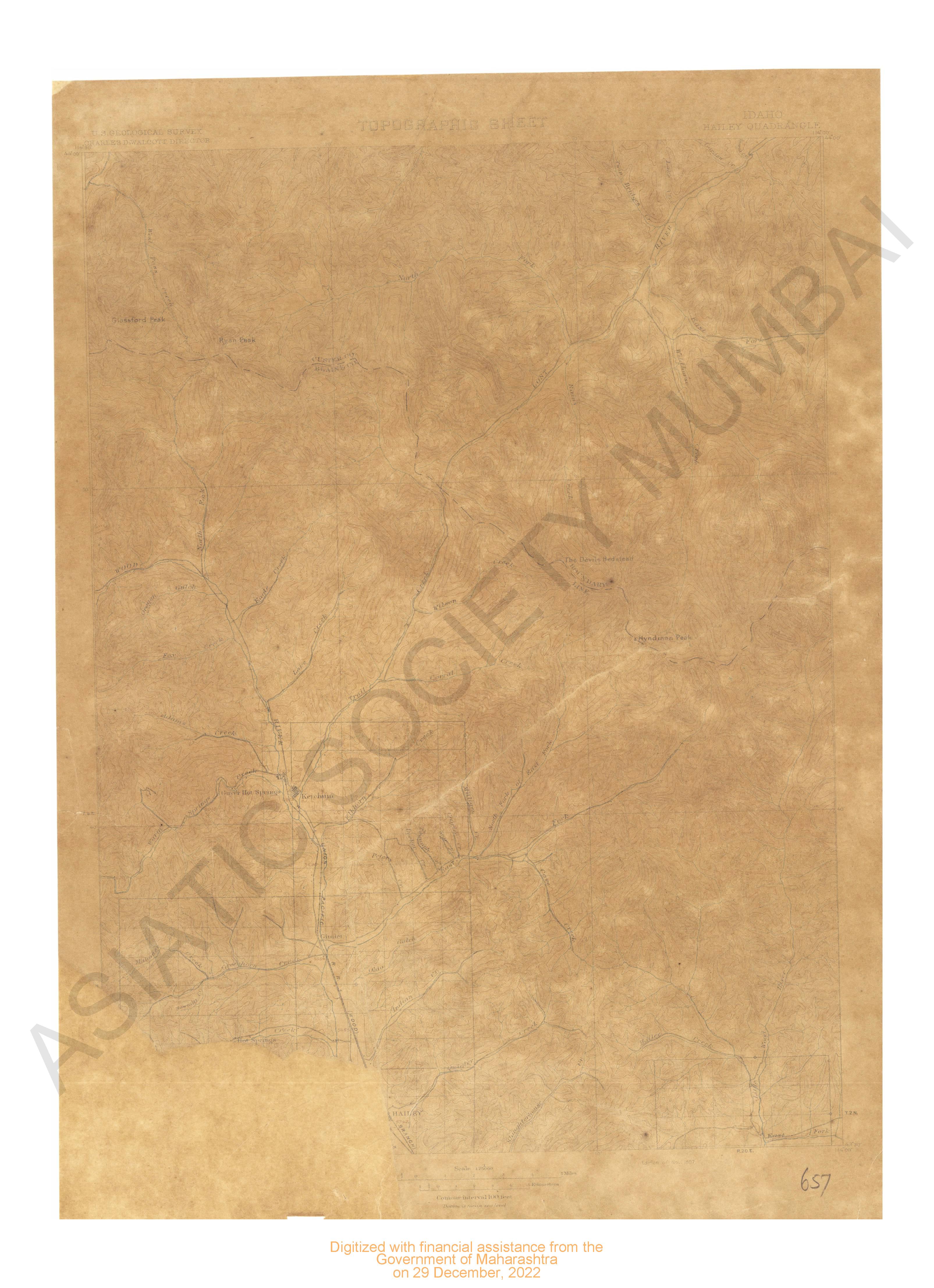
- Washington Samish Lake Quadrangle Surveyed in 1917 in C ...
- Year: 1918
- Author: Marshall, R.B.
-
- 72 Views