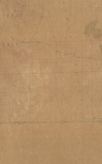
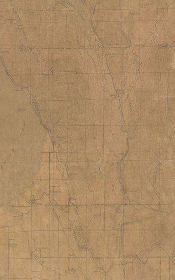
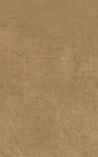
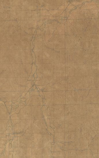
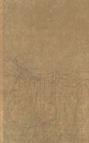
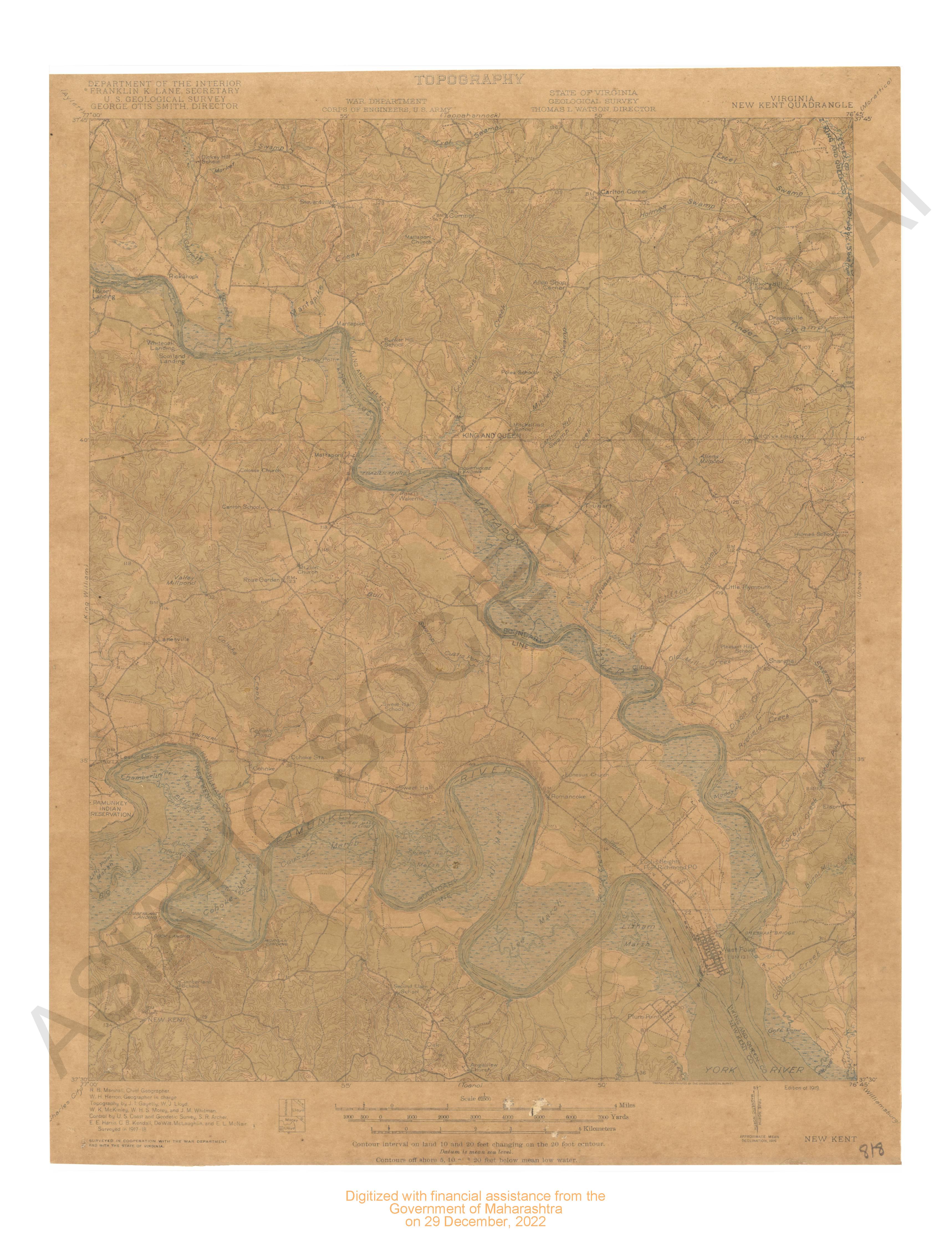
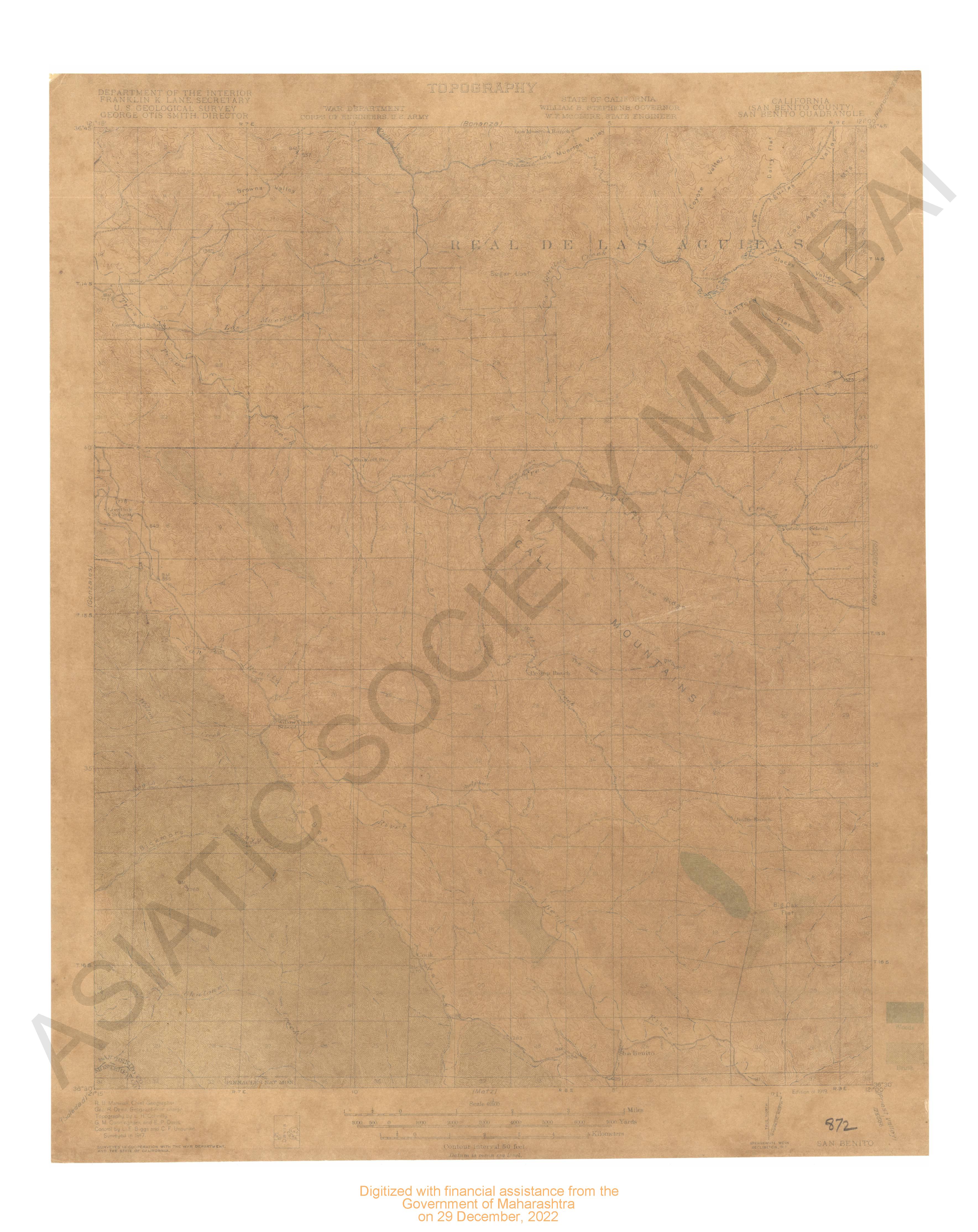
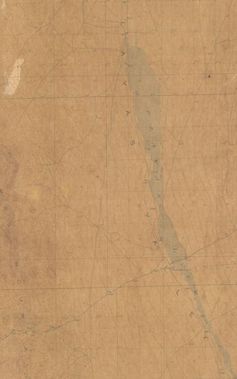
Washington Samish Lake Quadrangle Surveyed in 1917 in Cooperation with the War Department
| Resource Type | : | Map |
| Author | : | Marshall, R.B. |
| Year/Date of Publication | : | 1918 |
| Subject | : | Topographic Map |
| Publisher | : | Washington US Geological Survey 1918 |
| Place of Publication | : | Washington |
| Language | : | English |
| Notes/Description | : | Datum is mean sea level Contours off shore 5, 10, and 20 Feet below mean low water Approximate mean declination, 1917 |
| Pages/Folios | : | 1 |
| Identifier | : | MAP_0736 |
| Digitization Sponsor | : | Government of Maharashtra |
Other Similar Items
-
- 61 Views
-
- 76 Views
-
- 72 Views
-
- 71 Views
- Ohio Gambier Quadrangle Surveyed in 1912 in Cooperation ...
- Year: 1914
- Author: Marshall, R.B.
-
- 44 Views
- Texas (Harris county) Weeden Quadrangle 1916 (prelimina ...
- Year: 1919
- Author: Marshall, R.B.
-
- 78 Views
- Colorado Meeker Quadrangle Surveyed in 1911-12
- Year: 1915
- Author: Marshall, R.B.
-
- 72 Views
-
- 9 Views
-
- 120 Views
-
- 108 Views
-
- 120 Views
-
- 110 Views