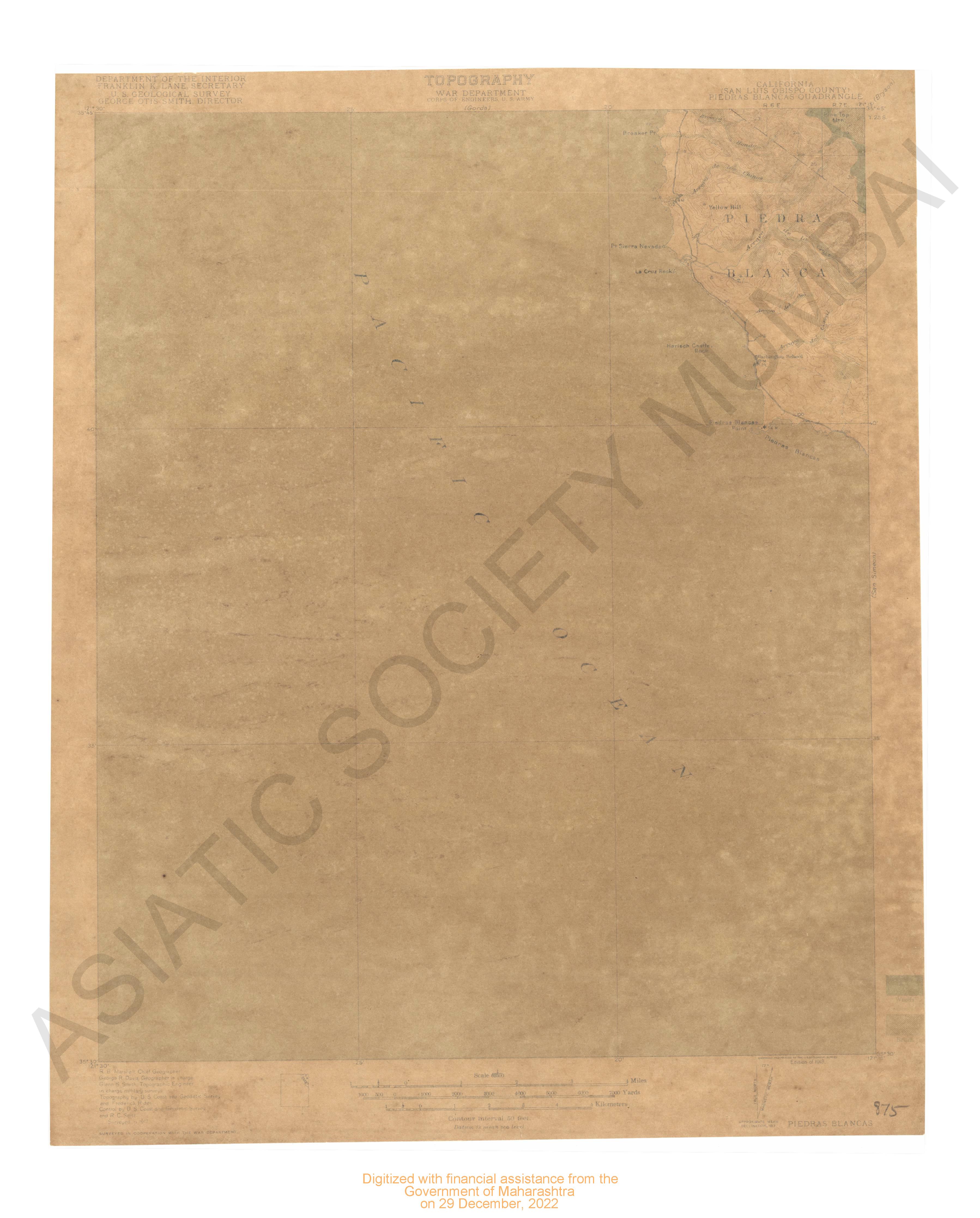
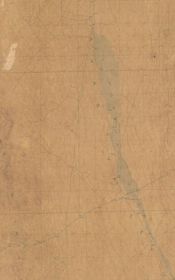
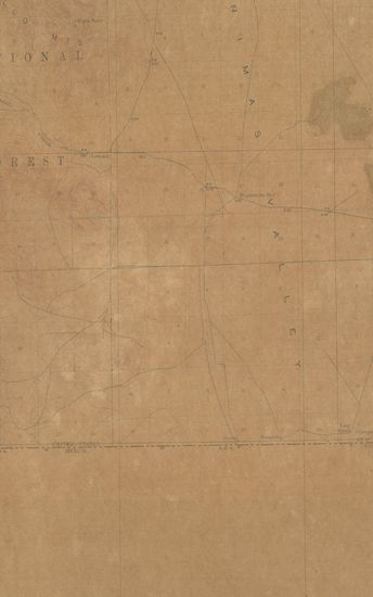
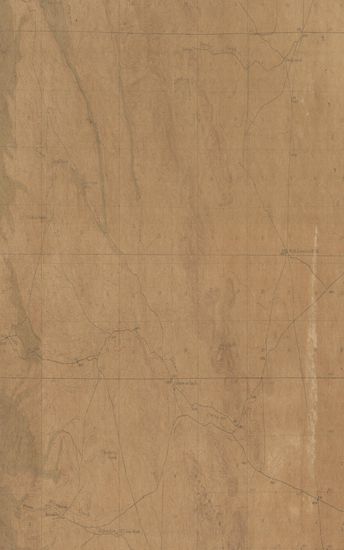
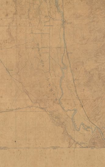
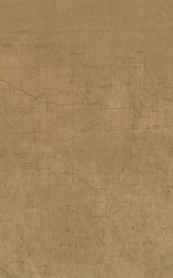
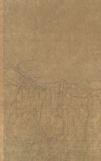
New Mexico (Grant county) Van Zandt Quadrangle Surveyed in 1917-18 in Cooperation with the War Department
| Resource Type | : | Map |
| Year/Date of Publication | : | 1919 |
| Subject | : | Topographic Map |
| Publisher | : | Washington US Geological Survey 1919 |
| Place of Publication | : | Washington |
| Language | : | English |
| Notes/Description | : | Datum is mean sea level Approximate mean declination, 1918 |
| Pages/Folios | : | 1 |
| Identifier | : | MAP_0741 |
| Digitization Sponsor | : | Government of Maharashtra |
Other Similar Items
-
- 110 Views
-
- 120 Views
-
- 76 Views
-
- 10 Views
-
- 72 Views
-
- 9 Views
-
- 108 Views
-
- 9 Views
-
- 9 Views
-
- 61 Views
-
- 72 Views
-
- 5 Views