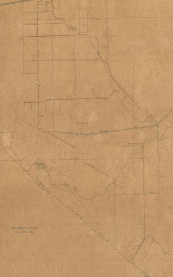
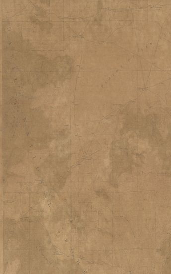
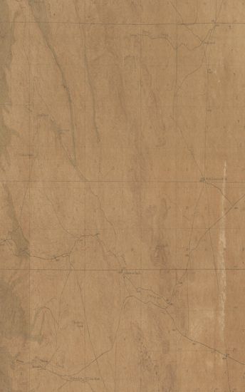
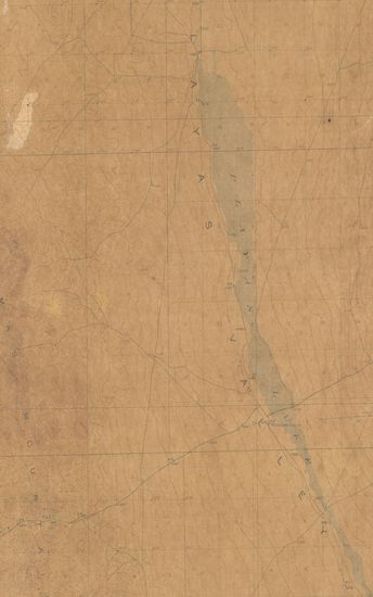
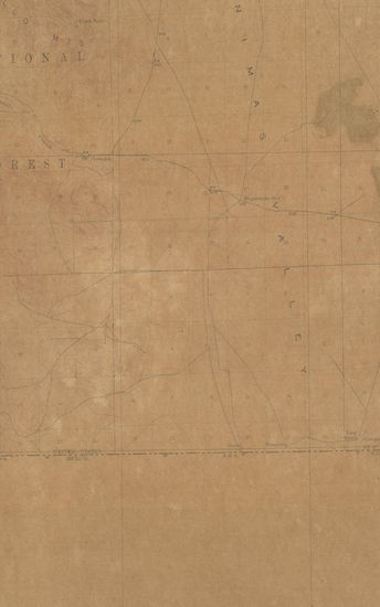
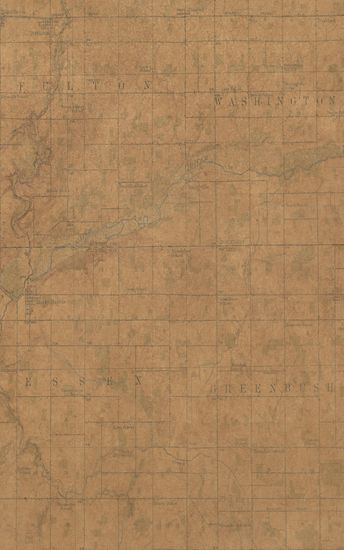
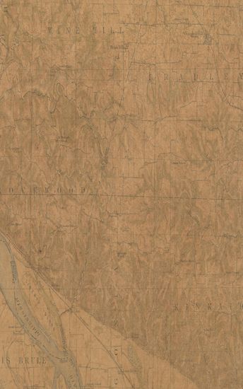
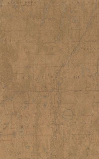
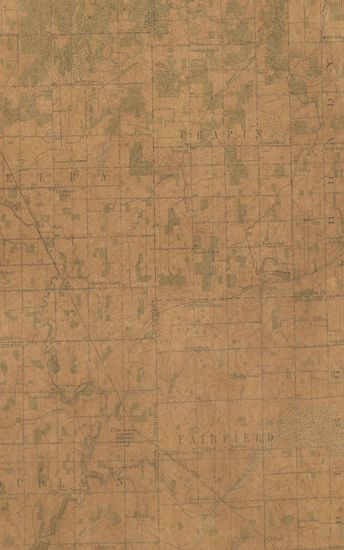
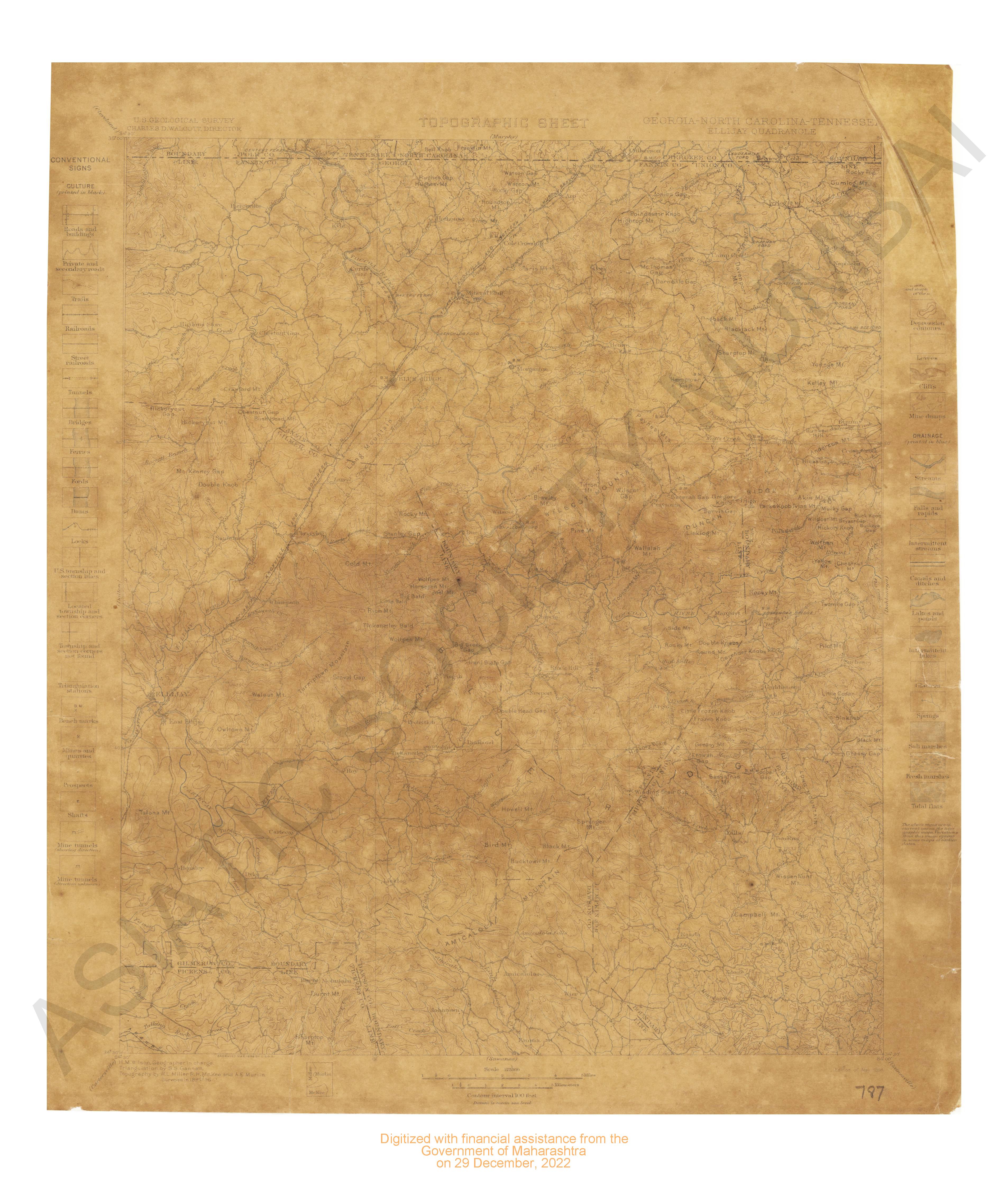
New Mexico (Socorro County) Pelona Quadrangle Surveyed in 1915-16
| Resource Type | : | Map |
| Year/Date of Publication | : | 1918 |
| Subject | : | Topographic Map |
| Publisher | : | Washington US Geological Survey 1918 |
| Place of Publication | : | Washington |
| Language | : | English |
| Notes/Description | : | Datum is Mean Sea Level As the Land Office Plats and Topography Cannot be Reconciled in Ts.3,4,5,6,8,9, and part of T7 S,Rs.11 and 12 W;Ts.5,6,7, and 9 S,R.13 W; Ts.5.6, and part of T.9 S,R.14 W, and parts of Ts. 5,6, and 7 S,R.15 W., the land lines have been omitted Note: In joining with Alum Mtn. and Mogollon maps use dotted projection corners. Diagram of Township Approximate Mean Declination, 1916 |
| Pages/Folios | : | 1 |
| Identifier | : | MAP_0747 |
| Digitization Sponsor | : | Government of Maharashtra |
Other Similar Items
-
- 120 Views
-
- 120 Views
-
- 110 Views
-
- 81 Views
-
- 63 Views
-
- 78 Views
-
- 63 Views
-
- 9 Views

-
- 2 Views
-
- 87 Views

-
- 89 Views
-
- 79 Views