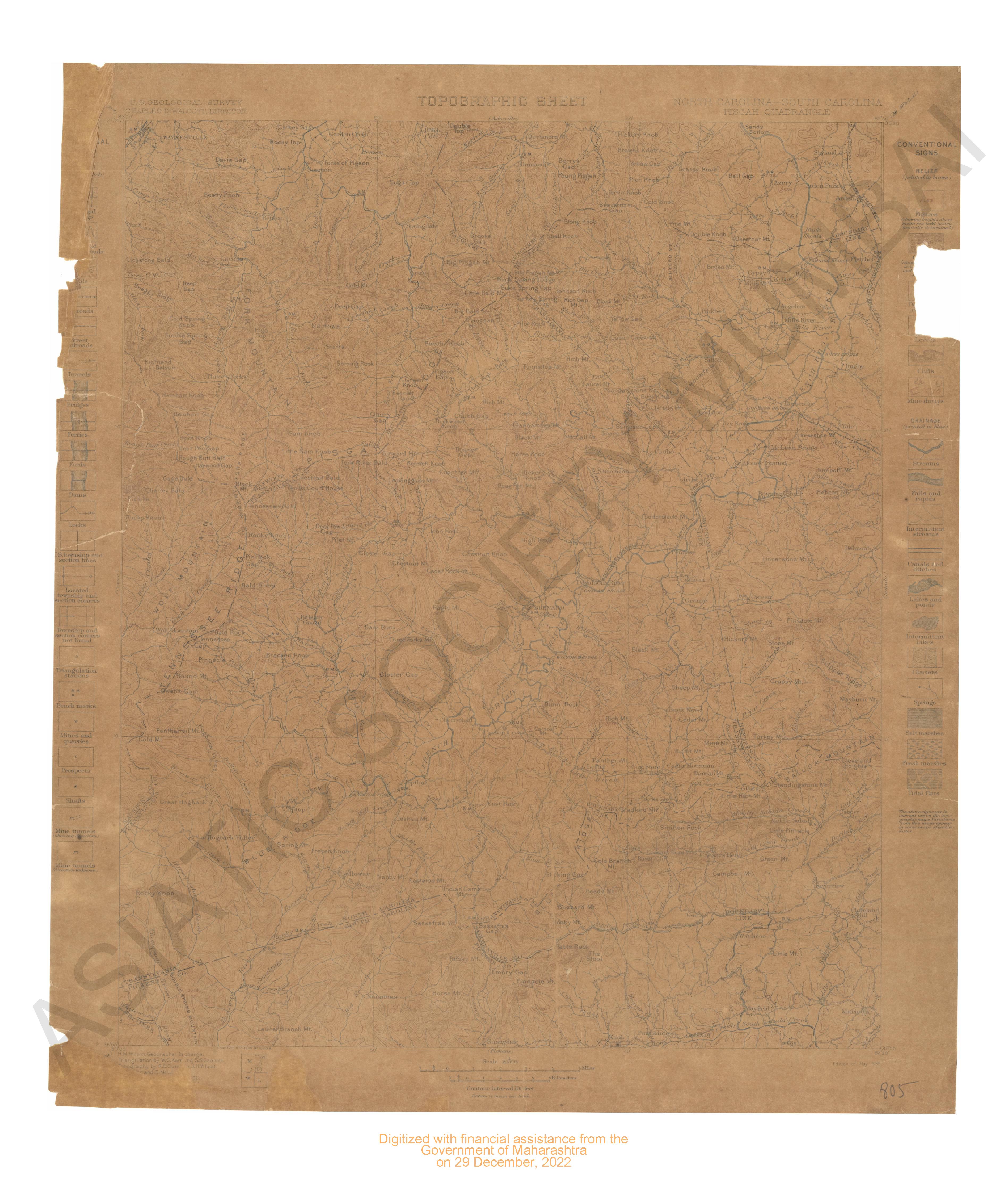
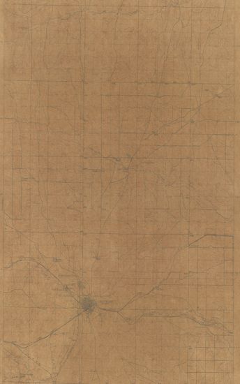
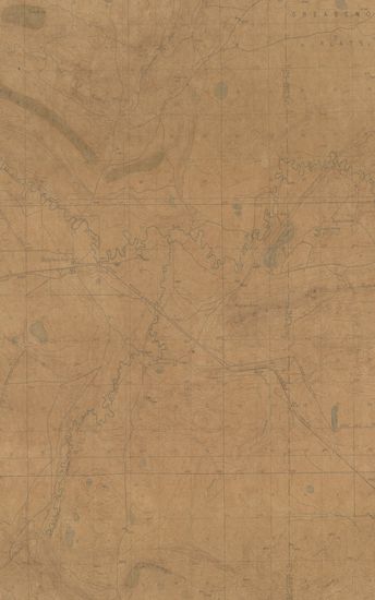
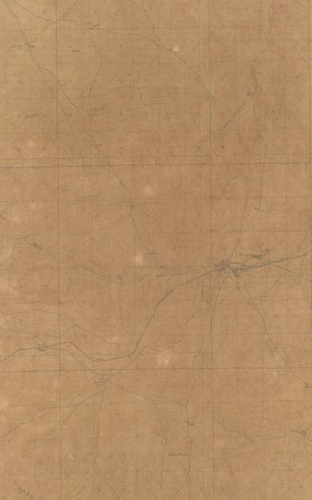
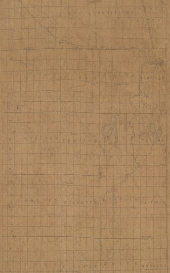
Wyoming Nbebraska Goshen Hole Quadrangle Surveyed in 1895
| Resource Type | : | Map |
| Year/Date of Publication | : | 1899 |
| Subject | : | Topographic Map |
| Publisher | : | Washington US Geological Survey 1899 |
| Place of Publication | : | Washington |
| Language | : | English |
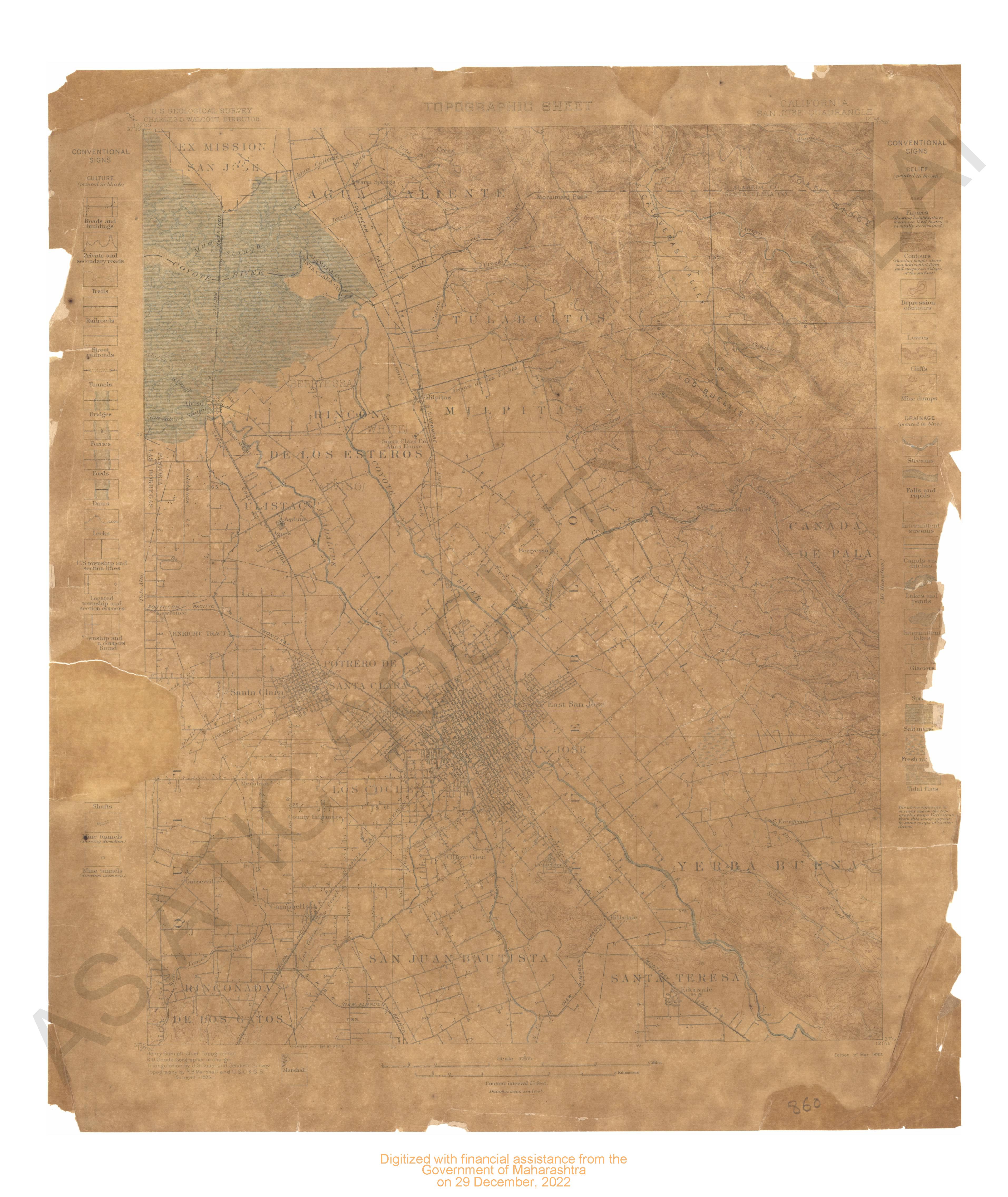
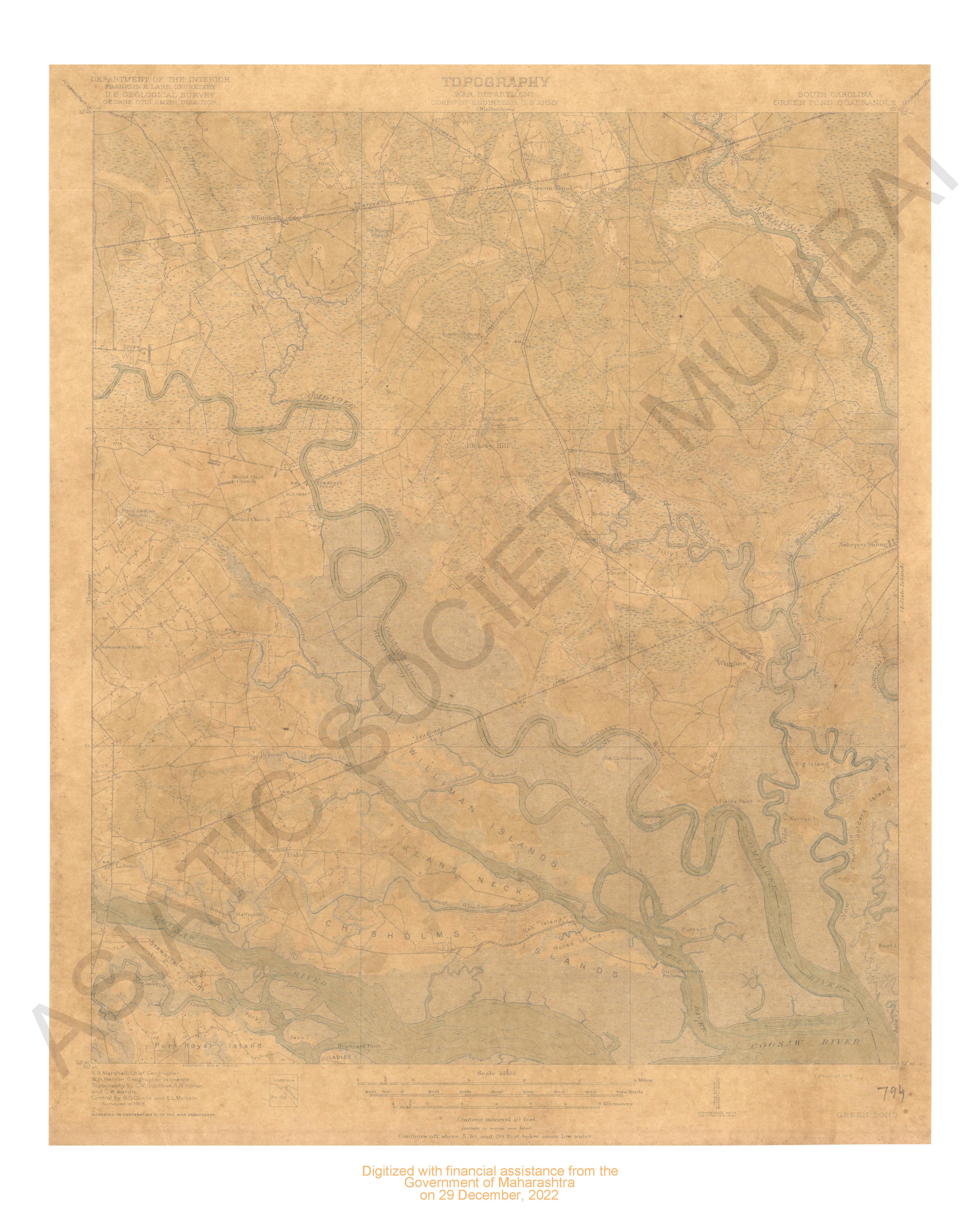
| Notes/Description | : | Datum is the mean sea level Relief (Printed in brown), Figures (showing heights above mean sea level instrumentally determined), Contours (showing height above sea horizontal form and steemess of slope of the surface), Depression contours, Leeves, Cliffs, Mine Dumps, Drainage (printed in blue), Streams, Falls and rapids, Intermittent streams, Canals and ditches, Lakes and Ponds, Intermittent lakes, Glaciers, Springs, Salt marshes, Fresh Marshes, Tidal flats, Culture (printed in black), Roads and buildings, Private and secondary roads, Trails, Railroads, Street railroads, tunnels, Bridges, Fords, Dams, Locks, U.S. Township and section lines, Located township and section corners, Township and section corners not found, Triangulation stations, Bench marks, Mines and queries, prospects, Shafts, Mine Tunnels (Showing Direction), Mine tunnels (direction unknown) the above signs are in current use on the topographics ,Maps. Variations from this usage appear in some maps of earlier dates. |
| Pages/Folios | : | 1 |
| Identifier | : | MAP_0748 |
| Digitization Sponsor | : | Government of Maharashtra |
Other Similar Items
-
- 199 Views
- Wyoming Crandall Quadrangle Surveyed in 1893
- Year: 1899
-
- 247 Views
-
- 186 Views
-
- 414 Views
-
- 178 Views
-
- 189 Views
-
- 66 Views
-
- 56 Views
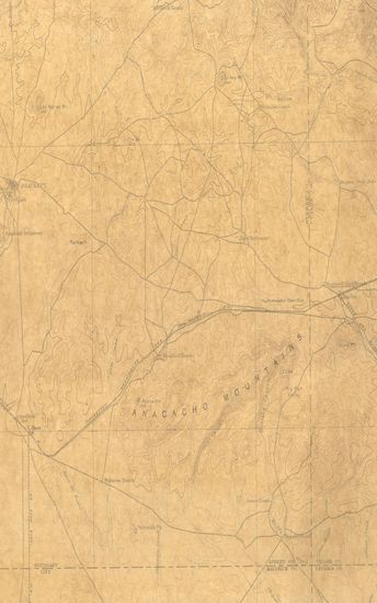
- Texas Brackett Quadrangle Surveyed in 1891 & 1895
- Year: 1897
- Author: Gannett, Henry
-
- 46 Views
-
- 2 Views
-
- 9 Views
-
- 15 Views