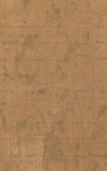
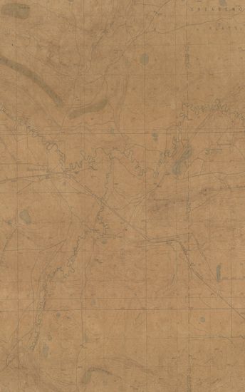
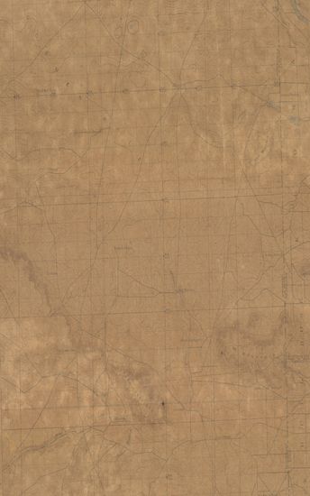
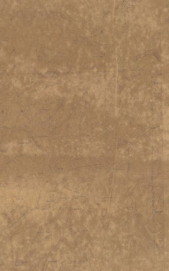
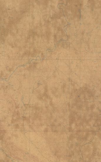
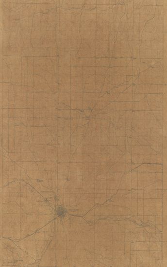
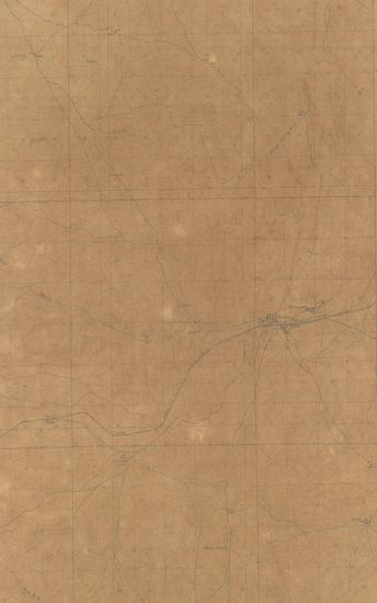
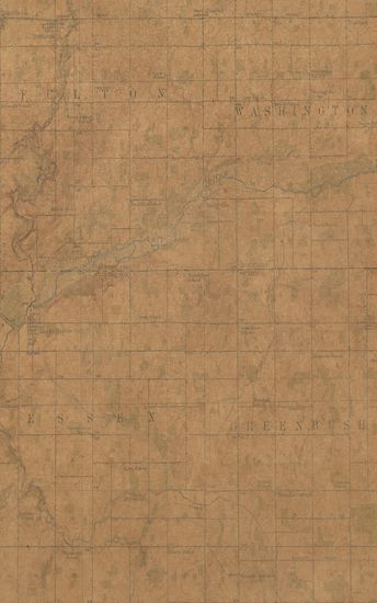
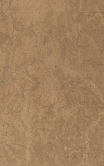
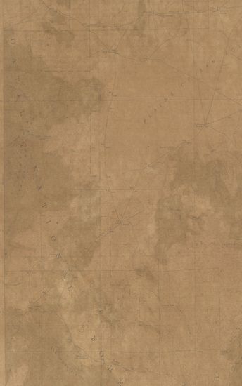
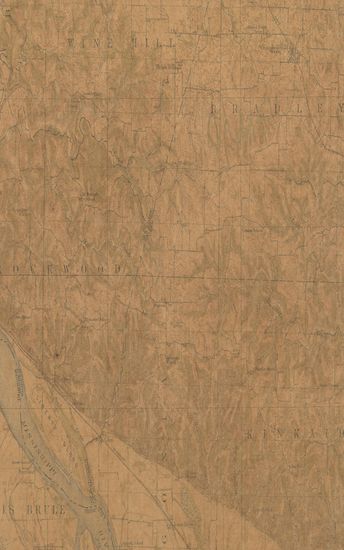
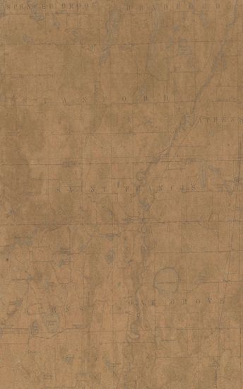
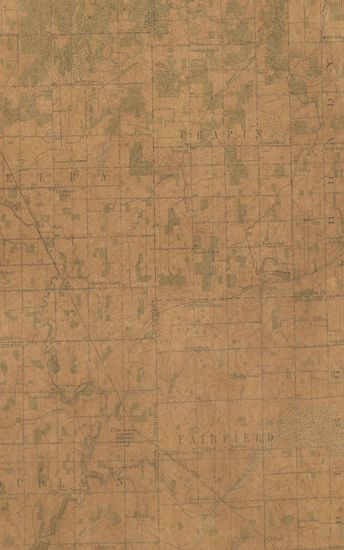
Wyoming Como Ridge Quadrangle Surveyed in 1915
| Resource Type | : | Map |
| Publisher | : | Scale [5:25] Contour Interval 25 Feet |
| Place of Publication | : | Scale |
| Language | : | English |
| Notes/Description | : | Datum is mean sea level Approximate mean declination 1915 |
| Pages/Folios | : | 1 |
| Identifier | : | MAP_0749 |
| Digitization Sponsor | : | Government of Maharashtra |
Other Similar Items
-
- 622 Views
-
- 199 Views
- Wyoming Crandall Quadrangle Surveyed in 1893
- Year: 1899
-
- 247 Views
-
- 186 Views
-
- 178 Views
-
- 81 Views
-
- 100 Views
-
- 617 Views
-
- 63 Views
-
- 78 Views
-
- 63 Views
-
- 49 Views