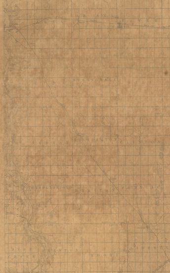
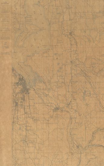
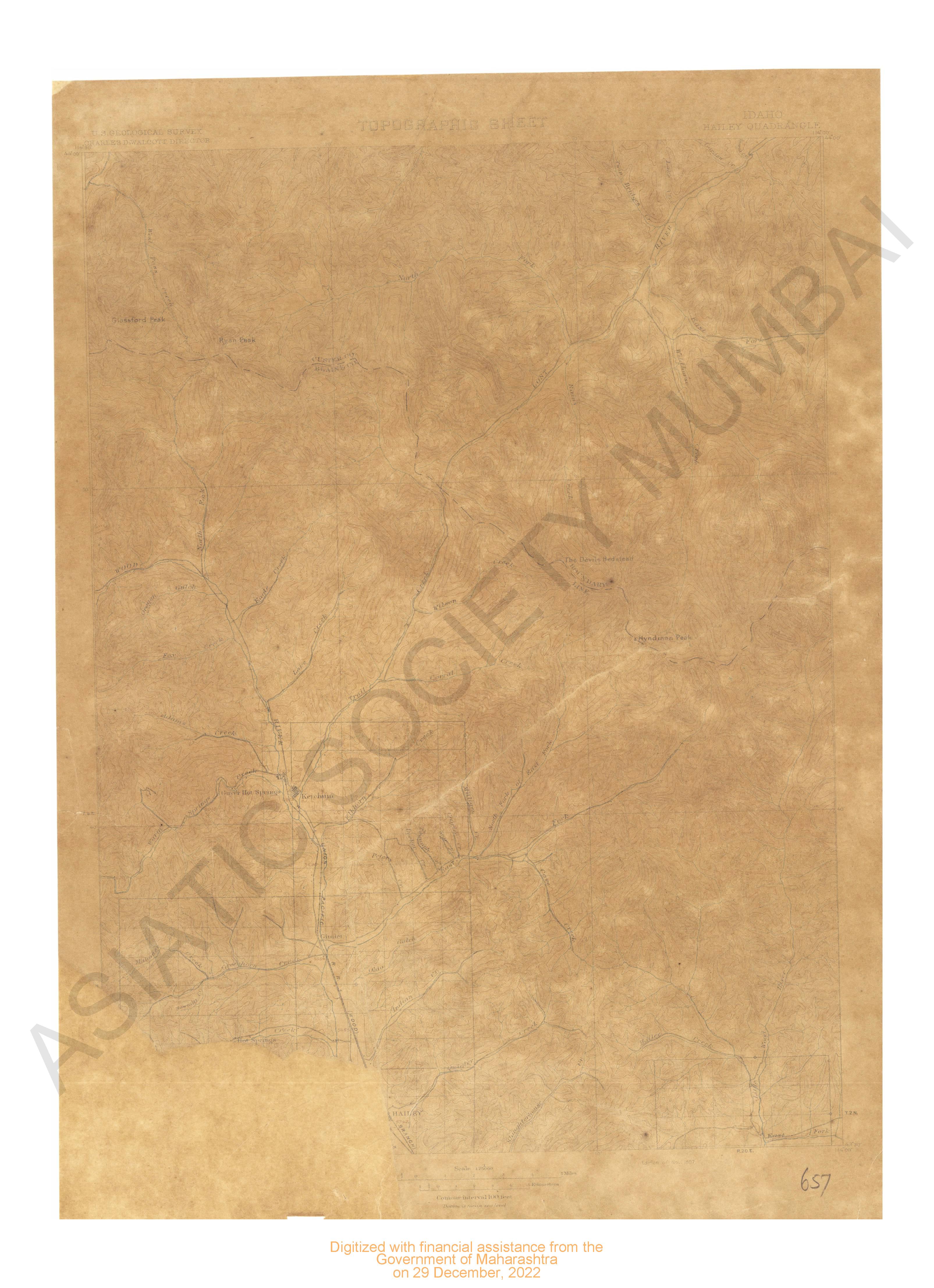
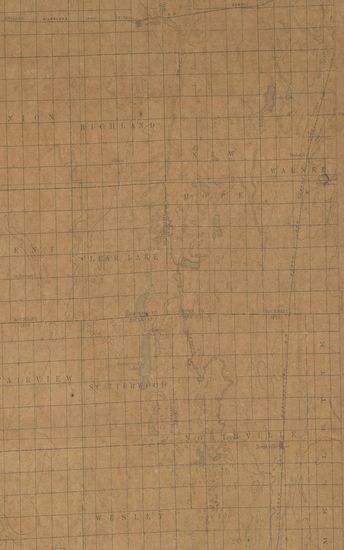
North Dakota Tower Sheet Surveyed in 1894-95
| Resource Type | : | Map |
| Subject | : | Topographic Map |
| Publisher | : | Scale [5:20] Contour Interval 20 Feet |
| Place of Publication | : | Scale |
| Language | : | English |
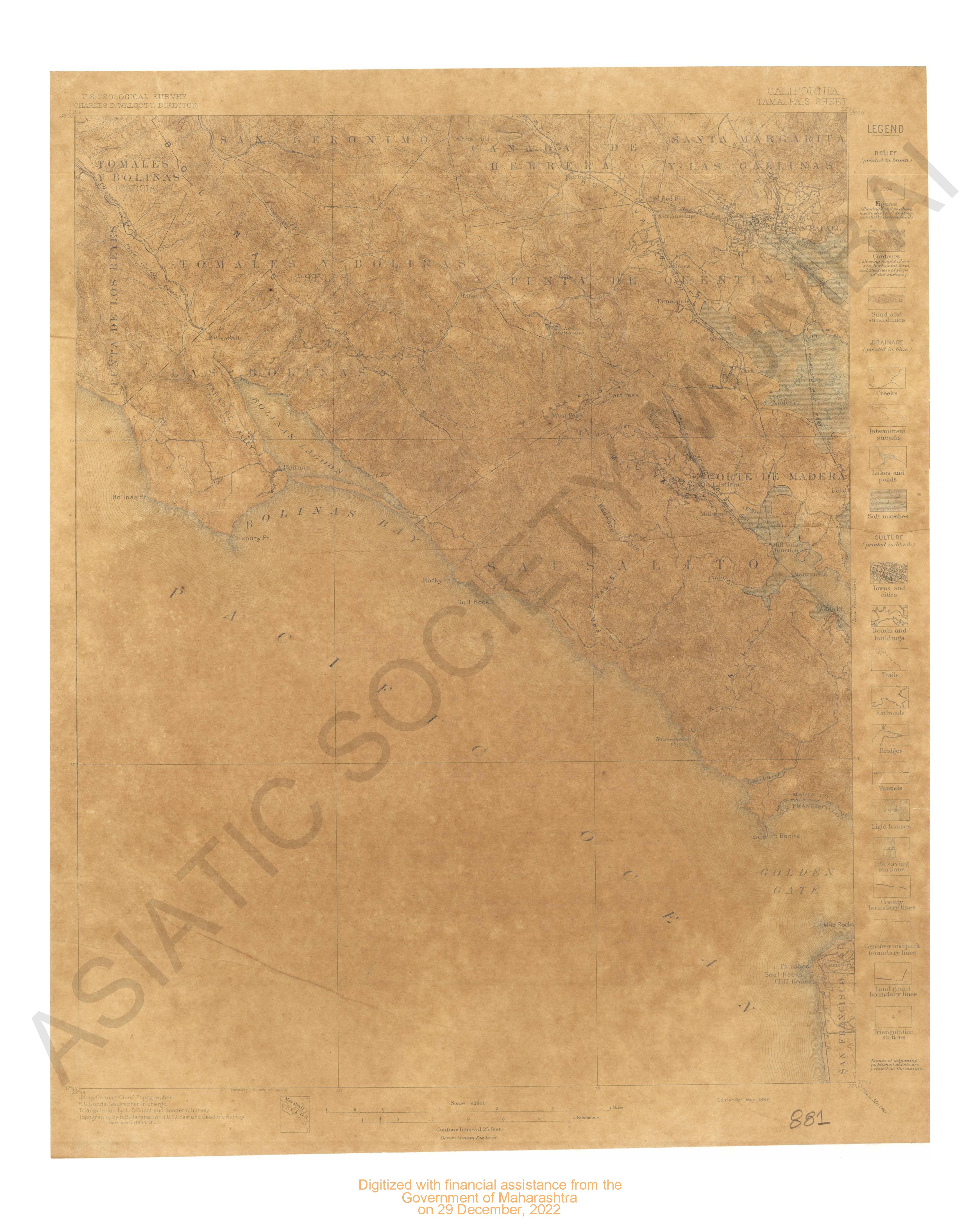
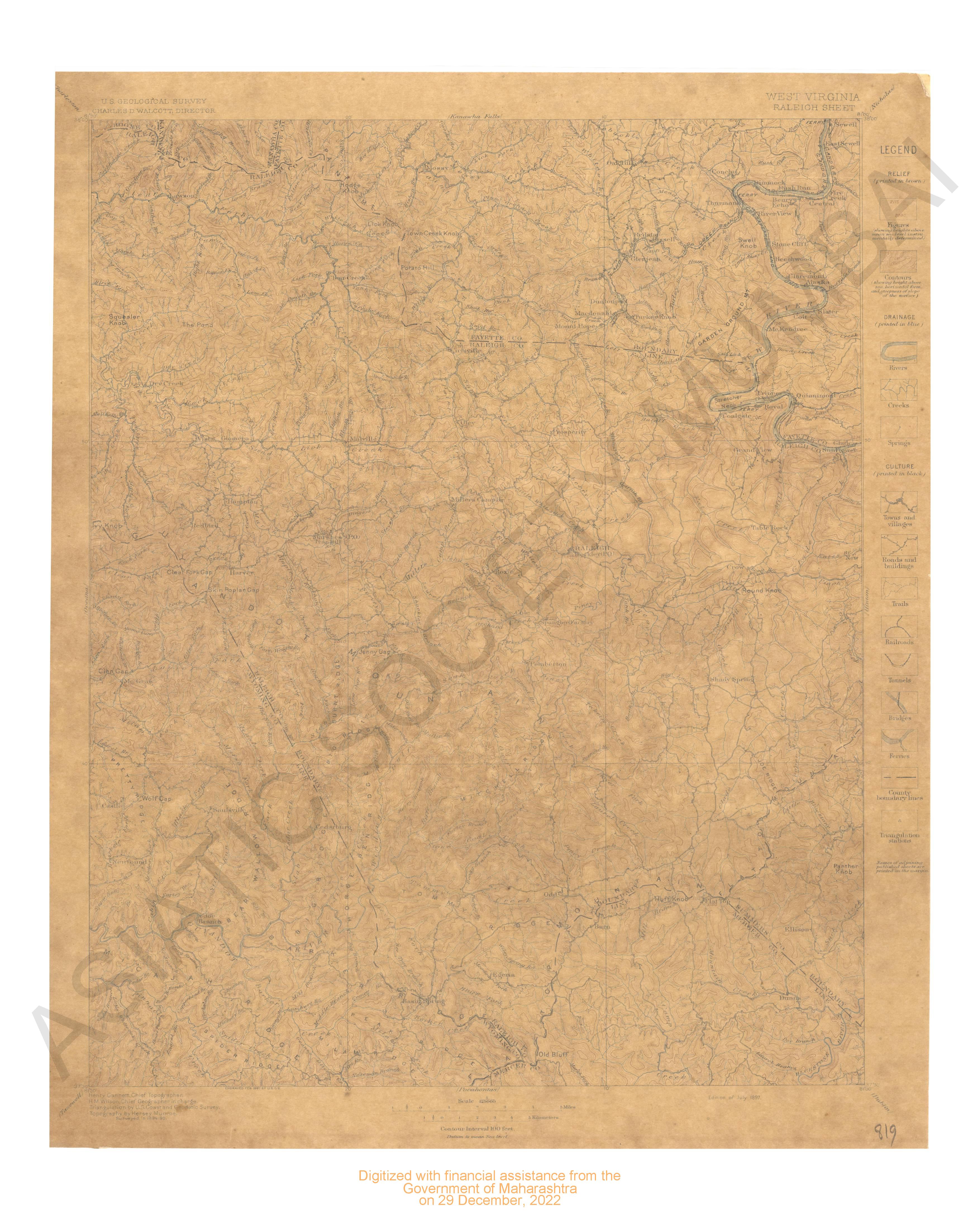
| Notes/Description | : | Relief (printed in brown), Contours (showing height above sea horizontal form, and steepness of slope of the surface), Depression Contour, Drainage (printed in blue), Rivers, Intermittent Streams, Lakes and ponds, Culture(printed in black), Roads and buildings, Towns and villages, Railroads, County Boundary lines, Township boundary lines, U.S.Township and section lines, Road and Boundary line Coincident. Names of adjoining published sheets are printed on the margin Datum is mean sea level |
| Pages/Folios | : | 1 |
| Identifier | : | MAP_0759 |
| Digitization Sponsor | : | Government of Maharashtra |
Other Similar Items
-
- 226 Views

-
- 2 Views
-
- 29 Views
-
- 75 Views
- General Report on the Operations of the Survey of India ...
- Year: 1895
- Author: India (British). Survey Department; Thuillier, He et al.
-
- 104 Views
-
- 2 Views
-
- 197 Views
-
- 72 Views
- Report on the Administration of the Local Boards in the ...
- Year: 1896
- Author: Bombay Presidency
-
- 82 Views
- Administration Report of Military Works of the Public W ...
- Year: 1895
- Author: Bombay Presidency
-
- 103 Views
- Record of the Proceedings of the Municipal Corporation, ...
- Year: 1894
- Author: Bombay (India, British). Municipal Department; Ba et al.
-
- 84 Views

- Report on the Administration of the Madras Presidency, ...
- Year: 1895
- Author: Madras Presidency (India, British)
-
- 77 Views
- Report on the Administration of the Hyderabad Assigned ...
- Year: 1893
- Author: Hyderabad (India, British)