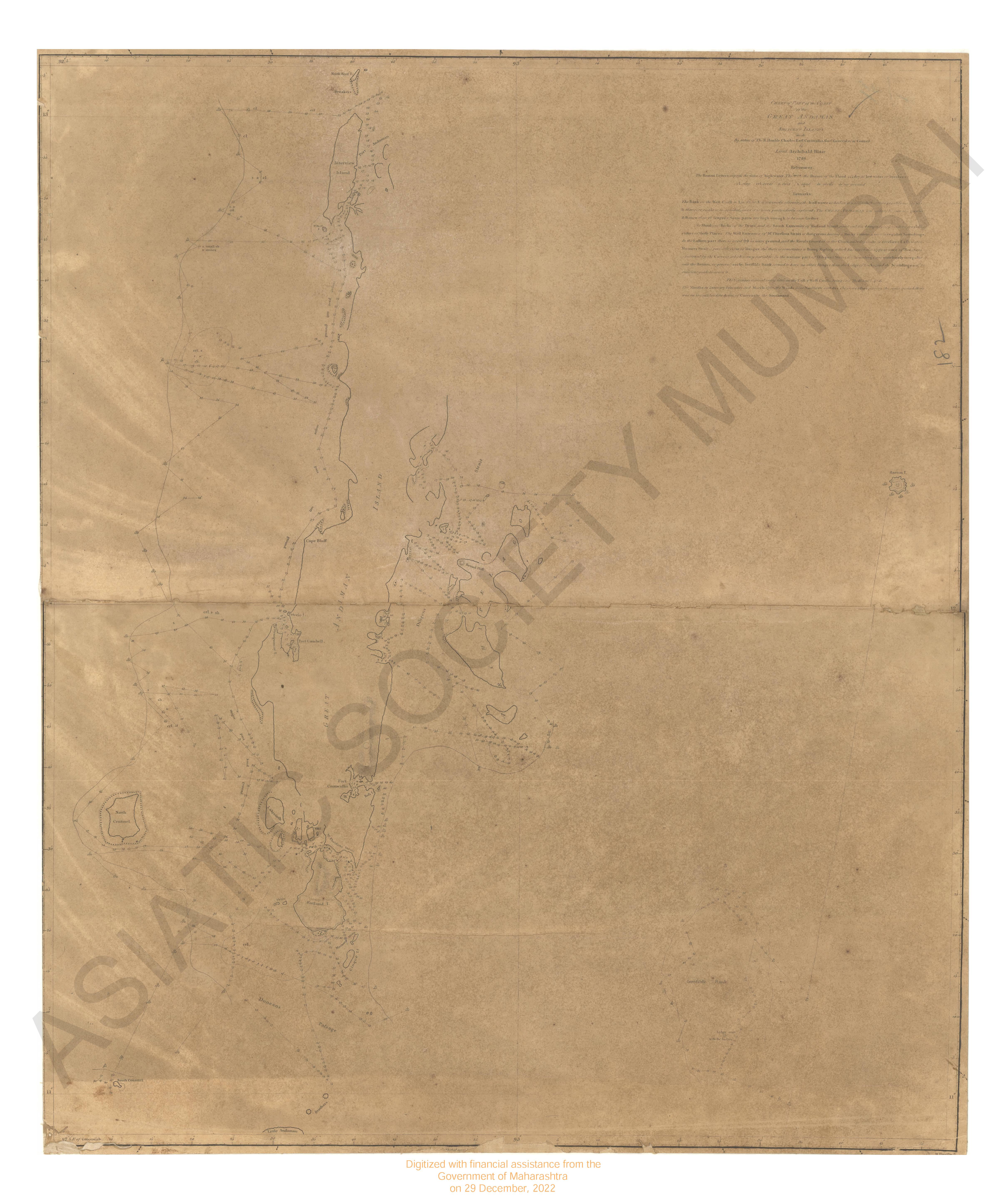
Chart of Part of the Coast of the Great Andaman and Adjacent Islands.
| Resource Type | : | Map |
| Subject | : | Topographic Map |
| Language | : | English |
| Pages/Folios | : | 1 Map |
| Identifier | : | MAP_0182B |
| Digitization Sponsor | : | Government of Maharashtra |
| File Size | : | 3.3 M.B. |
Other Similar Items
-
-
- Account of a Voyage of Discovery to the West Coast of C ...
- Year: 1818
- Author: Hall, Basil Capt.; Clifford, H. J.
-
- An Authentic Account of an Embassy from the King of Gre ...
- Year: 1798
- Author: Earl of Macartney; Gower, Erasmus Sir; Staunton, et al.
-
- An Authentic Account of an Embassy from the King of Gre ...
- Year: 1797
- Author: Earl of Macartney; Gower, Erasmus Sir; Staunton, et al.
-
- An Authentic Account of an Embassy from the King of Gre ...
- Year: 1798
- Author: Earl of Macartney; Gower, Erasmus Sir; Staunton, et al.
-
- An Authentic Account of an Embassy from the King of Gre ...
- Year: 1798
- Author: Earl of Macartney; Gower, Erasmus Sir; Staunton, et al.
-
- An Authentic Account of an Embassy from the King of Gre ...
- Year: 1798
- Author: Earl of Macartney; Gower, Erasmus Sir; Staunton, et al.
-
- A Voyage of Discovery to the North Pacific Ocean; in wh ...
- Year: 1804
- Author: Broughton, William Robert
-
- A Voyage Towards the South Pole,Performed in the Year ...
- Year: 1825
- Author: Weddell, James
-
- A True and Exact Description of the most Celebrated Eas ...
- Year: 1703
- Author: Baldaeus, Philip
-
- Census of India, 1911, Vol. II, Andaman and Nicobar Isl ...
- Year: 1912
- Author: Lowis, R. F.; India. Census Commissioner
-
- Census of India, 1931 The Andaman and Nicobar Island Pa ...
- Author: M. C. C. Bonington
