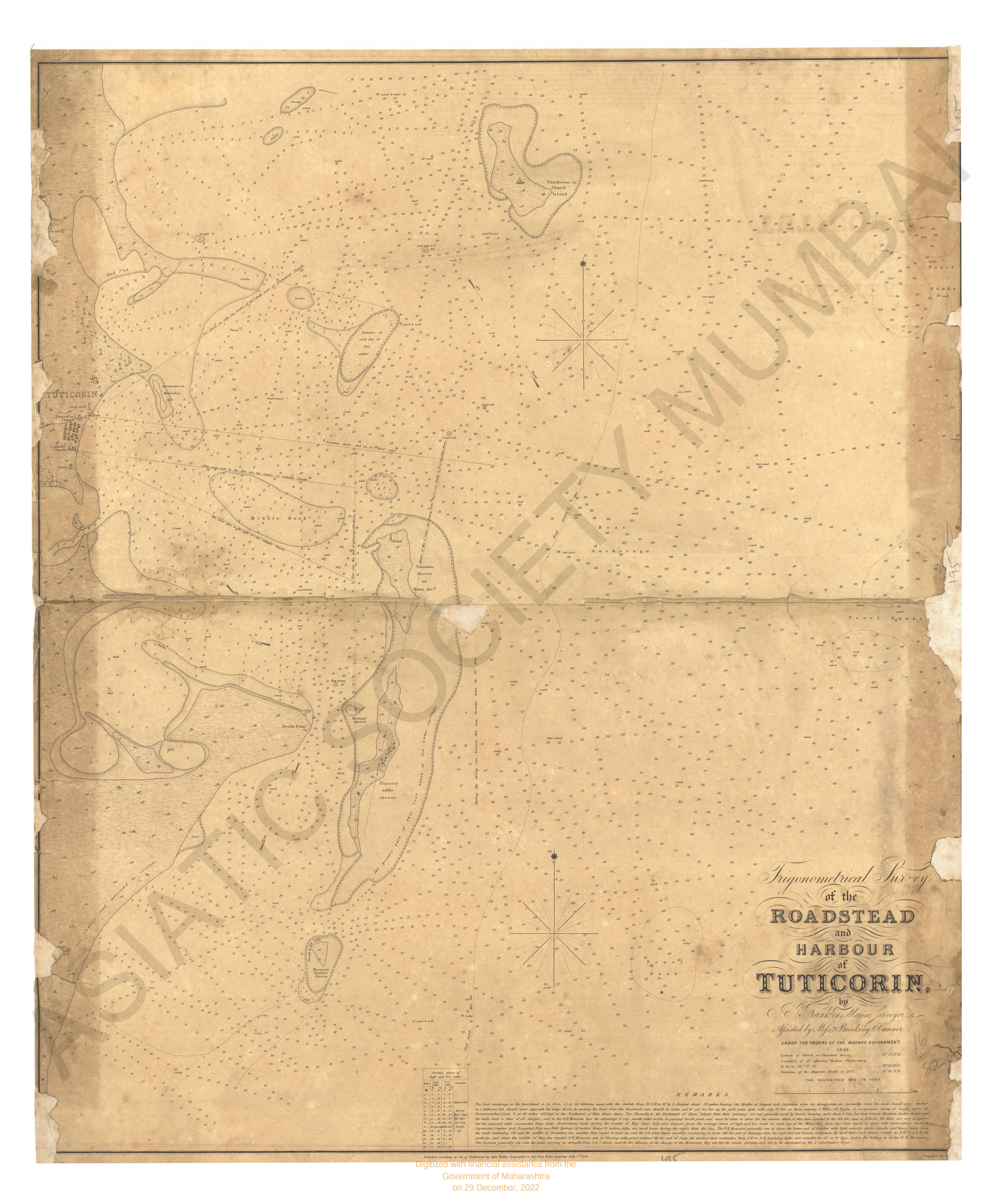
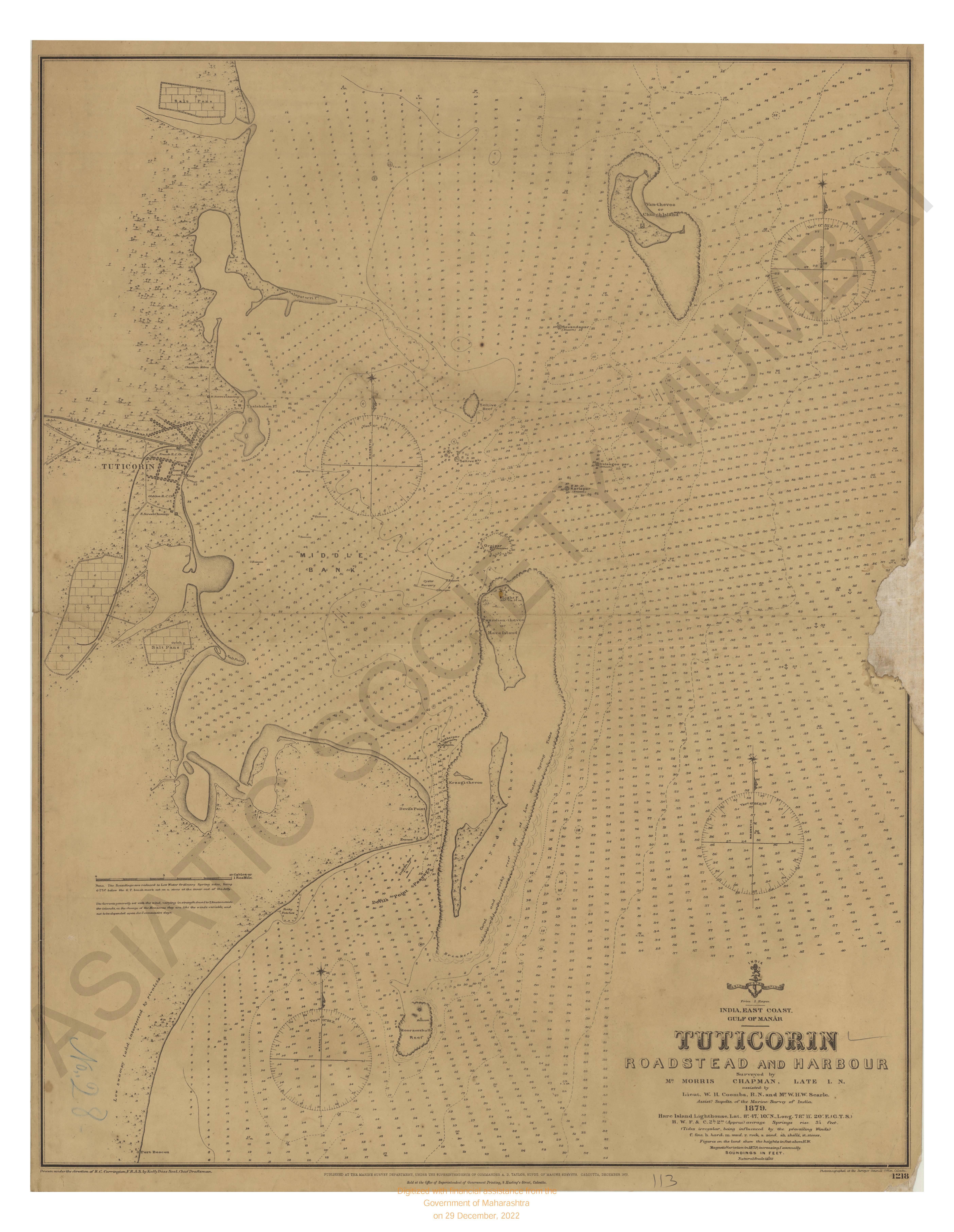
Trigonometrical survey of Roadstead and Harbour of tutticorin, 1842
| Resource Type | : | Map |
| Year/Date of Publication | : | 1846 |
| Subject | : | Topographic Map |
| Publisher | : | John Walker |
| Language | : | English |
| Pages/Folios | : | 1 Map |
| Identifier | : | MAP_0195 |
| Digitization Sponsor | : | Government of Maharashtra |
| File Size | : | 4.8 M.B. |
Other Similar Items
-
-
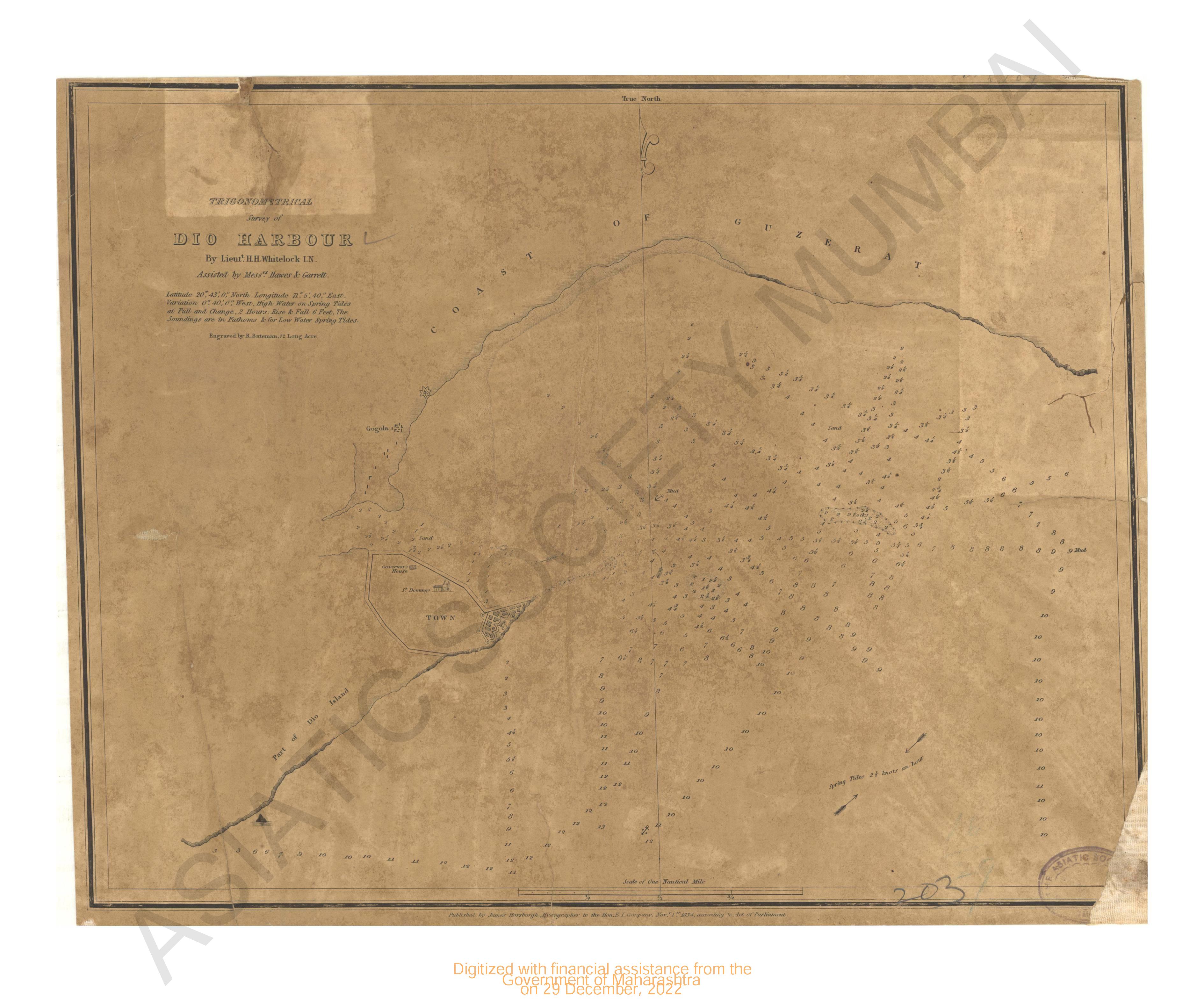
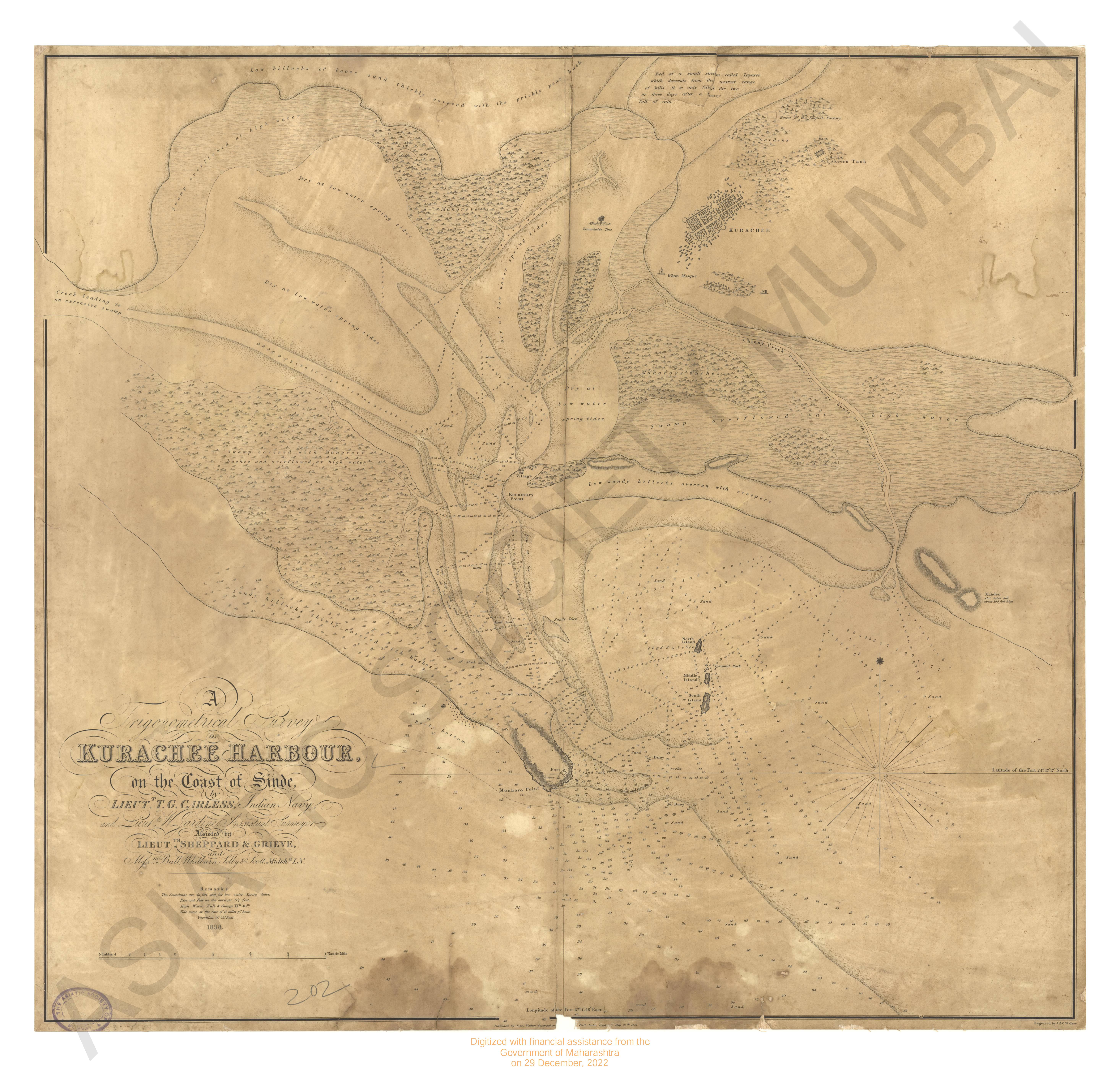
- Trigonometrical survey of Dio harbour
- Year: 1834
-
-

-
- Reports and Official Letters to the Kaitakushi; Abstrac ...
- Year: 1875
- Author: Capron, Horace
-
-
-
- Native Craft a general description of the native craft ...
- Author: Wilson, N. F. J.
-
- General Report on the Operations of the Survey of India ...
- Year: 1880
- Author: India (British). Survey Department; Walker, J. T.
-
- Account of the Operations of the Great Trigonometrical ...
- Year: 1870
- Author: Walker, J. T. Col.
-
- General Report on the Operations of the Survey of India ...
- Year: 1883
- Author: India (British). Survey Department; Walker, J. T.
-
- Engraved and first Superintendent of the Great Trigonom ...
- Author: W. Lambton