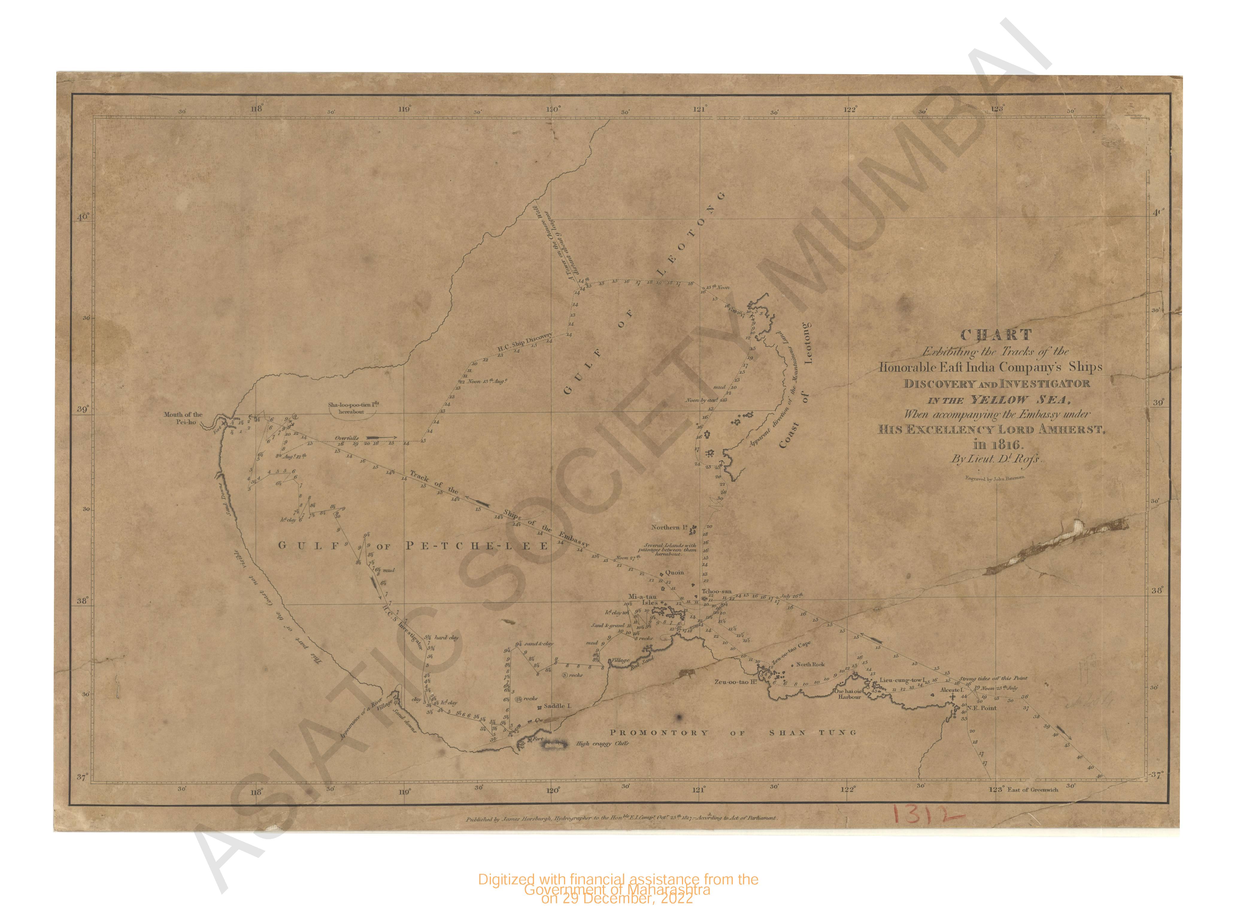
Chart of discovery and investigation in the Yellow Sea in 1816.
| Resource Type | : | Map |
| Year/Date of Publication | : | 1817 |
| Subject | : | Topographic Map |
| Publisher | : | James Harsburg |
| Language | : | English |
| Pages/Folios | : | 1 Map |
| Identifier | : | MAP_01312 |
| Digitization Sponsor | : | Government of Maharashtra |
| File Size | : | 1.6 M.B. |
Other Similar Items
-
- An Authentic Account of an Embassy from the King of Gre ...
- Year: 1798
- Author: Earl of Macartney; Gower, Erasmus Sir; Staunton, et al.
-
- An Authentic Account of an Embassy from the King of Gre ...
- Year: 1797
- Author: Earl of Macartney; Gower, Erasmus Sir; Staunton, et al.
-
- An Authentic Account of an Embassy from the King of Gre ...
- Year: 1798
- Author: Earl of Macartney; Gower, Erasmus Sir; Staunton, et al.
-
- An Authentic Account of an Embassy from the King of Gre ...
- Year: 1798
- Author: Earl of Macartney; Gower, Erasmus Sir; Staunton, et al.
-
- An Authentic Account of an Embassy from the King of Gre ...
- Year: 1798
- Author: Earl of Macartney; Gower, Erasmus Sir; Staunton, et al.
-
- On the Coasts of Cathay and Cipango Forty Years Ago: A ...
- Year: 1902
- Author: Blakeney, William; Bedwell, F le Breton (Illus.)
-
- Navigantium atque Itinerantium Bibliotheca; or, a Compl ...
- Author: Harris, John
-
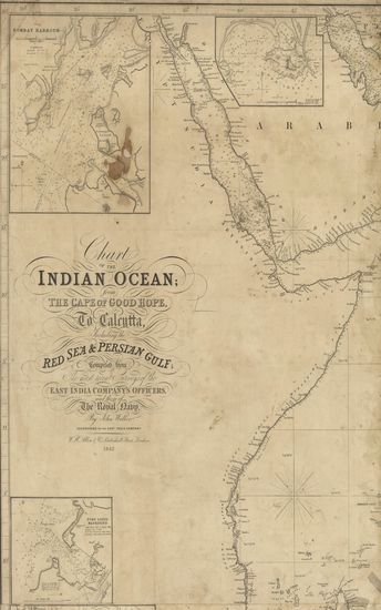
- Chart of the Indian Ocean from the Cape of Good Hope, t ...
- Year: 1842
- Author: Walker, John
-
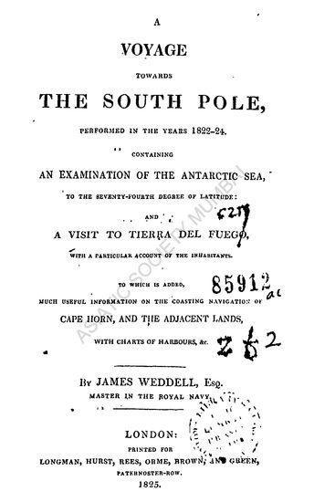
- A Voyage Towards the South Pole,Performed in the Year ...
- Year: 1825
- Author: Weddell, James
-
- Discoveries of the French in 1768 and 1769 to the South ...
- Year: 1791
- Author: Fleurieu, Charles Pierre Claret
-
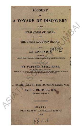
- Account of a Voyage of Discovery to the West Coast of C ...
- Year: 1818
- Author: Hall, Basil Capt.; Clifford, H. J.
-
- Navigantium atque Itinerantium Bibliotheca; or, a Compl ...
- Year: 1764
- Author: Harris, John