-
-
-
-
-
-
-
-
-
-
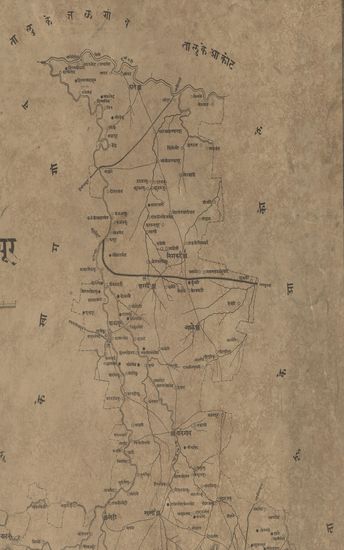
- Map of the Godhra Panchmahal's district
- Year: 1868
-
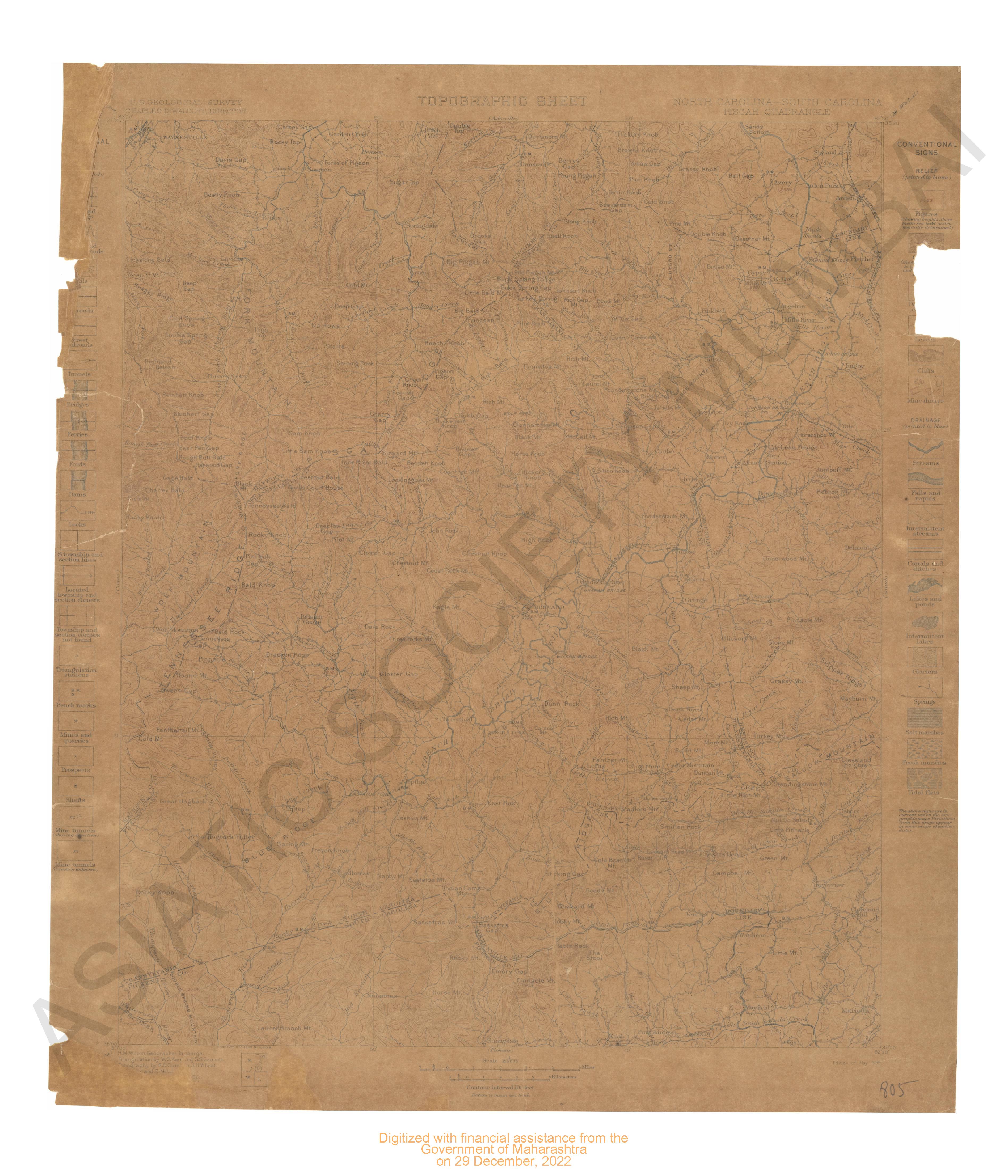
- North Carolina : South Carolina Pigah quadrangle surveyed in 1886-88 & 1895-96.
- Year: 1899
- Subject: USGS topography
- Publisher: US geogological survey
- Language: English
- Place of Publication: Washinton
-
- Iowa Chariton Quadrangle Surveyed in 1915 in Cooperation with the State of Iowa
- Year: 1918
- Subject: Topographic Map
- Publisher: Washington US Geological Survey 1918
- Language: English
- Place of Publication: Washington
-
- Michigan (Iron Co.) Crystal Fall Quadrangle Surveyed in 1891 & 1895
- Year: 1899
- Subject: Topographic Map
- Publisher: Washington US Geological Survey 1899
- Language: English
- Place of Publication: Washington
-
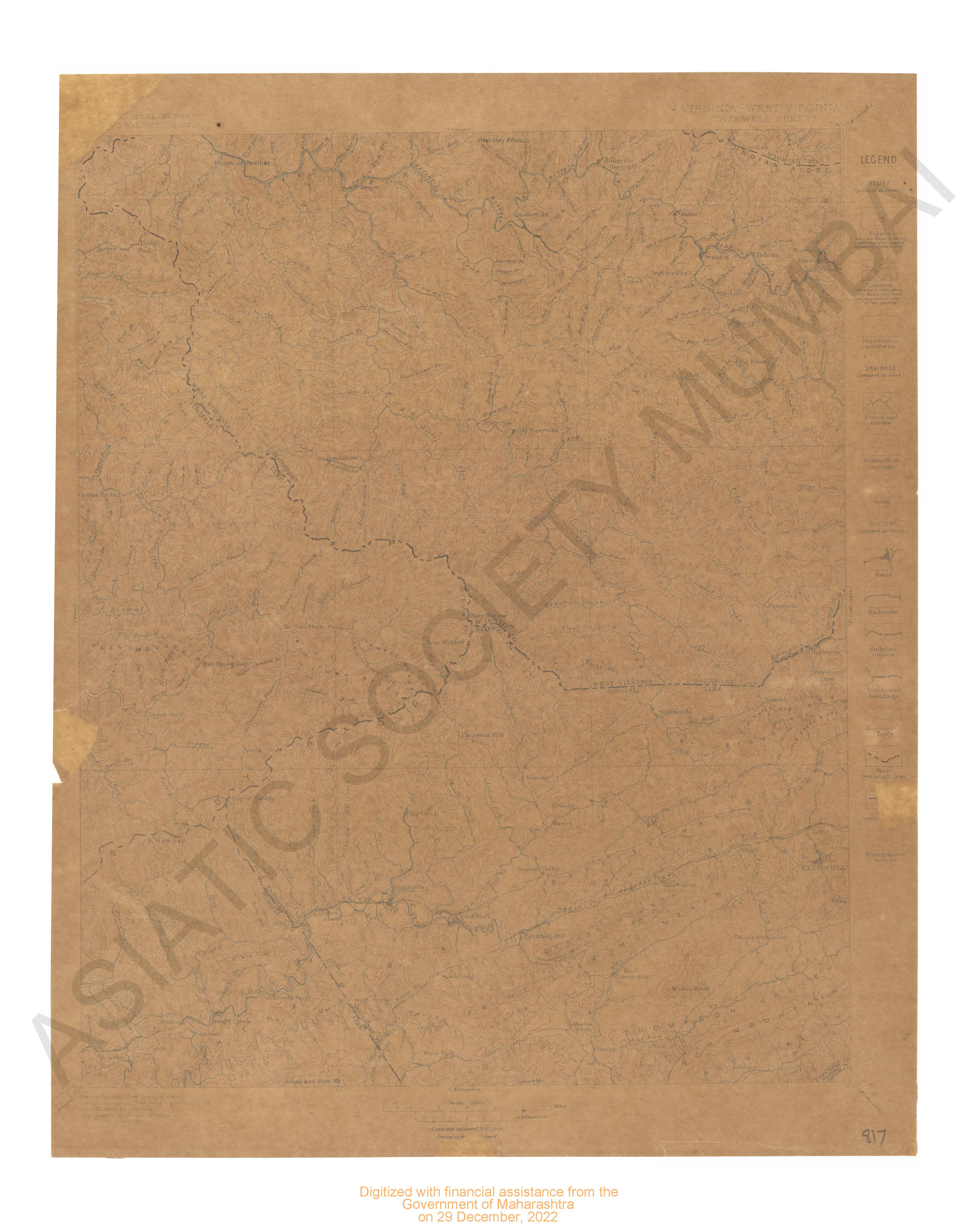
- Virginia-West Virginia Tazewell sheet surveyed
- Year: 1897
- Subject: USGS topography
- Publisher: US geogological survey
- Language: English
- Place of Publication: Washinton
-
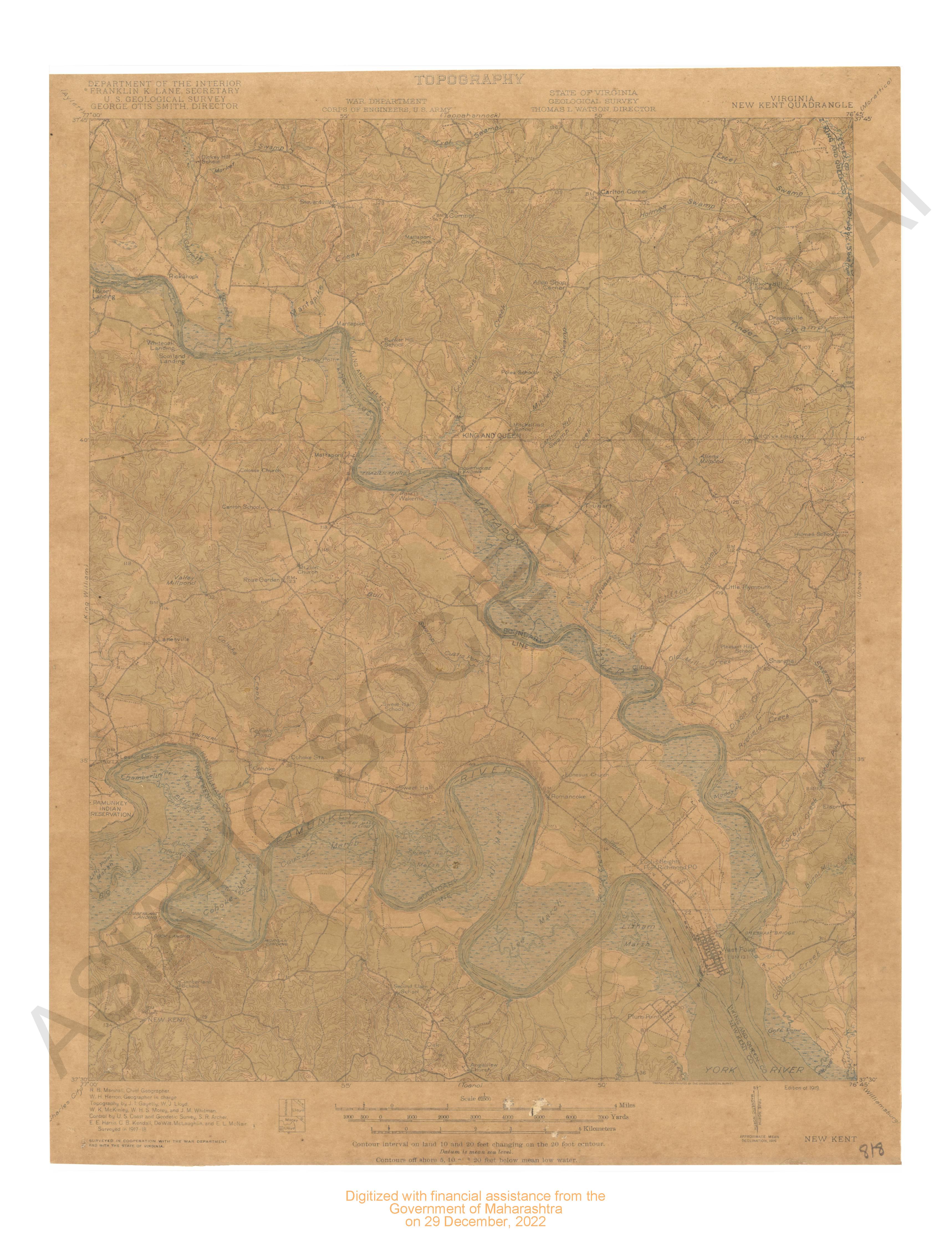
- Virginia - New Kent quadrangle surveyed 1917-18 surveyed cooperation with war dept & state of Virginia.
- Year: 1919
- Subject: USGS topography
- Publisher: US geogological survey
- Language: English
- Place of Publication: Washinton
-
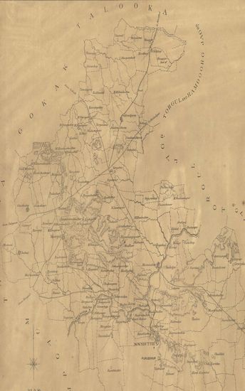
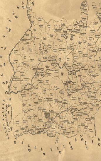
- Map of the old Kod Taluka of the Dharwar Collectorate.
- Year: 1878
- Subject: Topographic Map
- Publisher: Poona (Pune) Government Photozincographic Office 1878
- Language: English
- Place of Publication: Poona (Pune)
-
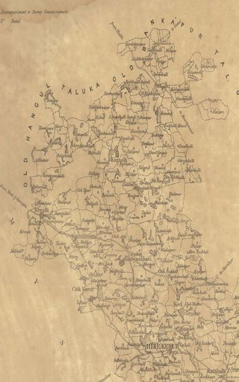
- Map of the Parasgad taluka of the Belgaum Collectorate.
- Year: 1877
- Subject: Topographic Map
- Publisher: Poona (Pune) Government Photozincographic Office 1877
- Language: English
- Place of Publication: Poona (Pune)
-
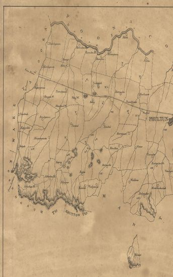
- Map of Phultan Jagheer of the Sattara Collectorate.
- Year: 1875
- Subject: Topographic Map
- Publisher: Poona (Pune) Government Photozincographic Office 1875
- Language: English
- Place of Publication: Poona (Pune)
-
- तालुका बाळापूर जिल्हा वराड - Map of the Taluka Balaapur District Varad.
- Year: 1874
- Publisher: Poona (Pune) Photozincographed Government Office 1874
- Language: English
- Place of Publication: Poona (Pune)
-
- Map of the Godhra Panchmahal's district
- Year: 1868
- Subject: Topographic Map
- Publisher: Poona (Pune) Government Photozincographic Office 1868
- Language: English
- Place of Publication: Poona (Pune)