-
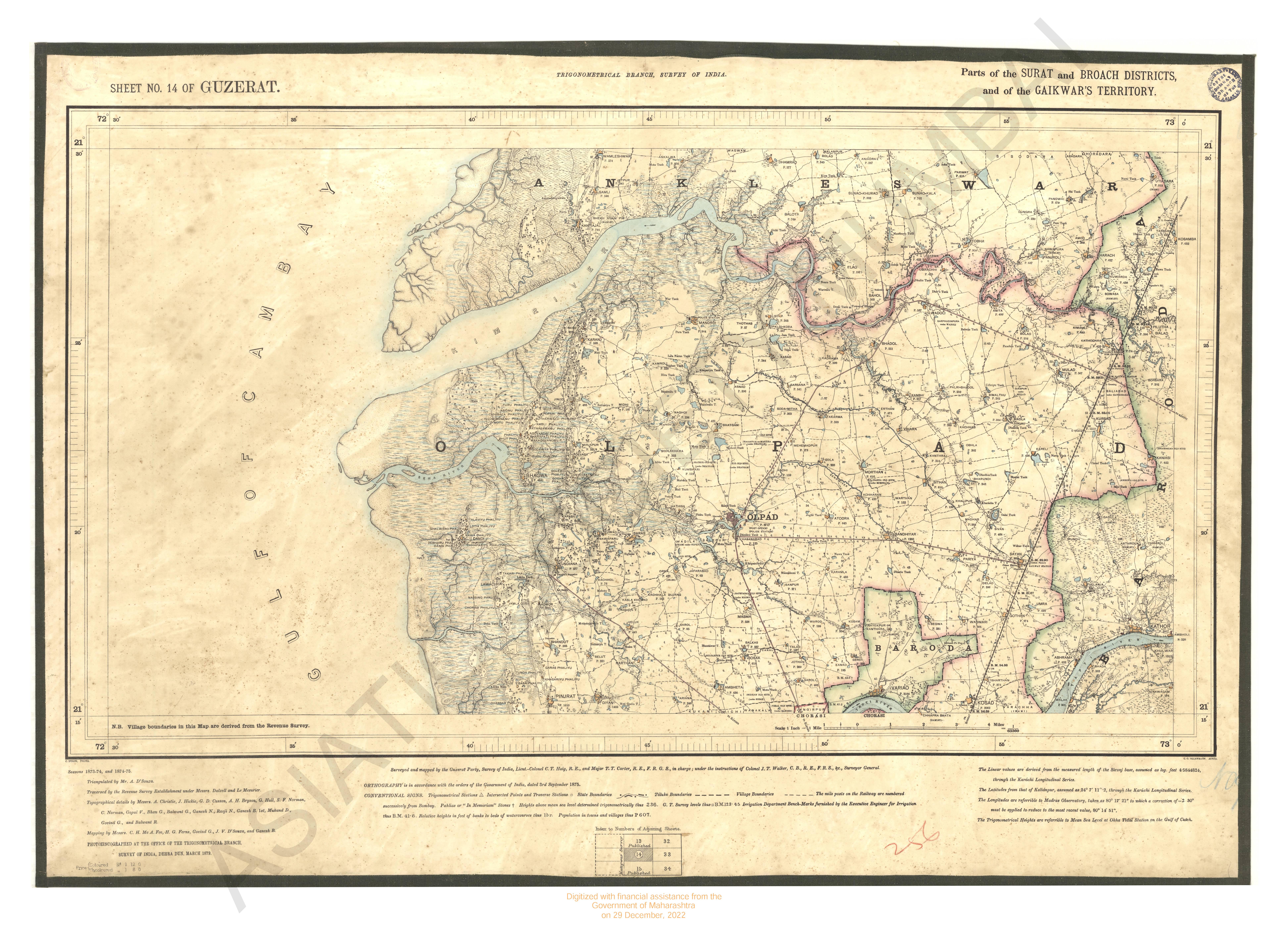
- Gujarat : parts of Surat and Broach district and of the Gaikwars territory season 1873-74 and 1874-75 Trignometrical branch Survey of India
- Year: 1879
- Subject: Topographic Map
- Publisher: Office of the Trigonometrical Branch, Survey of India
- Language: English
- Place of Publication: Dehradun
-
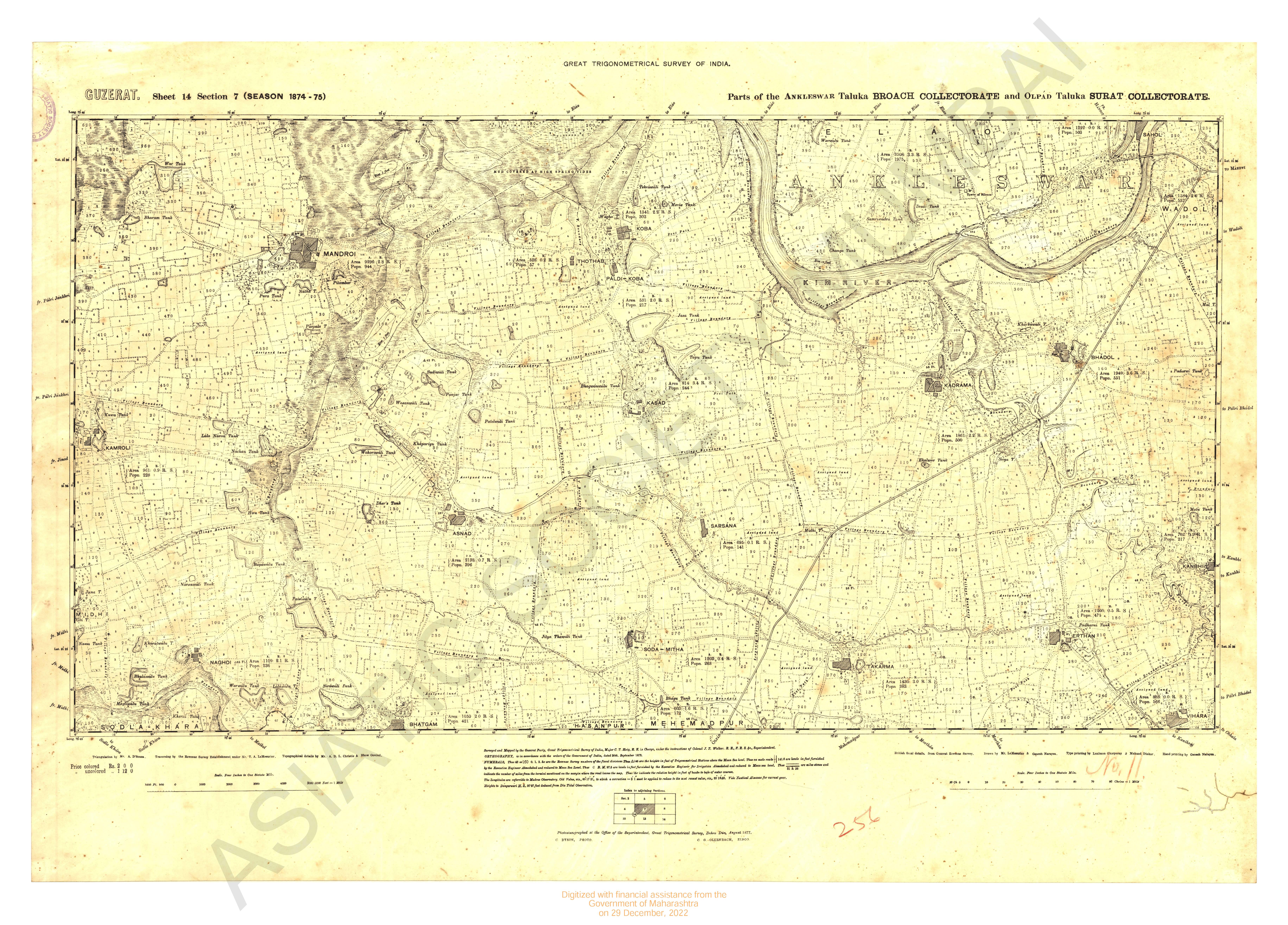
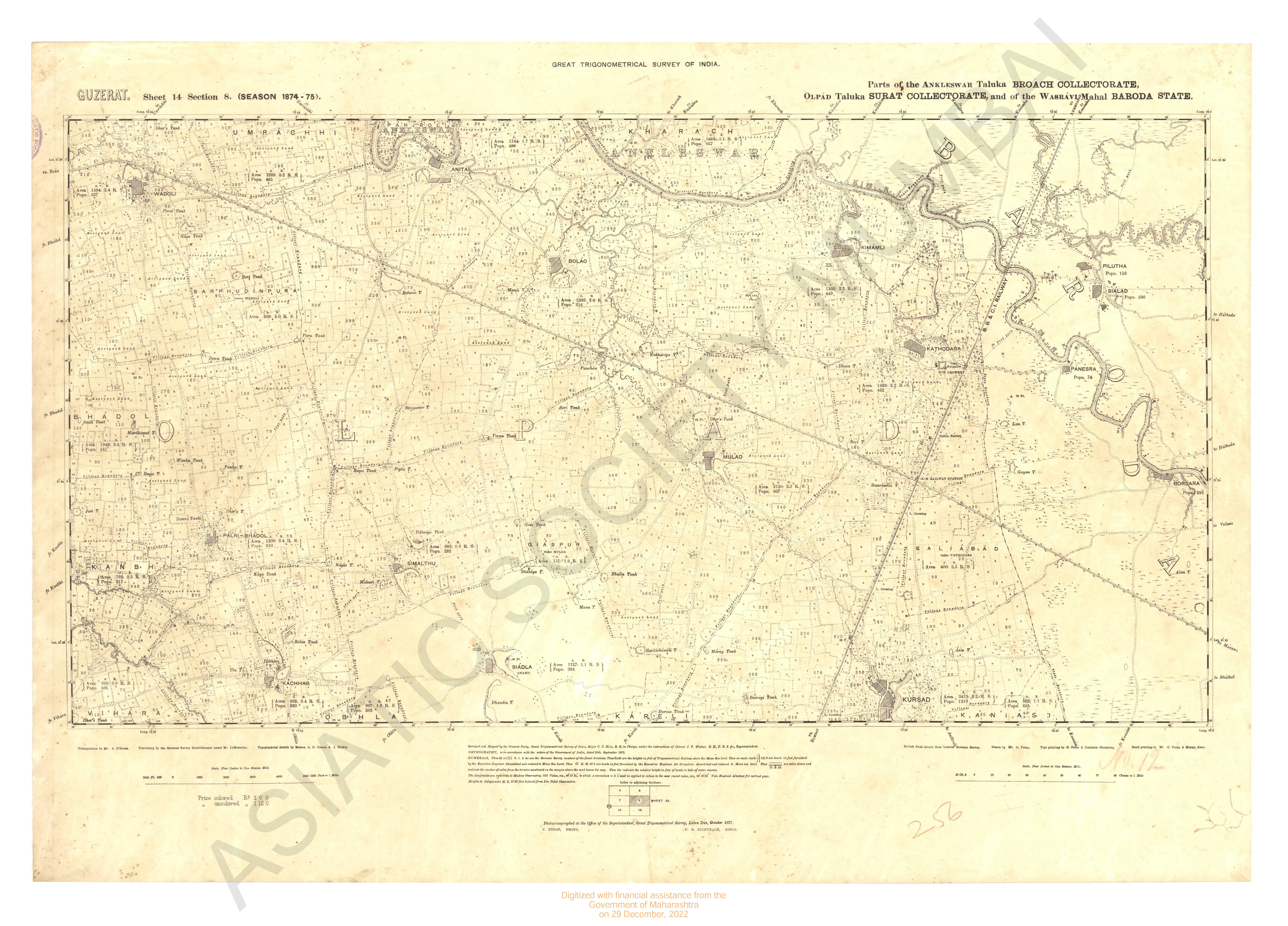
- Gujarat : parts of Ankleshwar talukar Broach collectorate and of Olpad taluka surat collectorate season 1874-75 Great Trignomentrical survey of
- Year: 1877
- Subject: Topographic Map
- Publisher: G.T. survey office
- Language: English
- Place of Publication: Dehradun
-
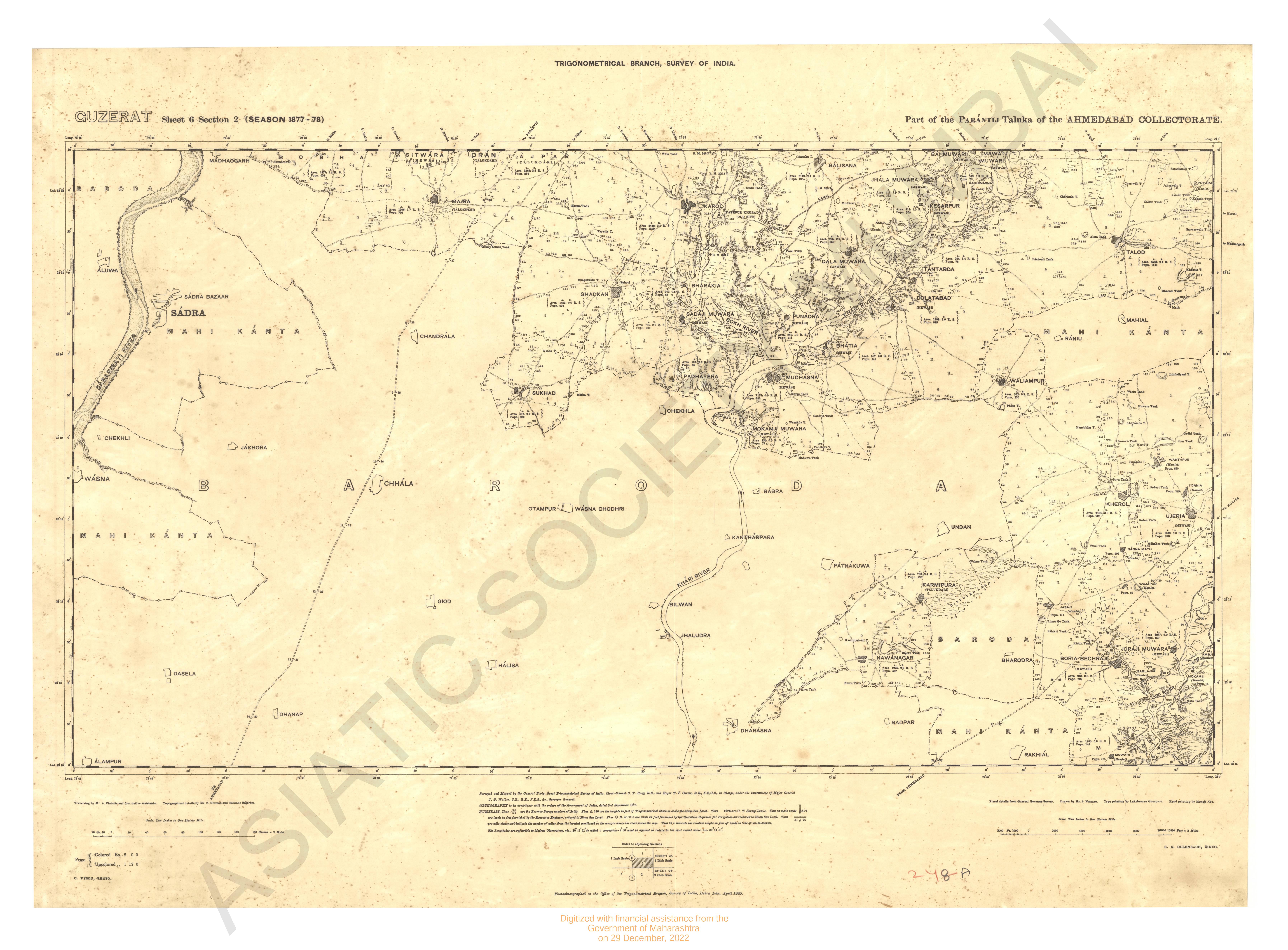
- Gujarat : parts of the Parantij taluka of the Ahmedabad collectorate - section 2 (season 1877-78)
- Year: 1881
- Subject: Topographic Map
- Publisher: Office of the Trigonometrical Branch, Survey of India
- Language: English
- Place of Publication: Dehradun
-
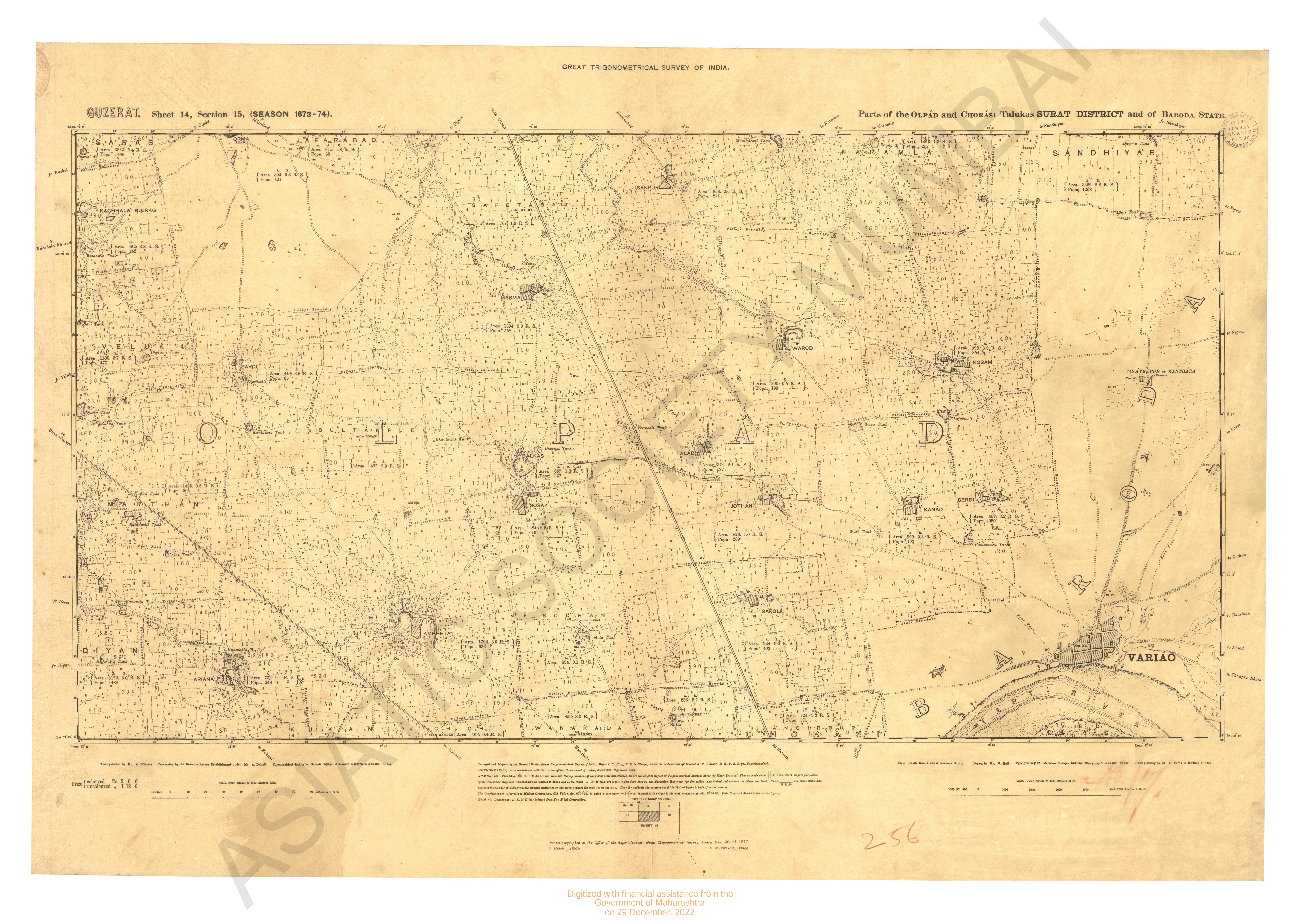
- Gujarat : parts of the olpad taluka of the Surat collectorate season 1874-75 Great Trignomentrial survey of India
- Year: 1877
- Subject: Topographic Map
- Publisher: G.T. survey office
- Language: English
- Place of Publication: Dehradun
-

- Gujarat : city and part of the Ahmedabad and Kapadwanj taluka of the kaira collectorate
- Year: 1881
- Subject: Topographic Map
- Publisher: Office of the Trigonometrical Branch, Survey of India
- Language: English
- Place of Publication: Dehradun
-
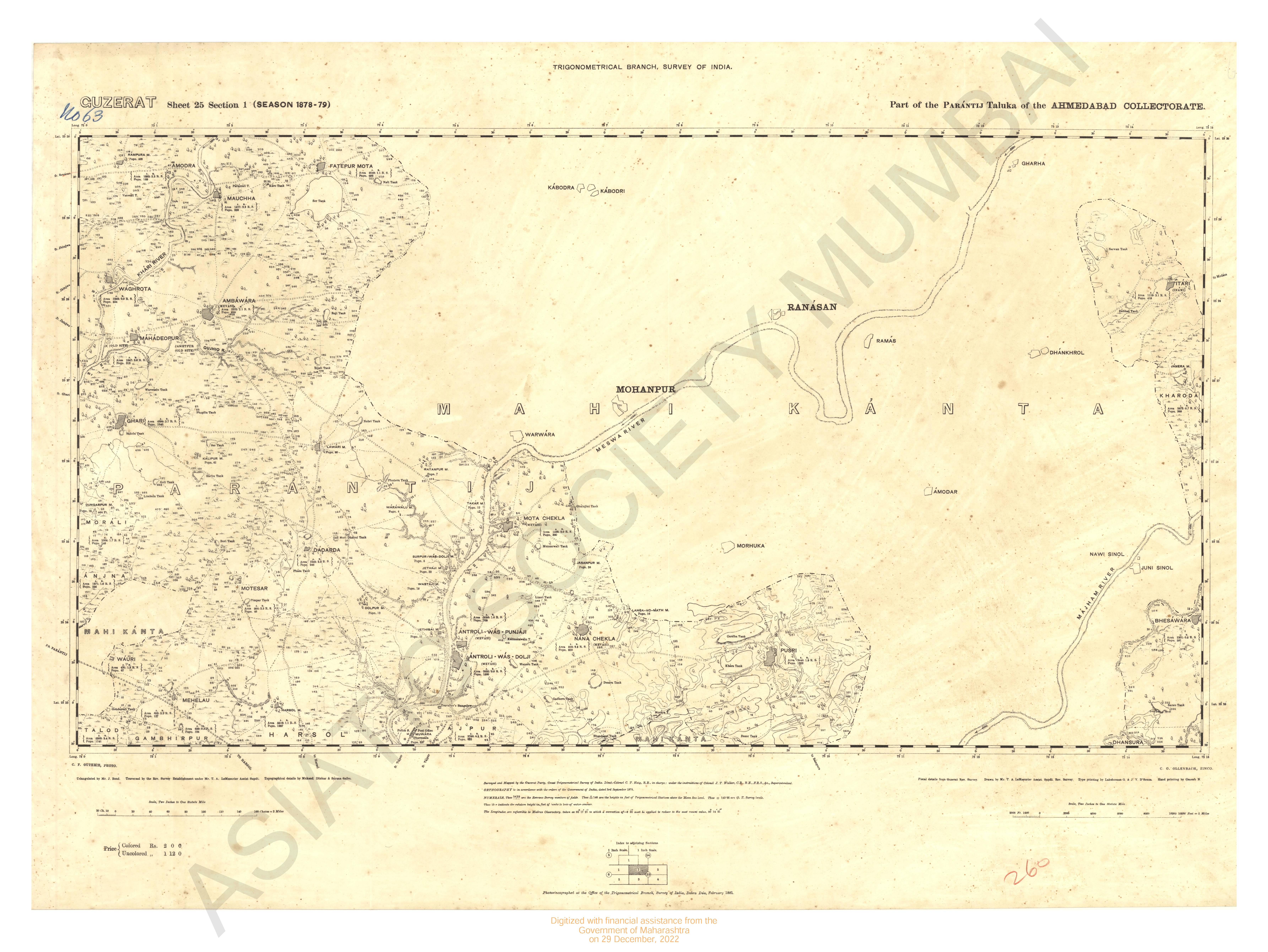
- Gujarat : parts of the Paranjit taluka of the collectorate Season 1879-79
- Year: 1881
- Subject: Topographic Map
- Publisher: Office of the Trigonometrical Branch, Survey of India
- Language: English
- Place of Publication: Dehradun
-
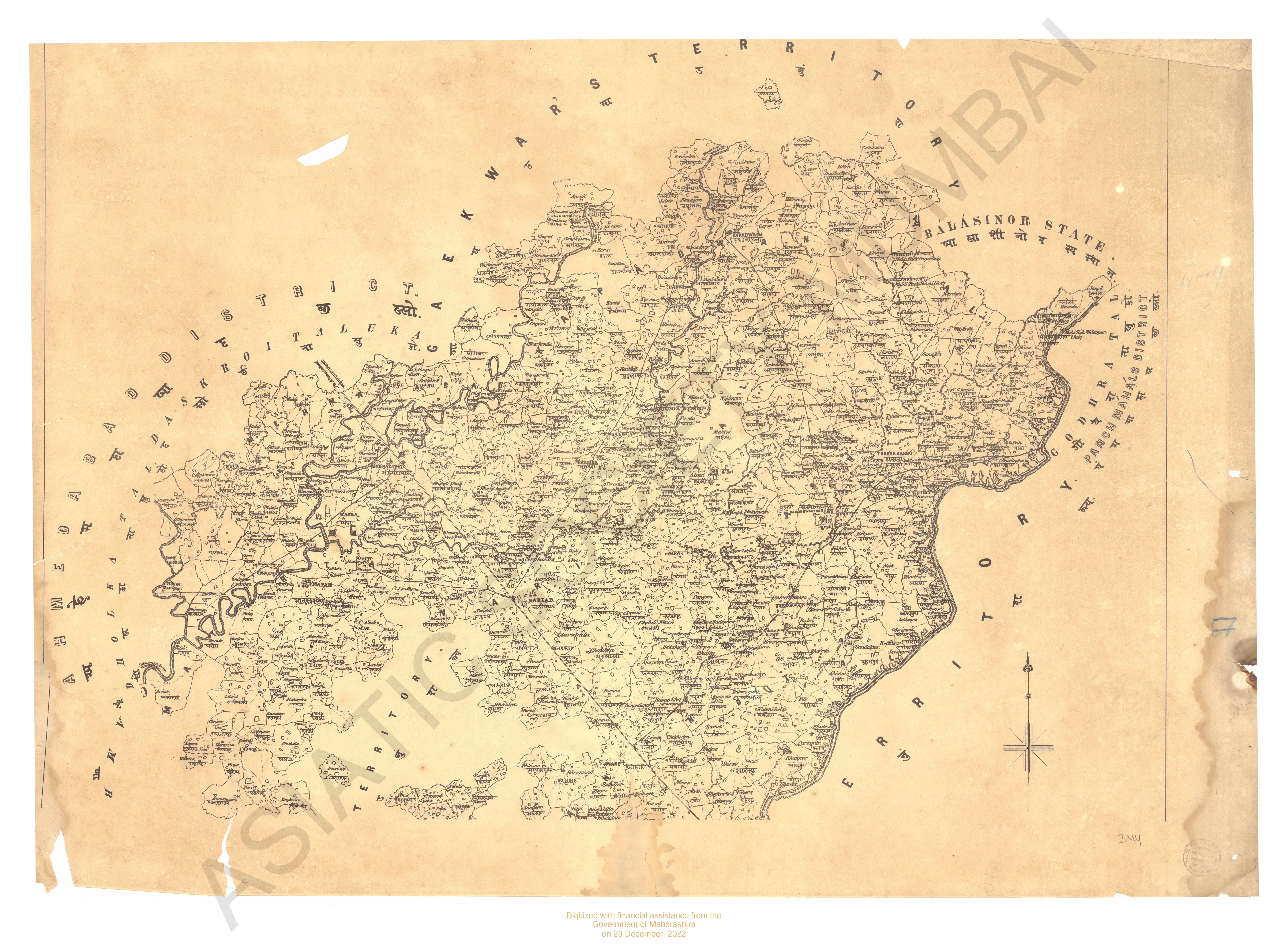
- Map of the Ahmedabad district, Gaekwars Territorys.
- Year: 1878
- Subject: Topographic Map
- Publisher: Government Office
- Language: English
- Place of Publication: Poona (Pune)
-
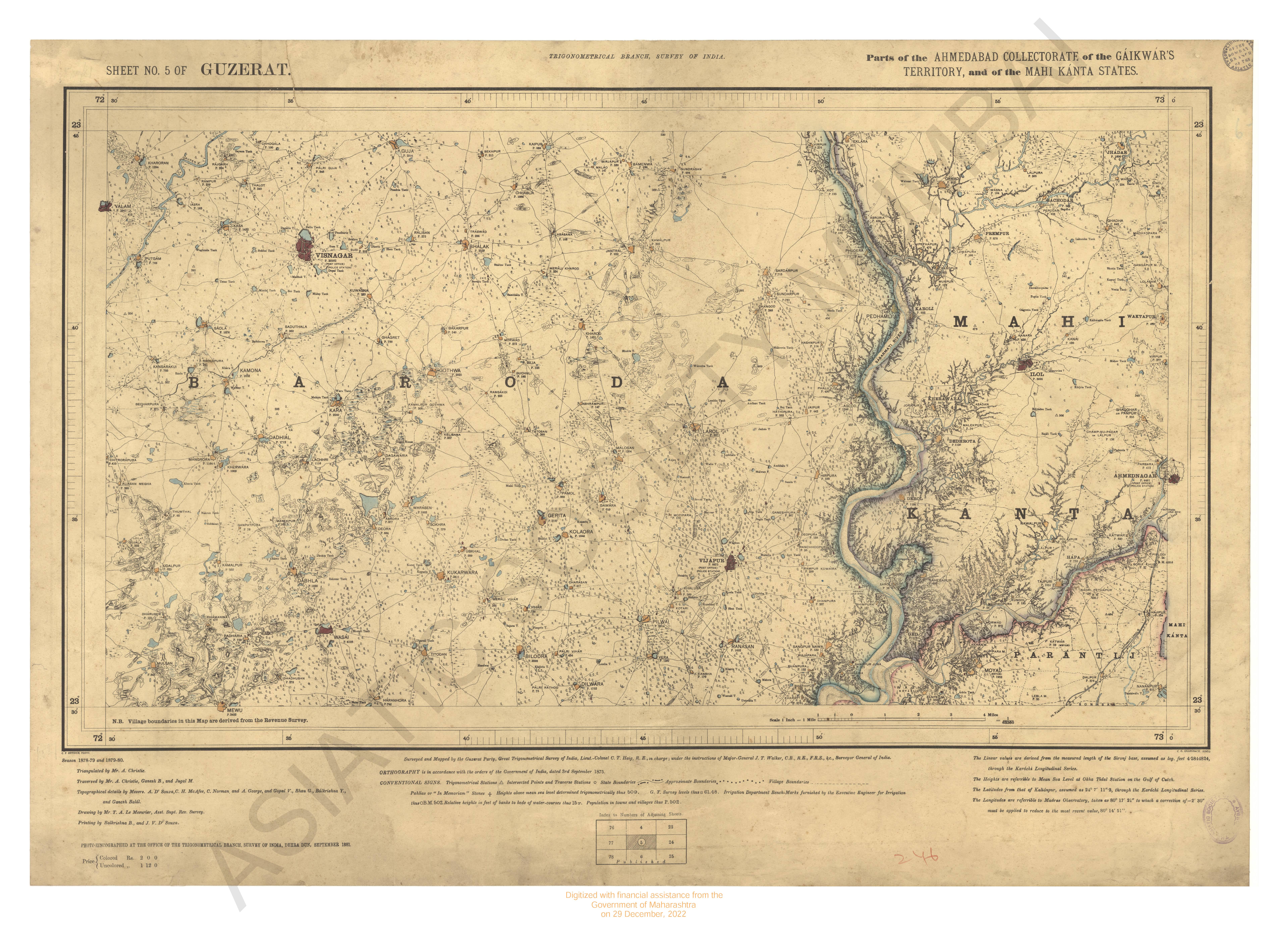
- Gujarat : parts of the Ahmedabad collectorate, of the Gaiwar, Territory and of the Mahikanta states. Trigonometrical branch survey of India. Season 1878-79 and 1879-80
- Year: 1881
- Subject: Topographic Map
- Publisher: Office of the Trigonometrical Branch, Survey of India
- Language: English
- Place of Publication: Dehradun
-
- Gujarat : parts of Ankleshwar talukar Broach collectorate and of Olpad taluka surat collectorate & of Wasravi Mahal Baroda State Season 1874- Great Trignomentrical Survey of India
- Year: 1877
- Subject: Topographic Map
- Publisher: G.T. survey office
- Language: English
- Place of Publication: Dehradun
-
- Survey from False point Palmiras to Sauger roads; including the track frequested by ships to the sea reefs and exhibiting the tails of the reef Sauger Sand, the eastern Channel & Lacam's Channel by Capt W. Maxfield.
- Year: 1819
- Subject: Topographic Map
- Publisher: James Horsburgh
- Language: English