-
-
-

-
-
-
-
-
-
-
-
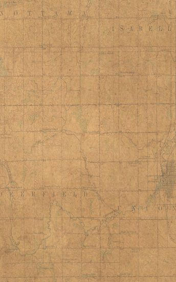
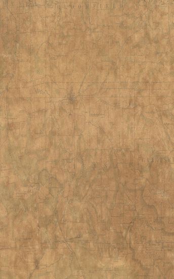
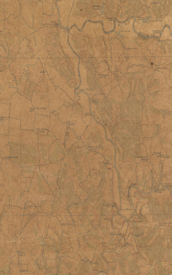
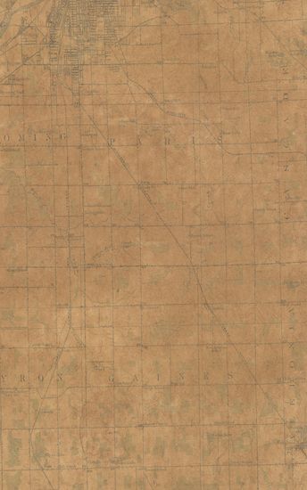
- Michingan (Isabella county) Mount Pleasant Surveyed Coo ...
- Year: 1919
- Author: Herron, W.H.
-
-
-
-
-
-
-
-
-
-
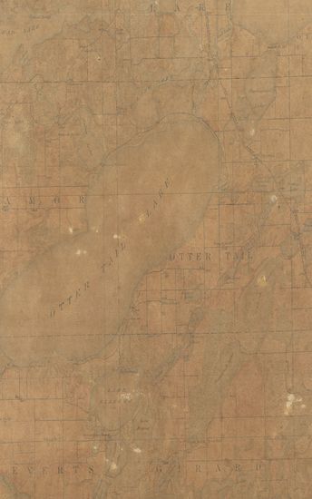
- Minnesota (Otter Tail County) Battle Lake Quadrangle Surveyed in 1911-12 in Cooperation with the State of Minnesota
- Year: 1914
- Subject: Topographic Map
- Publisher: Washington US Geological Survey 1914
- Language: English
- Place of Publication: Washington
-
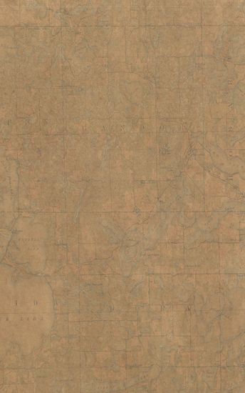
- Minnesota Vergas Quadrangle Surveyed in 1912 in Cooperation with the State of Minnesota
- Year: 1915
- Subject: Topographic Map
- Publisher: Washington US Geological Survey 1915
- Language: English
- Place of Publication: Washington
-
- Texas (Harris county) Swanson Quadrangle Surveyed in 1915-1916 in Cooperation with the Harris County
- Year: 1919
- Subject: Topographic Map
- Publisher: Washington US Geological Survey 1919
- Language: English
- Place of Publication: Washington
-
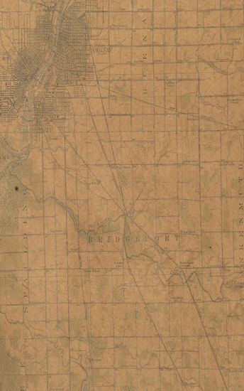
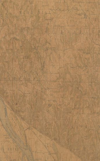
- Michigan Saginaw Quadrangle Surveyed in 1916 in Cooperation with the State of Michigan
- Year: 1919
- Subject: Topographic Map
- Publisher: Washington US Geological Survey 1919
- Language: English
- Place of Publication: Washington
-
- Illinois Vienna Quadrangle Surveyed in 1916 in Cooperation with the State of Illinois
- Year: 1919
- Subject: Topographic Map
- Publisher: Washington US Geological Survey 1919
- Language: English
- Place of Publication: Washington
-
- Montana (Choutea county) Kremlin Quadrangle Surveyed in 1904
- Year: 1906
- Subject: Topographic Map
- Publisher: Washignton US Geological Survey 1906
- Language: English
- Place of Publication: Washignton
-
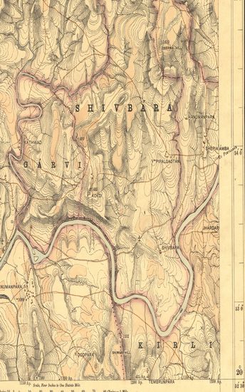
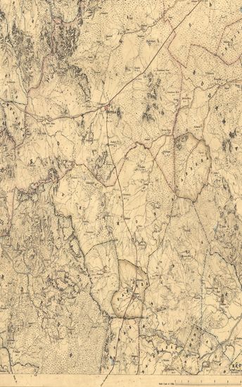
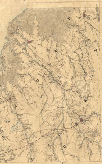
- Guzerat, Section No.7 of Sheet No.49 (Dang Forests) : Parts of the Dang Derbhavti, Dang Shivbara, Dang Garvi, and Dang Kirli, States. 1880-81 and 1881-82
- Year: 1882
- Subject: Topographic Map
- Publisher: Dehradun Office of the Trigonometrical Branch : Survey of India 1882
- Language: English
- Place of Publication: Dehradun
-
- Guzerat, Section No. 5 of Sheet No.49 (Dang Forests) : Parts of the Dang Derbhavati, and Dang Garvi, States
- Year: 1880
- Subject: Topographic Map
- Publisher: Deharadun Office of the Trignometrical branch. Survey Of India 1880-81
- Language: English
- Place of Publication: Deharadun
-
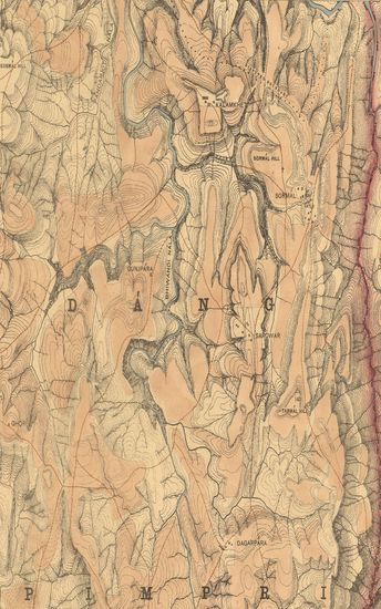
- Guzerat, Section No.9 of Sheet no. 49 (Dang Forestes) : Parts of the Dang Garvi, Dang Pimpri, and Dang Koita States. 1878-79
- Year: 1880
- Subject: Topographic Map
- Publisher: Dehradun Office of the Trigonometrical Branch. Survey Of India 1880
- Language: English
- Place of Publication: Dehradun
-
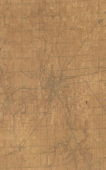
- Illimois-Indiana Danville Quadrangle Surveyed in 1897
- Year: 1899
- Subject: Topographic Map
- Publisher: Washington US Geologocal Survey 1899
- Language: English
- Place of Publication: Washington
-
- Michingan (Isabella county) Mount Pleasant Surveyed Cooperation with the state of Michigan
- Year: 1919
- Author: Herron, W.H.
- Subject: Topographic Map
- Publisher: Washington US Geological Survey 1919
- Language: English
- Place of Publication: Washington
-
- Illinois-Missouri Campbell Hill Quadrangle Surveyed 1915-16 in Cooperation with the state of Illinois & Missouri
- Year: 1918
- Subject: Topographic Map
- Publisher: Washington US Geological Survey 1918
- Language: English
- Place of Publication: Washington
-
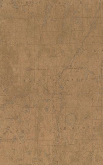
- Minnesota St.Francis Quadrangle Surveyed in 1915-16 in cooperation with the state of Minnesola
- Year: 1919
- Subject: Topographic Map
- Publisher: Washington US Geological Survey 1919
- Language: English
- Place of Publication: Washington
-
- Kentucky Little Muddy Quadrangle Surveyed in 1911 in Cooperation with the State of Kentucky
- Year: 1914
- Subject: Topographic Map
- Publisher: Washington US Geological Survey 1914
- Language: English
- Place of Publication: Washington
-
- Michigan Gand Rapids Quadrangle Surveyed in Cooperation with the State of Michigan
- Year: 1914
- Subject: Topographic Map
- Publisher: Washington US Geological Survey 1914
- Language: English
- Place of Publication: Washington
-
- Kathiawar: Part of Gohelwar. Season 1866-67 & 1868-69. Great Trigonometrical suevey of India.
- Year: 1870
- Subject: Topographic Map
- Publisher: Dehradun Photozincographed at the G.T.S.Office 1870
- Language: English
- Place of Publication: Dehradun
-
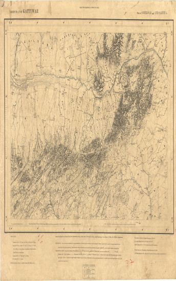
- Kathiawar: Parts of Gohelwar & Und Sarveya, Season 1869-70. Great Trigonometrical survey of India.
- Year: 1871
- Subject: Topographic Map
- Publisher: Dehradun Photozincographed at the G.T.S.Office 1871
- Language: English
- Place of Publication: Dehradun
-
- Kathiawar: Parts Kathiawar, Jhalavad & Halar. Season 1868-69. Great Trigonometrical Survey of India.
- Year: 1884
- Subject: Topographic Map
- Publisher: Dehradun Photozincographed at the G.T.S.Office 1884
- Language: English
- Place of Publication: Dehradun
-
- Kathiawar: Parts of Soruth. Season 1870-71 and 1871-72. Great Trigonometrical Survey of India.
- Year: 1873
- Subject: Topographic Map
- Publisher: Dehradun Photozincographed at the G.T.S.Office 1873
- Language: English
- Place of Publication: Dehradun
-
- Kathiawar: Part of Hallar. Season 1874-75. Great Trigonometrical Survey of India.
- Year: 1875
- Subject: Topographic Map
- Publisher: Dehradun Photozincographed at the G.T.S.Office 1875
- Language: English
- Place of Publication: Dehradun