-
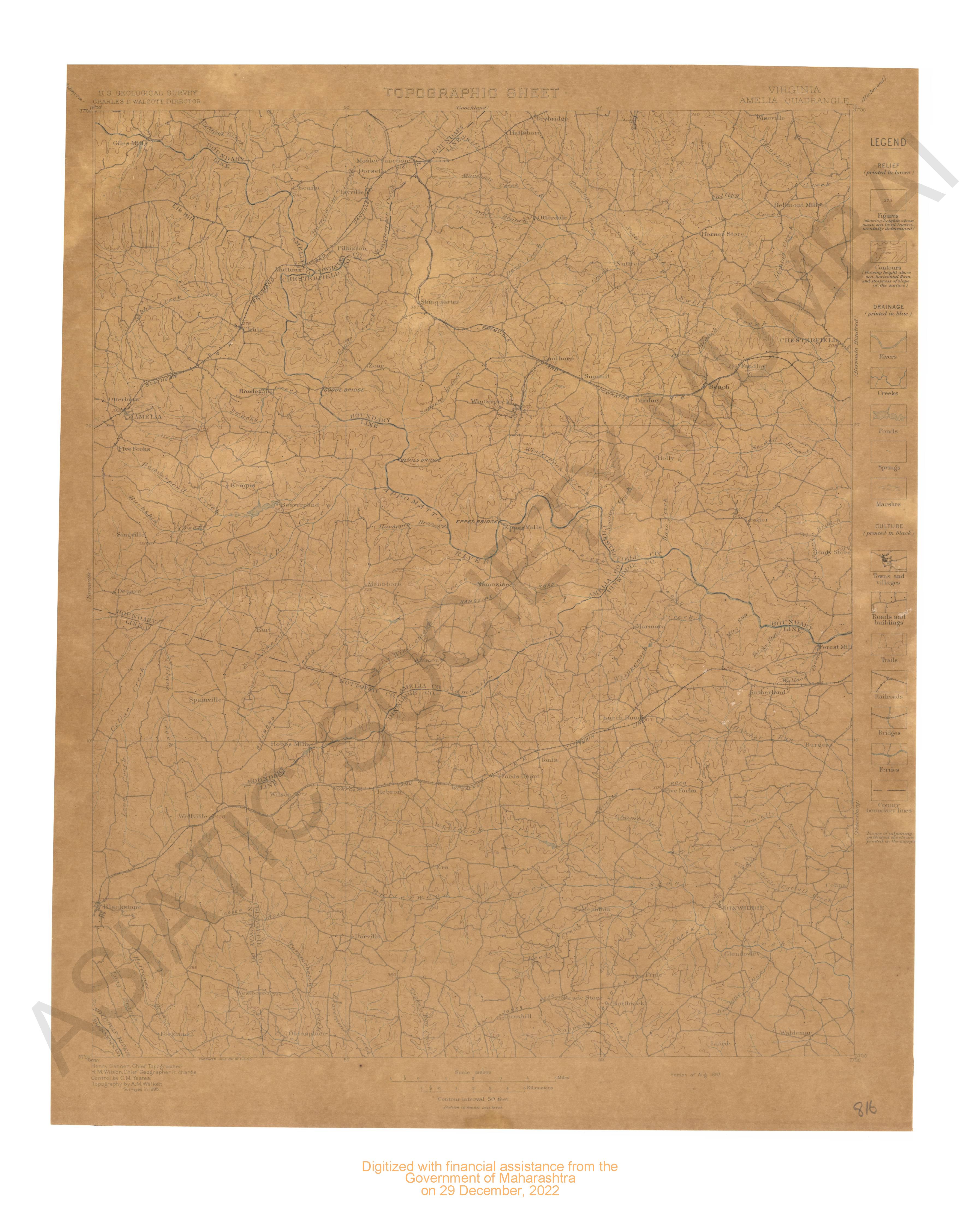
- Virginia Amelia quadrangle surveyed in 1895.
- Year: 1897
-
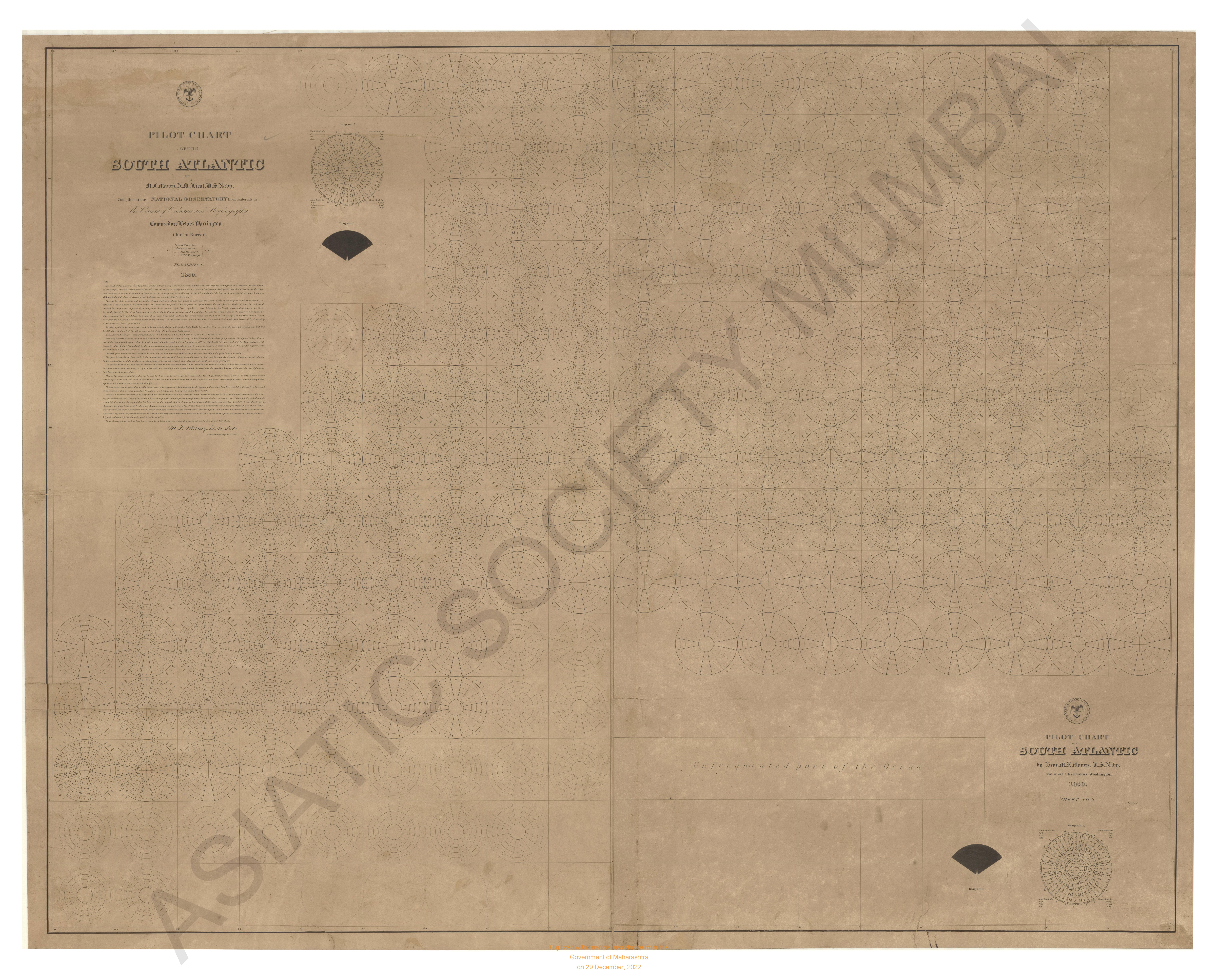
- Pilot chart of the south Atlantic.
- Year: 1850
-
-
-
-
-
-
-
-
-
-
-
-
-
-
-
-
-
-
-
- Virginia Amelia quadrangle surveyed in 1895.
- Year: 1897
- Subject: USGS topography
- Publisher: US geogological survey
- Language: English
- Place of Publication: Washinton
-
- Pilot chart of the south Atlantic.
- Year: 1850
- Subject: Topographic Map
- Publisher: National Observatory
- Language: English
- Place of Publication: Washington
-
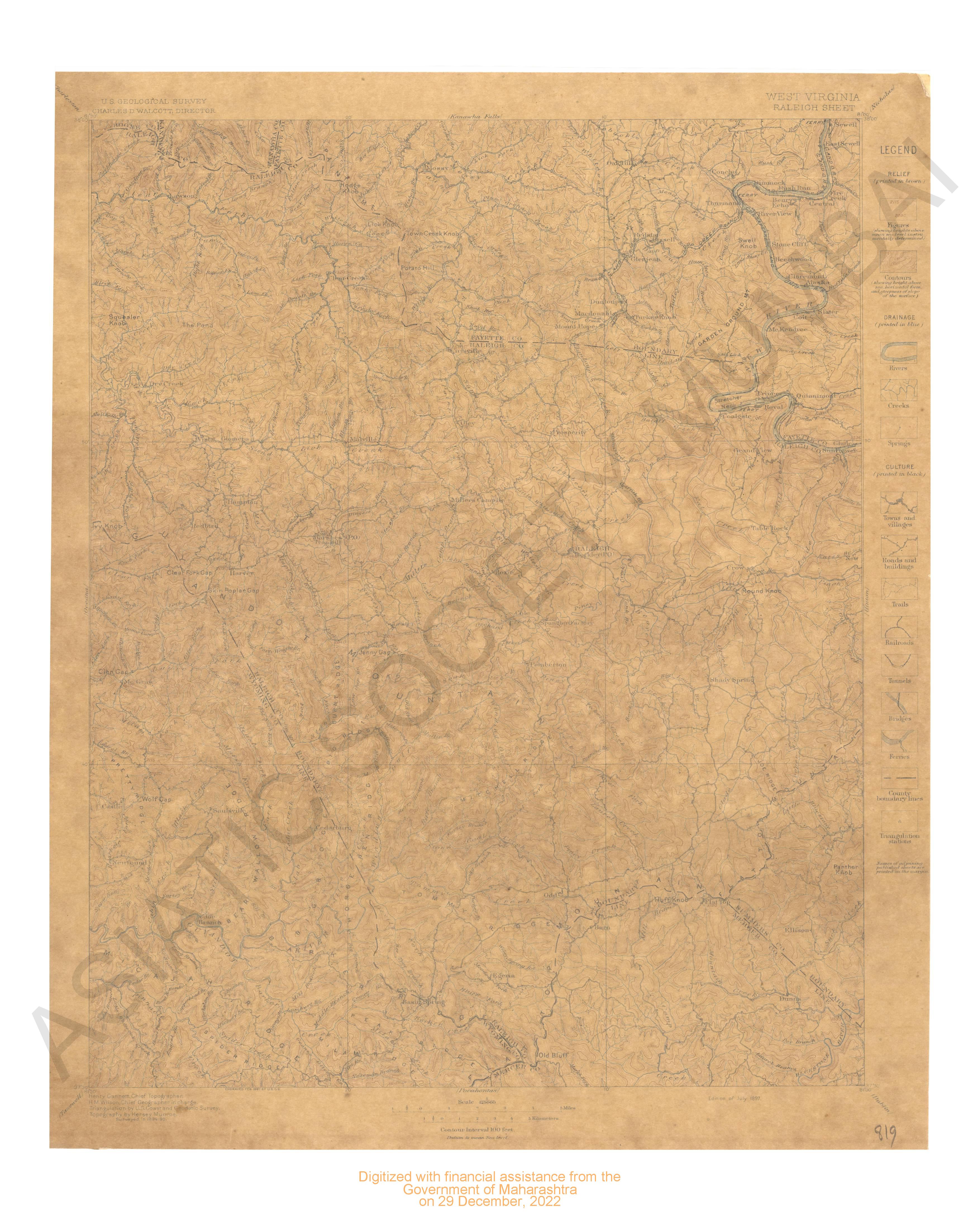
- West Virginia Raleigh sheet surveyed 1894-95.
- Year: 1897
- Subject: USGS topography
- Publisher: US geogological survey
- Language: English
- Place of Publication: Washinton
-
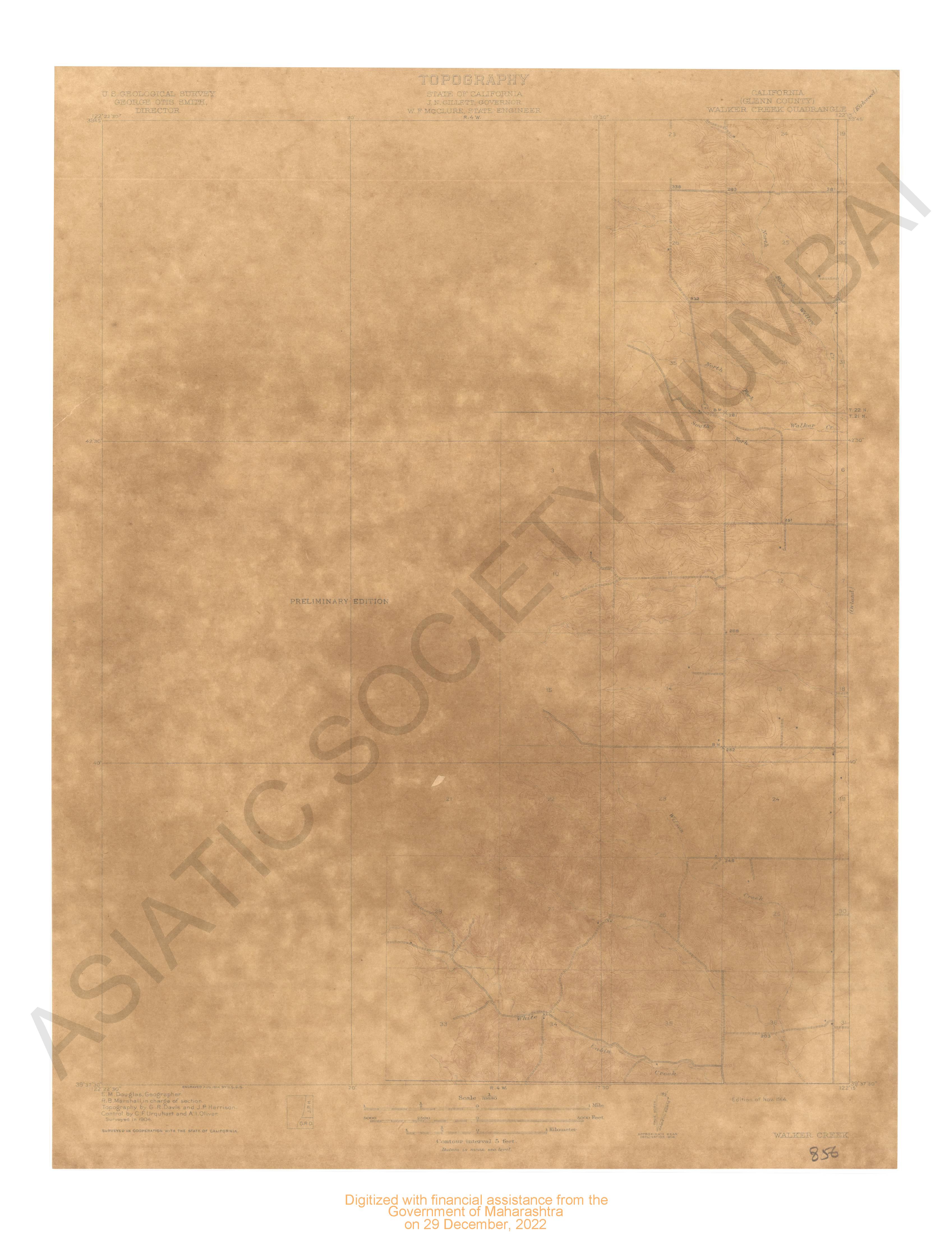
- California (Glenn county) Walker creek quadrangle surveyed in 1904 in cooperation with the state of California.
- Year: 1914
- Subject: USGS topography
- Publisher: US geogological survey
- Language: English
- Place of Publication: Washinton
-
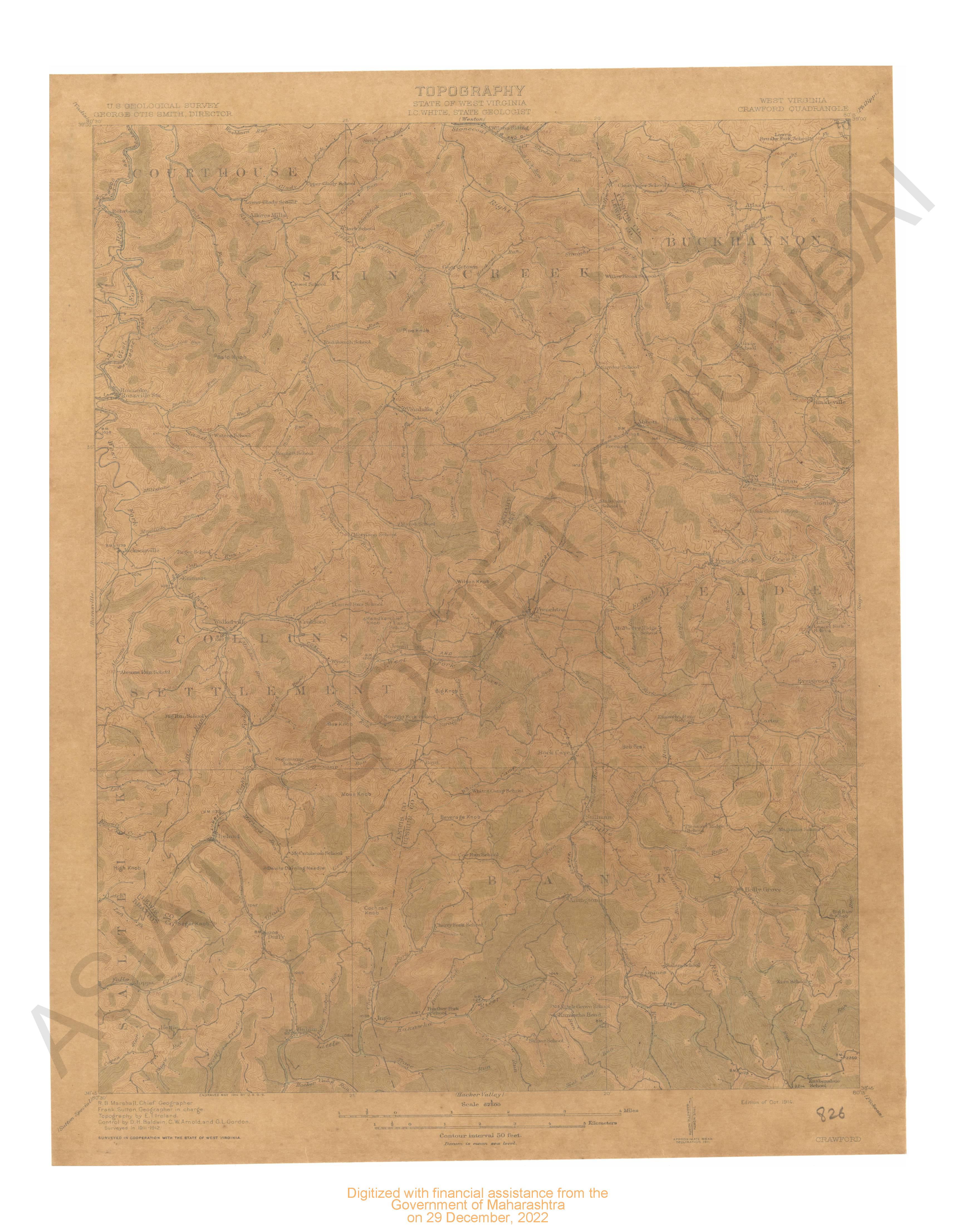
- West Virginia Crawford quadrangle surveyed 1911-12 in cooperation with state of West Virginia.
- Year: 1914
- Subject: USGS topography
- Publisher: US geogological survey
- Language: English
- Place of Publication: Washinton
-
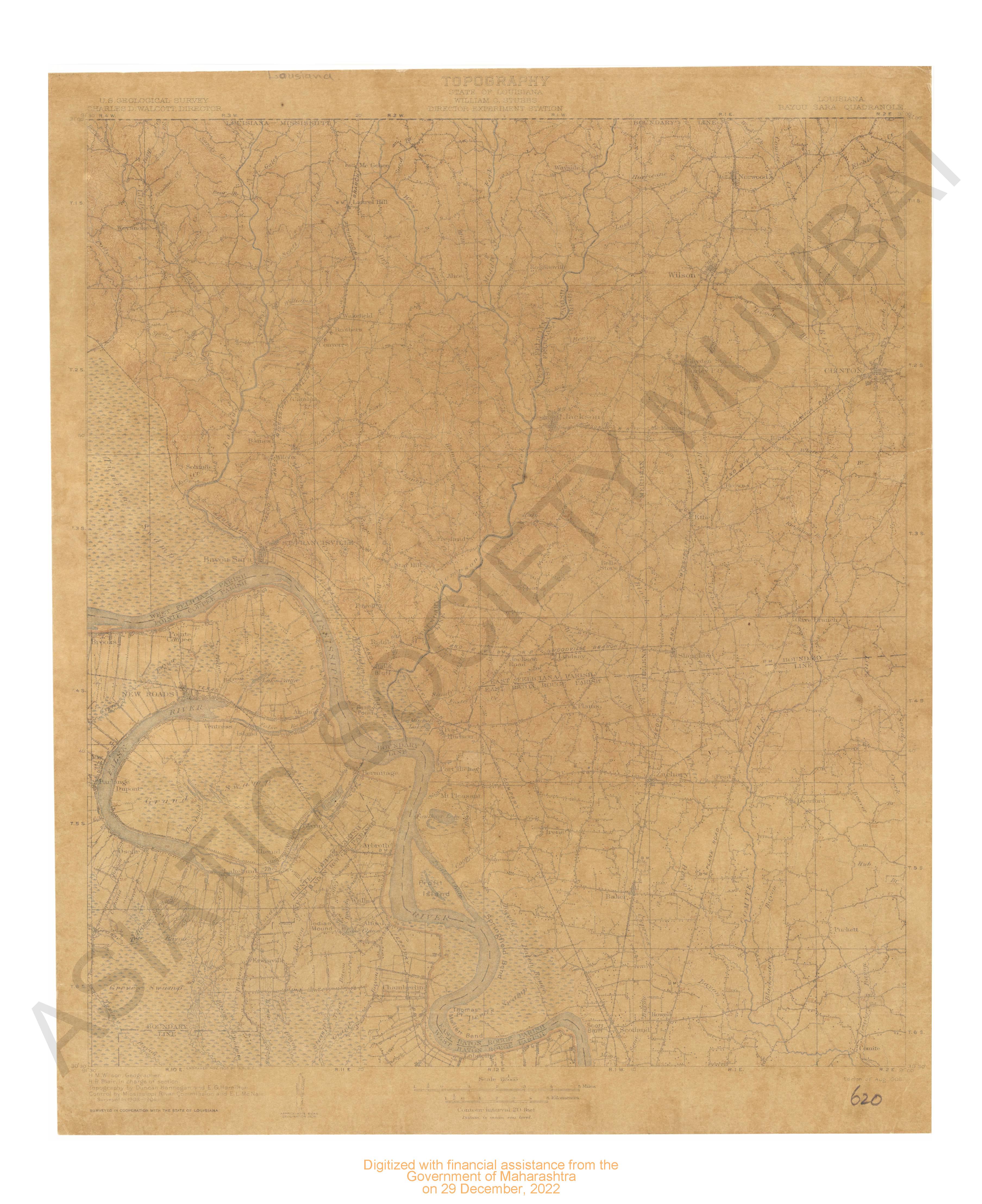
- Lousiana Bayou Bara quadrangle surveyed in 1903 in corporation with the state of Lousiana.
- Year: 1906
- Subject: USGS topography
- Publisher: US geogological survey
- Language: English
- Place of Publication: Washington
-
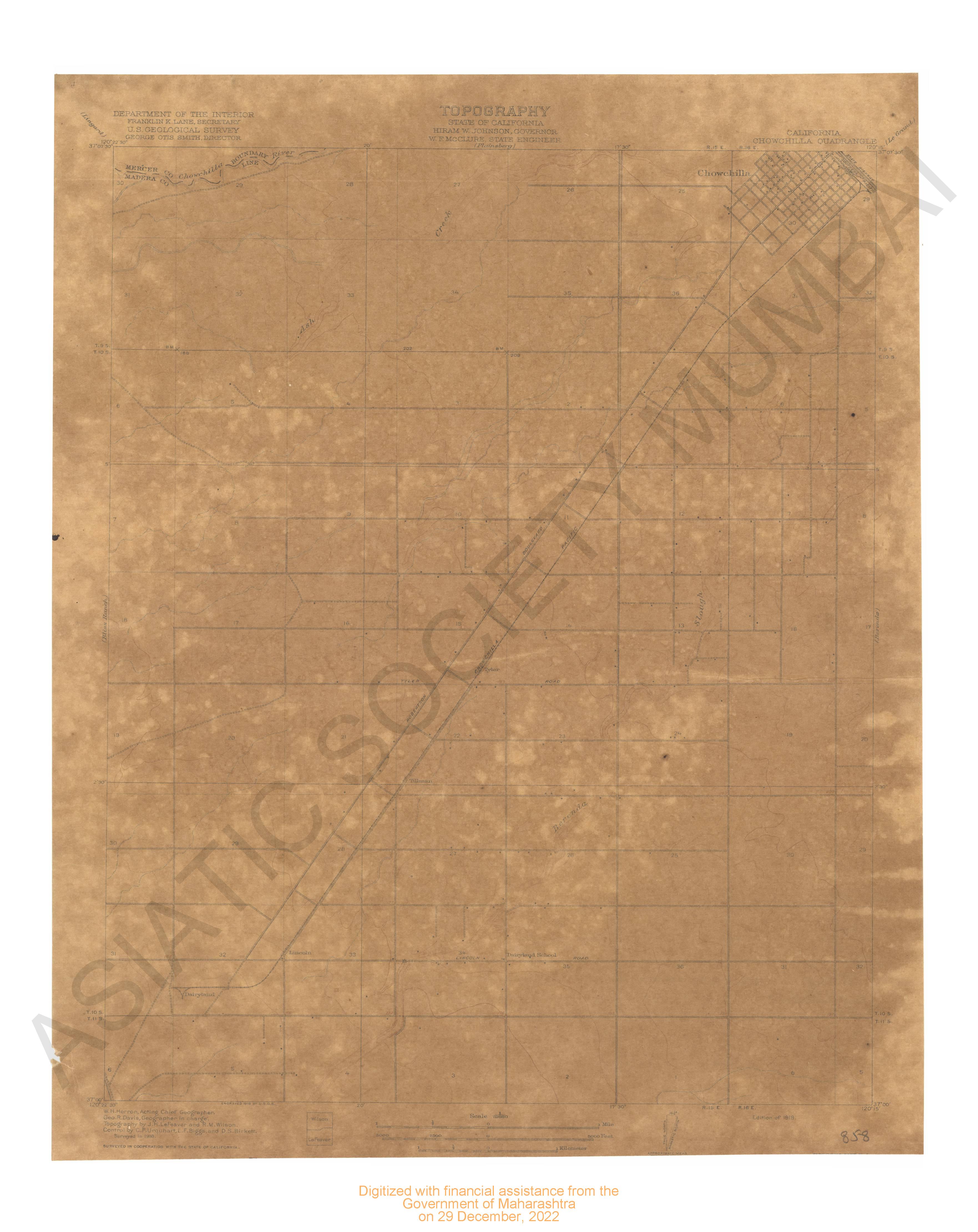
- California Chowshilla quadrangle surveyed in 1916 in cooperation with the state of California.
- Year: 1918
- Subject: USGS topography
- Publisher: US geogological survey
- Language: English
- Place of Publication: Washinton
-
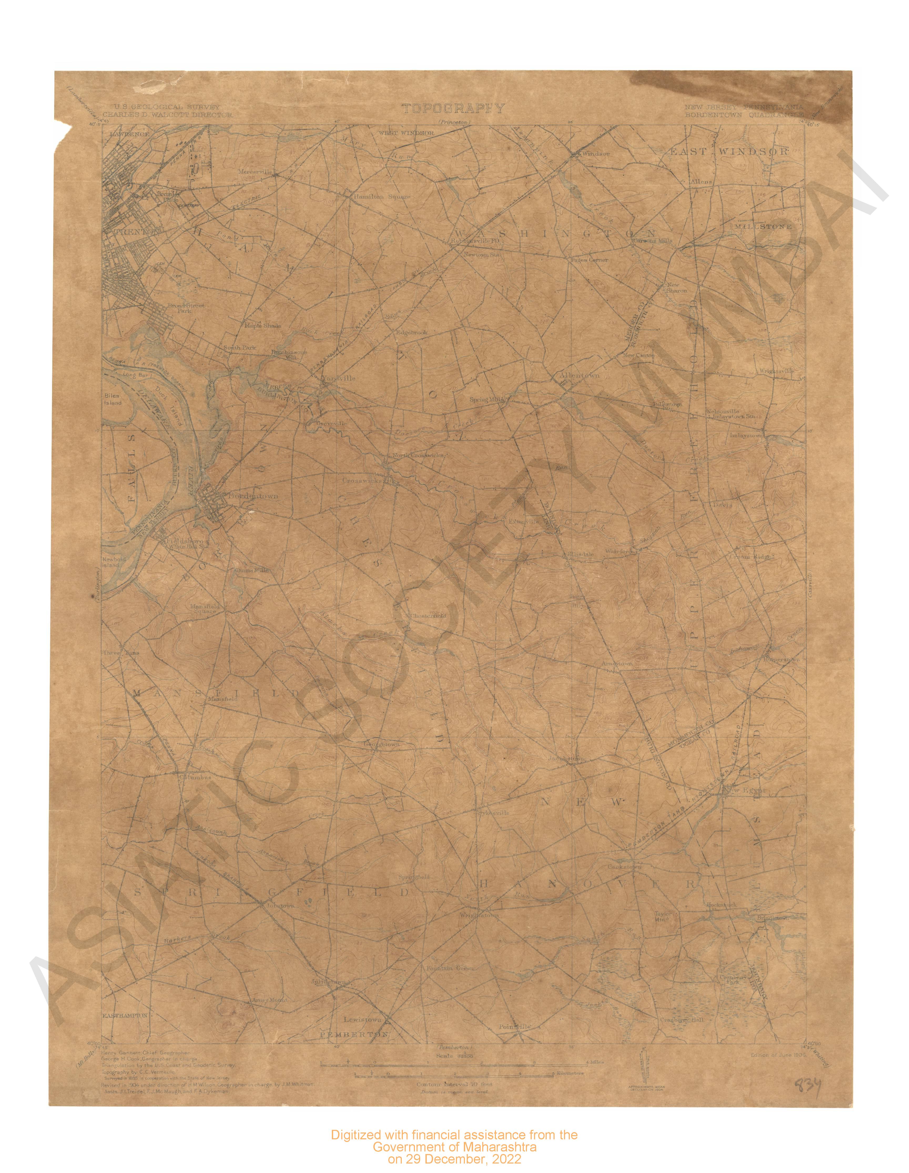
- New Jersey- Pennsylvania Bordentown quadrangle surveyed in 1885. revised in 1904 surveyed in cooperation with state of New Jersey.
- Year: 1906
- Subject: USGS topography
- Publisher: US geogological survey
- Language: English
- Place of Publication: Washinton
-
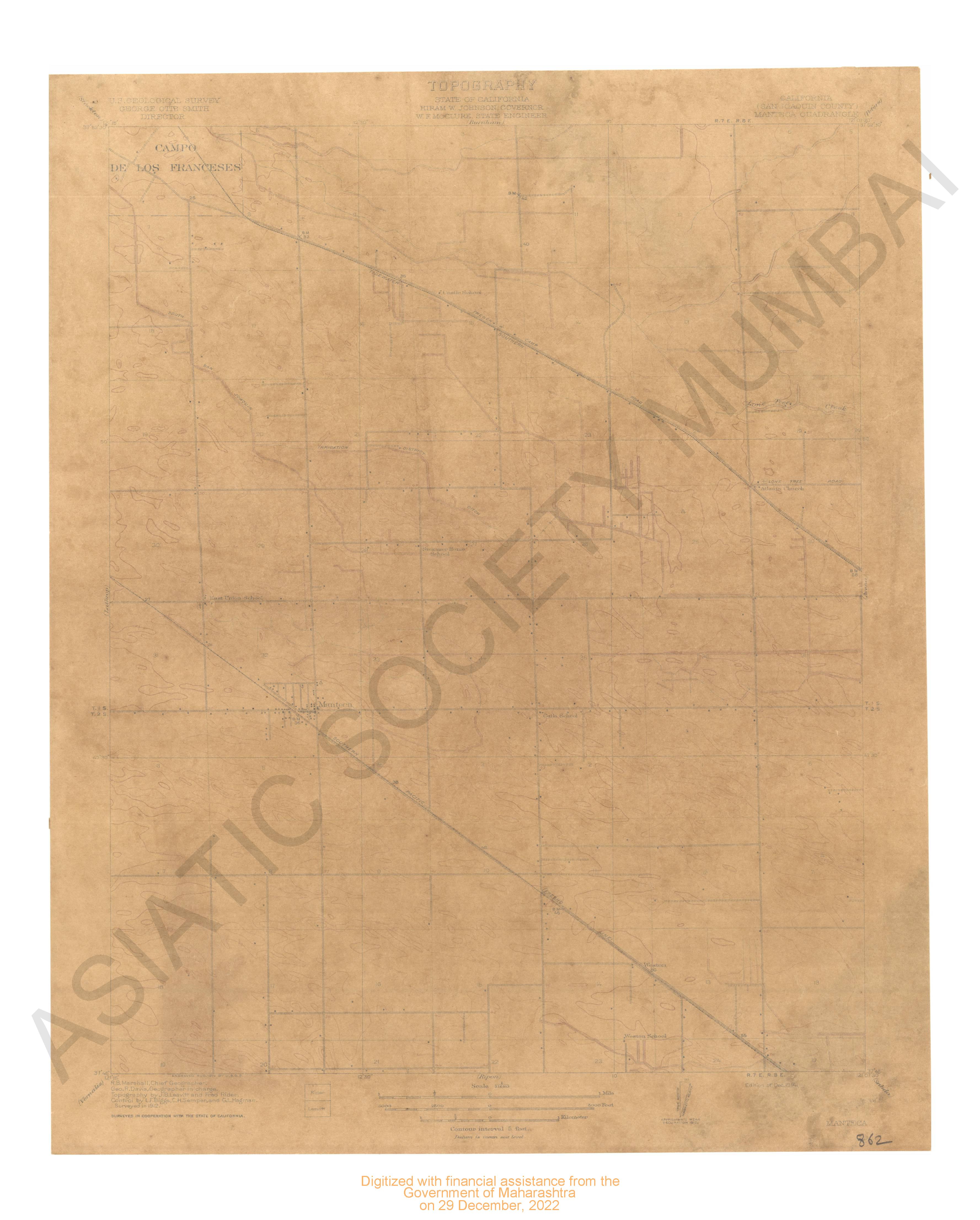
- California (San Joaquin county) Manteca quadrangle surveyed in 1912 in cooperation with state of California.
- Year: 1914
- Subject: USGS topography
- Publisher: US geogological survey
- Language: English
- Place of Publication: Washinton
-
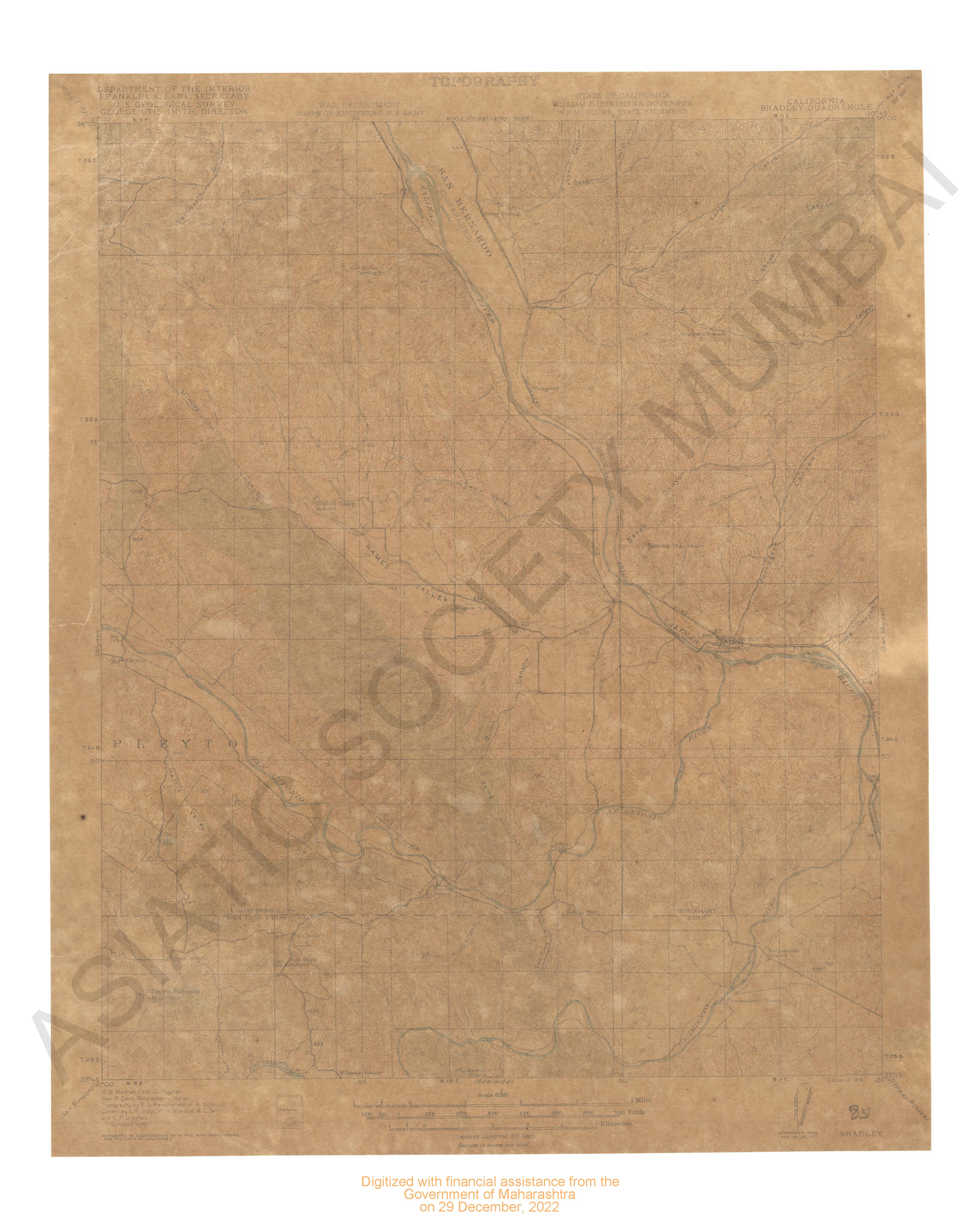
- California Bradley quadrange. Surveyed in 1917 in cooperation with the war department & the state of California.
- Year: 1919
- Subject: USGS topography
- Publisher: US geogological survey
- Language: English
- Place of Publication: Washinton
-
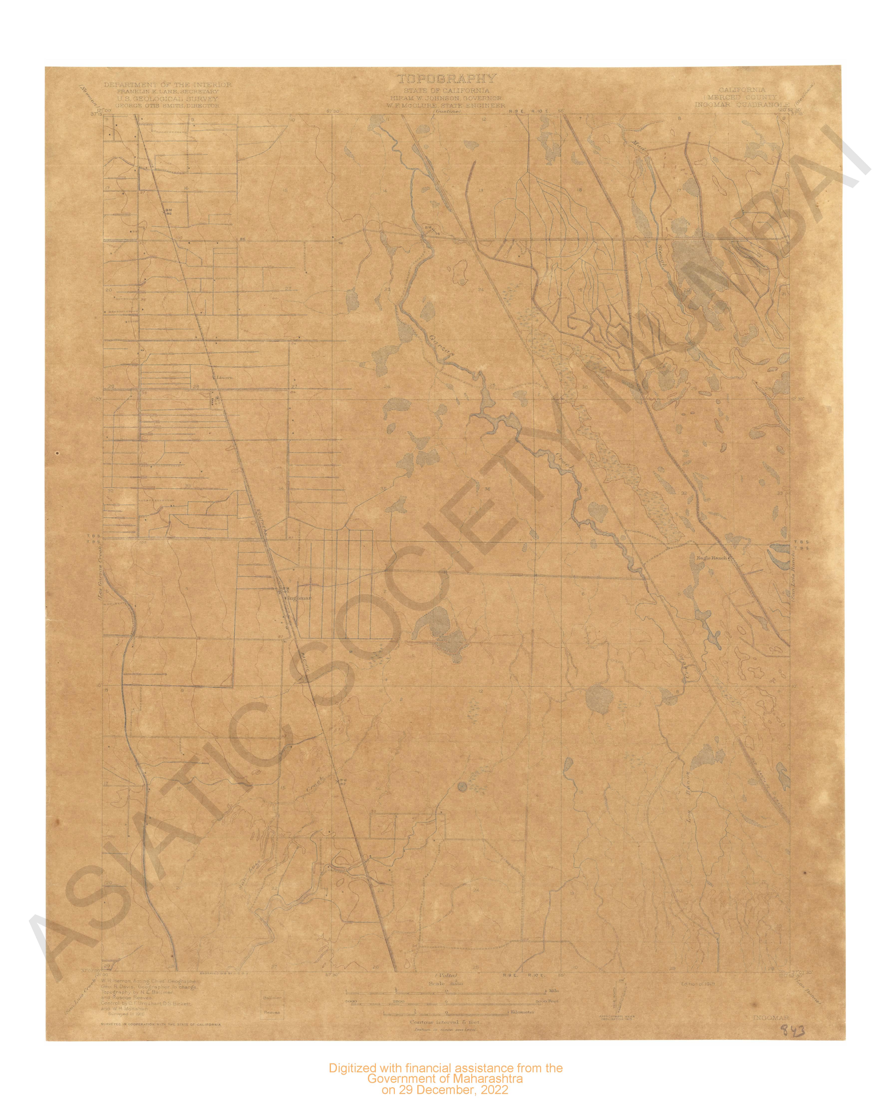
- California (Merced county) Ingomar quardrange surveyed in 1916 in cooperation with state of California.
- Year: 1919
- Subject: USGS topography
- Publisher: US geogological survey
- Language: English
- Place of Publication: Washinton
-
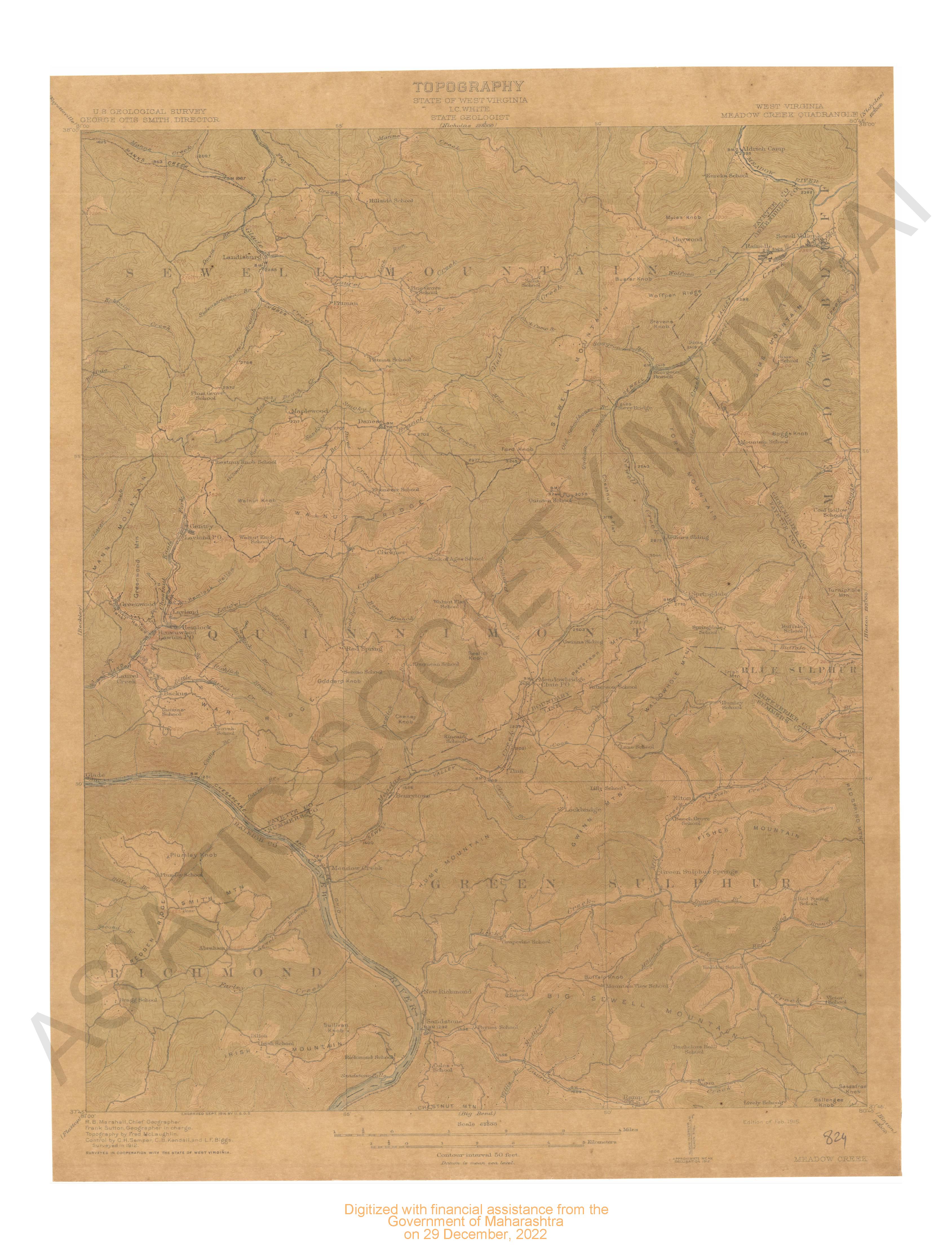
- West Virginia Meadow creek quadrangle surveyed 1912 in cooperation with state of West Virginia.
- Year: 1915
- Subject: USGS topography
- Publisher: US geogological survey
- Language: English
- Place of Publication: Washinton
-
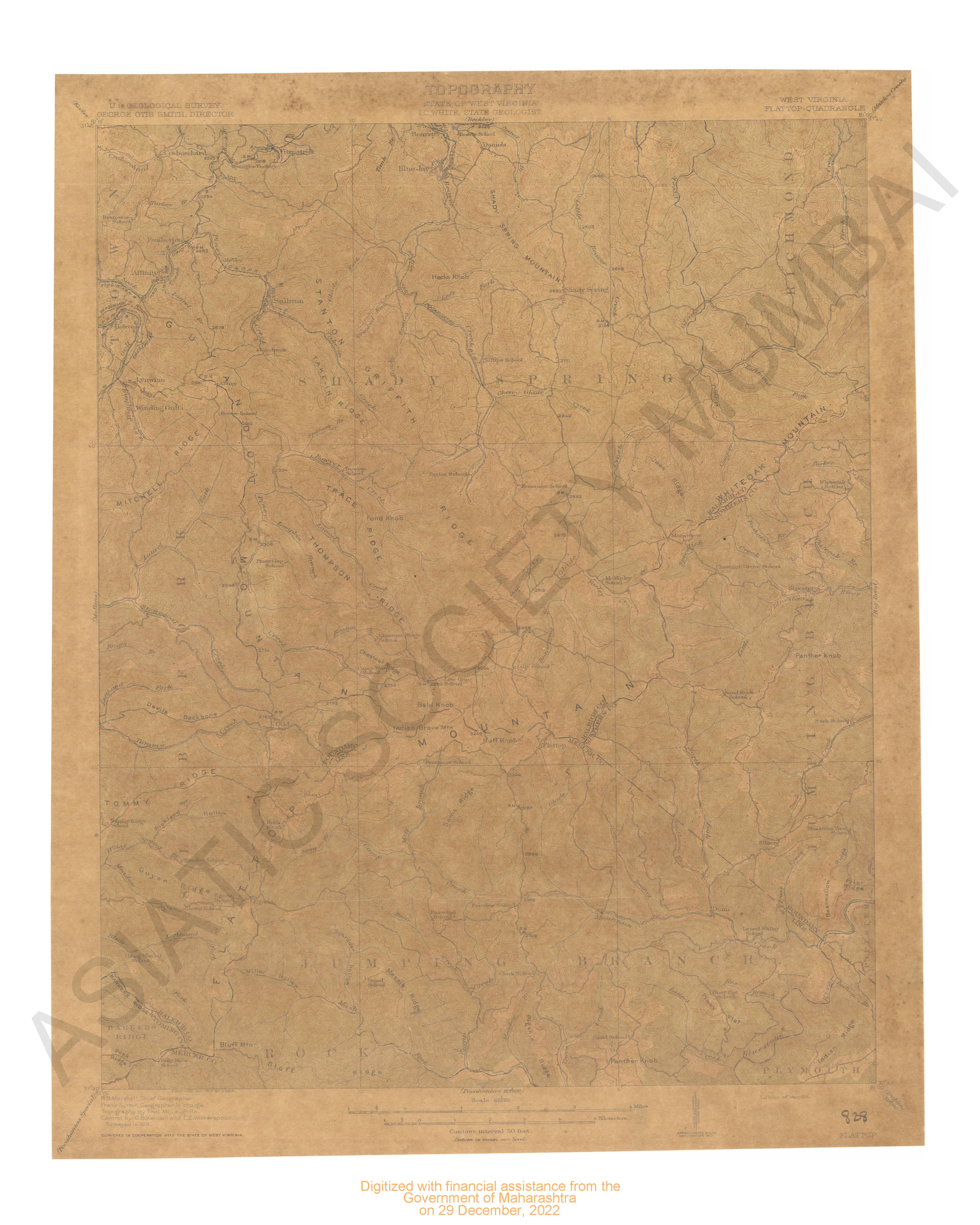
- West Virginia Flattop quadrangle survyed 1911 in cooperation with state of West Virginia.
- Year: 1916
- Subject: USGS topography
- Publisher: US geogological survey
- Language: English
- Place of Publication: Washinton
-
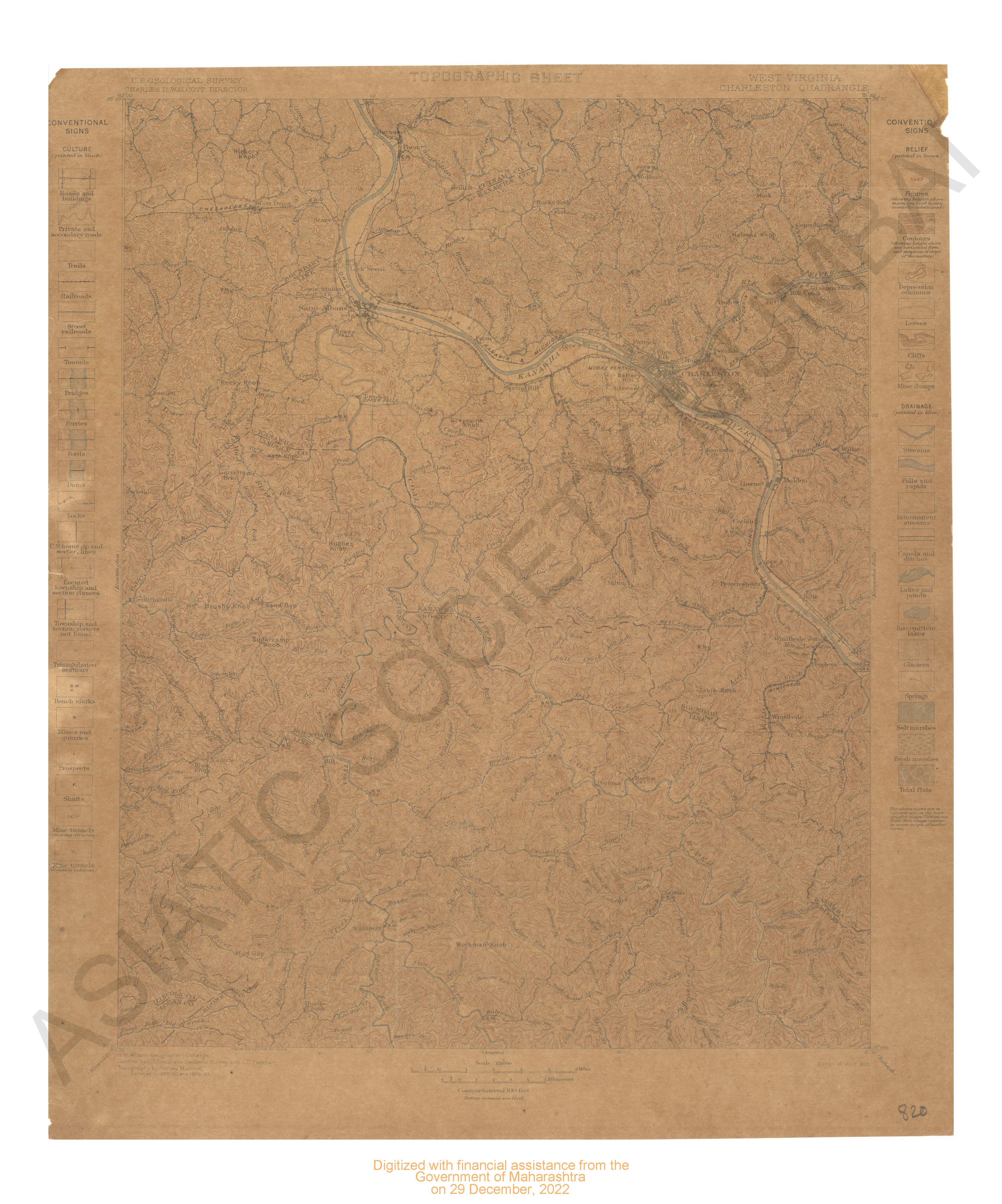
- West Virginia Chareslton quadrangle surveyed in 1889-90 & 1896-97.
- Year: 1899
- Subject: USGS topography
- Publisher: US geogological survey
- Language: English
- Place of Publication: Washinton
-
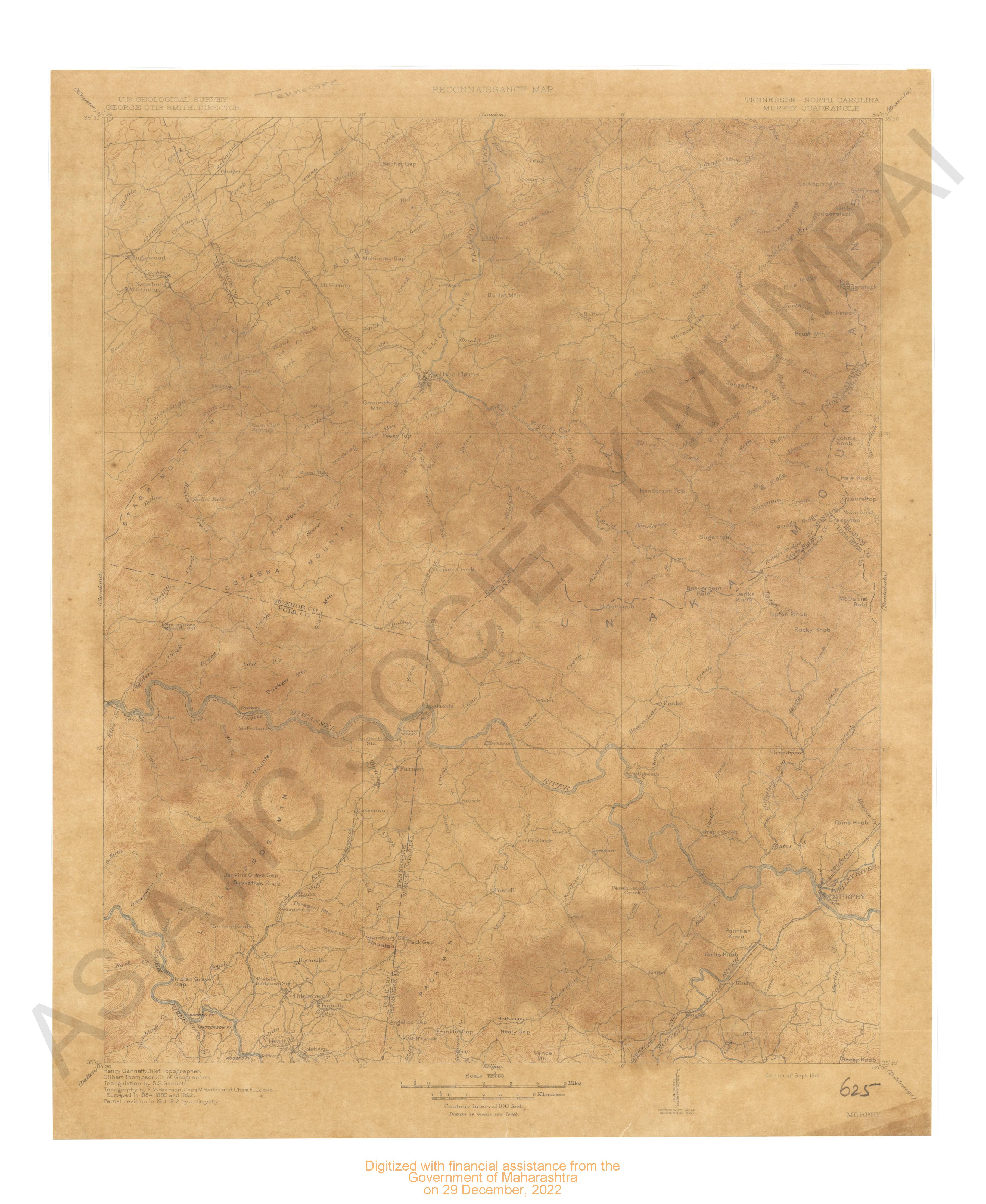
- Tennesse-North California Murphy quadrangle Surveyed in 1884-85 and 1892. Partial revision in 1911-12 by J.i.Gayetty.
- Year: 1914
- Subject: USGS topography
- Publisher: US geogological survey
- Language: English
- Place of Publication: Washinton
-
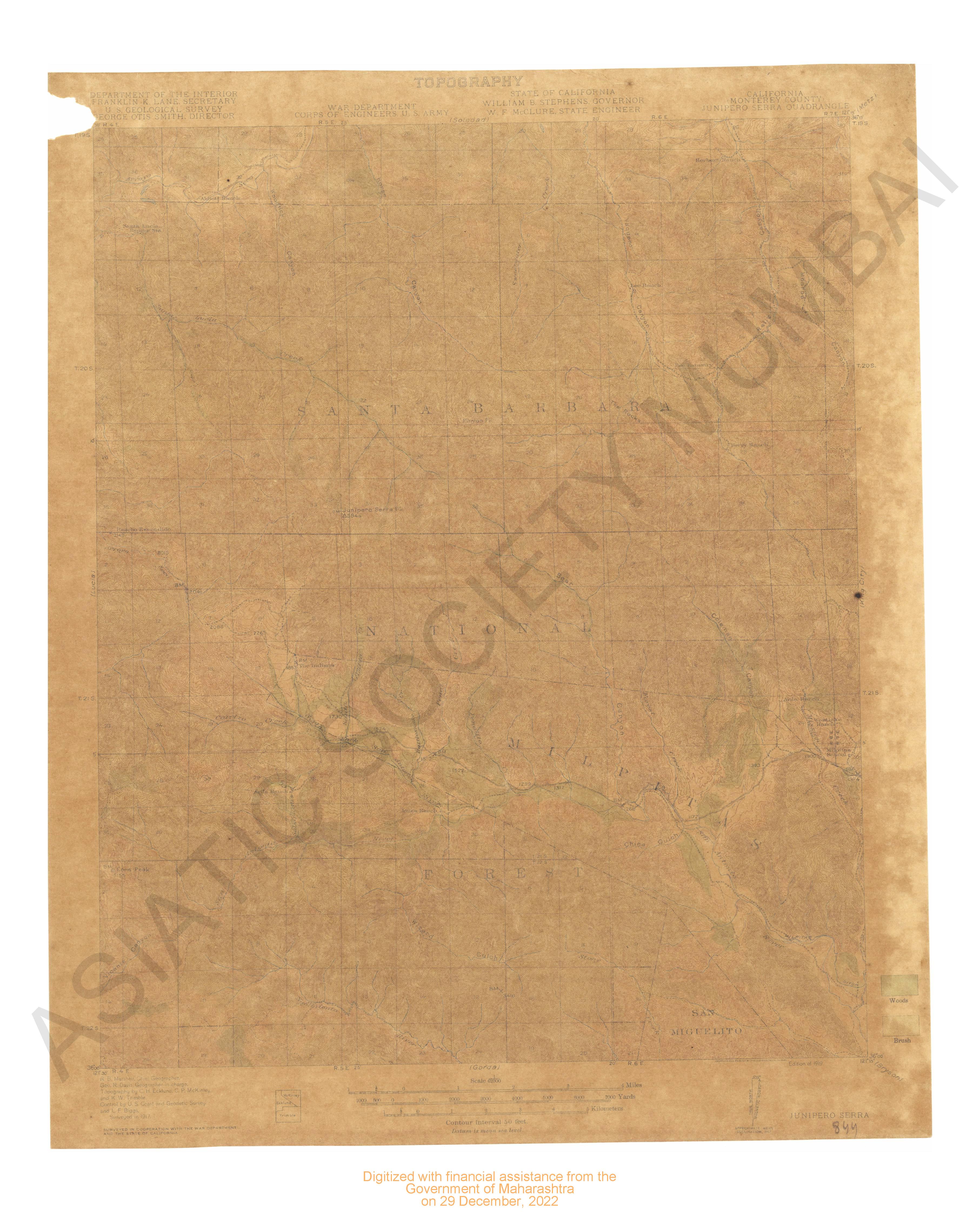
- California (Monterey county) Junipero Serra quadrange surveyed in 1917 in cooperation with war department & State of California.
- Year: 1919
- Subject: USGS topography
- Publisher: US geogological survey
- Language: English
- Place of Publication: Washinton
-
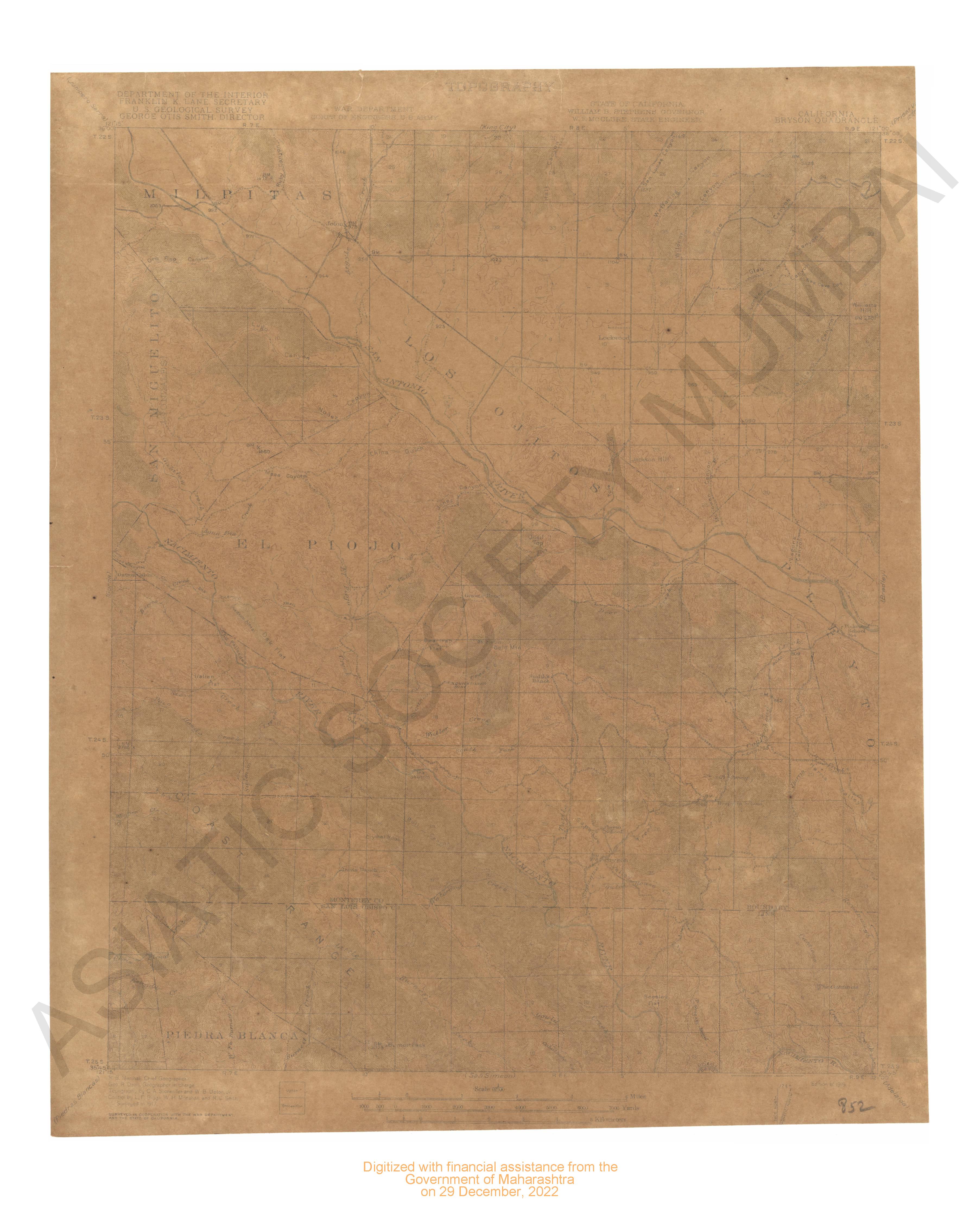
- California Bryson quadrange. Surveyed in 1917 in cooperation with the war department & the state of California.
- Year: 1919
- Subject: USGS topography
- Publisher: US geogological survey
- Language: English
- Place of Publication: Washinton
-
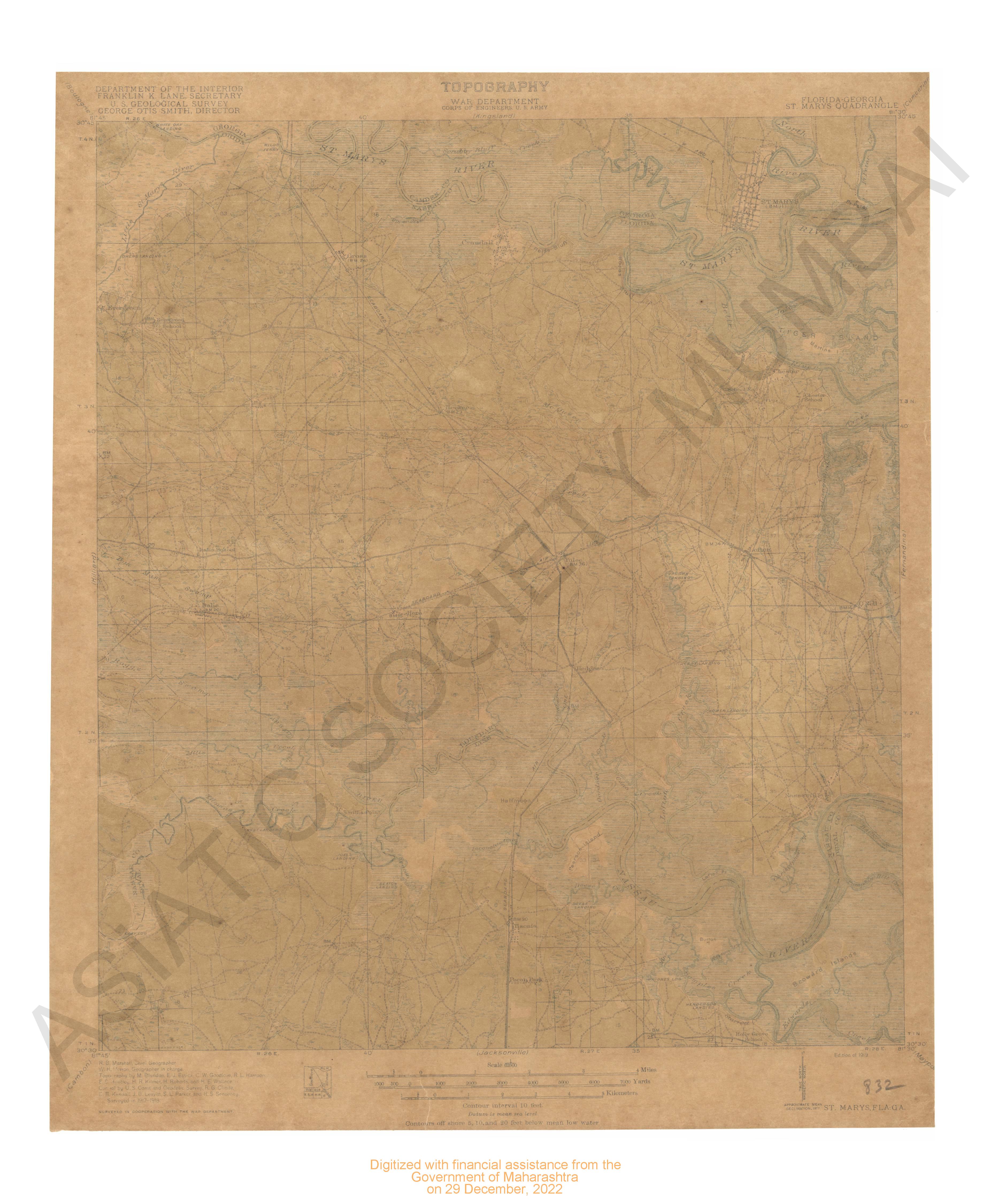
- Florida Georgia Marys quadrangle surveyed in 1917-18 in cooperation with war department.
- Year: 1919
- Subject: USGS topography
- Publisher: US geogological survey
- Language: English
- Place of Publication: Washinton
-
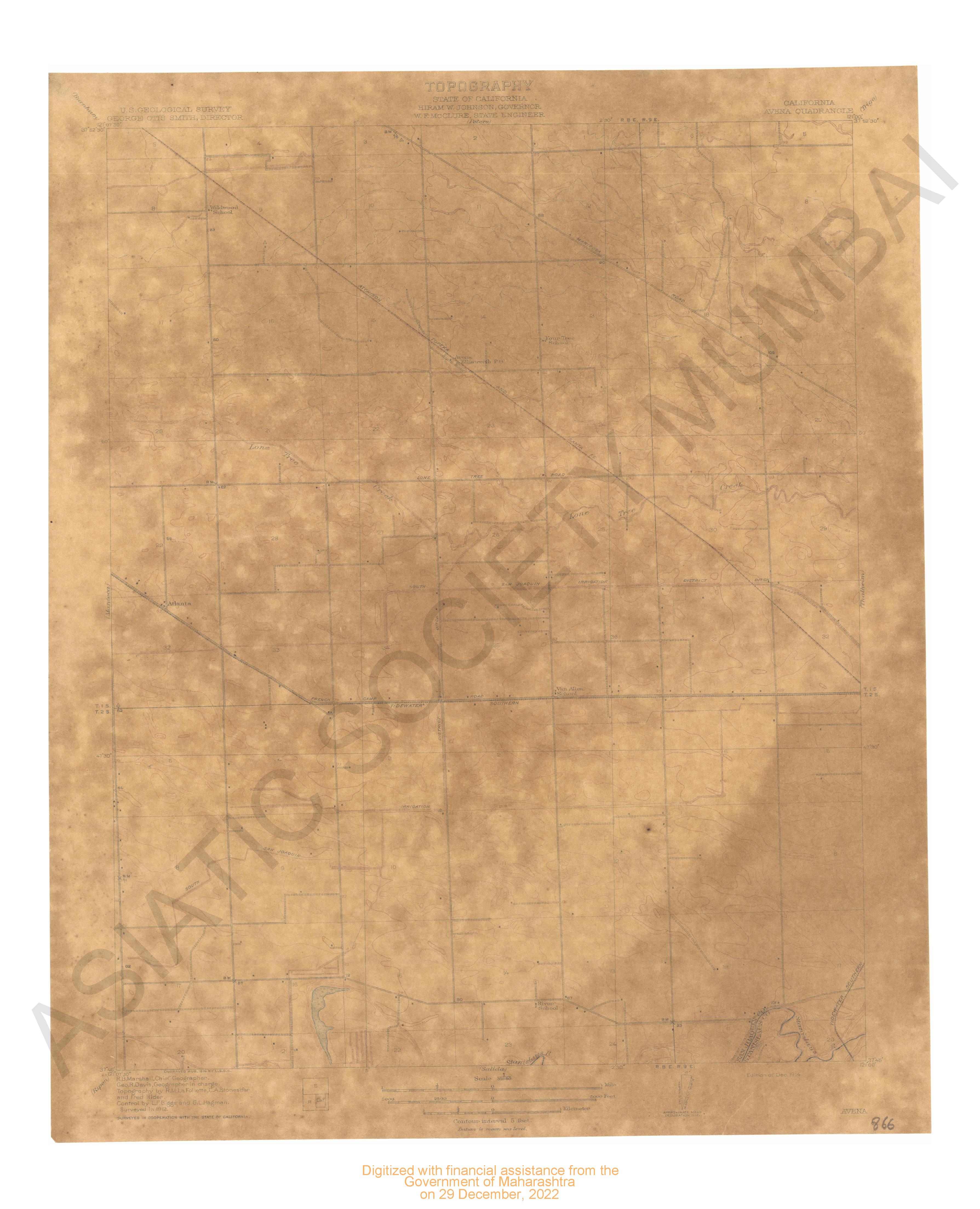
- California Avena quadrangle surveyed in 1912 in cooperation with state of California.
- Year: 1914
- Subject: USGS topography
- Publisher: US geogological survey
- Language: English
- Place of Publication: Washinton
-
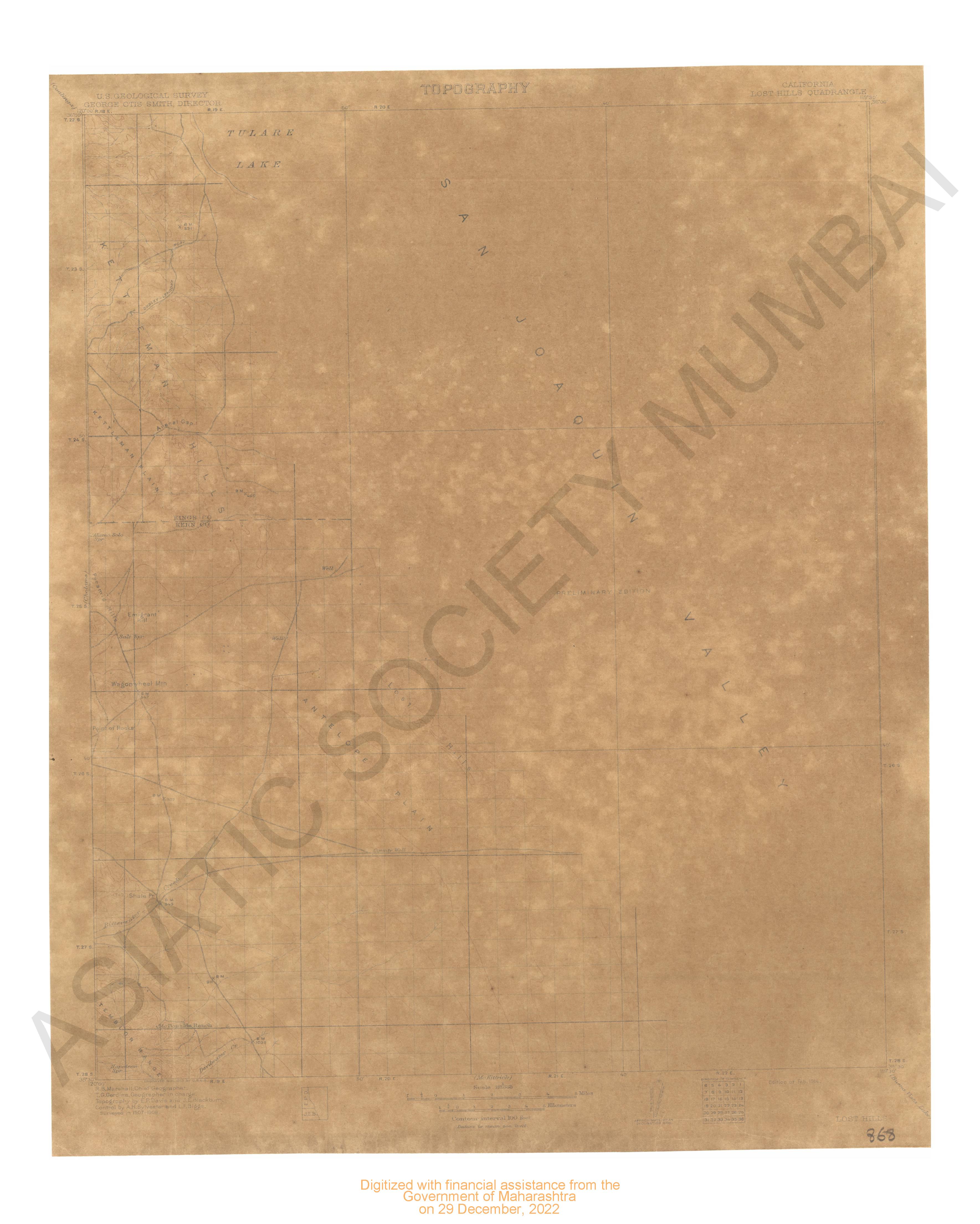
- California Lost Hills quadrangle surveyed in 1907-08.
- Year: 1914
- Subject: USGS topography
- Publisher: US geogological survey
- Language: English
- Place of Publication: Washinton