-
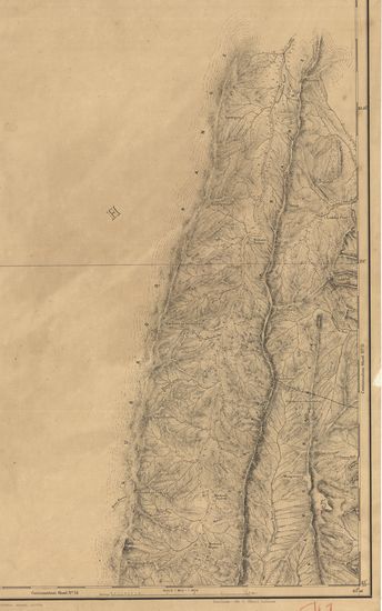
-
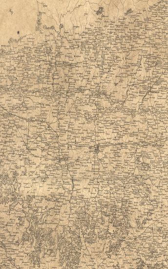
-
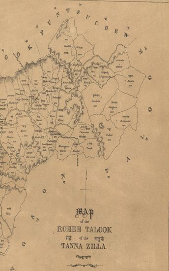
- Map of the Roheh Talooka, Tana Zilla. -
- Year: 1869
-
-
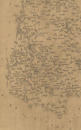
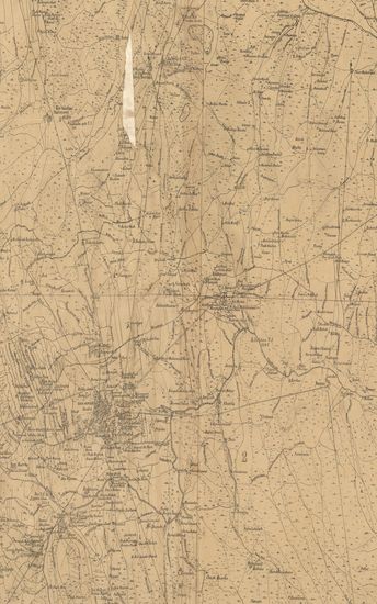
- Map of the Wun Taluka, East Berar .
- Year: 1876
-

-
-
-
-
-
-

-
-
-
-
-
-
-
-
-
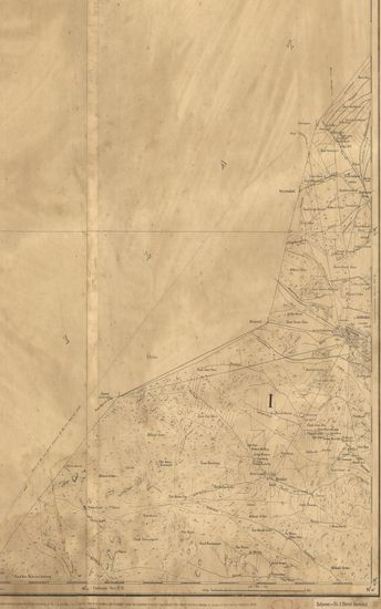
- District Larkana Surveyed in 1861-62. Sind Revenue Survey (Sheet No.11)
- Year: 1869
- Subject: Cadastral Map
- Publisher: Calcutta Surveyor General's Office 1869
- Language: English
- Place of Publication: Calcutta
-
- Map of the Hyderabad Assigned Districts. Western Portion.
- Year: 1877
- Subject: Topographic Map
- Publisher: Poona (Pune) Government Photozincographic Office 1877
- Language: English
- Place of Publication: Poona (Pune)
-
- Map of the Roheh Talooka, Tana Zilla. -
- Year: 1869
- Subject: Topographic Map
- Publisher: Poona (Pune) Government Photozincographic Office 1869
- Language: English
- Place of Publication: Poona (Pune)
-
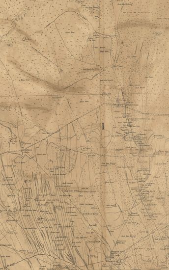
- Districts Shikarpoor (Shikarpur) & Jacobabad Surveyed in 1857-58 and 59. Sind Revenue Survey (Sheet No.9)
- Subject: Cadastral Map
- Publisher: Calcutta Surveyor General's Office
- Language: English
- Place of Publication: Calcutta
-
- Map of the Wun Taluka, East Berar .
- Year: 1876
- Subject: Topographic Map
- Publisher: Poona (Pune) Government Photozincographic Office 1876
- Language: English
- Place of Publication: Poona (Pune)
-
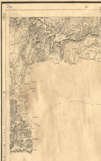
- Guzerat, Section 79 Sheet 2 : Parts of Viramgam amd Sanand Talukas Ahmedabad Collectorate, Kari Taluka Baroda State and of the Vitalgarh, Bajana and Lagtar States (Season 1875-76)
- Year: 1877
- Subject: Topographic Map
- Publisher: Dehradun G.T.S. Office 1877
- Language: English
- Place of Publication: Dehradun
-
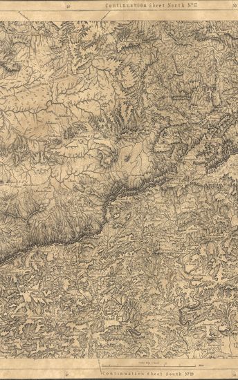
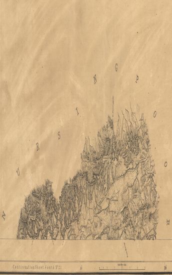
- Portions of Hoshungabad & Chindwara ( Hoshangabad & Chhindwara ). Season 1868-69-70. Central Provinces Topographical Survey. (Sheet No.18)
- Year: 1870
- Subject: Topographic Map
- Publisher: Calcutta Surveyor General's Office 1870
- Language: English
- Place of Publication: Calcutta
-
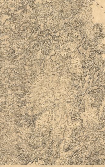
- Portions of Chindwara ( Chhindwara ). Season 1869-70. Central Provinces Topographical Survey. (Sheet No.19)
- Year: 1871
- Subject: Topographic Map
- Publisher: Calcutta Surveyor General's Office 1871
- Language: English
- Place of Publication: Calcutta
-
- Portions of Chindwara ( Chhindwara ). Season 1869-70. Central Provinces Topographical Survey. (Sheet No.21)
- Year: 1871
- Subject: Topographic Map
- Publisher: Calcutta Surveyor General's Office 1871
- Language: English
- Place of Publication: Calcutta
-
- Portions of Chindwara ( Chhindwara ). Season 1869-70. Central Provinces Topographical Survey. (Sheet No.20)
- Year: 1871
- Subject: Topographic Map
- Publisher: Calcutta Surveyor General's Office 1871
- Language: English
- Place of Publication: Calcutta
-
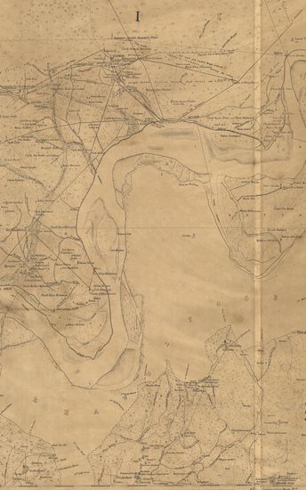
- District's Jacobabad & Rohree Survey in 1856-57-58 & 59. Sind Revenue Survey. (Sheet No.5)
- Year: 1868
- Publisher: Calcutta Surveyor General's Office 1868
- Language: English
- Place of Publication: Calcutta
-
- Map of Mavalivaram - Mavelipuram (Mahabalipur) Otherwise called the Seven Pagodas. (Sheet No.2)
- Year: 1878
- Publisher: Madras Surveyor General's Office 1878
- Language: English
- Place of Publication: Madras
-
- District Jacobabad Survey in 1858-59. Sind Revenue Survey. (Sheet No.3)
- Year: 1868
- Publisher: Calcutta Surveyor General's Office 1868
- Language: English
- Place of Publication: Calcutta
-
- District Jacobabad Survey in 1858-59 Sind Revenue Survey. (Sheet No.2)
- Year: 1868
- Publisher: Calcutta Surveyor General's Office 1868
- Language: English
- Place of Publication: Calcutta
-
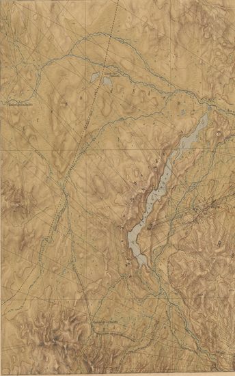
- Nord-ost Tibet. IIl. Teil (Gebiet Kiang-tschu-Yach-tschu) Lager XXXIV bis LV Expedition Tibet 1903 To 1905. (Blatt 26)
- Year: 1905
- Subject: Topographic Map
- Publisher: Berlin E.S. Mittler & Sons 1905
- Language: English
- Place of Publication: Berlin
-
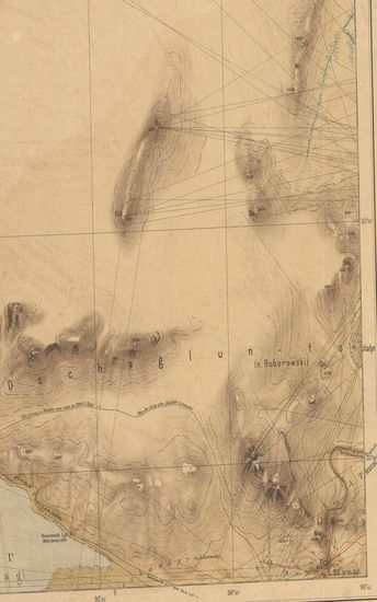
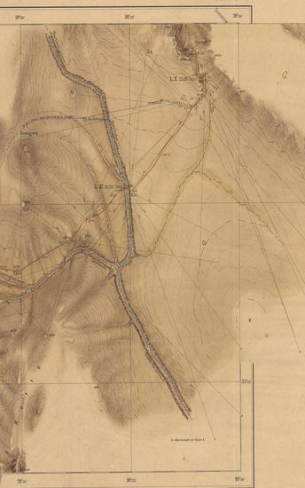
- Nord-ost Tibet. I. Teil (Gabiet schara-Kuto-tosson-nor) Lager I bis XIX, Expedition Tibet 1903 To 1905. (Blatt 10.)
- Year: 1905
- Subject: Topographic Map
- Publisher: Berlin E.S.Mittler & Sons 1905
- Language: English
- Place of Publication: Berlin
-
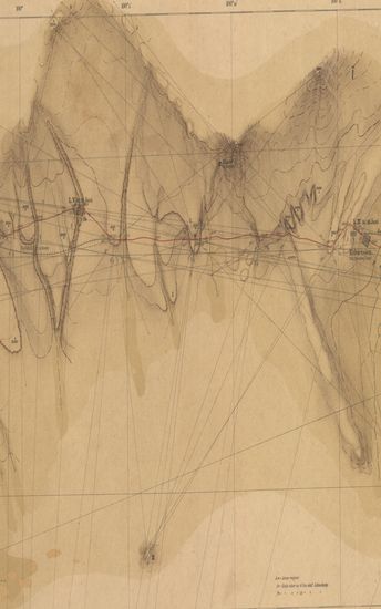
- Nord-ost Tibet. I. Teil (Gabiet schara-Kuto-tosson-nor) Lager I bis XIX, Expedition Tibet 1903 To 1905. (Blatt 3.)
- Year: 1905
- Subject: Topographic Map
- Publisher: Berlin E.S.Mittler & Sons 1905
- Language: English
- Place of Publication: Berlin
-
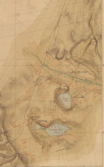
- Nord-ost Tibet. I. Teil (Gabiet schara-Kuto-tosson-nor) Lager I bis XIX, Expedition Tibet 1903 To 1905. (Blatt 4.)
- Year: 1905
- Subject: Topographic Map
- Publisher: Berlin E.S.Mittler & Sons 1905
- Language: English
- Place of Publication: Berlin
-
- Nord-ost Tibet. I. Teil (Gabiet schara-Kuto-tosson-nor) Lager I bis XIX, Expedition Tibet 1903 To 1905. (Blatt 6.)
- Year: 1905
- Subject: Topographic Map
- Publisher: Berlin E.S.Mittler & Sons 1905
- Language: English
- Place of Publication: Berlin
-
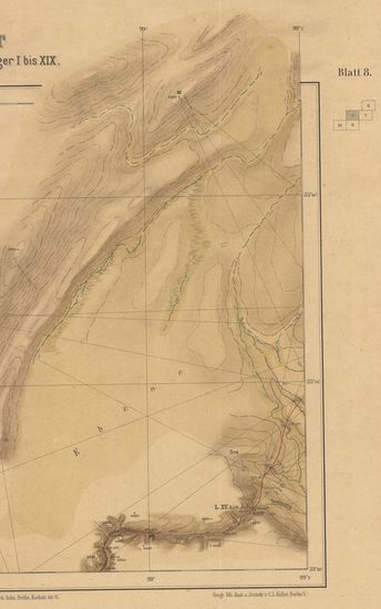
- Nord-ost Tibet. I. Teil (Gabiet schara-Kuto-tosson-nor) Lager I bis XIX, Expedition Tibet 1903 To 1905. (Blatt 8.)
- Year: 1905
- Subject: Topographic Map
- Publisher: Berlin E.S.Mittler & Sons 1905
- Language: English
- Place of Publication: Berlin