-
-
-
-
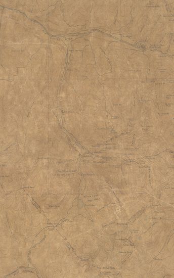
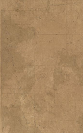
- Colorado Telluride Sheet Surveyed in 1894
- Year: 1897
-
-
-
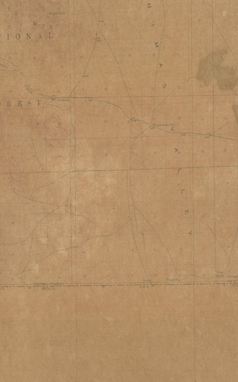
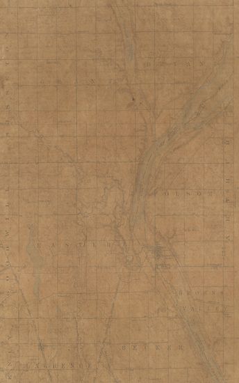
- Washington Connell Quadrangle in 1916 in Cooperation wi ...
- Year: 1918
- Author: Gerdine, T.G.
-
-
-
-
-
-
-
-
-
-
-
-
-

-
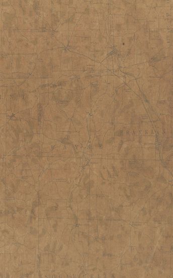
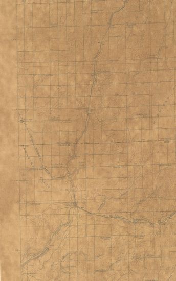
- Ohio Navaree Quadrangle Surveyed in 1911 in Cooperation with the state of Ohio
- Year: 1914
- Publisher: Washington US Geological Survey 1914
- Language: English
- Place of Publication: Washington
-
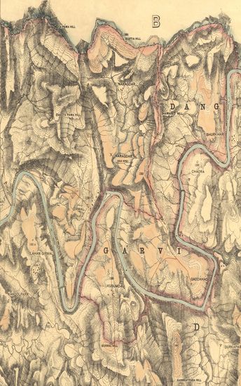
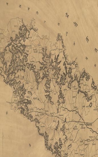
- Guzerat Section No.4 of Sheet No. 49(Dang Forests) : Parts of the Dang Garvi, Dang Derbhauti, and Dang Pimpri States. 1877-78
- Year: 1879
- Subject: Topographical States
- Publisher: Dehradun Office of the Trigonometrical Barnch. Survey Of India 1879
- Language: English
- Place of Publication: Dehradun
-
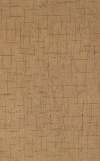
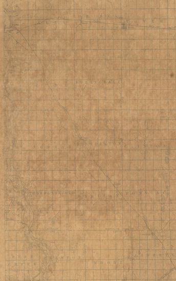
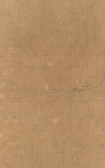
- South Dakota Northville Quadrangle Surveyed in 1893-94-95
- Year: 1899
- Subject: Topographic Map
- Publisher: Washington US Geological Survey 1899
- Language: English
- Place of Publication: Washington
-
- Colorado Telluride Sheet Surveyed in 1894
- Year: 1897
- Subject: Topographic Map
- Publisher: Washington US Geological Survey 1897
- Language: English
- Place of Publication: Washington
-
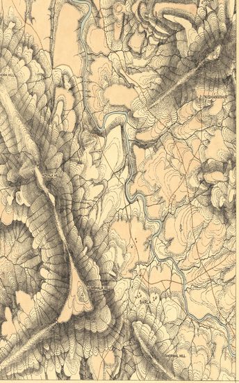
- New Mexico (Socorro County) Pelona Quadrangle Surveyed in 1915-16
- Year: 1918
- Subject: Topographic Map
- Publisher: Washington US Geological Survey 1918
- Language: English
- Place of Publication: Washington
-
- North Dakota Tower Sheet Surveyed in 1894-95
- Subject: Topographic Map
- Publisher: Scale [5:20] Contour Interval 20 Feet
- Language: English
- Place of Publication: Scale
-
- Washington Connell Quadrangle in 1916 in Cooperation with the State of Washington
- Year: 1918
- Author: Gerdine, T.G.
- Subject: Topographic Map
- Publisher: Washington US Geological Survey 1918
- Language: English
- Place of Publication: Washington
-
- New Mexico (Grant county) Cinega Springs Quadrangle Surveyed in 1917-18 in Cooperation with the war department
- Year: 1918
- Subject: Topographic Map
- Publisher: Washington US Geological Survey 1918
- Language: English
- Place of Publication: Washington
-
- Wyoming ( carbon county) Hanna Quadrangle Surveyed in 1911-12
- Year: 1914
- Subject: Topographic Map
- Publisher: Washington US Geological Survey 1914
- Language: English
- Place of Publication: Washington
-
- South Dakota Minnesota. Peever Quadrangle Surveyed in 1916
- Year: 1918
- Subject: Topographic Map
- Publisher: Washington US Geological Survey 1918
- Language: English
- Place of Publication: Washington
-
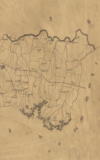
- Guzerat, Section No.3 of Sheet No.50 (Dang Forests) : Part of the Dang Wasurna State. 1879-80
- Year: 1881
- Subject: Topographic Map
- Publisher: Dehradun Office of the Trigonometrical Branch. Survey of India 1881
- Language: English
- Place of Publication: Dehradun
-
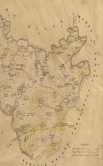
- Map of the Malsiras Taluka of the Sholapur (Solapur) Zilla. - नकाशा माळशिरस तालुका सोलापूर जिल्हा.
- Year: 1876
- Subject: Topographic Map
- Publisher: Poona (Pune) Government Photozincographic Office 1876
- Language: English
- Place of Publication: Poona (Pune)
-
- नकाशा - तालुके माण जिल्हा सातारा . - Map of the Maan Taluka in Satara District.
- Year: 1875
- Subject: Topographic Map
- Publisher: Poona (Pune) Government Photozincographic Office 1875
- Language: English
- Place of Publication: Poona (Pune)
-
- नकाशा तालुके फलटण जिल्हा सातारा - Map of the Taluka Phaltan District Satara.
- Year: 1875
- Subject: Topographic Map
- Publisher: Poona (Pune) Government Office 1875
- Language: English
- Place of Publication: Poona (Pune)
-
- Sketch of the Magadi Taluka of the Bangalore District Nandidrug Division, Mysore Territory. 1877
- Year: 1877
- Subject: Topographic Map
- Publisher: Poona (Pune) Government Photozincographic Office 1877
- Language: English
- Place of Publication: Poona (Pune)
-
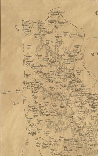
- Map of the Alibagh Talook (Taluka) of the Colaba Zilla.
- Year: 1877
- Subject: Topographic Map
- Publisher: Poona (Pune) Government Photozincographic Office 1877
- Language: English
- Place of Publication: Poona (Pune)
-
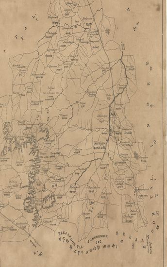
- Map of the Jutt (Jath) Jagheer Sattara Collectorate.
- Year: 1874
- Subject: Topographic Map
- Publisher: Poona (Pune) Government Photozincographic Office 1874
- Language: English
- Place of Publication: Poona (Pune)
-
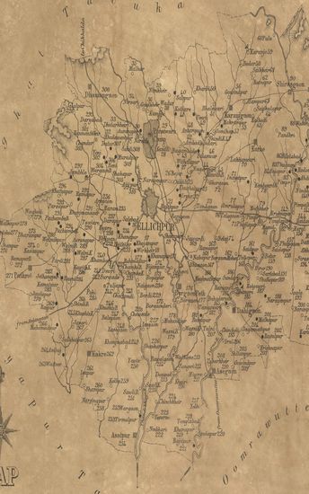
- Map of the Ellichpur (Achalpur) Taluka East Berar.
- Year: 1874
- Subject: Topographic Map
- Publisher: Poona (Pune) Government Photozincographic Office 1874
- Language: English
- Place of Publication: Poona (Pune)
-
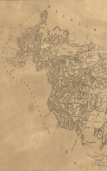
- Map of the Beedee Taluka of the Begaum collectorate.
- Year: 1878
- Subject: Topographic Map
- Publisher: Poona (Pune) Government Photozincographic Office 1878
- Language: English
- Place of Publication: Poona (Pune)
-
- Map of the Waee Talooka Sattara Collectorate.
- Year: 1876
- Subject: Topographic Map
- Publisher: Poona (Pune) Government Photozincographic Office 1876
- Language: English
- Place of Publication: Poona (Pune)