-
-
-
-
-
-
-
-
-
-
-

-
-
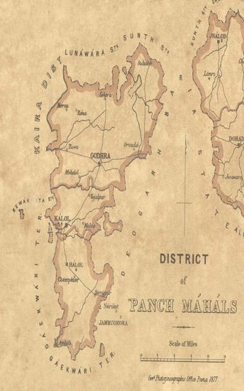
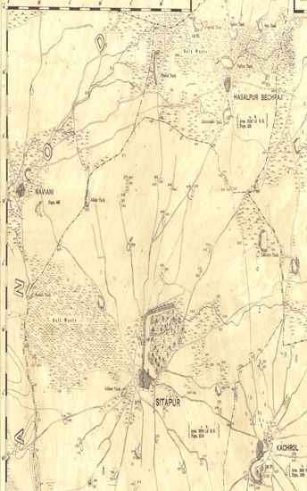
- District of Panch Mahals.
- Year: 1877
-
- Guzerat, Sheet 78 - Section 1 : Parts of the Viramgam T ...
- Year: 1877
- Author: Gopal, Govind
-
-

-
-
-

-
-
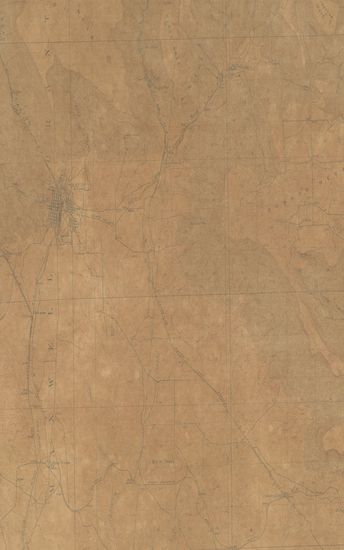
- New Mexico Colorado Raton Quadrangle Surveyed in 1911-12
- Year: 1914
- Subject: Topographic Map
- Publisher: Washington US Geological Survey 1914
- Language: English
- Place of Publication: Washington
-
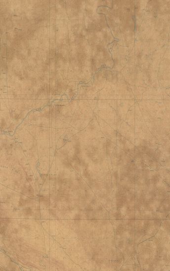
- Wyoming (carbon county) Walcott Quadrangle Surveyed in 1912
- Year: 1914
- Subject: Topographic Map
- Publisher: Washington US Geological Survey 1914
- Language: English
- Place of Publication: Washington
-
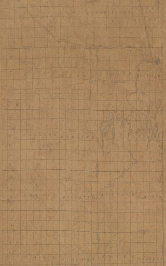
- South Dakota Redfield Quadrangle Surveyed in 1893 & 1895
- Year: 1899
- Subject: Topographic Map
- Publisher: Washington US Geological Survey 1899
- Language: English
- Place of Publication: Washington
-
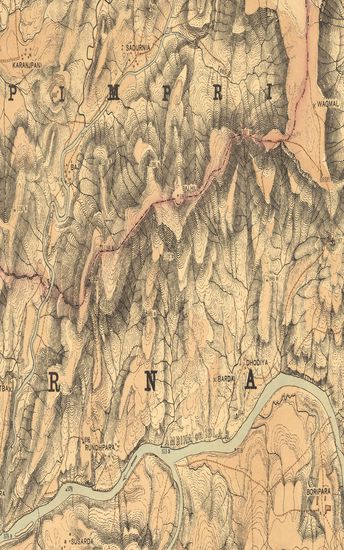
- Guzerat, Section No.4 of Sheet No.50 (Dang Forests) - Part of the Dang Vasurna State. 1879-80
- Year: 1881
- Subject: Topographic Map
- Publisher: Dehradun Office of the Trigonometrical Branch. Survey of India 1881
- Language: English
- Place of Publication: Dehradun
-
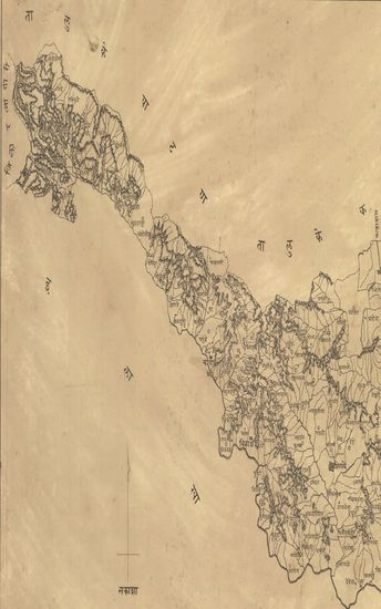
- Map of the Barsee (Barasi) Taluka of the Sholapur (Solapur) Zilla. - नकाशा बार्शी तालुका जिल्हा सोलापूर.
- Year: 1871
- Subject: Topographic Map
- Publisher: Poona (Pune) Government Photozincographic Office 1871
- Language: English
- Place of Publication: Poona (Pune)
-
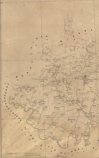
- Map of the Sholapore (Soplapur) Taluka of the Sholapore (Solapur) Zilla. नकाशा सोलापूर तालुका जिल्हा सोलापूर .
- Year: 1874
- Subject: Topographic Map
- Publisher: Poona (Pune) Government Photozincographic Office 1874
- Language: English
- Place of Publication: Poona (Pune)
-
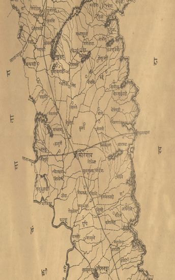
- नकाशा तालुके कोरेगांव जिल्हा सातारा . - Map of the Koregaon Taluka Satara District .
- Year: 1875
- Subject: Topographic Map
- Publisher: Poona (Pune) Government Photozincographic Office 1875
- Language: English
- Place of Publication: Poona (Pune)
-
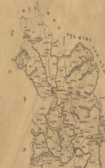
- नकाशा तालुके कऱ्हाड जिल्हा सातारा . - Map of the Karad Taluka Satara District.
- Year: 1875
- Subject: Topographic Map
- Publisher: Poona (Pune) Government Photozincographic Office 1875
- Language: English
- Place of Publication: Poona (Pune)
-
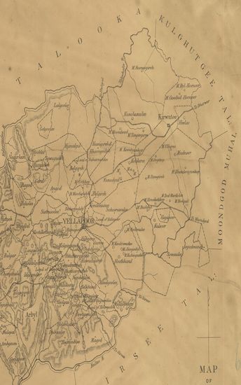
- Map of the Yellapoor Talooka of the Kanara Collectorate.
- Year: 1881
- Subject: Topographic Map
- Publisher: Poona (Pune) Government Photozincographic Office 1881
- Language: English
- Place of Publication: Poona (Pune)
-
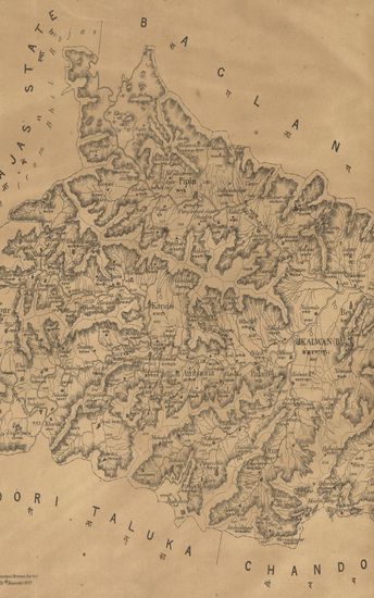
- Map of the Baglan Taluka of the Nasik (Nashik) zilla.
- Year: 1877
- Subject: Topographic Map
- Publisher: Poona (Pune) Government Photozincographic Office 1877
- Language: English
- Place of Publication: Poona (Pune)
-
- Map of the Karwar Talooka of the Canara Collectorate.
- Year: 1871
- Subject: Topographic Map
- Publisher: Poona (Pune) Government Photozincographic Office 1871
- Language: English
- Place of Publication: Poona (Pune)
-
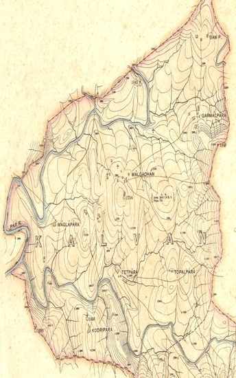
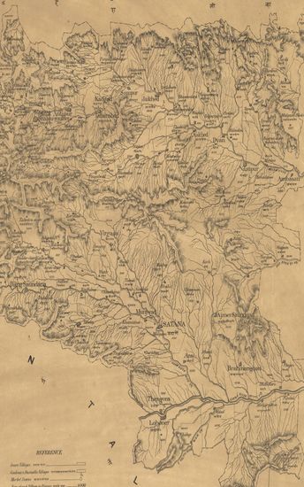
- Map of the Kalwan Taluka of the Nasik Zilla .
- Year: 1880
- Subject: Topographic Map
- Publisher: Poona (Pune) Government Photozincographic Office 1880
- Language: English
- Place of Publication: Poona (Pune)
-
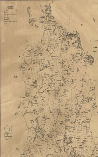
- District of Panch Mahals.
- Year: 1877
- Subject: Topographic Map
- Publisher: Poona (Pune) Government Photozincographic Office 1877
- Language: English
- Place of Publication: Poona (Pune)
-
- Guzerat, Sheet 78 - Section 1 : Parts of the Viramgam Taluka Ahmedabad Collectorate and Pathan Taluka Baroda State with a Small portion of Kattywar. (Season 1875-76)
- Year: 1877
- Author: Gopal, Govind
- Subject: Topographic Map
- Publisher: Dehradun G.T.S. Office 1877
- Language: English
- Place of Publication: Dehradun
-
- Guzerat, Section No.11 of sheet No.50 : Parts of the Kalvan Taluka of the Nasik Collectorate and of the Dang Vasurna State. 1882-83
- Year: 1885
- Subject: Topographic Map
- Publisher: Dehradun Office of the Trigonmetrical Branch : Survey of India 1885
- Language: English
- Place of Publication: Dehradun
-
- Map of the Chaleesgaum Talooka, Khandesh Collectorate. - नकाशा तालुके चाळीसगाव जिल्हा खानदेश .
- Year: 1869
- Subject: Topographic Map
- Publisher: Poona (Pune) Government Photozincographic Office 1869
- Language: English
- Place of Publication: Poona (Pune)
-
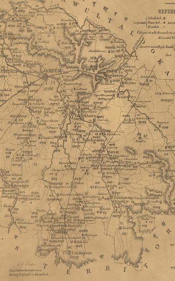
- Map of the Jamneir Taluka, Khandesh Collectorate. - नकाशा तालुके जामनेर जिल्हा खानुदेश .
- Year: 1869
- Subject: Topographic Map
- Publisher: Poona (Pune) Government Photozincographic Office 1869
- Language: English
- Place of Publication: Poona (Pune)
-
- नकाशा तालुके वाळवे जिल्हा सातारा - Map of the Taluka Walway District Satara.
- Year: 1875
- Subject: Topographic Map
- Publisher: Poona (Pune) Government Photozincographic Office 1875
- Language: English
- Place of Publication: Poona (Pune)
-
- Map of the Halol Taluka, Panch Mahal District.
- Year: 1878
- Subject: Topographic Map
- Publisher: Poona (Pune) Government Photozincographic Office 1878
- Language: English
- Place of Publication: Poona (Pune)
-
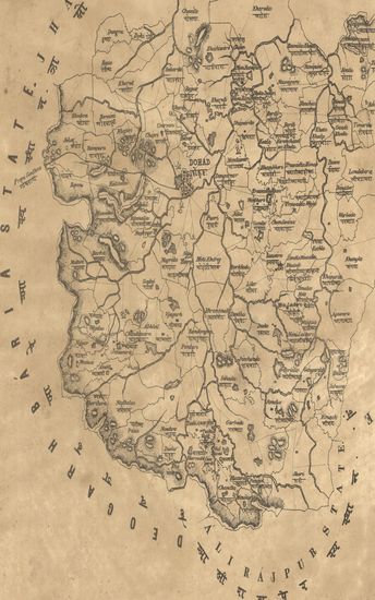
- Map of the Dohad Taluka, Panch Mahal District.
- Year: 1878
- Subject: Topographic Map
- Publisher: Poona (Pune) Government Photozincographic Office 1878
- Language: English
- Place of Publication: Poona (Pune)