-
-

-
-

-
-
-
-
-
-
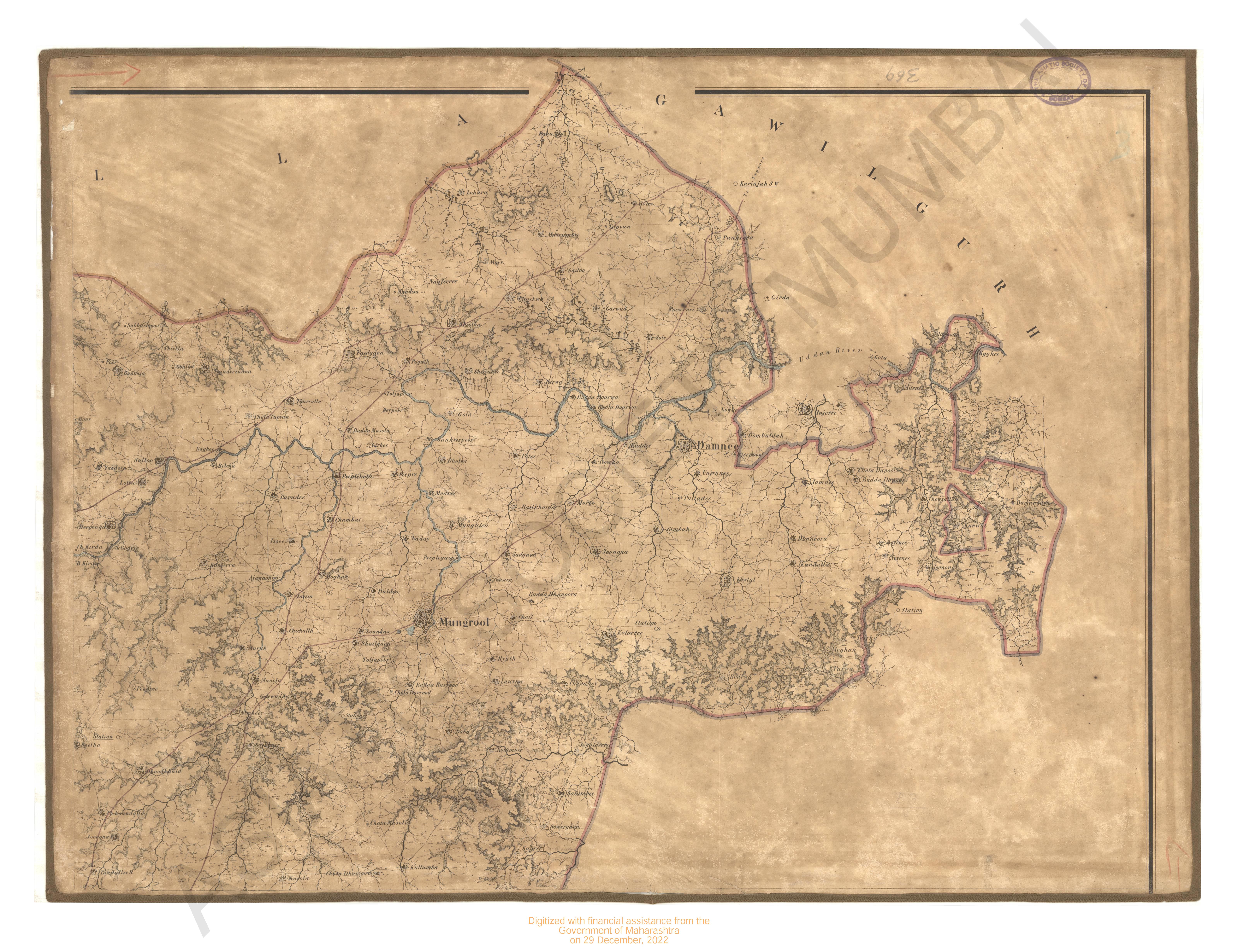
- Map of Bassin Circar in the year 1846
- Year: 1846
-
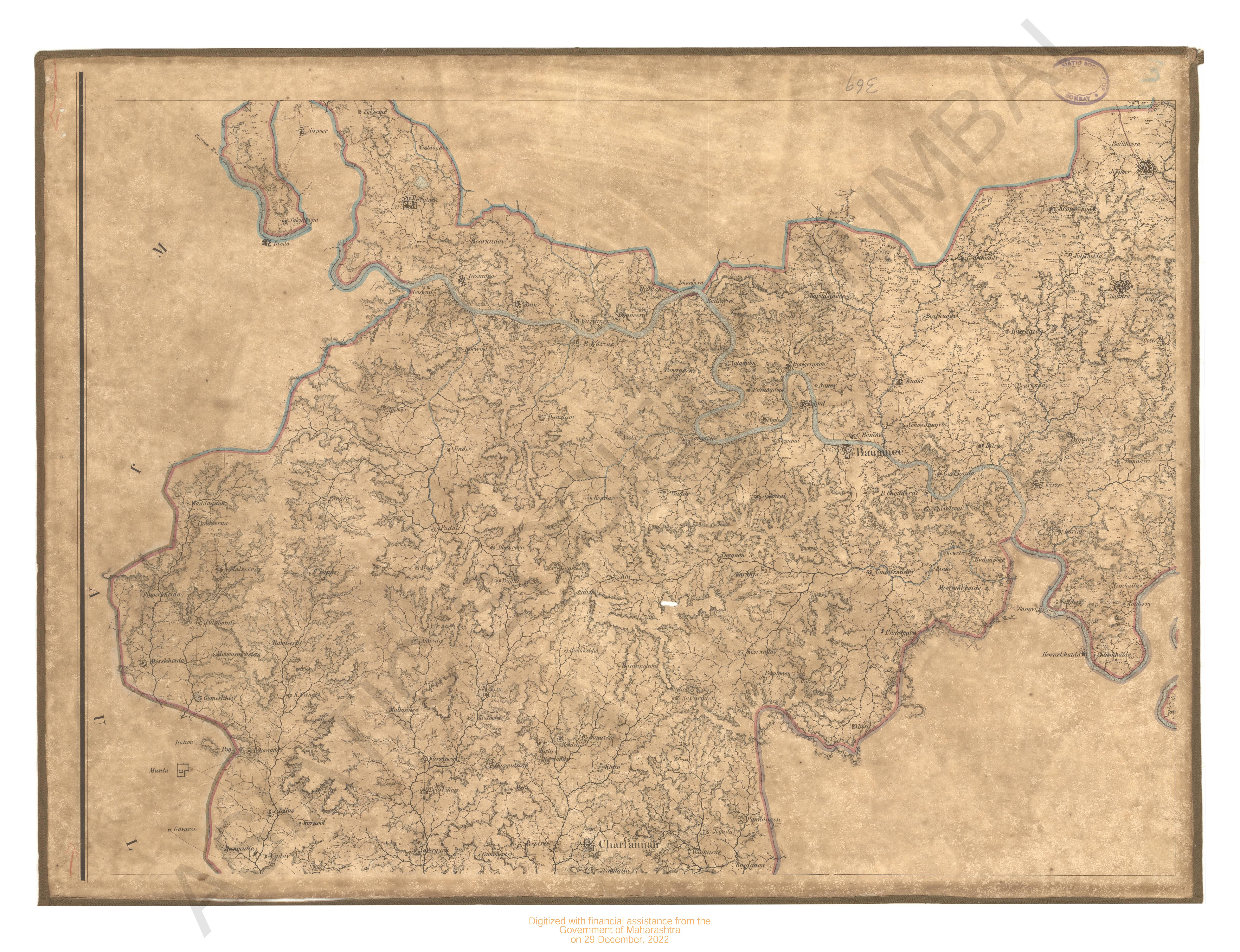
- Map of Bassin Circar in the year 1846
- Year: 1846
-
-
-

-
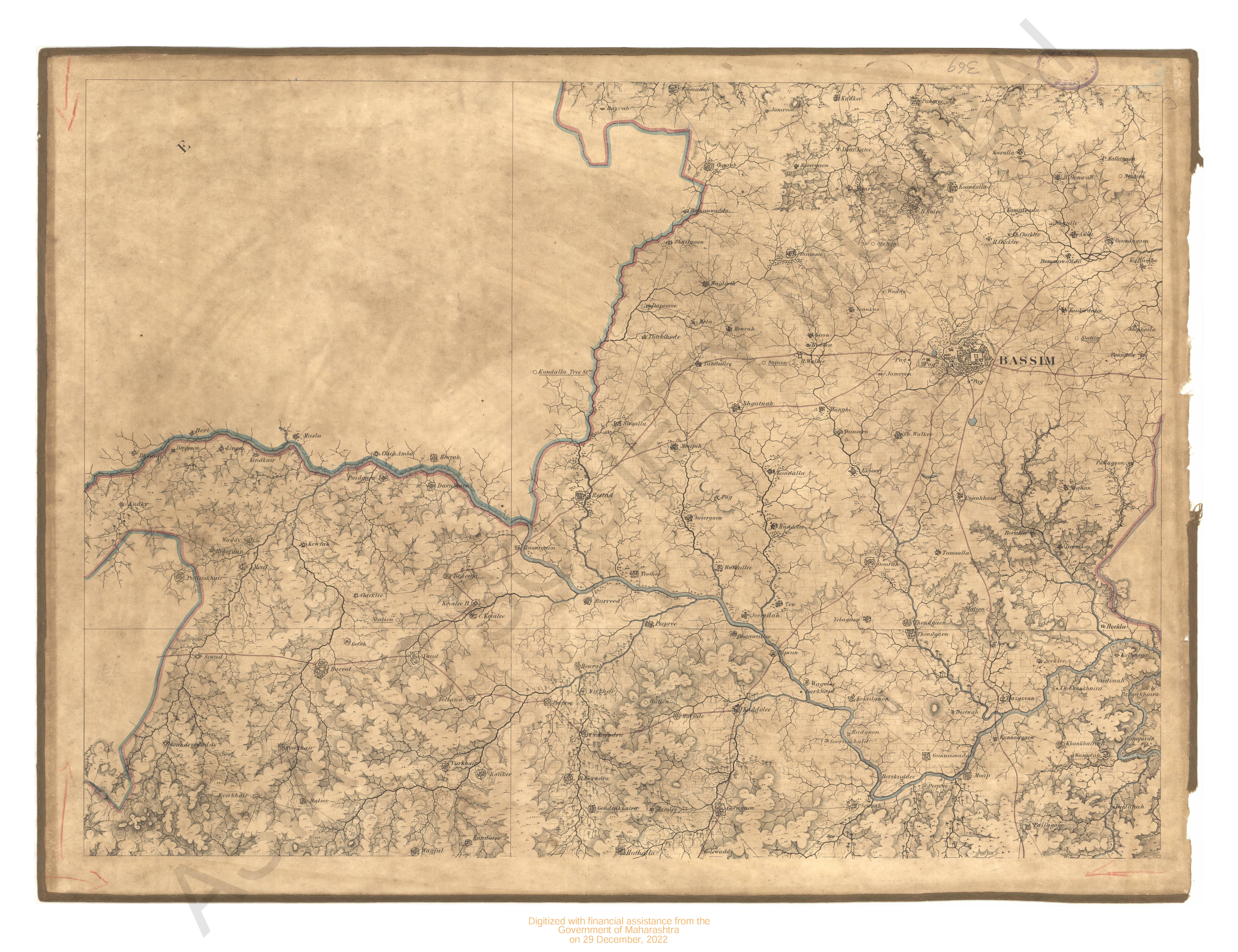
- Map of Bassin Circar in the year 1846
- Year: 1846
-
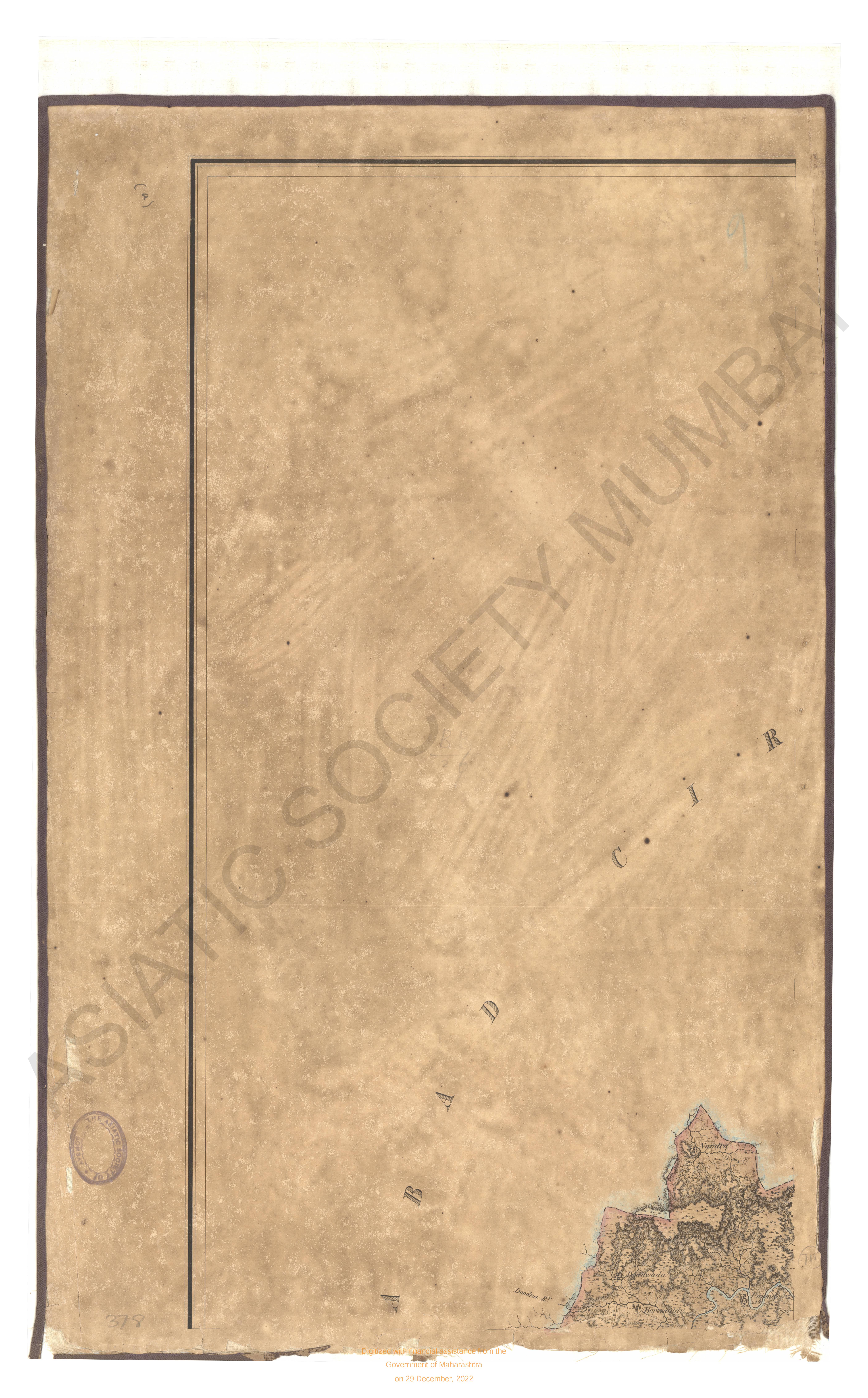
- Map of the Jaulnah Circar in the 1842 & 43
- Year: 1845
-
-
-
-
-
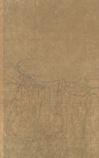
- Washington (Clallam county) Port Angeles Quadrangle Surveyed in 1917 in Cooperation with the War Department
- Subject: Topographic Map
- Publisher: Scale [5:25] Contour Interval 25 Feet
- Language: English
- Place of Publication: Scale
-
- North Dakota-Minnesota Fargo Sheet Surveyed in 1894-95
- Year: 1897
- Subject: Topographic Map
- Publisher: Washington US Geological Survey 1897
- Language: English
- Place of Publication: Washington
-
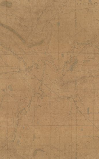
- Wyoming Como Ridge Quadrangle Surveyed in 1915
- Publisher: Scale [5:25] Contour Interval 25 Feet
- Language: English
- Place of Publication: Scale
-
- Colorado (Moffat county) Axial Quadrangle Surveyed in 1912
- Publisher: Washington US Geological Survey
- Language: English
- Place of Publication: Washington
-
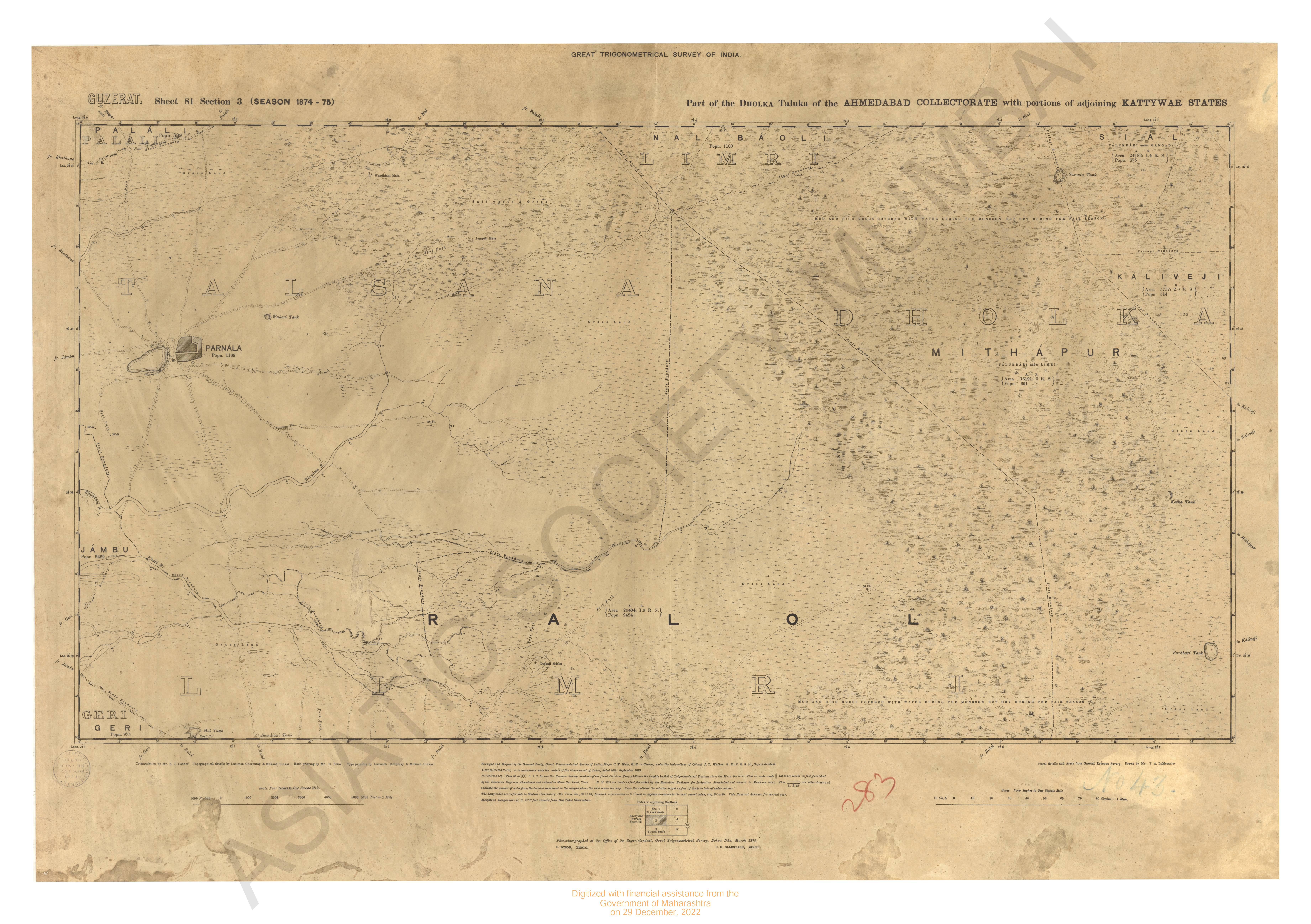
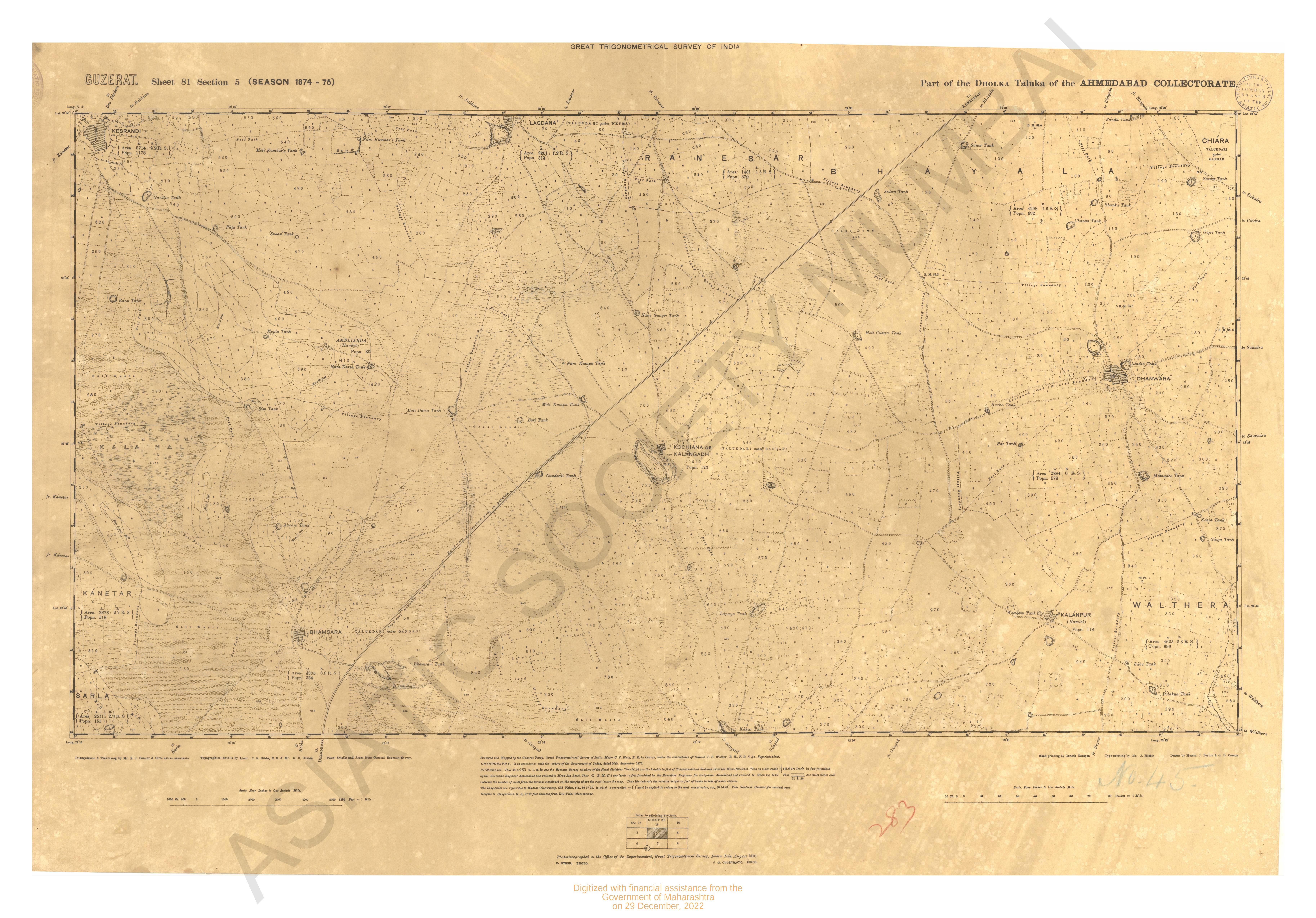
- Gujarat : parts of the Dholka taluka of the collectorate with Portions of adjoining Kathiawar season. 1874-75
- Year: 1876
- Subject: Topographic Map
- Publisher: G.T. survey office
- Language: English
- Place of Publication: Dehradun
-
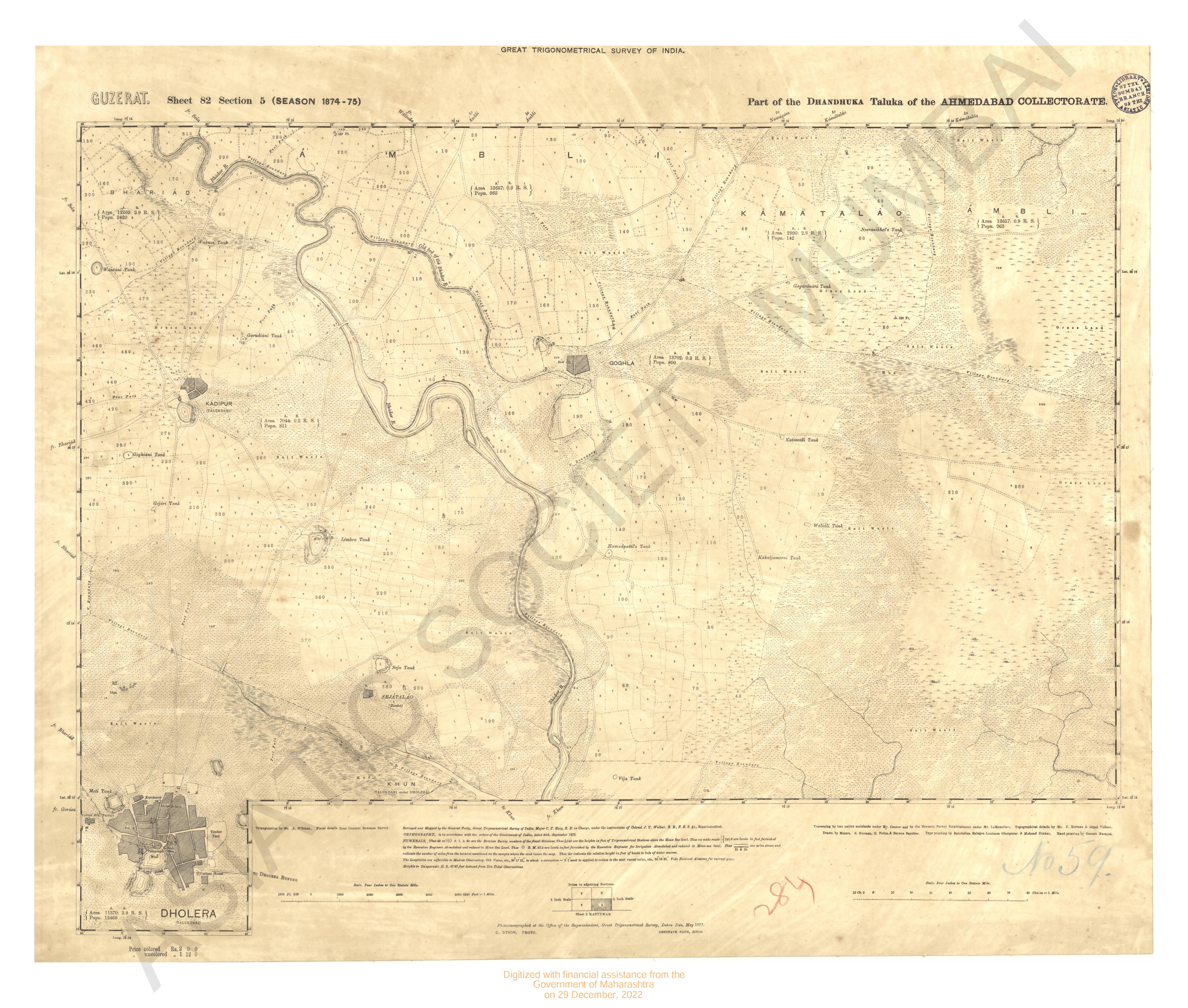
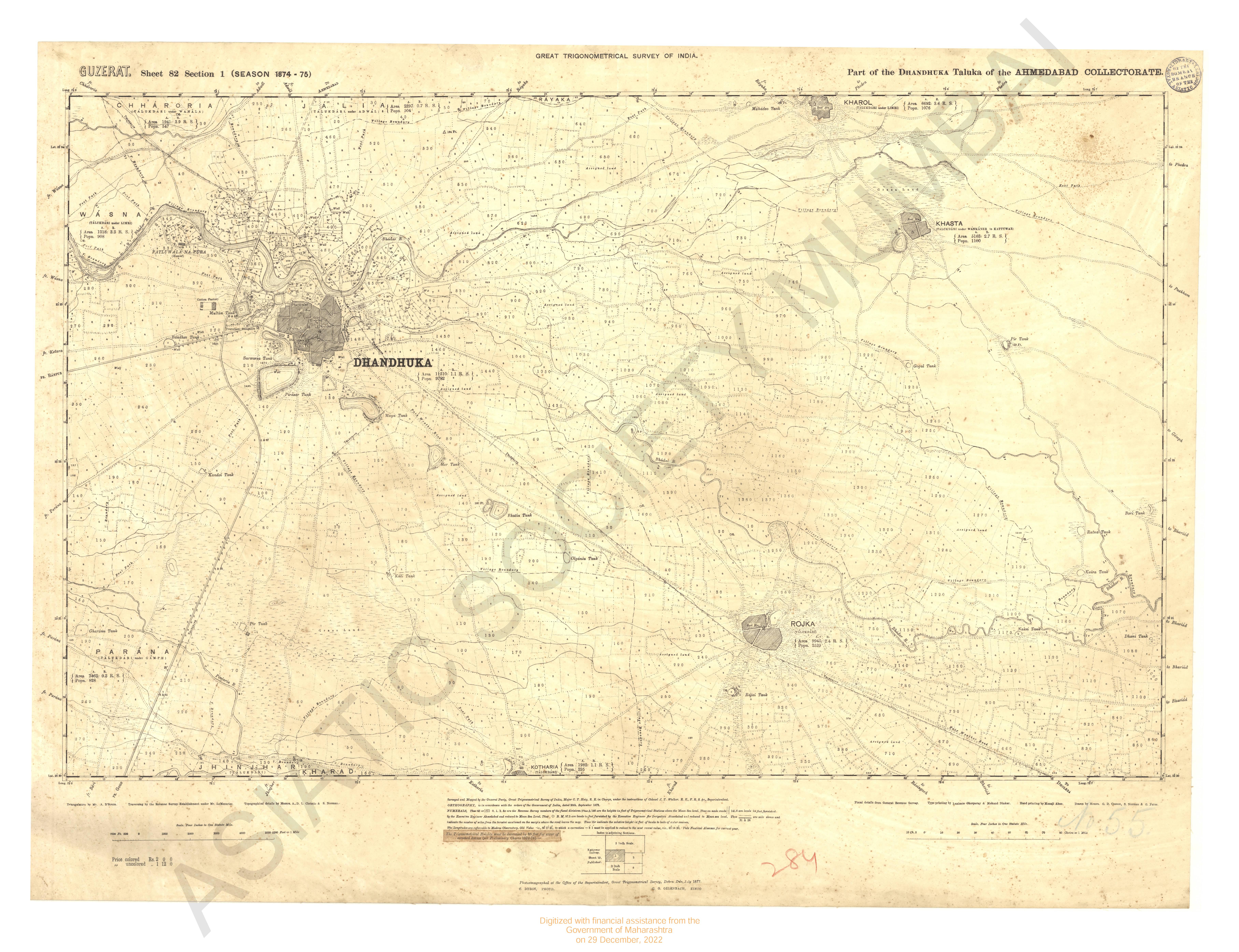
- Gujarat : parts of the Dhandhula taluka of the collectorate season 1874-75
- Year: 1877
- Subject: Topographic Map
- Publisher: G.T. S. office
- Language: English
- Place of Publication: Dehradun
-
- Gujarat : parts of the Dhandhula taluka of the collectorate season 1874-75
- Year: 1877
- Subject: Topographic Map
- Publisher: G.T. S. office
- Language: English
- Place of Publication: Dehradun
-
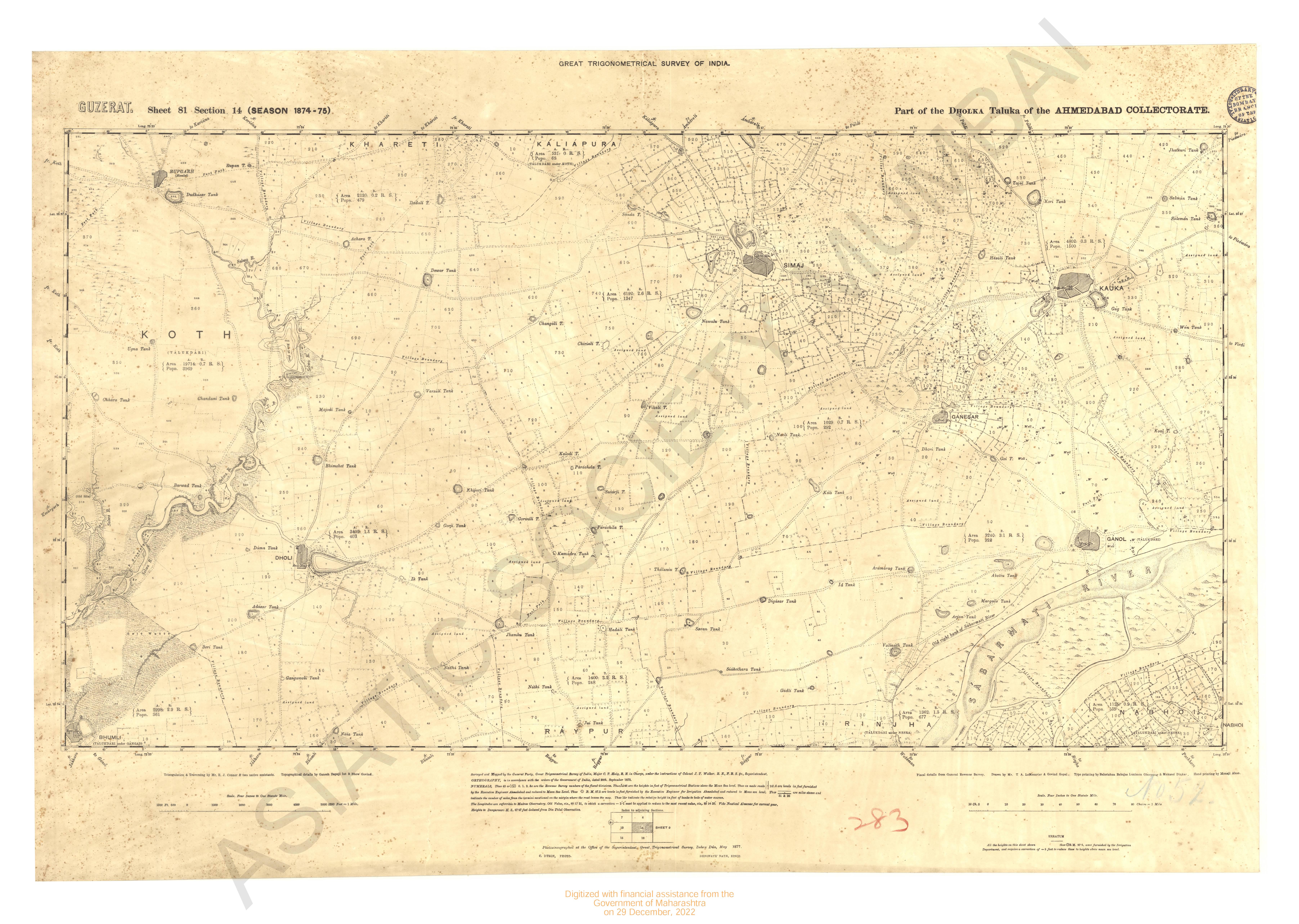
- Gujarat : parts of the Dholka taluka of the Collectorate Season 1874-75
- Year: 1877
- Subject: Topographic Map
- Publisher: G.T. S. office
- Language: English
- Place of Publication: Dehradun
-
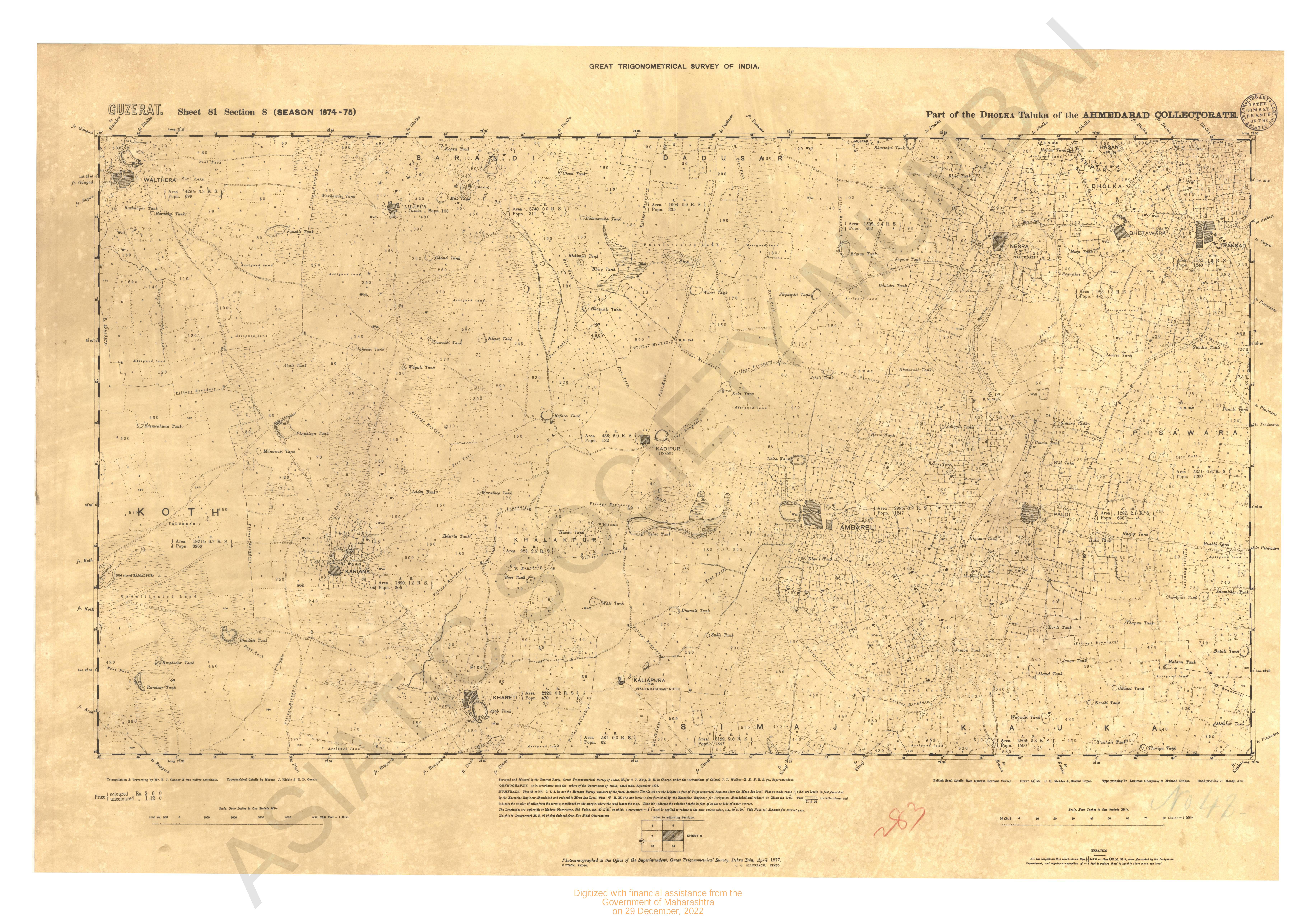
- Gujarat : parts of the Dholka taluka of the Collectorate Season 1874-75
- Year: 1877
- Subject: Topographic Map
- Publisher: G.T. S. office
- Language: English
- Place of Publication: Dehradun
-
- Map of Bassin Circar in the year 1846
- Year: 1846
- Subject: Topographic Map
- Publisher: Surveyors General's office
- Language: English
- Place of Publication: Allahabad
-
- Map of Bassin Circar in the year 1846
- Year: 1846
- Subject: Topographic Map
- Publisher: Surveyors General's office
- Language: English
- Place of Publication: Allahabad
-
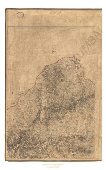
- Map of Dowlutabad (Daulatabad) Circar in the 1847
- Year: 1847
- Subject: Topographic Map
- Language: English
-
- Gujarat : parts of the Dholka taluka of the Collectorate Season 1874-75
- Year: 1876
- Subject: Topographic Map
- Publisher: G.T. survey office
- Language: English
- Place of Publication: Dehradun
-
- Gujarat : parts of the Dhandhula taluka of the collectorate season 1874-75
- Year: 1877
- Subject: Topographic Map
- Publisher: G.T. S. office
- Language: English
- Place of Publication: Dehradun
-
- Map of Bassin Circar in the year 1846
- Year: 1846
- Subject: Topographic Map
- Publisher: Surveyors General's office
- Language: English
- Place of Publication: Allahabad
-
- Map of the Jaulnah Circar in the 1842 & 43
- Year: 1845
- Subject: Topographic Map
- Publisher: Surveyors General's
- Language: English
- Place of Publication: Allahabad
-
- Map of Dowlutabad (Daulatabad) Circar in the 1847
- Year: 1847
- Subject: Topographic Map
- Language: English
-
- Map of Dowlutabad (Daulatabad) Circar in the 1847
- Year: 1847
- Subject: Topographic Map
- Language: English
-
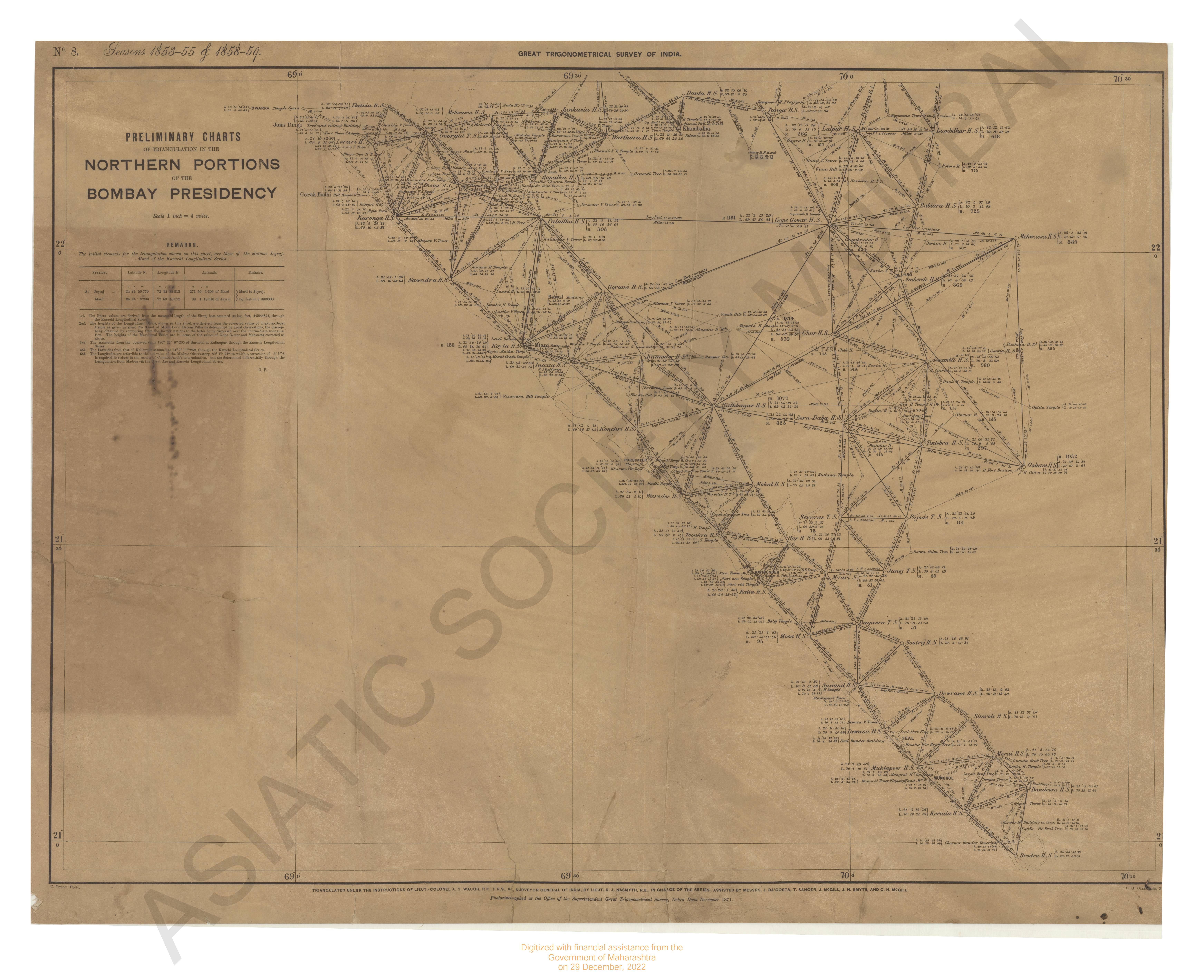
- Preliminary chart of triangulation in the Northern portion of the Bombay Presidency - Sheet No.5 season 1853-55 & 1858-59 great trignometrical survey of India.
- Year: 1871
- Subject: Topographic Map
- Publisher: Office of Surveyor General of India
- Language: English
- Place of Publication: Dehra Doon (Dehradun)
-
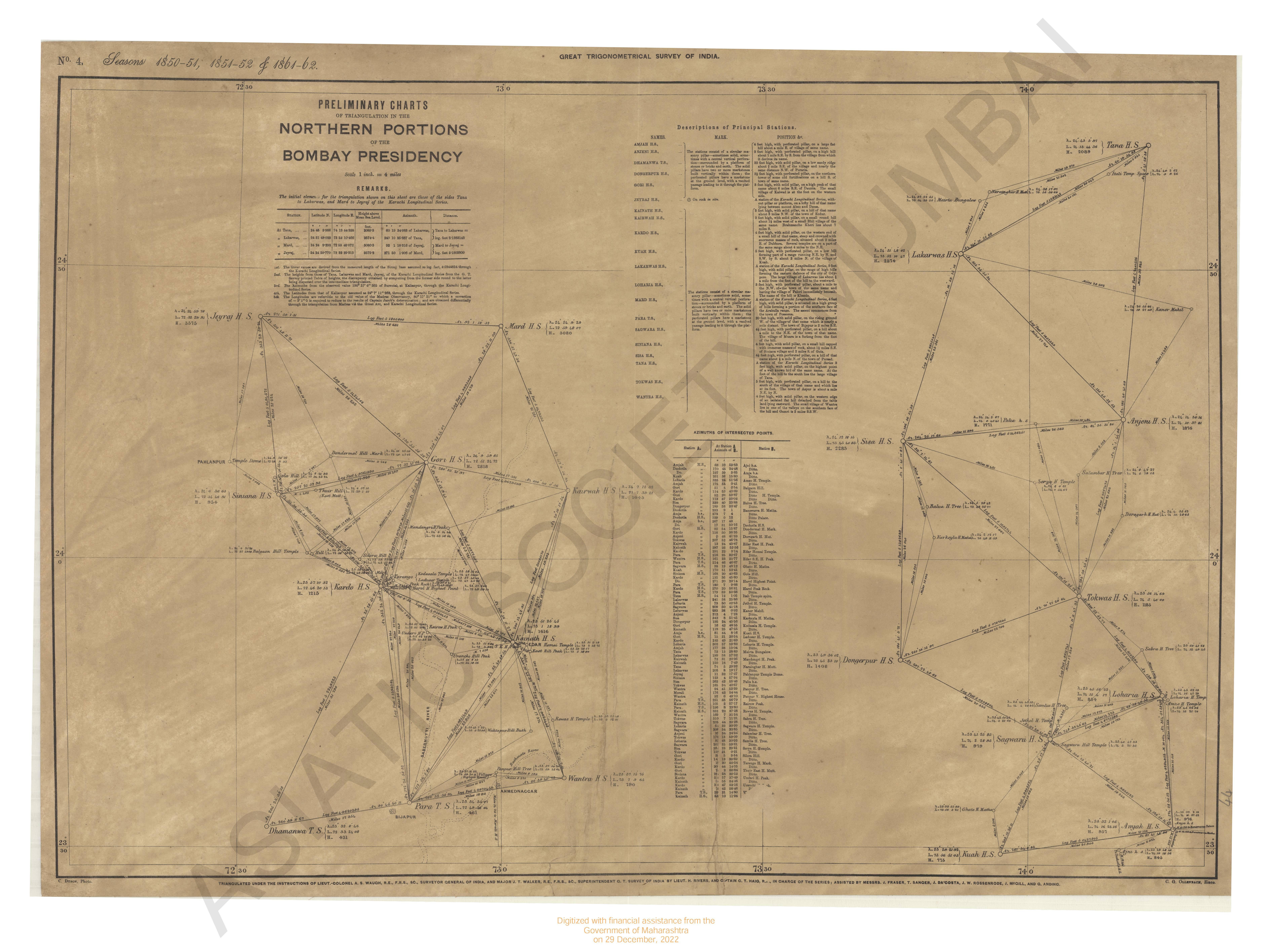
- Preliminary chart of triangulation in the Northern portion of the Bombay Presidency - Sheet No.4 season 1850-51, 1851-52 & 1861-62 great trignometrical survey of India.
- Year: 1862
- Subject: Topographic Map
- Publisher: Surveyor General's Office
- Language: English