-
-
-
-
-
-
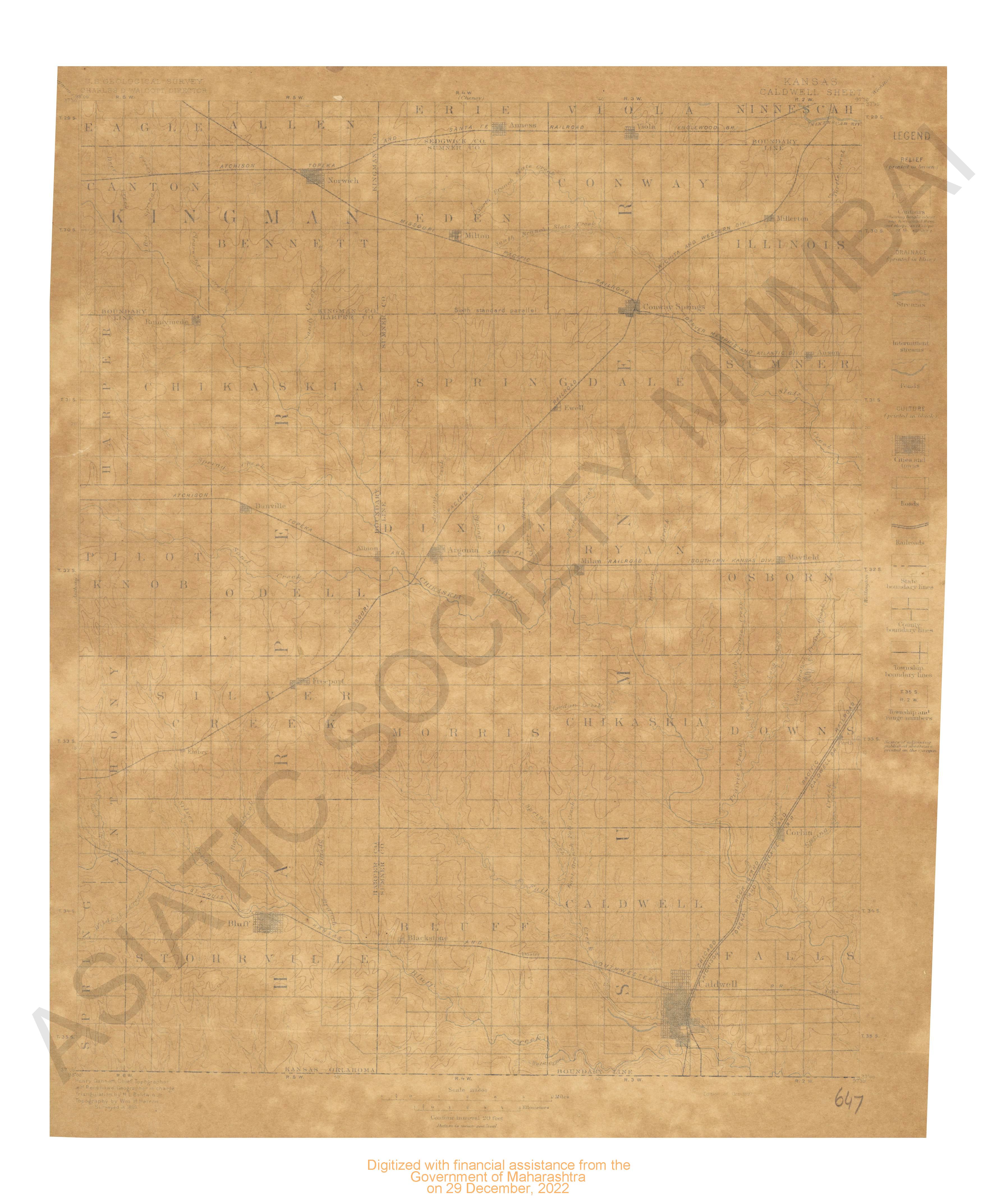
- Kansas Caldwell sheet surveyed in 1889.
- Year: 1897
-
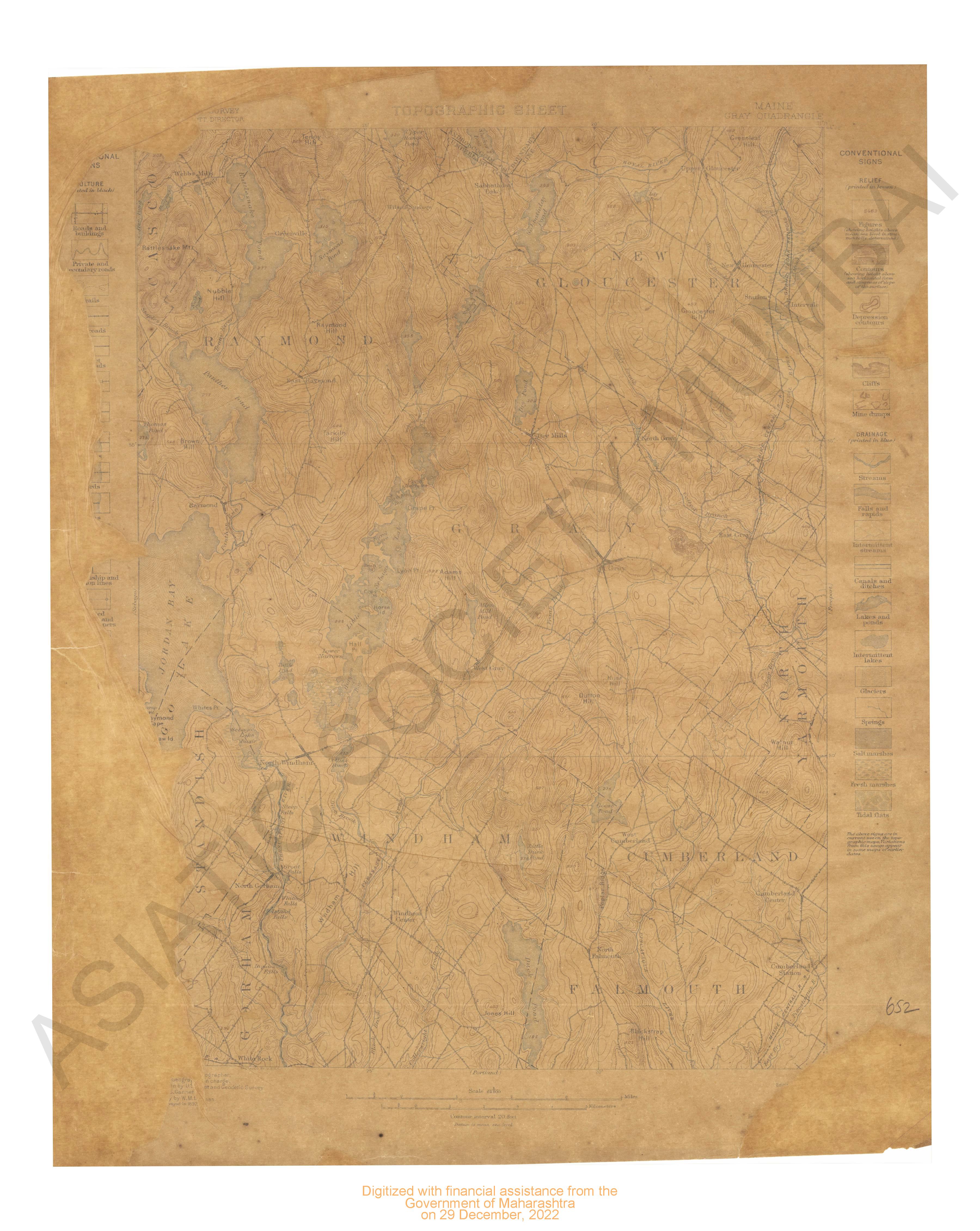
- Maine Gray quadangle surveyed in 1892.
- Year: 1898
-
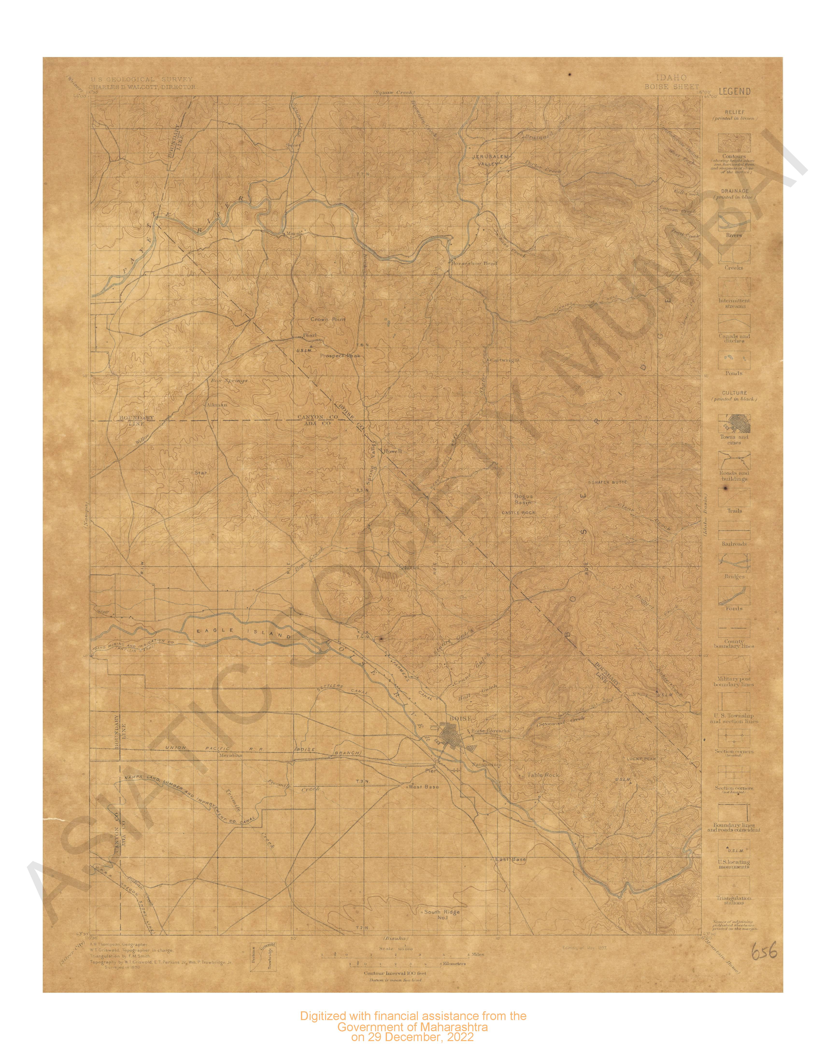
- Idaho Boise sheet surveyed in 1890.
- Year: 1897
-
-
-
-
-
-
-
-
-
-
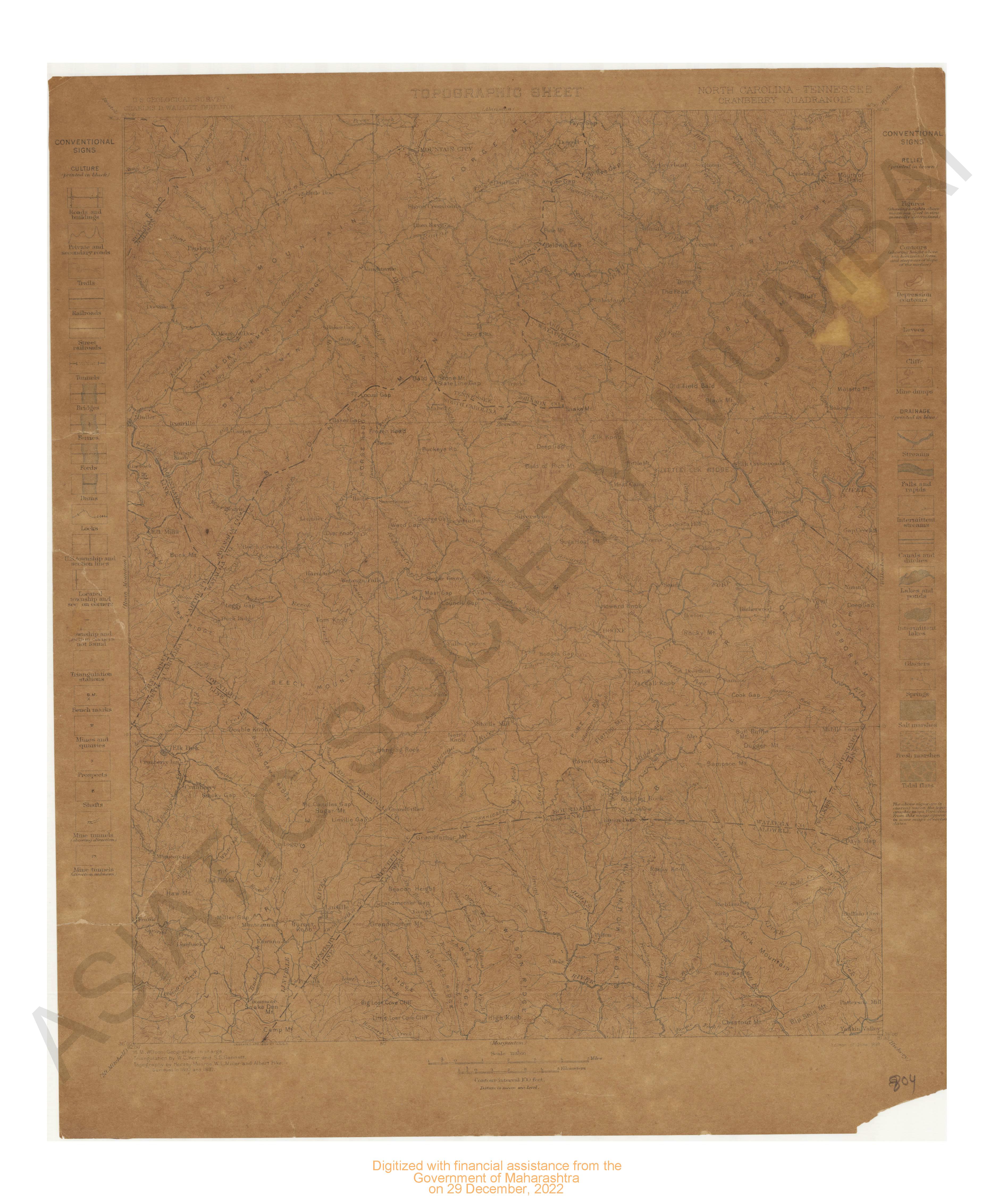
- Kentucky London Sheet Surveyed in 1891
- Year: 1897
-
-
-
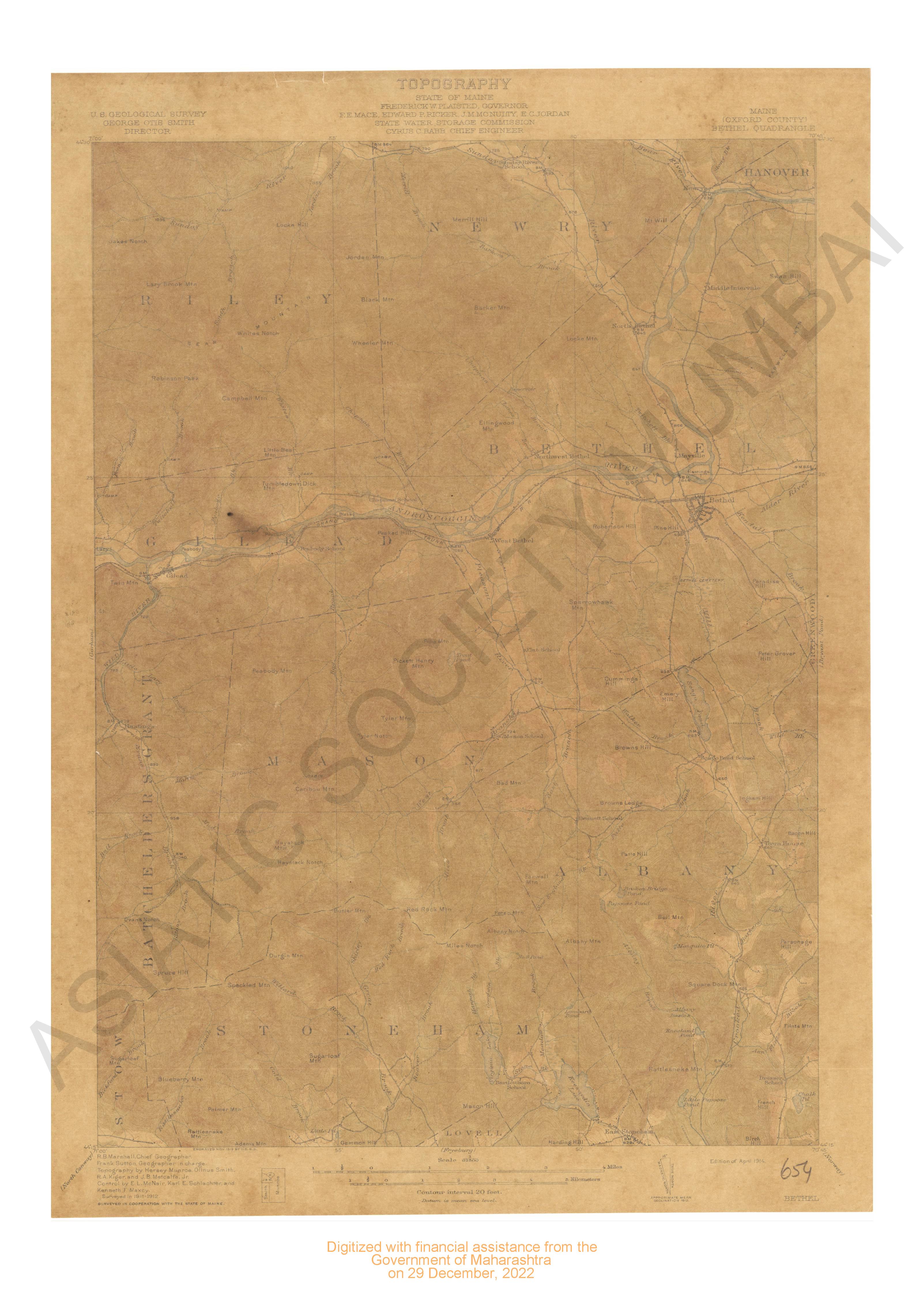
- Maine (Oxford county) Bethel quadrangle surveyed in 1911-12 in cooperation with the state of Maine.
- Year: 1914
- Subject: USGS topography
- Publisher: US geogological survey
- Language: English
- Place of Publication: Washinton
-
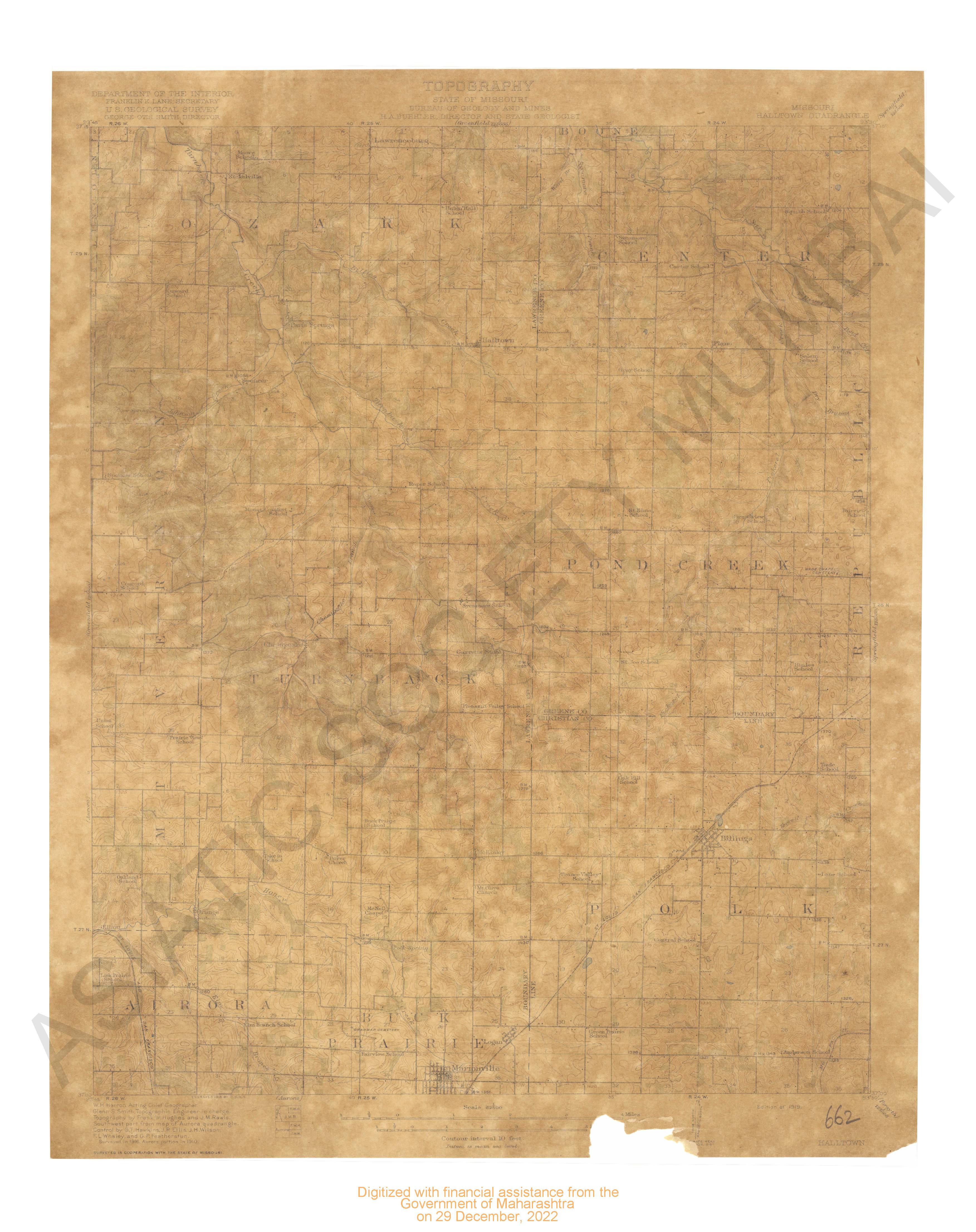
- Missouri Halltown quadrangle surveyed in 1916 portion in 1910 in cooperation with the state of
- Year: 1919
- Subject: USGS topography
- Publisher: US geogological survey
- Language: English
- Place of Publication: Washinton
-
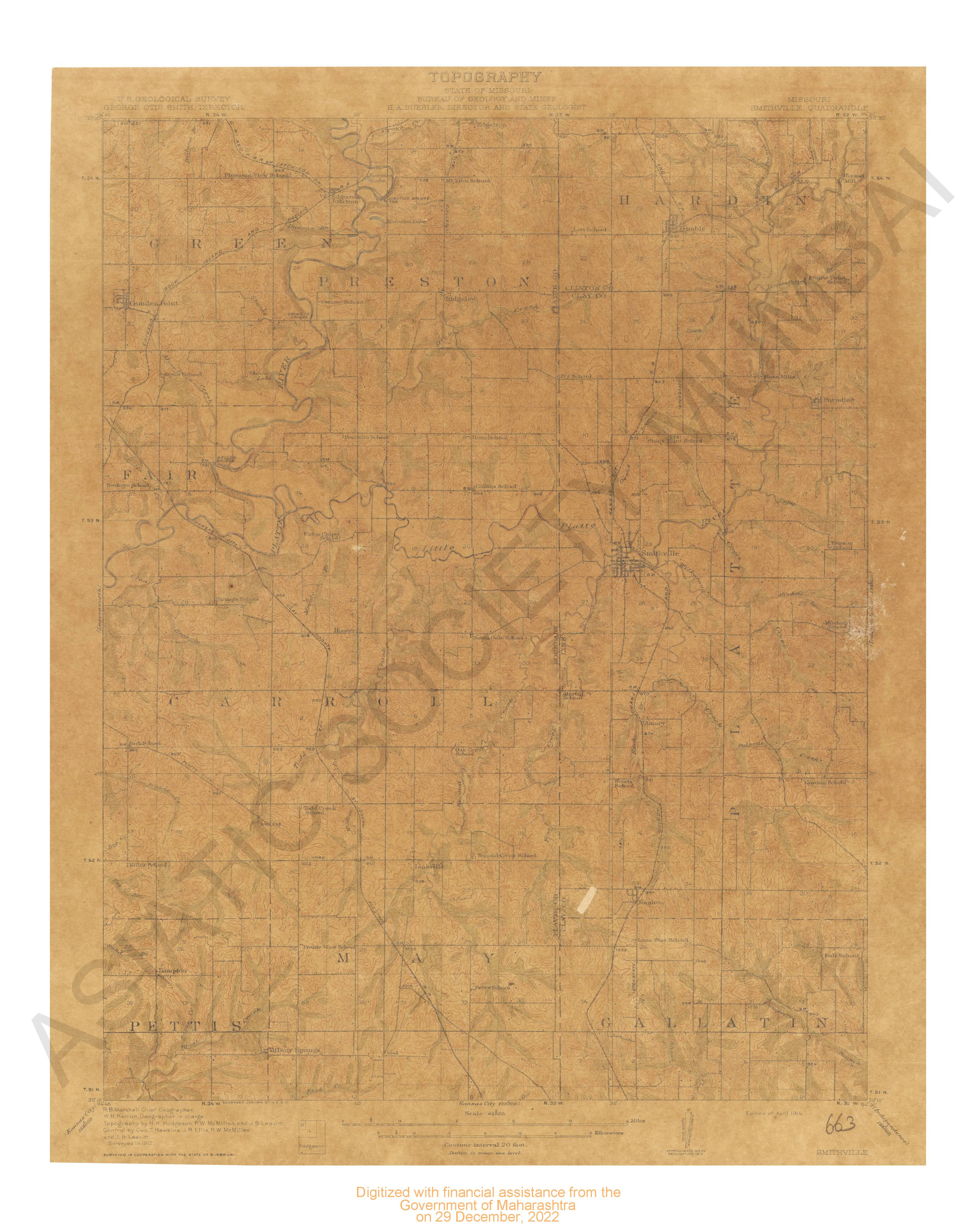
- Missouri Smithville quadrangle surveyed in 1812 in cooperation with the state of Missouri.
- Year: 1914
- Subject: USGS topography
- Publisher: US geogological survey
- Language: English
- Place of Publication: Washinton
-
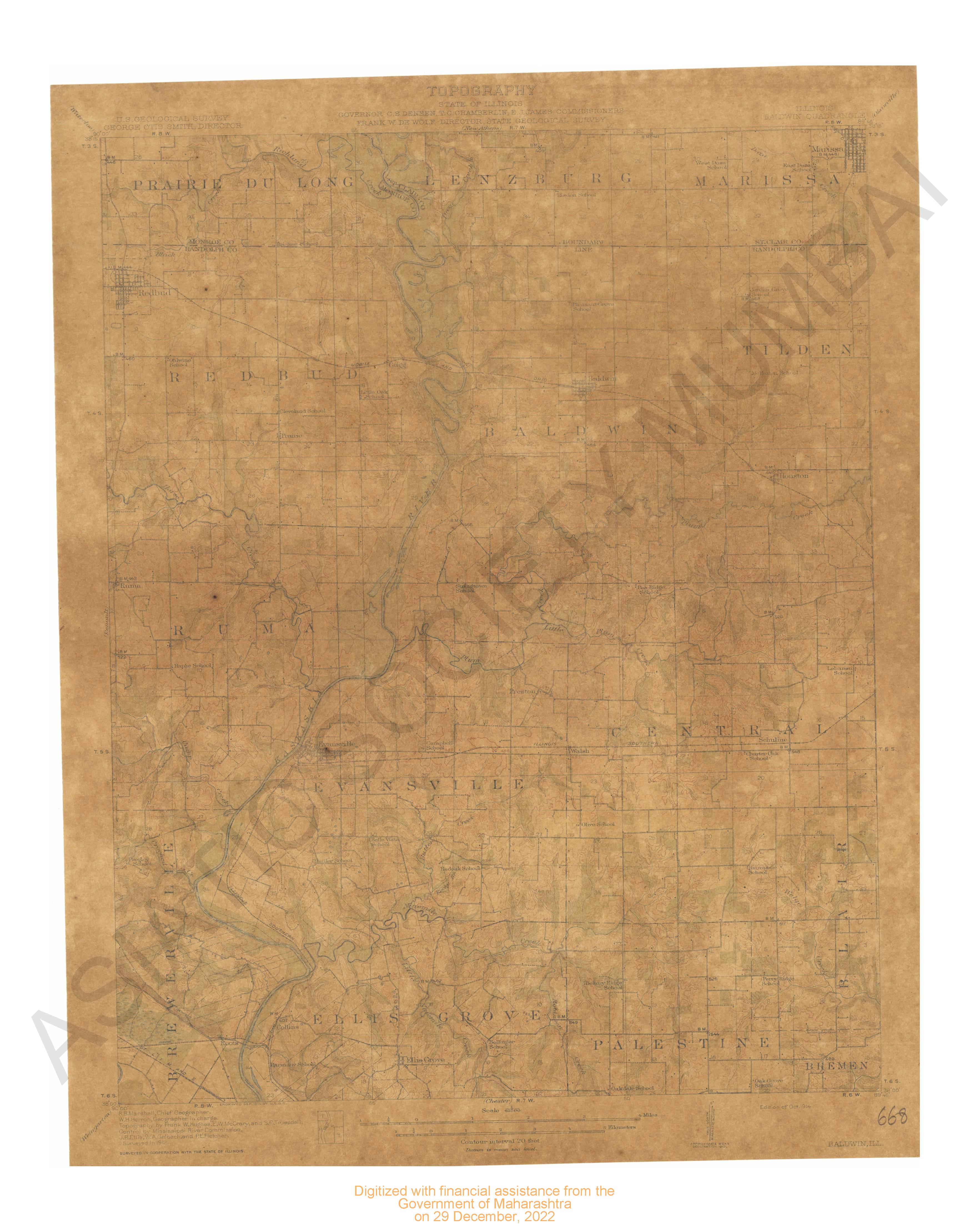
- Illinois Baldwin quadrangle surveyed in 1912 in cooperation with the state of Illinois.
- Year: 1914
- Subject: USGS topography
- Publisher: US geogological survey
- Language: English
- Place of Publication: Washinton
-
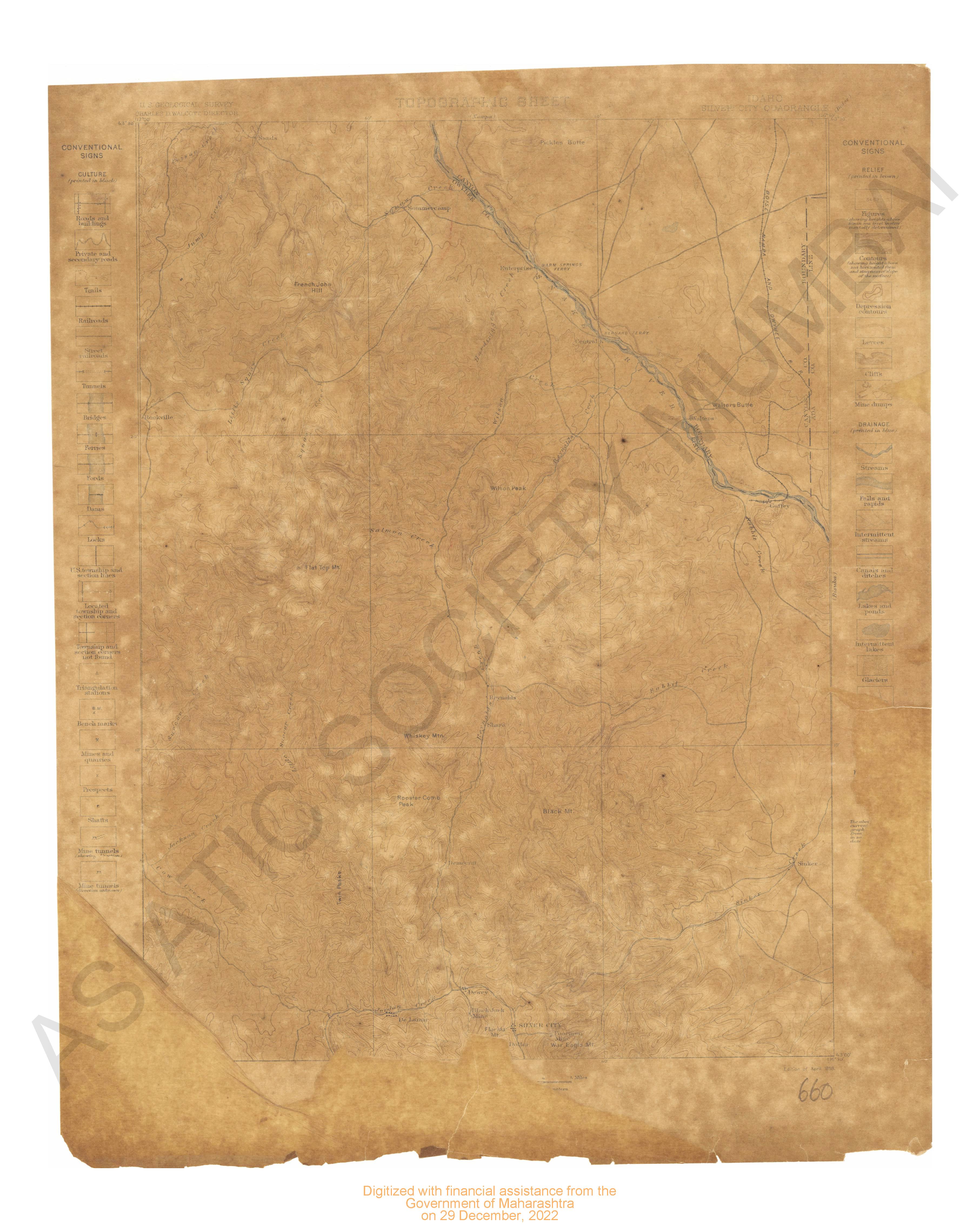
- Idahp Silver city quadrangle surveyed in 1892.
- Year: 1898
- Subject: USGS topography
- Publisher: US geogological survey
- Language: English
- Place of Publication: Washinton
-
- Kansas Caldwell sheet surveyed in 1889.
- Year: 1897
- Subject: USGS topography
- Publisher: US geogological survey
- Language: English
- Place of Publication: Washinton
-
- Maine Gray quadangle surveyed in 1892.
- Year: 1898
- Subject: USGS topography
- Publisher: US geogological survey
- Language: English
- Place of Publication: Washinton
-
- Idaho Boise sheet surveyed in 1890.
- Year: 1897
- Subject: USGS topography
- Publisher: US geogological survey
- Language: English
- Place of Publication: Washinton
-
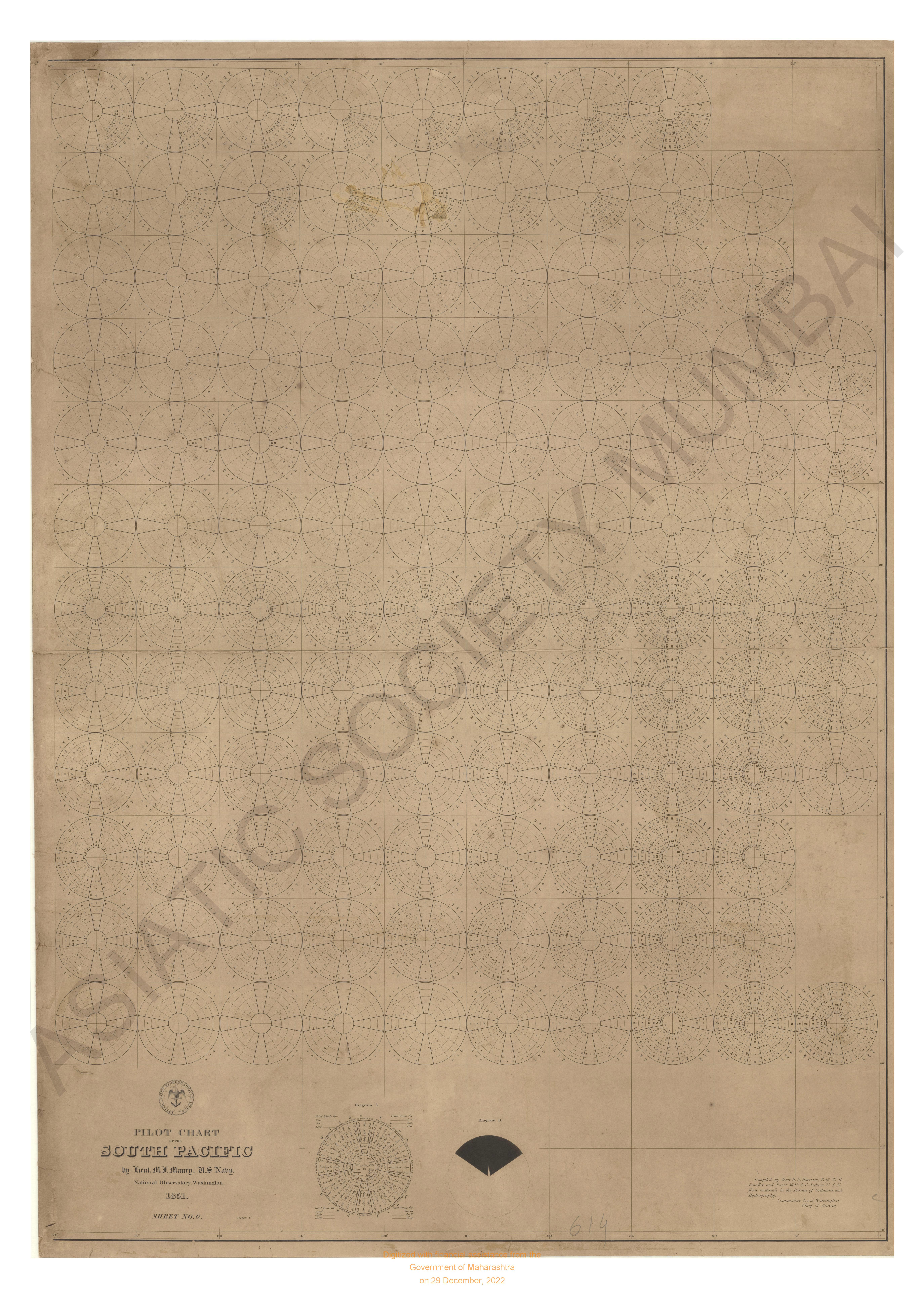
- Pilot chart of the south pacific compiled in the of ordinanace & Hydrography.
- Year: 1851
- Subject: Topographic Map
- Publisher: National Observatory
- Language: English
- Place of Publication: Washington
-
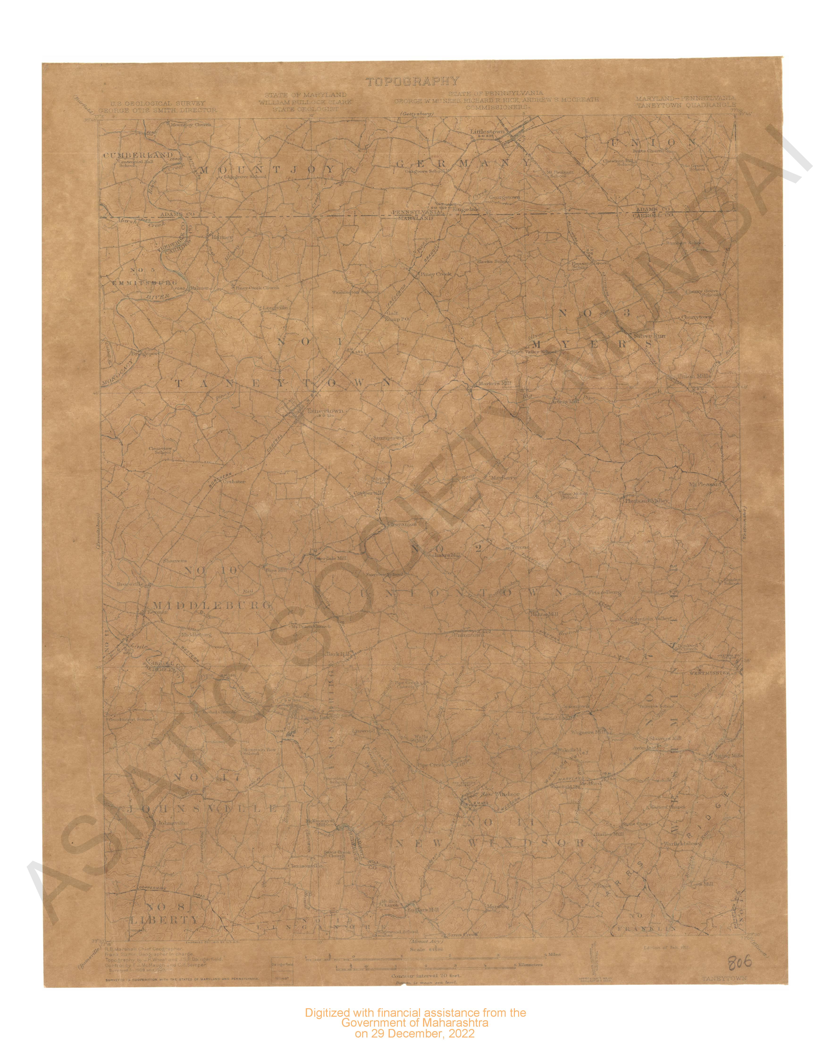
- Maryland Pennsylvania Taneytowl quadrsngle surveyed in 1908-09 in cooperation with states of Maryland Nad Pennsylvania.
- Year: 1911
- Subject: USGS topography
- Publisher: US geogological survey
- Language: English
- Place of Publication: Washinton
-
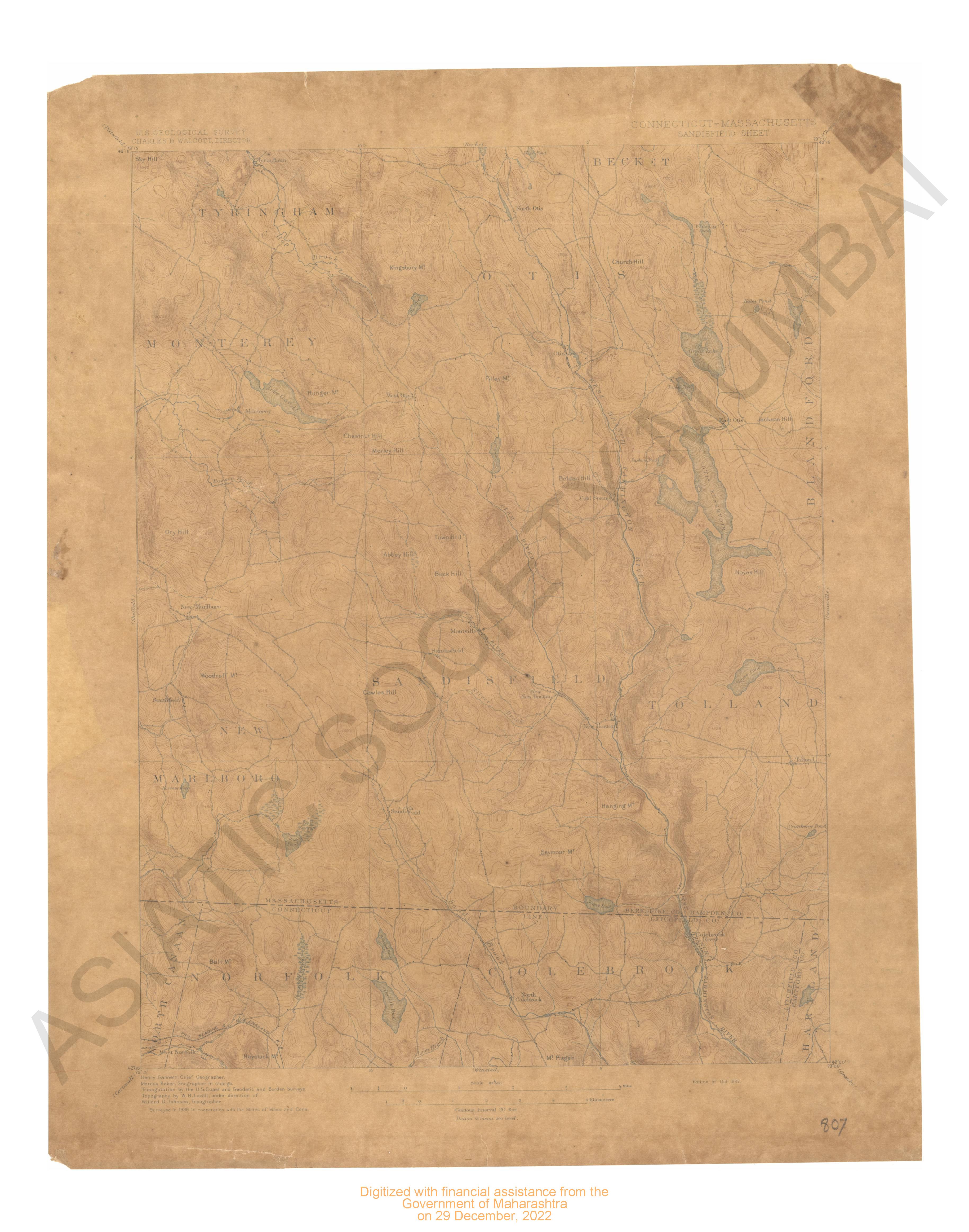
- Connecticut Massachusettes Sandisfielt sheet surveyed in 1886 in cooperation with states of Massachusettes and connecticut.
- Year: 1897
- Subject: USGS topography
- Publisher: US geogological survey
- Language: English
- Place of Publication: Washinton
-
- Michigan Baycity Quadrangle Surveyed in 1916 in Cooperation With the State of Michigan
- Year: 1919
- Subject: Topographic Map
- Publisher: Washington US Geological Survey 1919
- Language: English
- Place of Publication: Washington
-
- Kentucky Harlan Quadrangle Surveyed in 1916 in Cooperation With the State of Kentucky
- Year: 1919
- Subject: Topographic Map
- Publisher: Washington US Geological Survey 1919
- Language: English
- Place of Publication: Washington
-
- Montana ( Flatehead county) Nyack Quadrangle in 1907 & 1910-912
- Year: 1914
- Subject: Topographic Map
- Publisher: Washingron US Geological Survey 1914
- Language: English
- Place of Publication: Washingron
-
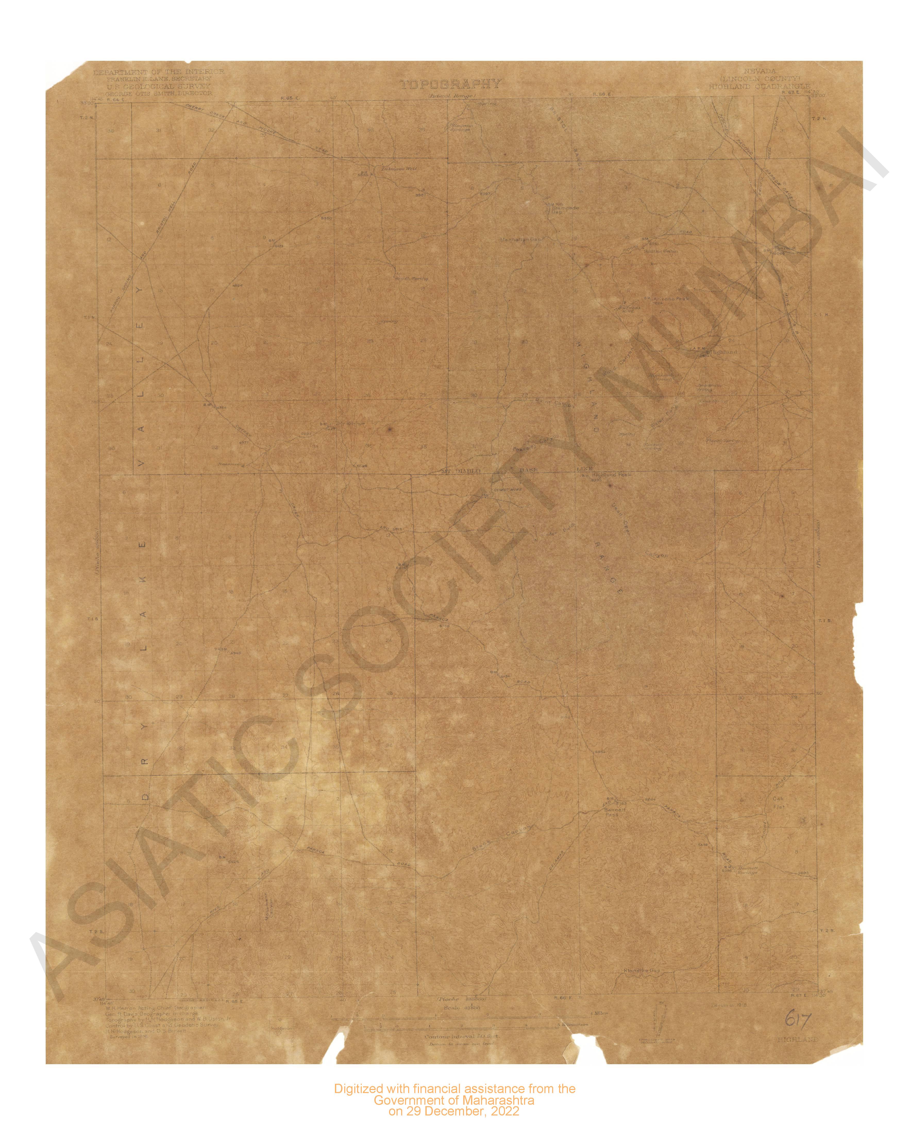
- Nevada (Lincoln county) Hifghland quadrangle USA geogological survey in 1916.
- Year: 1918
- Subject: USGS topography
- Publisher: US geogological survey
- Language: English
- Place of Publication: Washington
-
- Montana ( Valley county) porcupine valley surveyed in 1909-1910
- Year: 1918
- Subject: Topographic Map
- Publisher: Washinngton US Geological Survey 1918
- Language: English
- Place of Publication: Washinngton
-
- Montana (Choutea county) Kremlin Quadrangle Surveyed in 1904
- Year: 1906
- Subject: Topographic Map
- Publisher: Washignton US Geological Survey 1906
- Language: English
- Place of Publication: Washignton
-
- Kentucky London Sheet Surveyed in 1891
- Year: 1897
- Subject: Topographic Map
- Publisher: Washington US Geological Survey 1897
- Language: English
- Place of Publication: Washington
-
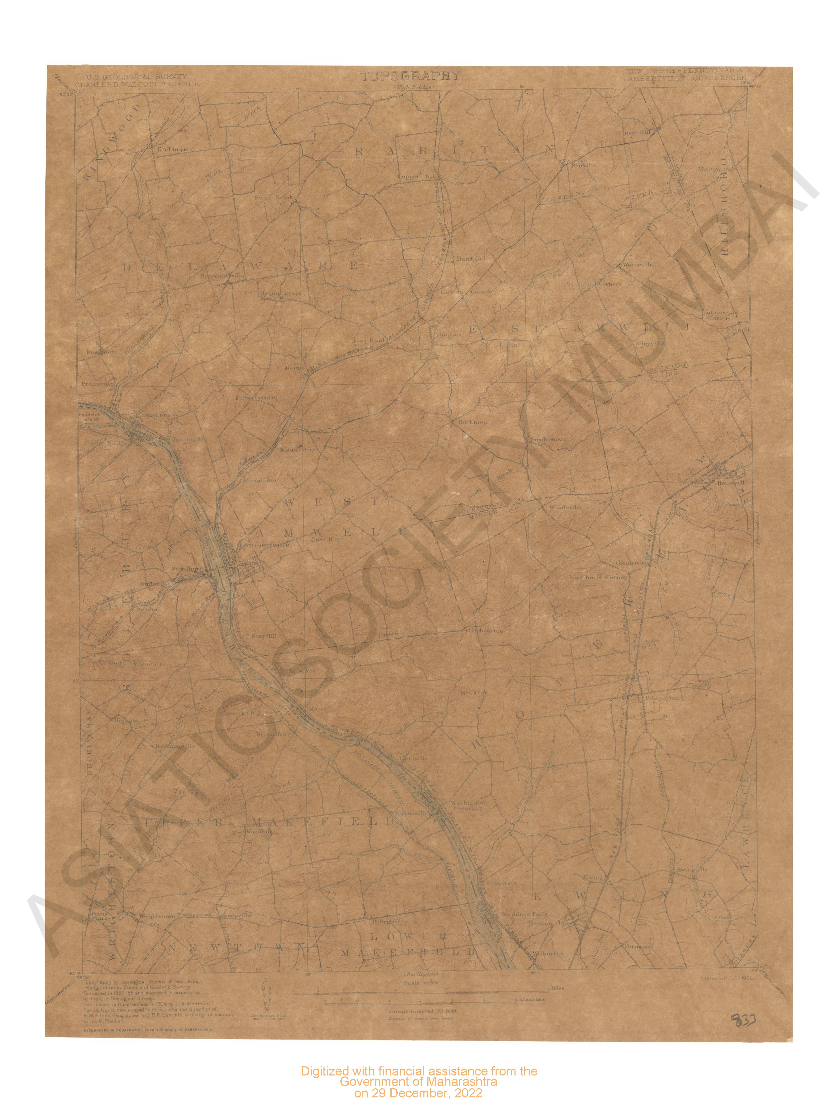
- New Jersey- Pennsylvania Lambertville quadrangle surveyed in 1887-88. New Jersey culture revised in 1904 & Pennsylvnia resurveyed in 1905 in cooperation with state of Pennsylvania.
- Year: 1906
- Subject: USGS topography
- Publisher: US geogological survey
- Language: English
- Place of Publication: Washinton
-
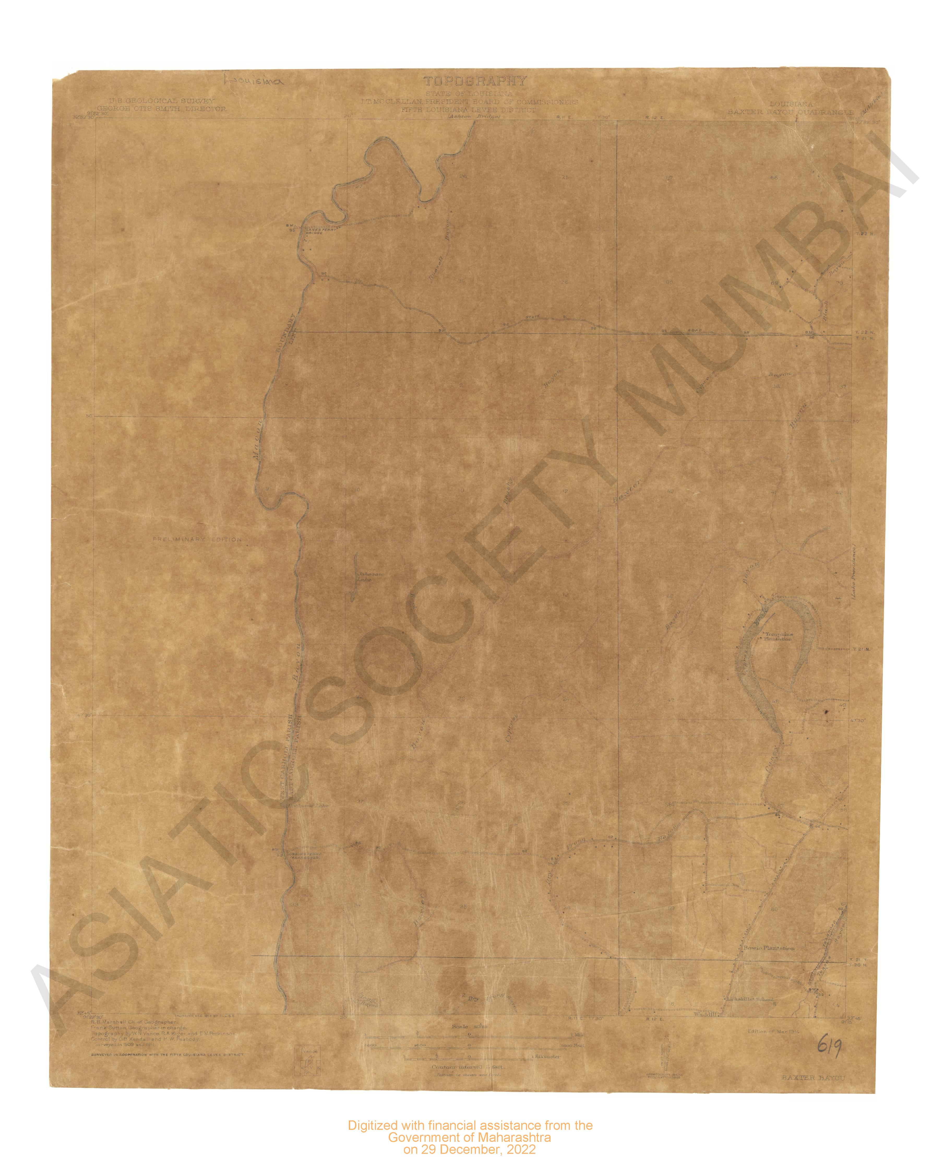
- Lousiana Baxter Bayou quadrangle surveyed in 1909 & 1911 in corporation with the 5th Lousiana levee district.
- Year: 1914
- Subject: USGS topography
- Publisher: US geogological survey
- Language: English
- Place of Publication: Washington