-
- 2 Views
-
-
- 3 Views
- Environs Calcutta, Sheet No.3
- Year: 1861
-
- 2 Views
- Environs Calcutta, Sheet No.4
- Year: 1861
-
- 1 View

- Environs Calcutta, Sheet No.2
- Year: 1861
-
- 2 Views
-
- 1 View
-
- 5 Views
-
- 2 Views
- India; Telegraphy of 1894
- Year: 1894
-
- 1 View
-
-
-
- Ceylon N.W.part approaches to Jafnapatam
- Year: 1878
-
- 1 View
- India; Telegraphy map of 1889
- Year: 1889
-
- 1 View

-

-
- 2 Views
- City of Nagpoor 1865
- Year: 1870
-
- 3 Views
-
- 2 Views
-
- 2 Views
-
- Ferozpoor; cantoments & environs of 1868-69. Punjab cantoment survey
- Year: 1870
- Subject: Topographic Map
- Publisher: Surveyor General's
- Language: English
- Place of Publication: Calcutta
- 2 Views
-
- Jalindhur, cantoments and city of 1868-69. Punjab Revenue Survey
- Year: 1870
- Subject: Topographic Map
- Publisher: Surveyor General's
- Language: English
- Place of Publication: Calcutta
-
- Environs Calcutta, Sheet No.3
- Year: 1861
- Subject: Topographic Map
- Publisher: Surveyor General's
- Language: English
- Place of Publication: Calcutta
- 3 Views
-
- Environs Calcutta, Sheet No.4
- Year: 1861
- Subject: Topographic Map
- Publisher: Surveyor General's
- Language: English
- Place of Publication: Calcutta
- 2 Views
-
- Environs Calcutta, Sheet No.2
- Year: 1861
- Subject: Topographic Map
- Publisher: Surveyor General's
- Language: English
- Place of Publication: Calcutta
- 1 View
-
- Tonk in Rajpootana, city and environs of 1868-69. Rajpootana topographical survey
- Year: 1870
- Subject: Topographic Map
- Publisher: Surveyor General's
- Language: English
- Place of Publication: Calcutta
- 2 Views
-
- Map of the plateau of Mount Aboo in Rajpootana,1870.
- Year: 1871
- Subject: Topographic Map
- Publisher: Surveyor General's Office
- Language: English
- Place of Publication: Calcutta
- 1 View
-
- Mount Aboo in Rajpootana; map of the Plateaux of 1870
- Year: 1871
- Subject: Topographic Map
- Publisher: Surveyor General's
- Language: English
- Place of Publication: Calcutta
- 5 Views
-
- India; Telegraphy of 1894
- Year: 1894
- Subject: Topographic Map
- Publisher: Survey of India Offices
- Language: English
- Place of Publication: Calcutta
- 2 Views
-
- Ceylon S.W. coastm approaches to point De Galle Harbour; including the Gindurah & Bellows rocks.
- Year: 1877
- Subject: Topographic Map
- Publisher: Marine Surveyor Department
- Language: English
- Place of Publication: Calcutta
- 1 View
-
- Plan of the Cantonments and Civil station Mount Aboo in Rajpootana, 1870
- Year: 1871
- Subject: Topographic Map
- Publisher: Surveyor General's Office
- Language: English
- Place of Publication: Calcutta
-
- Mount Aboo in Rajpootana; map of the Plateaux of 1870
- Year: 1871
- Subject: Topographic Map
- Publisher: Surveyor General's
- Language: English
- Place of Publication: Calcutta
-
- Ceylon N.W.part approaches to Jafnapatam
- Year: 1878
- Subject: Topographic Map
- Publisher: Marine Surveyor Department
- Language: English
- Place of Publication: Calcutta
-
- India; Telegraphy map of 1889
- Year: 1889
- Subject: Topographic Map
- Publisher: Survey of India Offices
- Language: English
- Place of Publication: Calcutta
- 1 View
-
- Districts Bunno and Derah Ishmaeel Khan with the kabul kheyl and Mahsood Wuhsood Wuzeree Hills. Upper Derahjat 1856-61.
- Year: 1864
- Subject: Topographic Map
- Publisher: Marine Surveyor Department
- Language: English
- Place of Publication: Calcutta
- 1 View
-
- Derah Ghasze khan district, lower Derahjat, 1856-59
- Year: 1861
- Subject: Topographic Map
- Publisher: Marine Surveyor Department
- Language: English
- Place of Publication: Calcutta
-
- City of Nagpoor 1865
- Year: 1870
- Subject: Topographic Map
- Publisher: Surveyor General's
- Language: English
- Place of Publication: Calcutta
- 2 Views
-
- Plan of Rohree, sukkur and Fort Bukkur, surveyed in February and March 1856
- Year: 1870
- Subject: Topographic Map
- Publisher: Surveyor General's
- Language: English
- Place of Publication: Calcutta
- 3 Views
-
- Almora & Garhwal districts season 1872-74 No. 246 : United provinces
- Year: 1877
- Subject: Topographic Map
- Publisher: Surveyor General's Office
- Language: English
- Place of Publication: Calcutta
- 2 Views
-
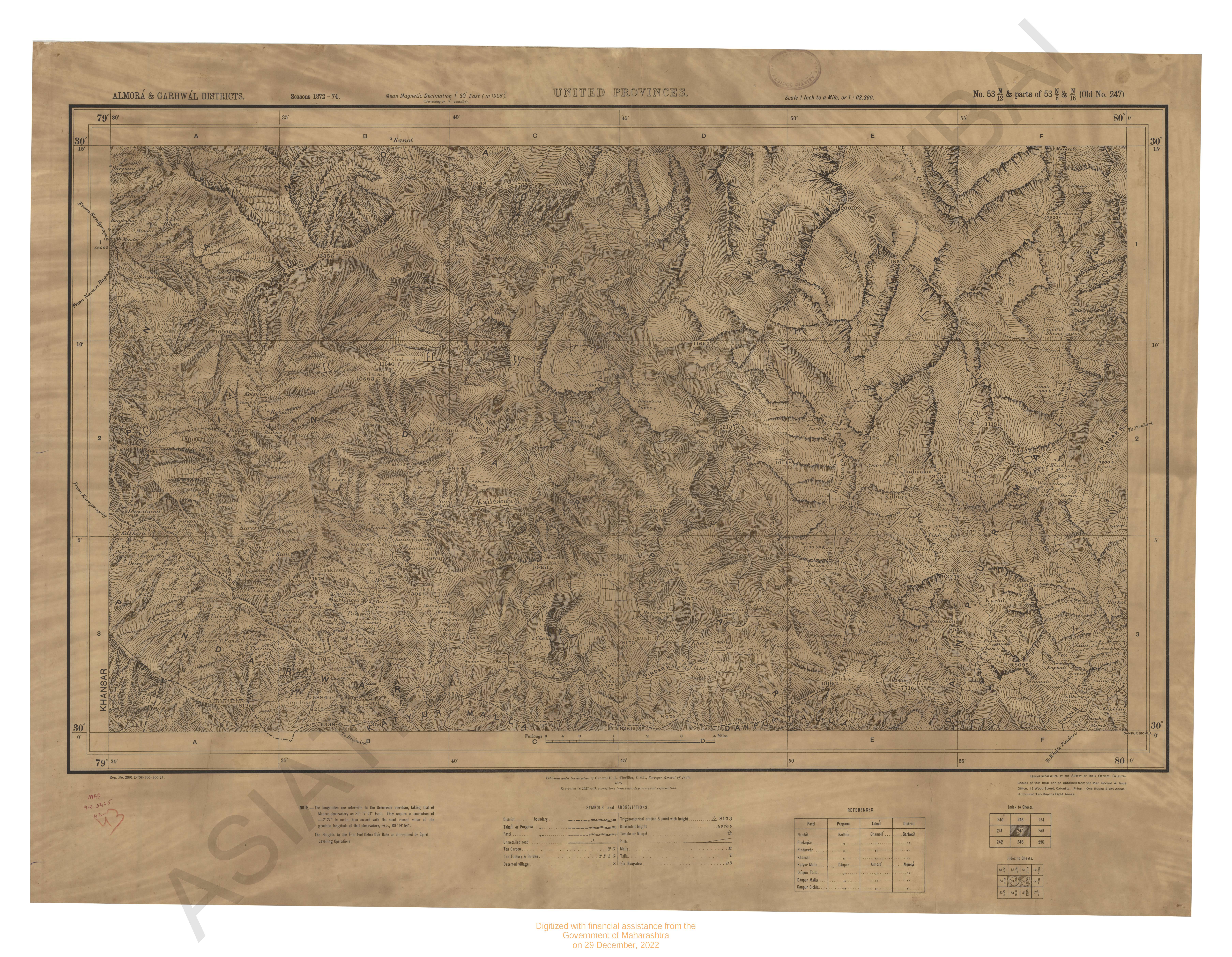
- Almora & Garhwal districts season 1872-75 No. 247 : United provinces
- Year: 1877
- Subject: Topographic Map
- Publisher: Surveyor General's Office
- Language: English
- Place of Publication: Calcutta
- 2 Views