-
- 3 Views
-
- 4 Views
-
- 2 Views
-
- 4 Views
-
- 4 Views
-
- 2 Views
-
- 2 Views
-
- 84 Views
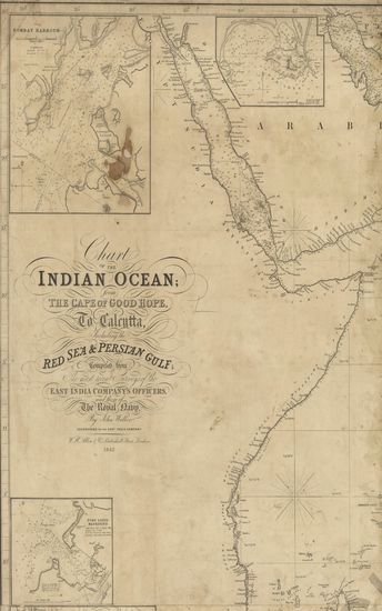
- Chart of the Indian Ocean from the Cape of Good Hope, t ...
- Year: 1842
- Author: Walker, John
-
- 63 Views
- Chart of Part of the West Coast of Ceylan
- Year: 1798
-
- General chart of the River Hoogly, and the approaches to it from false point to Calcutta.
- Year: 1840
- Subject: Topographic Map
- Publisher: W.H. Allen & Co.
- Language: English
- Place of Publication: London
- 3 Views
-
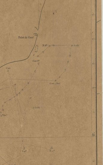
- Plan of Nano Harbour on the South coast of China 1807.
- Subject: Topographic Map
- Language: English
- Place of Publication: London
- 4 Views
-
- Indian Ocean Ceylon; South coast surveyed in 1833.
- Year: 1800
- Subject: Topographic Map
- Publisher: Hydographic office
- Language: English
- Place of Publication: London
- 2 Views
-
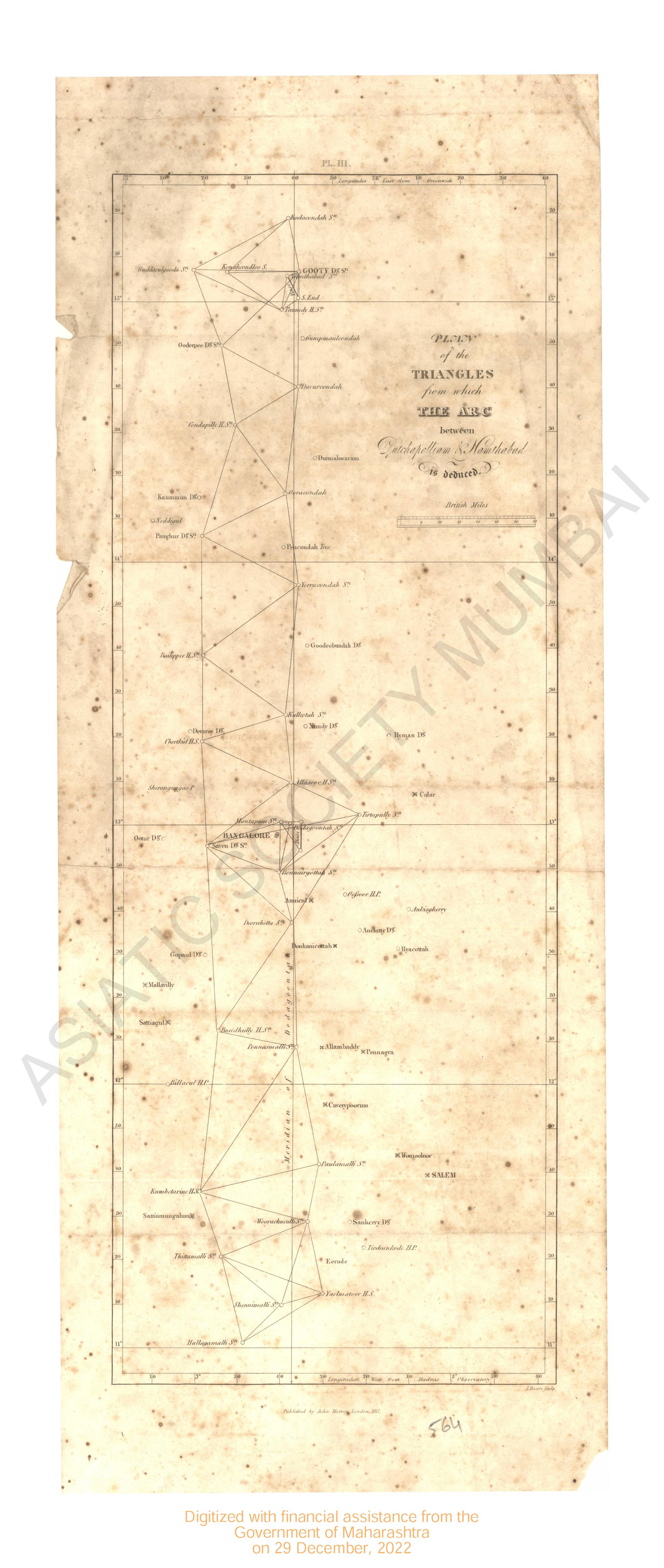
- Plan of the Triangles from which the arc between Lutchapolliam & Namthabad is deduced.
- Year: 1817
- Subject: Topographic Map
- Publisher: John Murray
- Language: English
- Place of Publication: London
- 4 Views
-
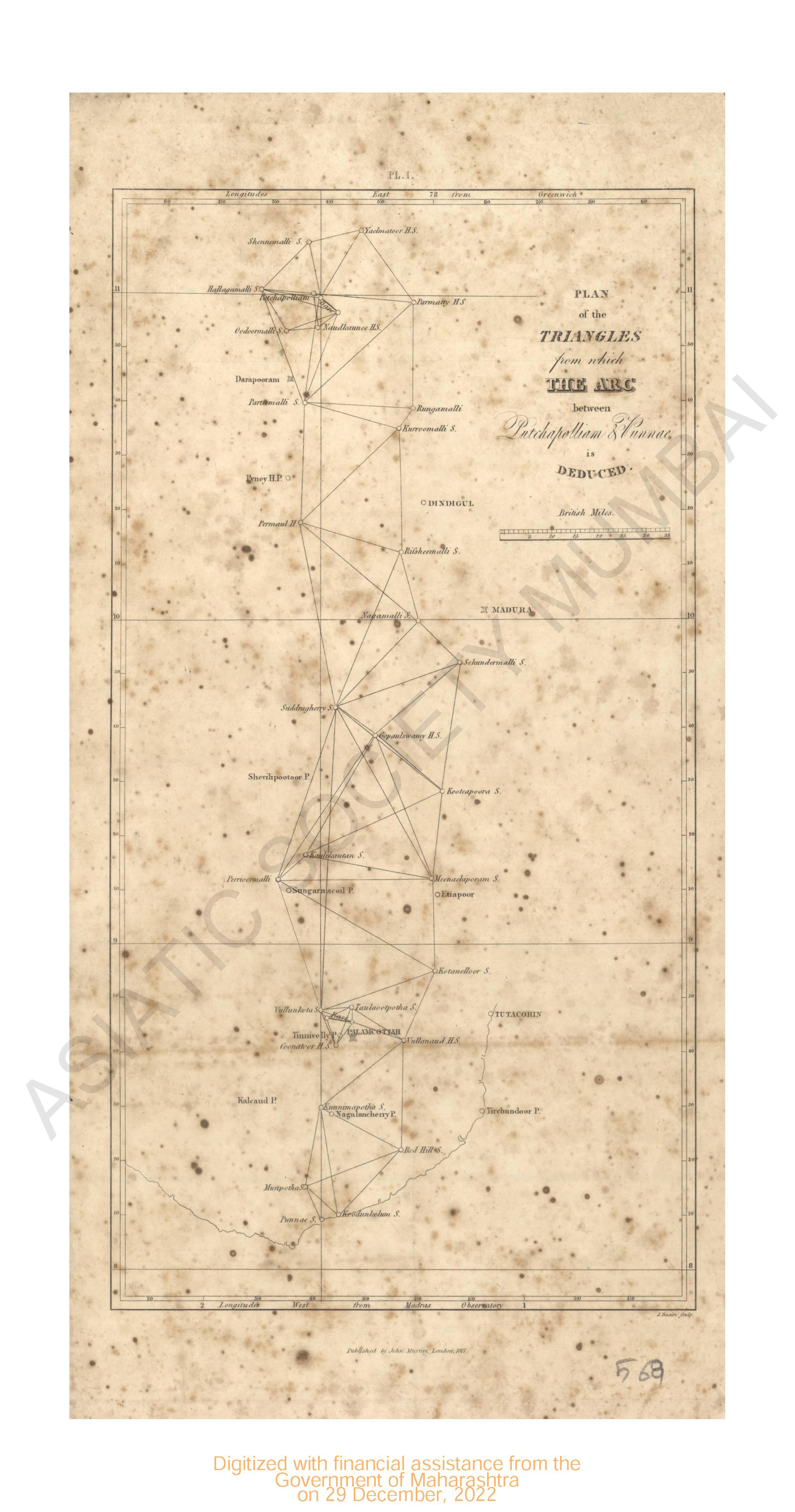
- Plan of the Triangles from which the arc between Lutchapolliam & Vunnae is deduced.
- Year: 1817
- Subject: Topographic Map
- Publisher: John Murray
- Language: English
- Place of Publication: London
- 4 Views
-
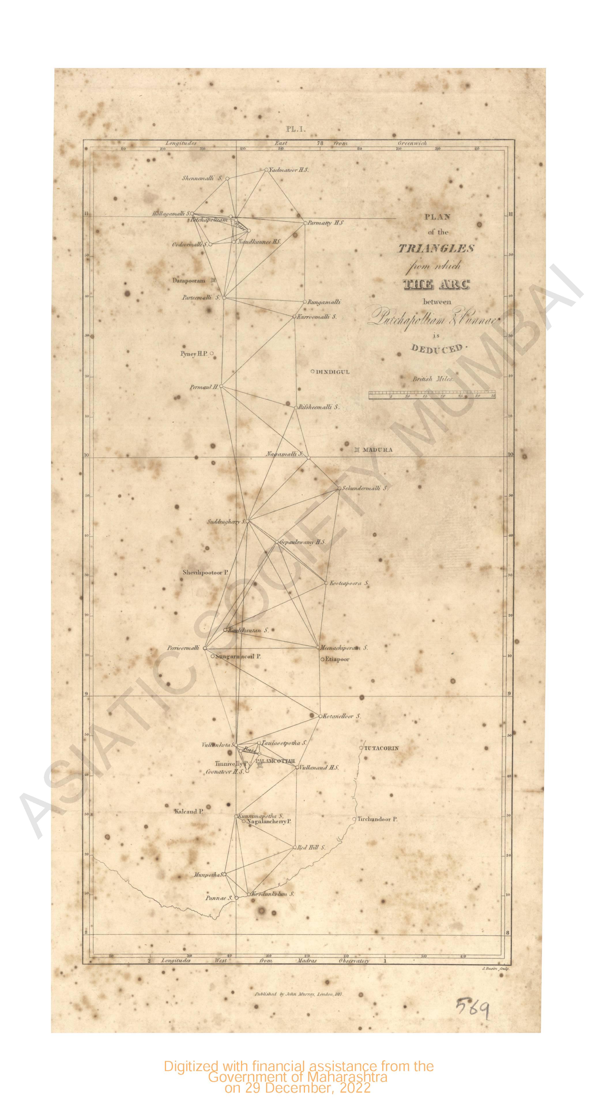
- Plan of the Triangles from which the arc between Lutchapolliam & Vunnae is deduced.
- Year: 1817
- Subject: Topographic Map
- Publisher: John Murray
- Language: English
- Place of Publication: London
- 2 Views
-
- Plan of the Triangles from which the Arc between (Lutchapolliam) Putchapolliam & Namthabad is deduced.
- Year: 1817
- Subject: Topographic Map
- Publisher: John Murray
- Language: English
- Place of Publication: London
- 2 Views
-
- Chart of the Indian Ocean from the Cape of Good Hope, to Calcutta, Including the Red Sea & Persian Gulf
- Year: 1842
- Author: Walker, John
- Publisher: London W.H.Allen & Co. 1842
- Language: English
- Place of Publication: London
- 84 Views
-
- Chart of Part of the West Coast of Ceylan
- Year: 1798
- Subject: Topographic Map
- Publisher: London A. Dalrymple 1798
- Language: English
- Place of Publication: London
- 63 Views